| Photos
from a February 2001 hike at Samuel P. Taylor State Park (click on any image for a larger view) |
|||||||
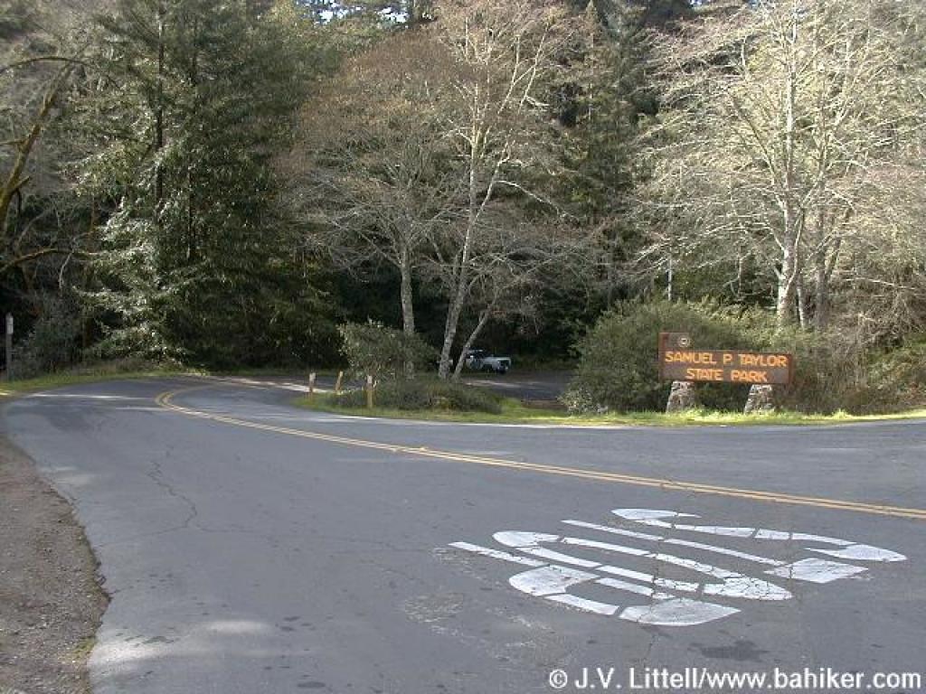 Park entrance |
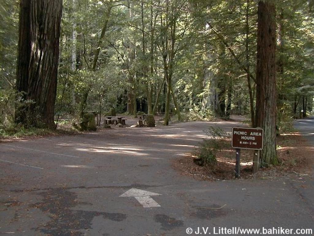 Picnic area |
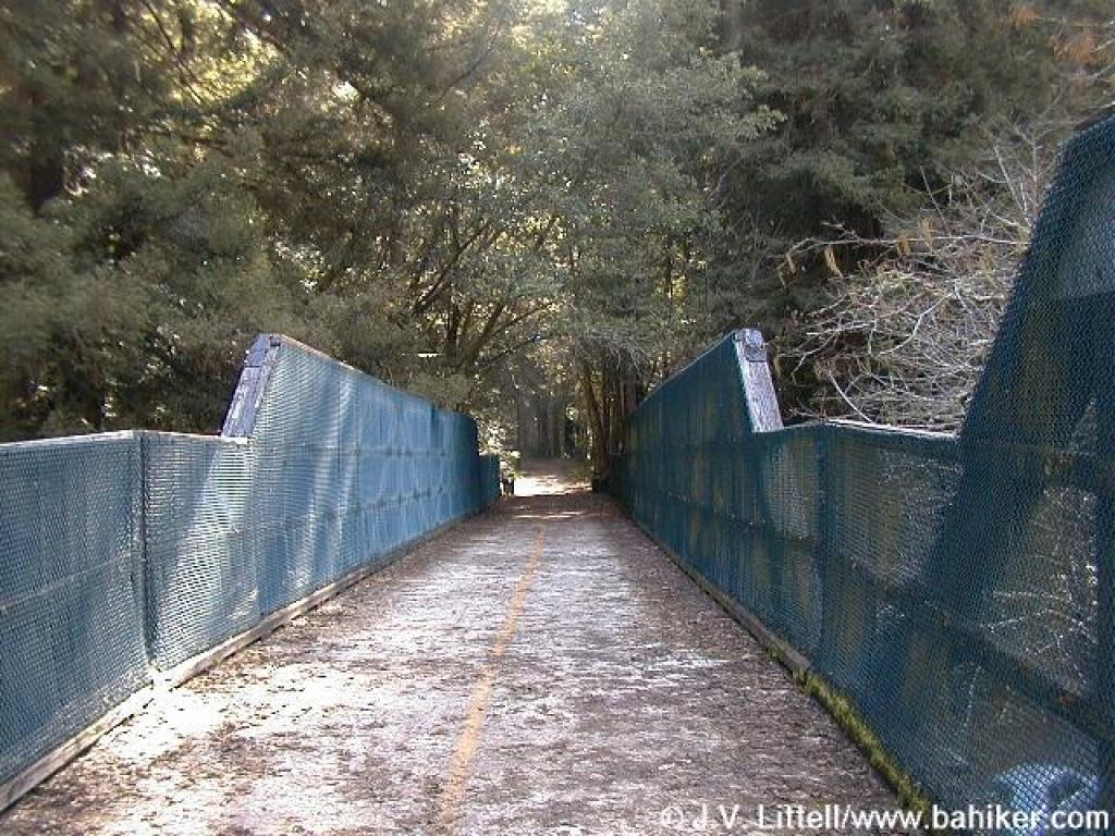
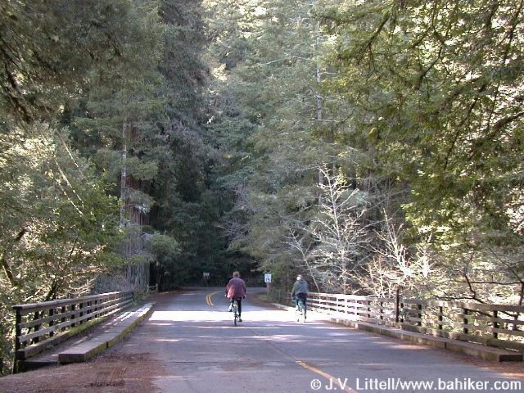 Bridge crossing Papermill Creek |
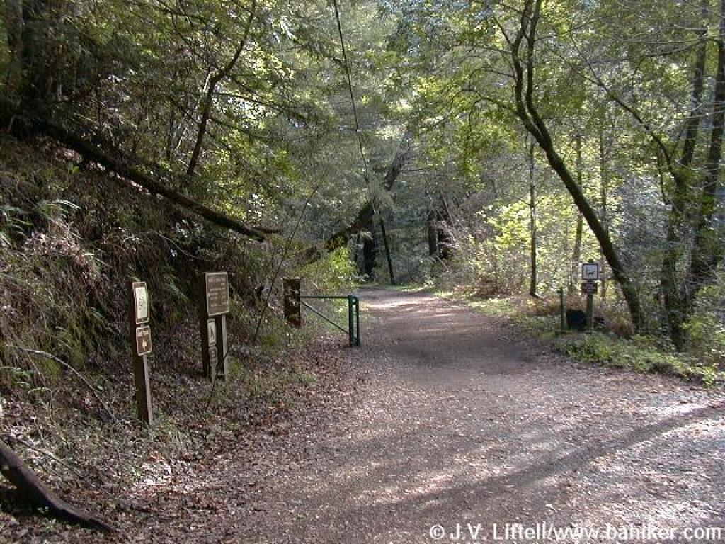
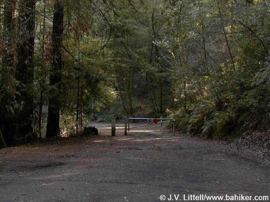 Gate |
||||
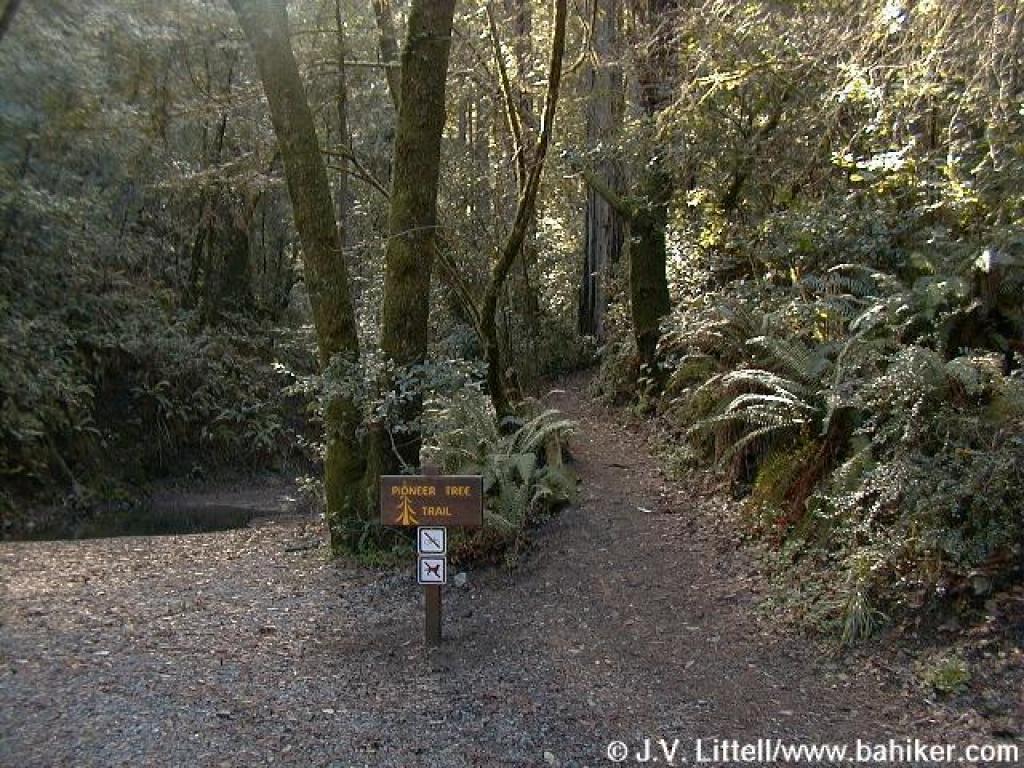 Junction with Pioneer Tree Trail |
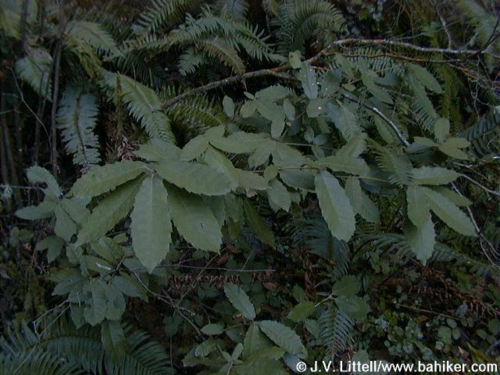 Tanoak |
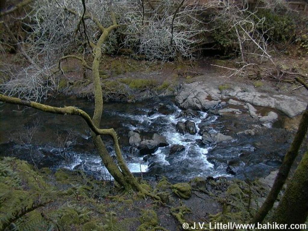 Papermill Creek |
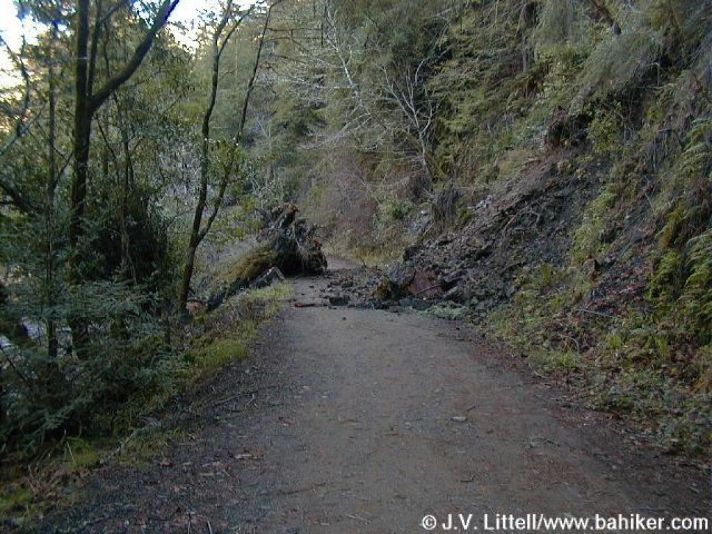 Fallen tree blocks trail |
||||
 Junction with other end of Pioneer Tree Trail |
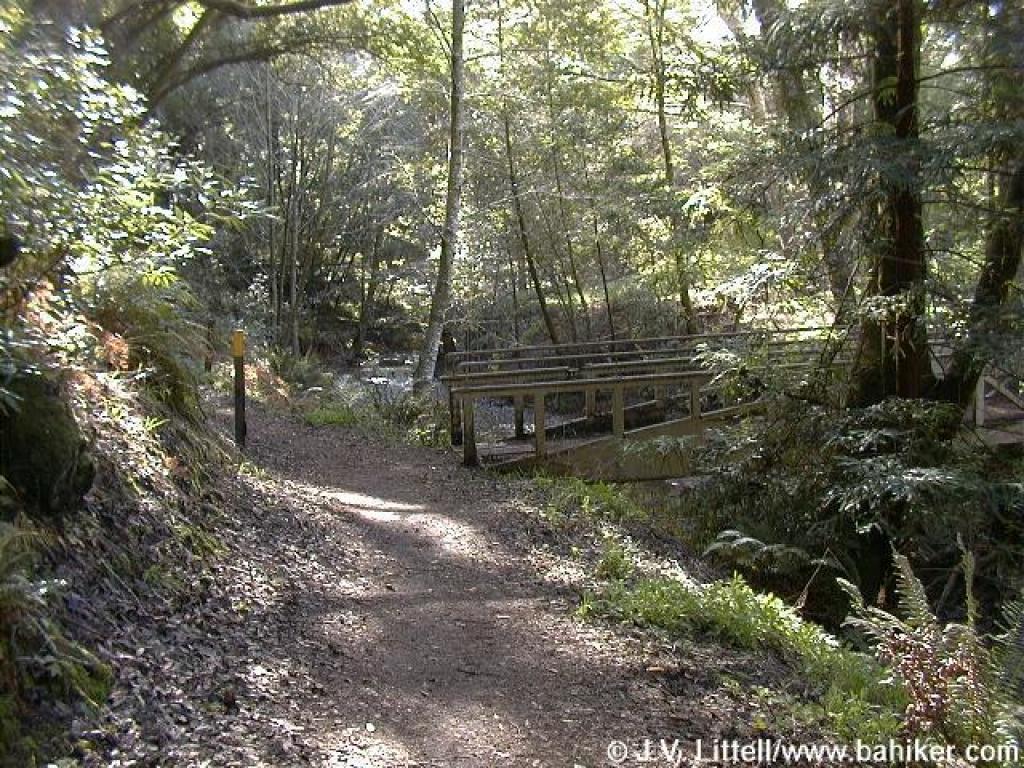
 Bridge crosses creek and road |
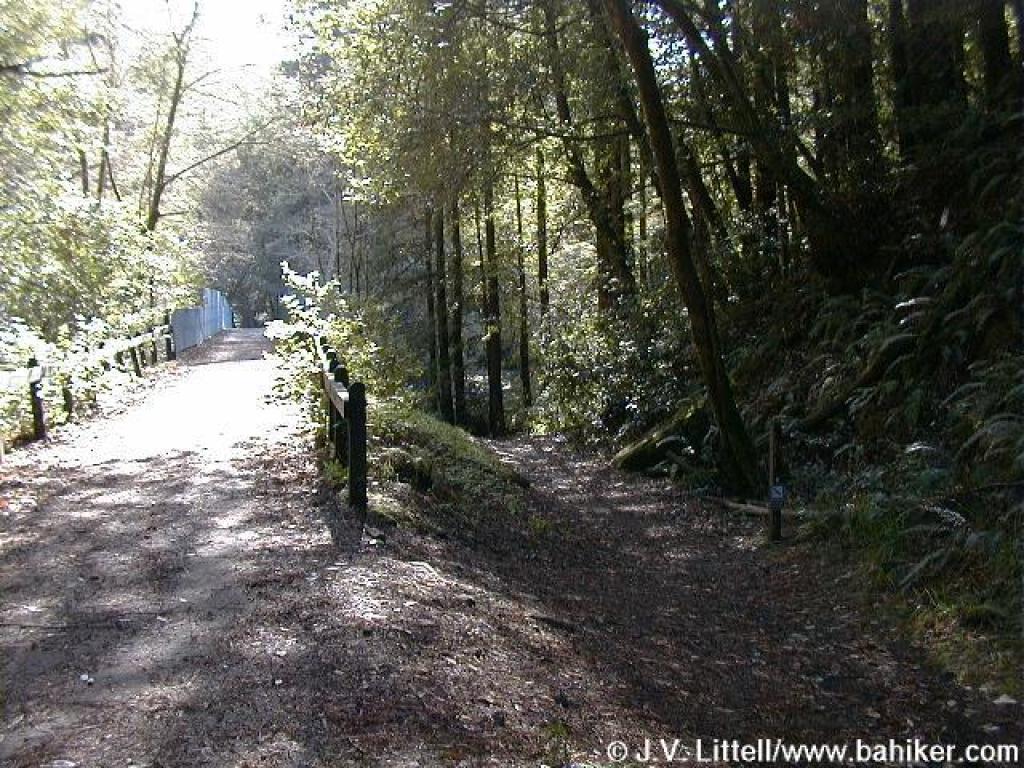
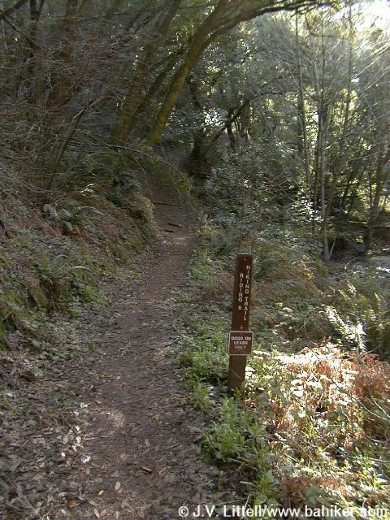
 Junction with Riding and Hiking Trail |
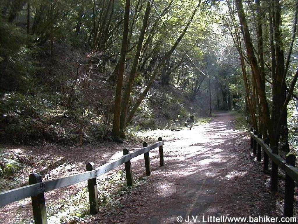
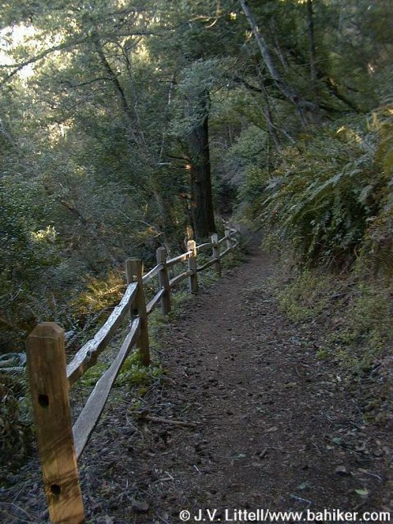
 Riding and Hiking Trail |
||||
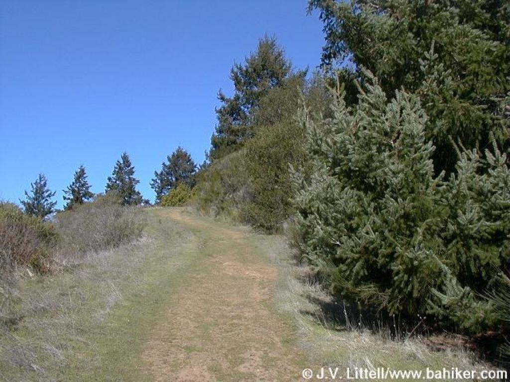
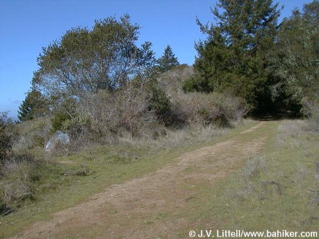
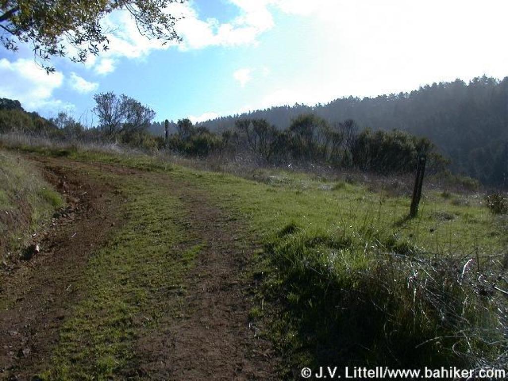
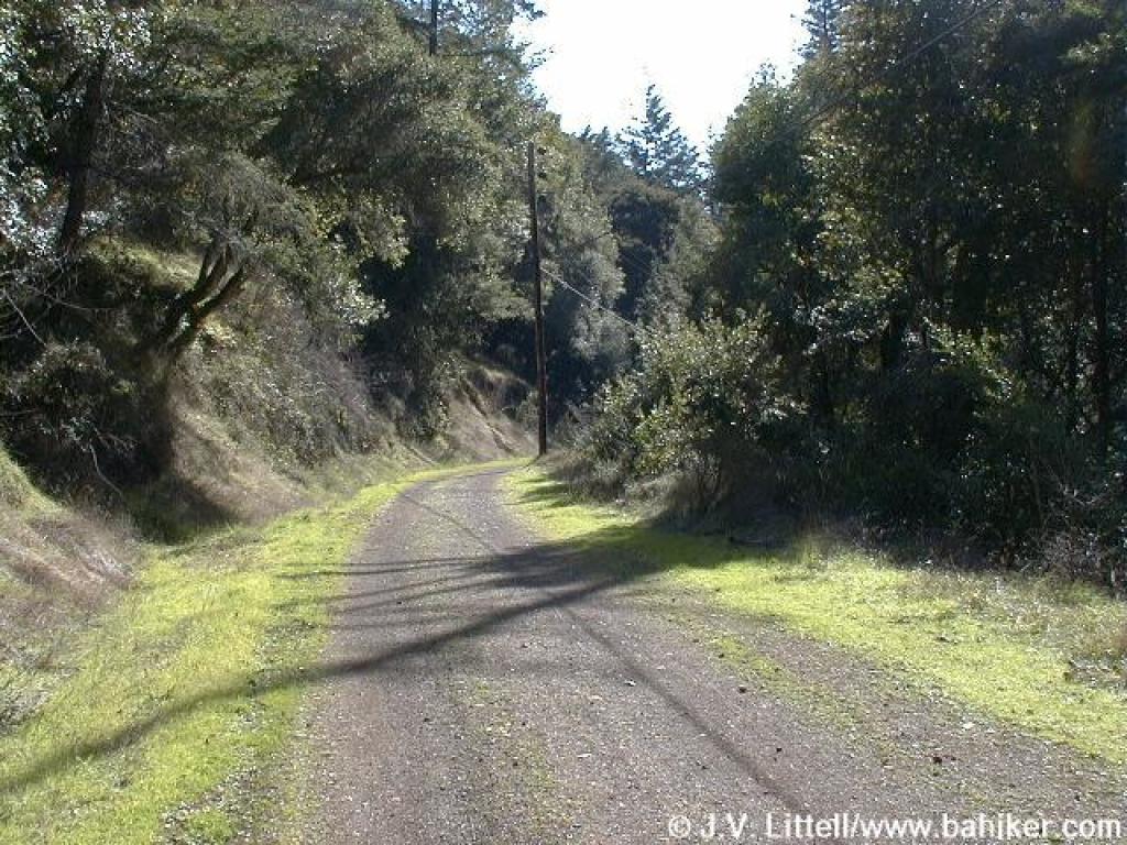 Sunny stretch |
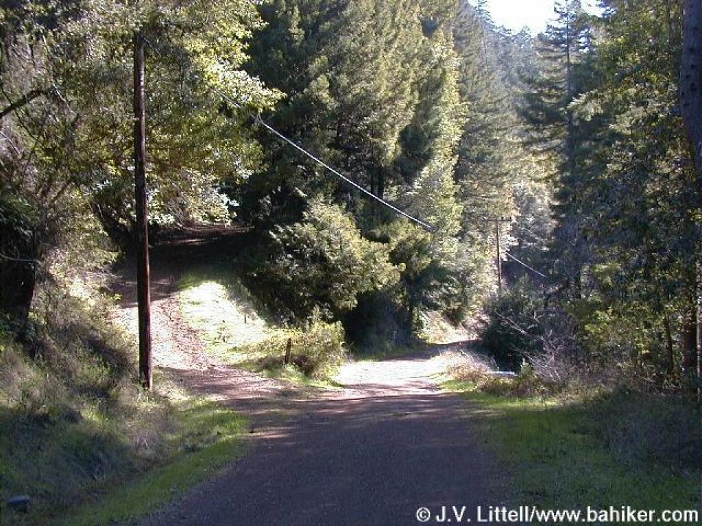 Junction with Barnabe Trail |
 Uphill on Barnabe Trail |
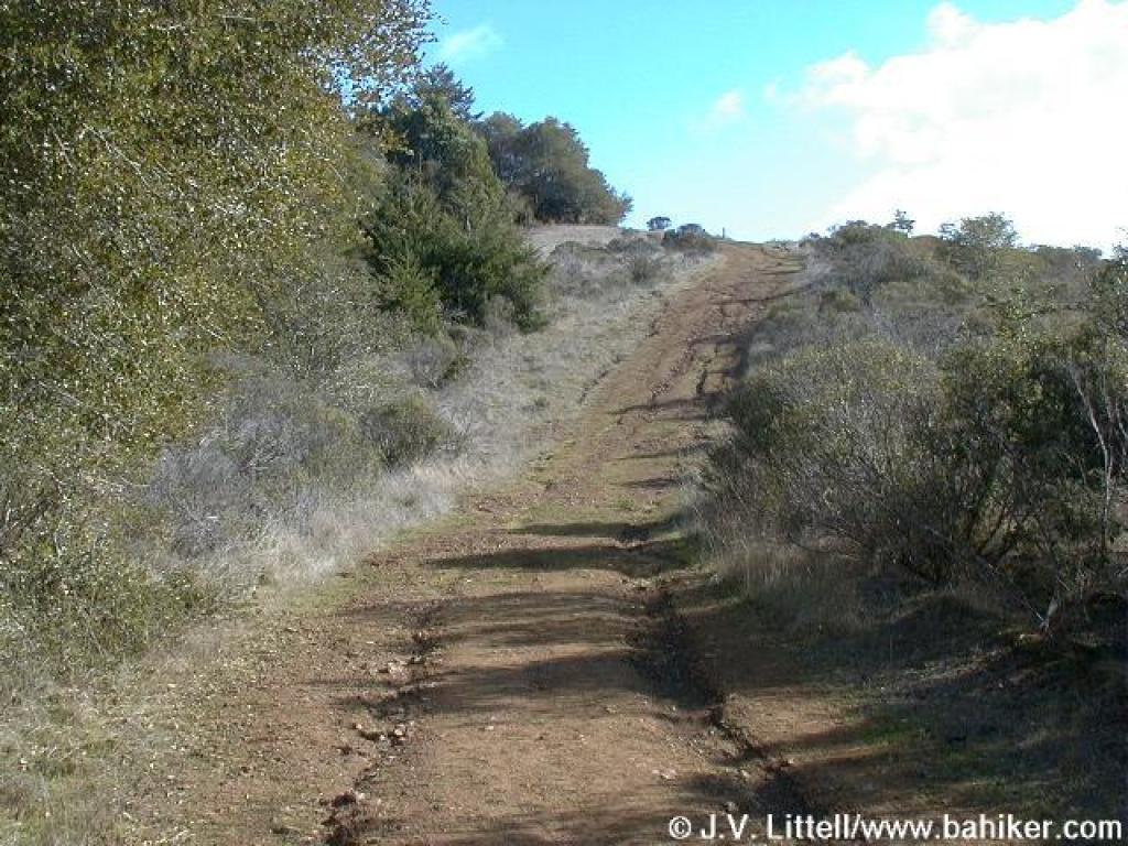
 Broom lined fire road |
||||
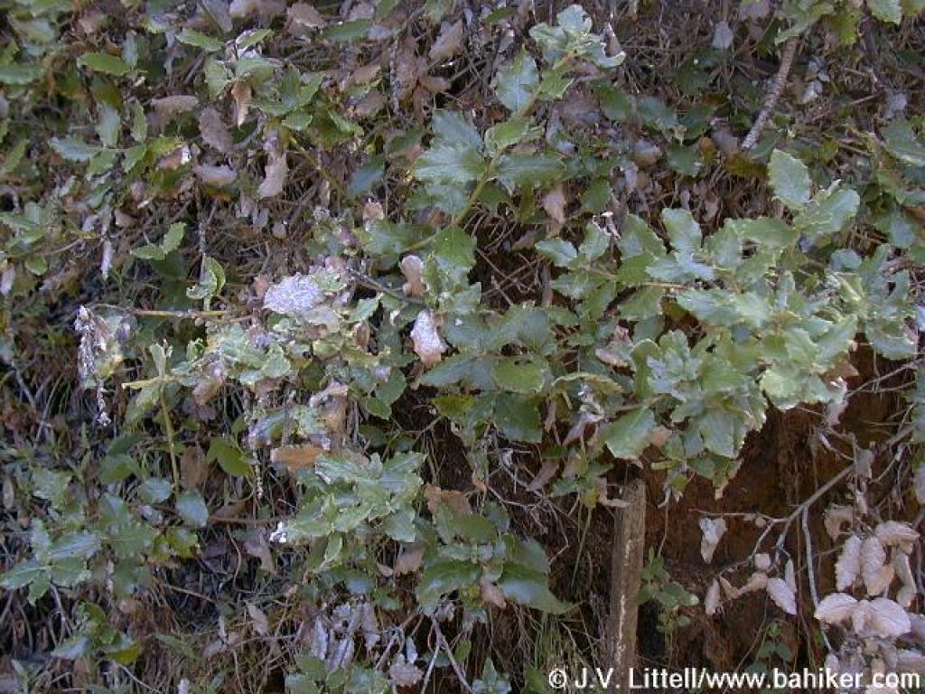 Silktassel |
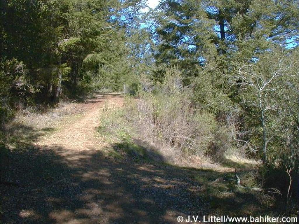
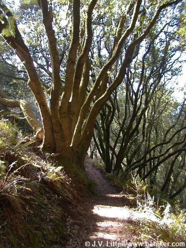
 Douglas firs line the trail |
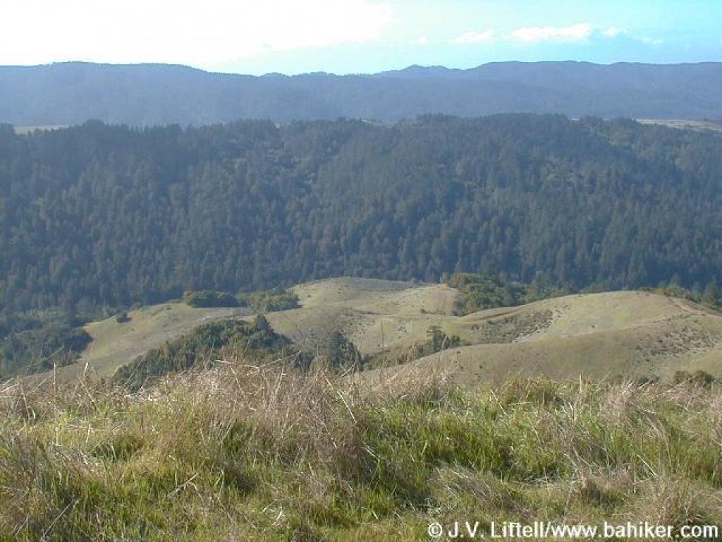
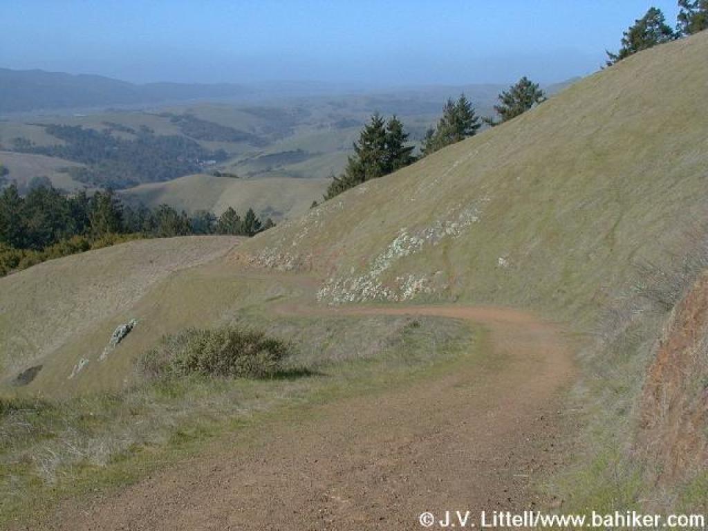
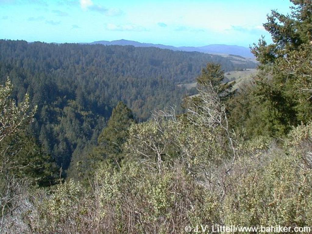 View west |
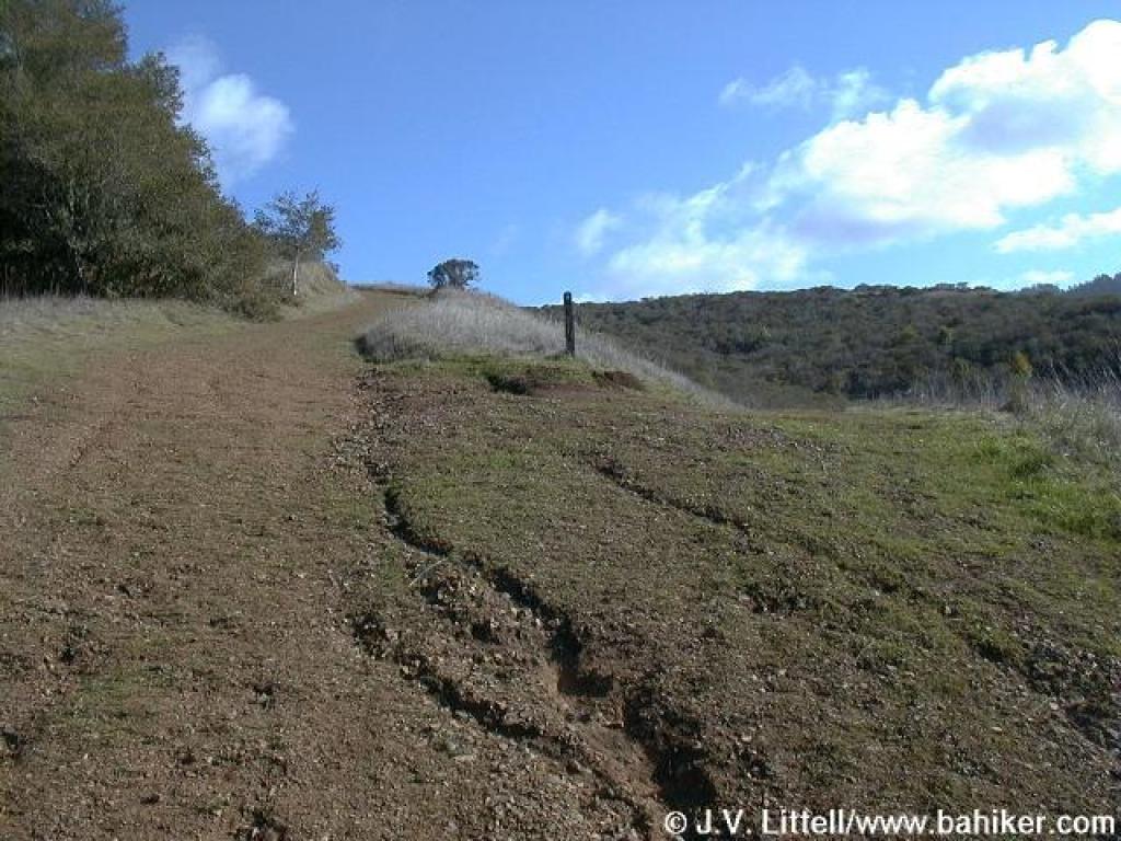
 Steep |
||||
 Little viewpoint on the left side of the trail |
 Unmarked junction; stay straight on Barnabe Trail |
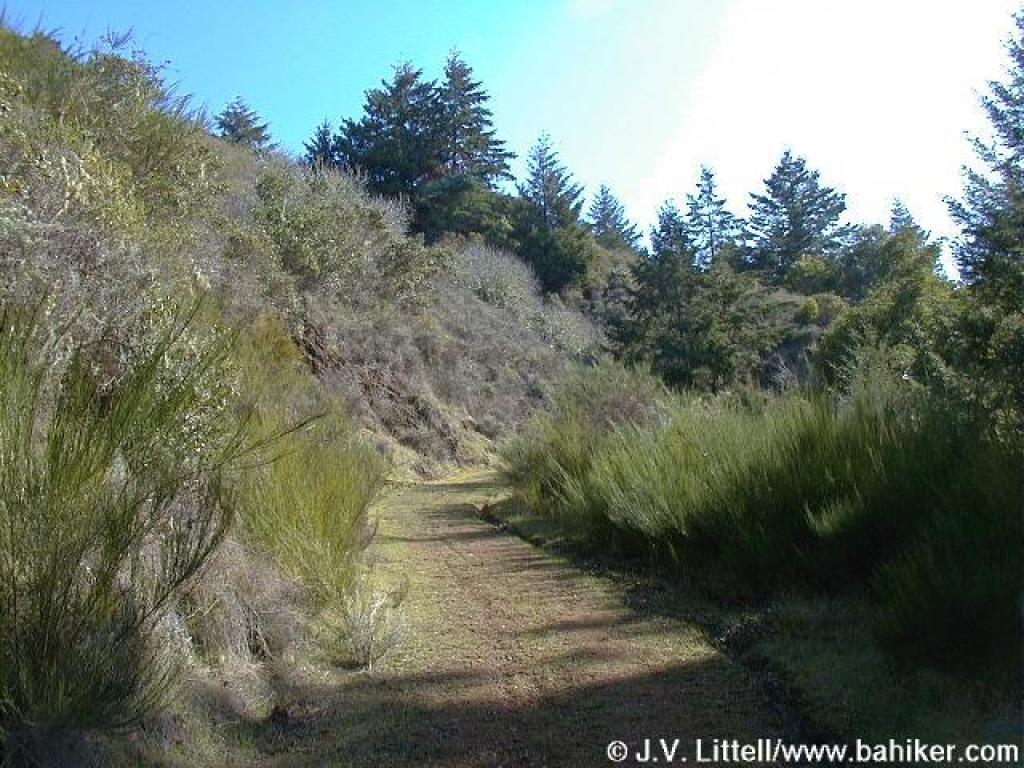
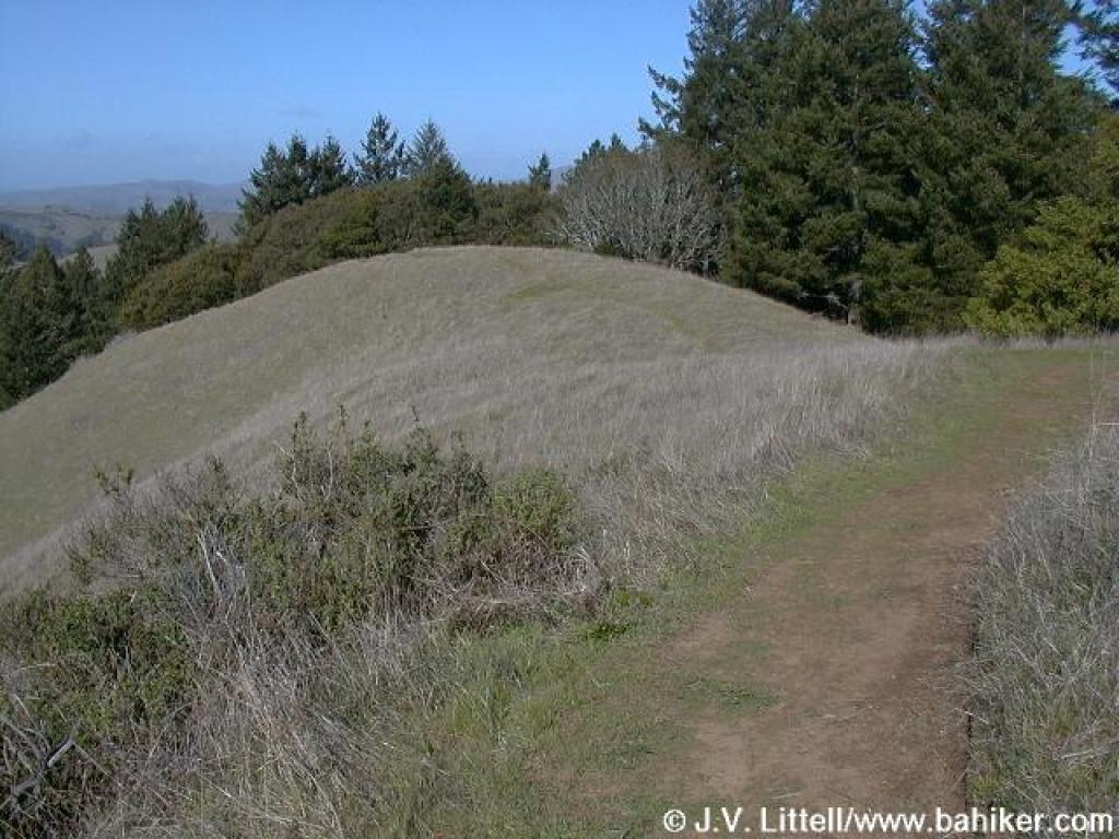
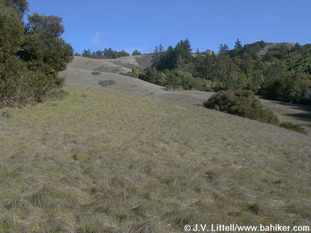
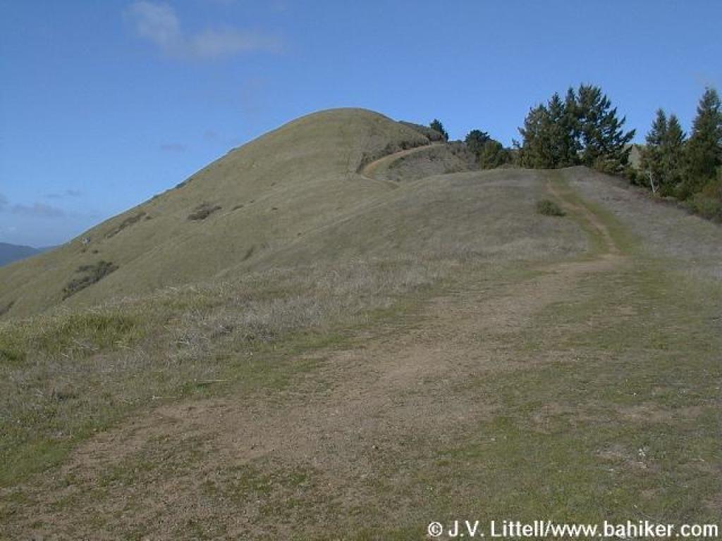 Barnabe Trail enters grassland |
 View back, to the southeast |
||||
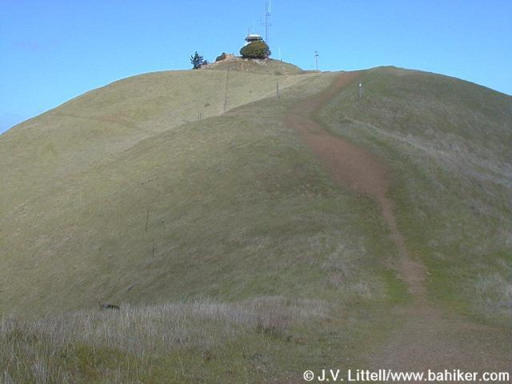 Fire lookout perches on Barnabe Mountain's summit |
 View west |
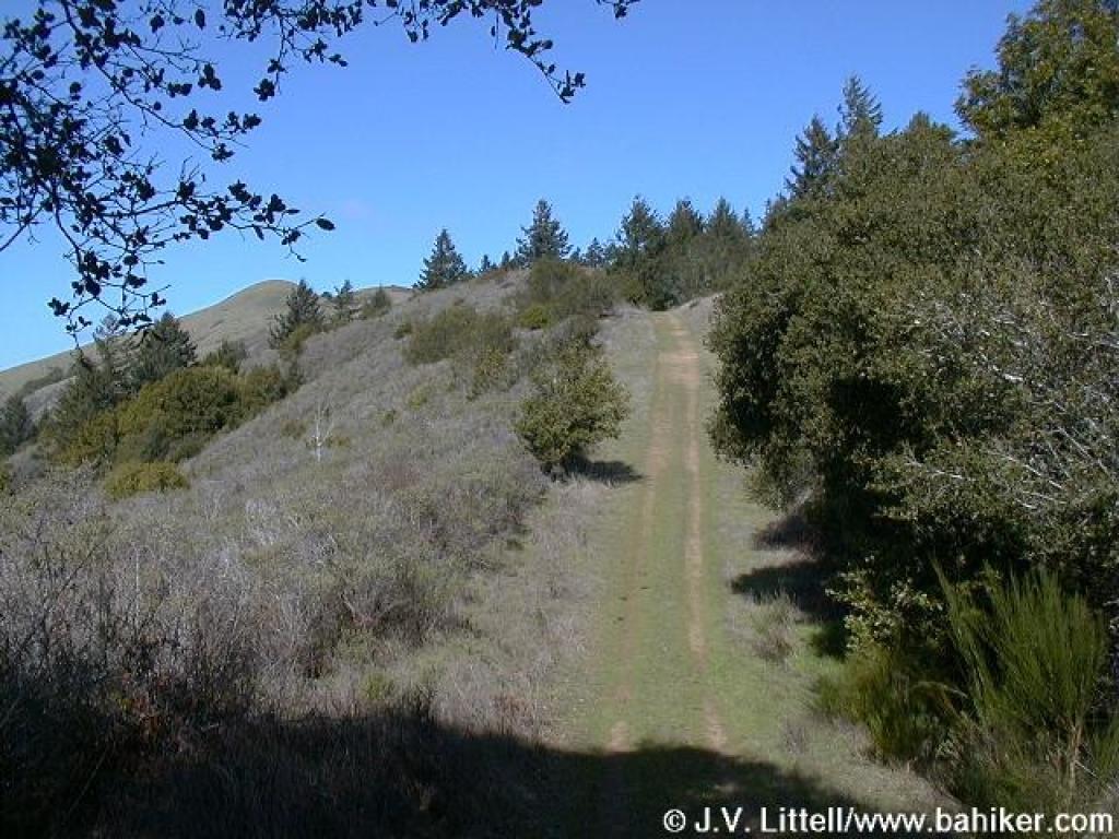
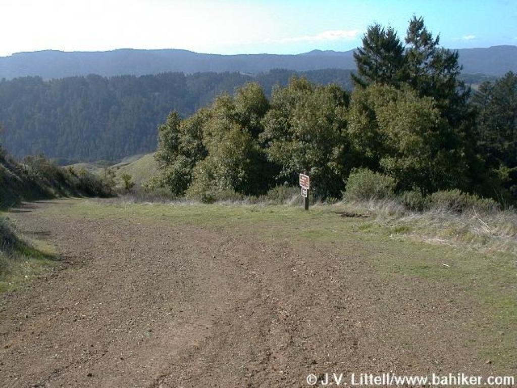
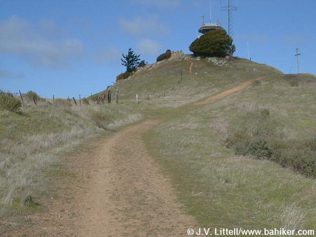 Approaching junction |
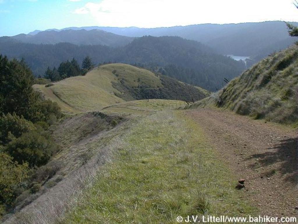
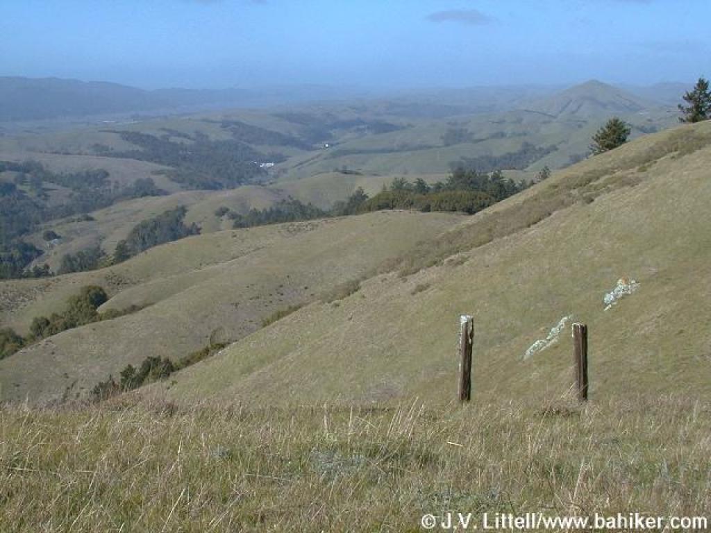
 View encompasses lower reaches of Barnabe Trail as well as Bolinas Ridge |
||||
 Descending on Barnabe Trail |
 Junction with Bill's Trail |
 Bill's Trail leaves grassland almost immediately |
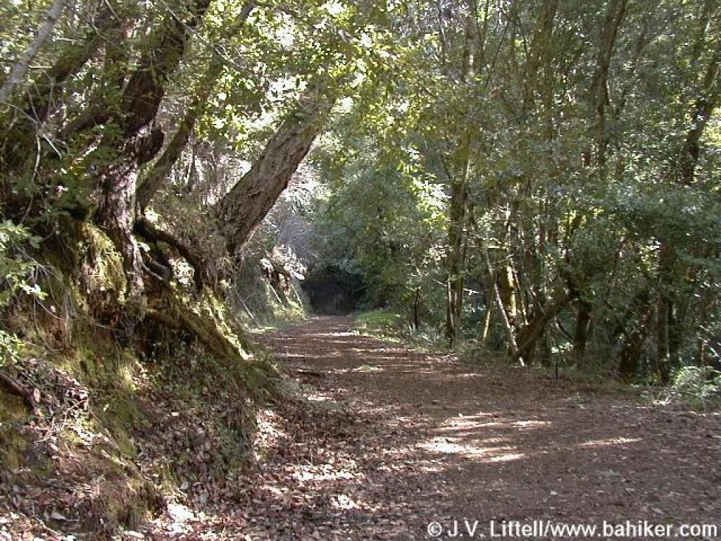
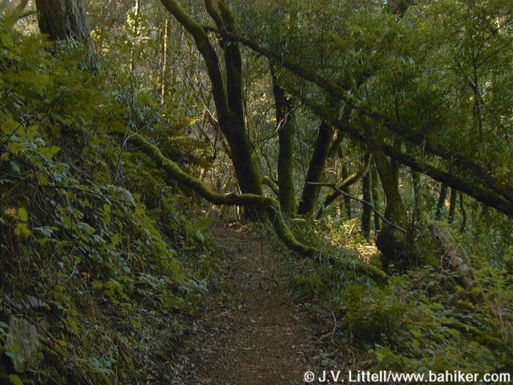
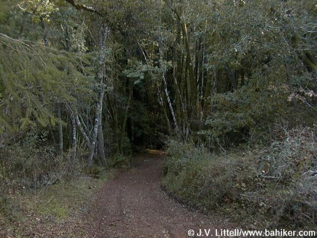
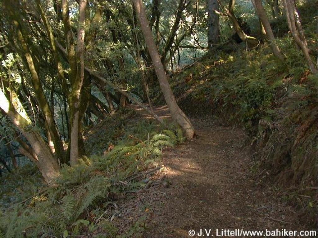 Into the woods |
||||
 Fences prevent shortcuts |
 First of many bridges |
 California bay |
 Moss covers tree branches along this shady trail |
||||
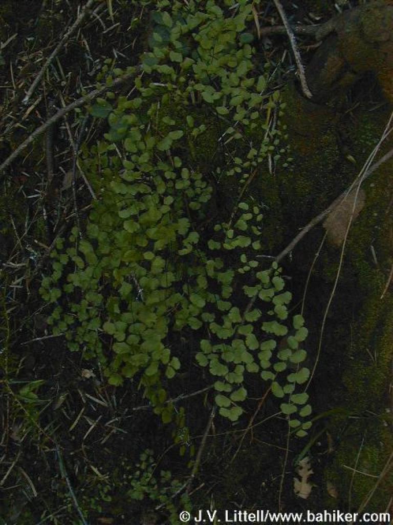 Maidenhair fern |
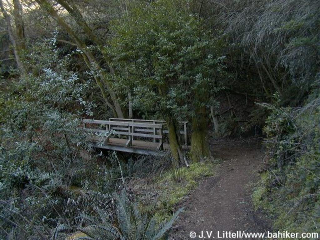
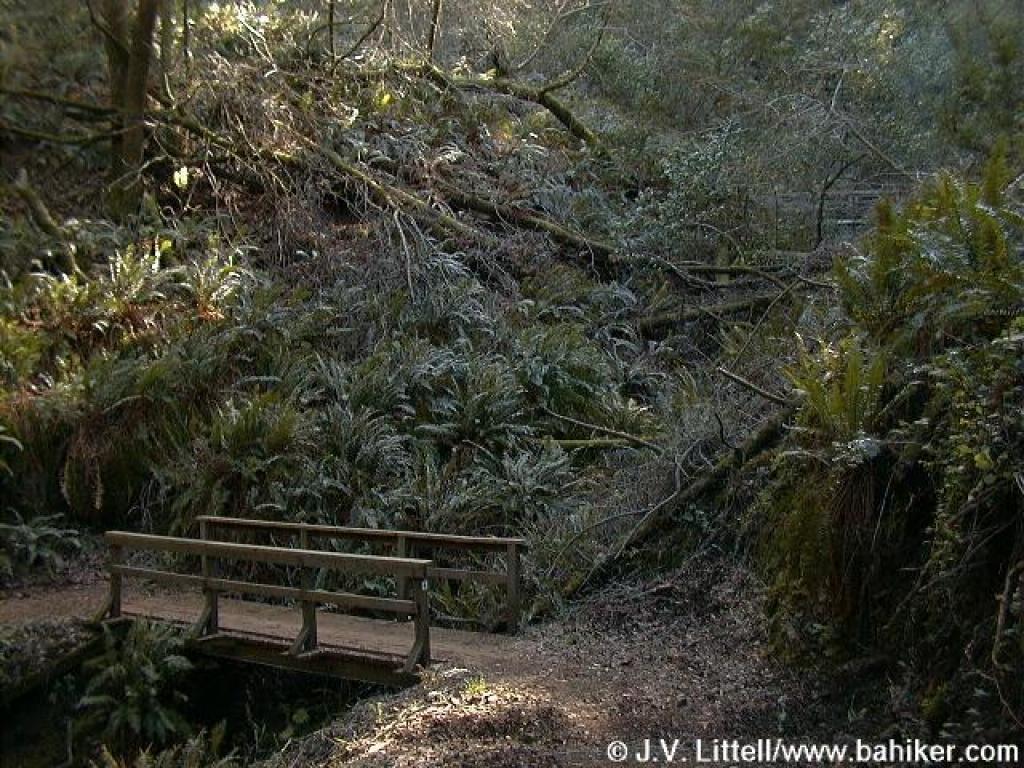 Two more bridges |
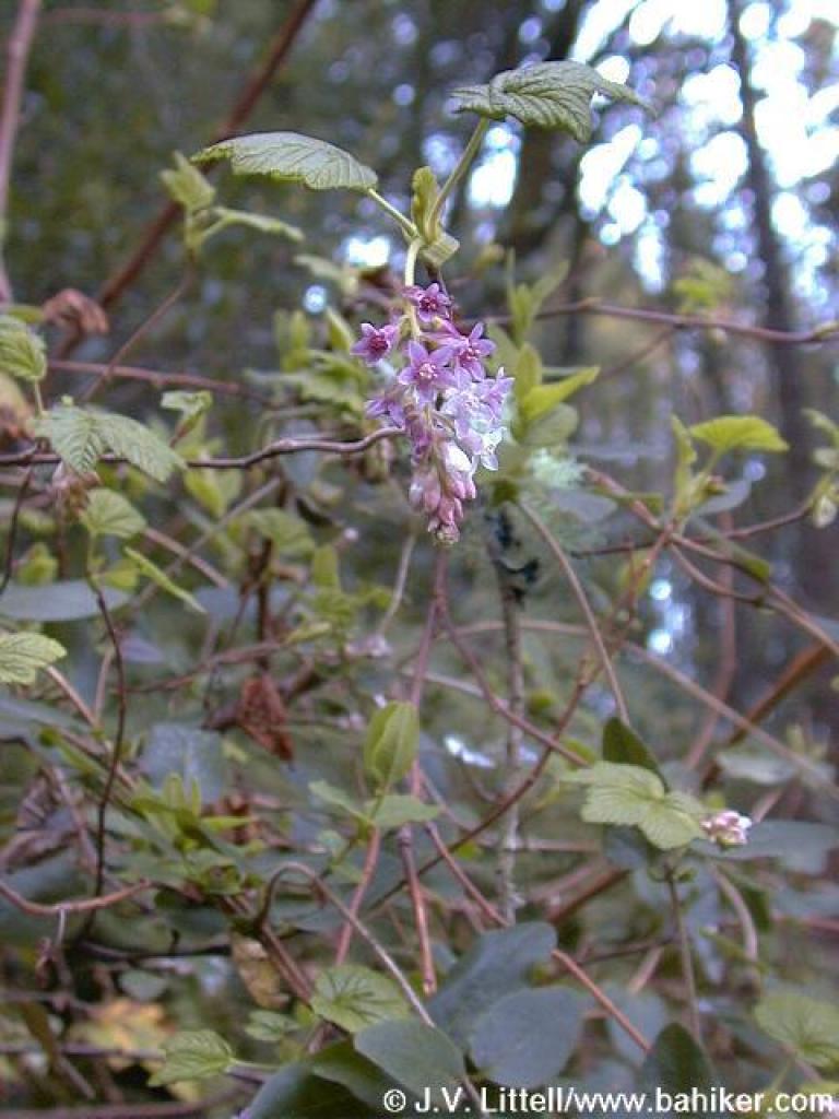 Flowering currant |
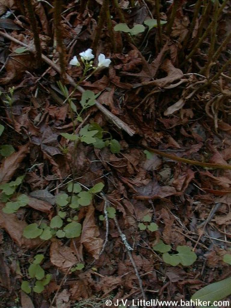 Milkmaids |
||||
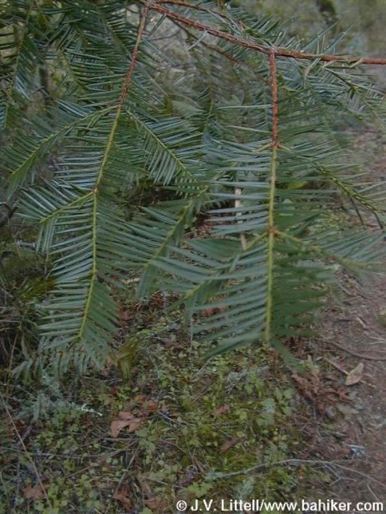 California nutmeg |
 Junction with path to Stairstep Falls |
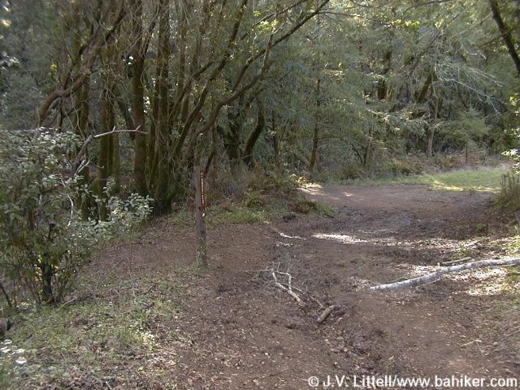
 Junction at Devil's Gulch |
 Riding and Hiking Trail |
||||
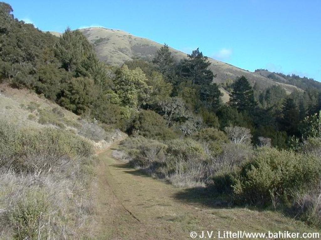
 View uphill to Barnabe Mountain |
 Junction with closed trail |
 Junction with path to Taylor Grave site |
 Climb to junction with Barnabe Trail |
||||
 Junction with Barnabe Trail |
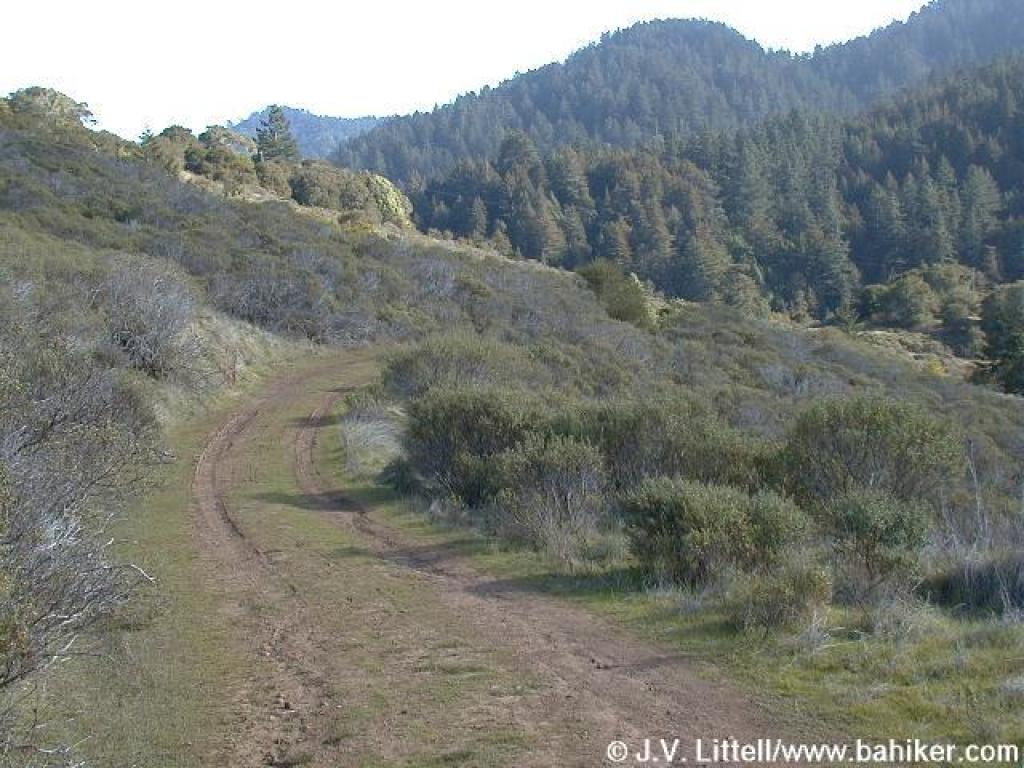 Riding and Hiking Trail winds through chaparral |
 Trail heads back under tree cover |
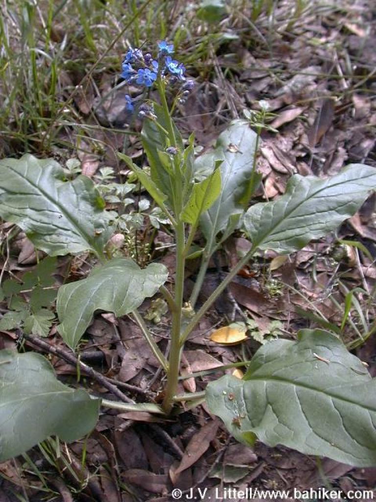 Hound's Tongue |
||||
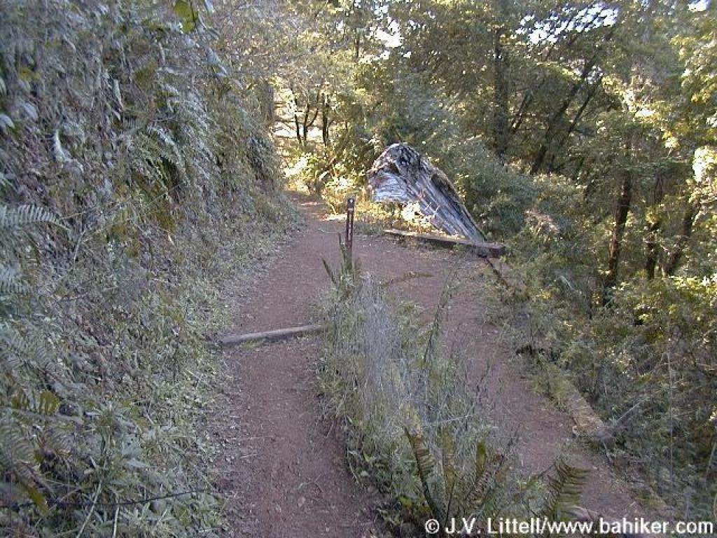
 Trail takes a sharp drop to near the road |
Go to Bay Area Hiker Samuel P. Taylor page Go to Bay Area Hiker Home page |
||||||