| Photos
from a December 2001 hike at Coal Creek Open Space Preserve (click on any image for a larger view) |
|||||||
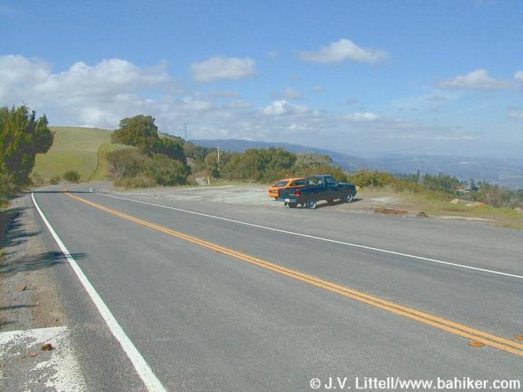 The Vista Point on Skyline Boulevard is the trailhead for this hike |
 You have to walk north on Skyline Boulevard to get to the preserve |
 Turn right at Cloud's Rest Road |
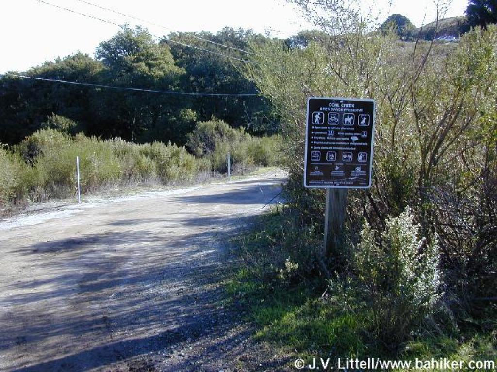 A MROSD sign |
||||
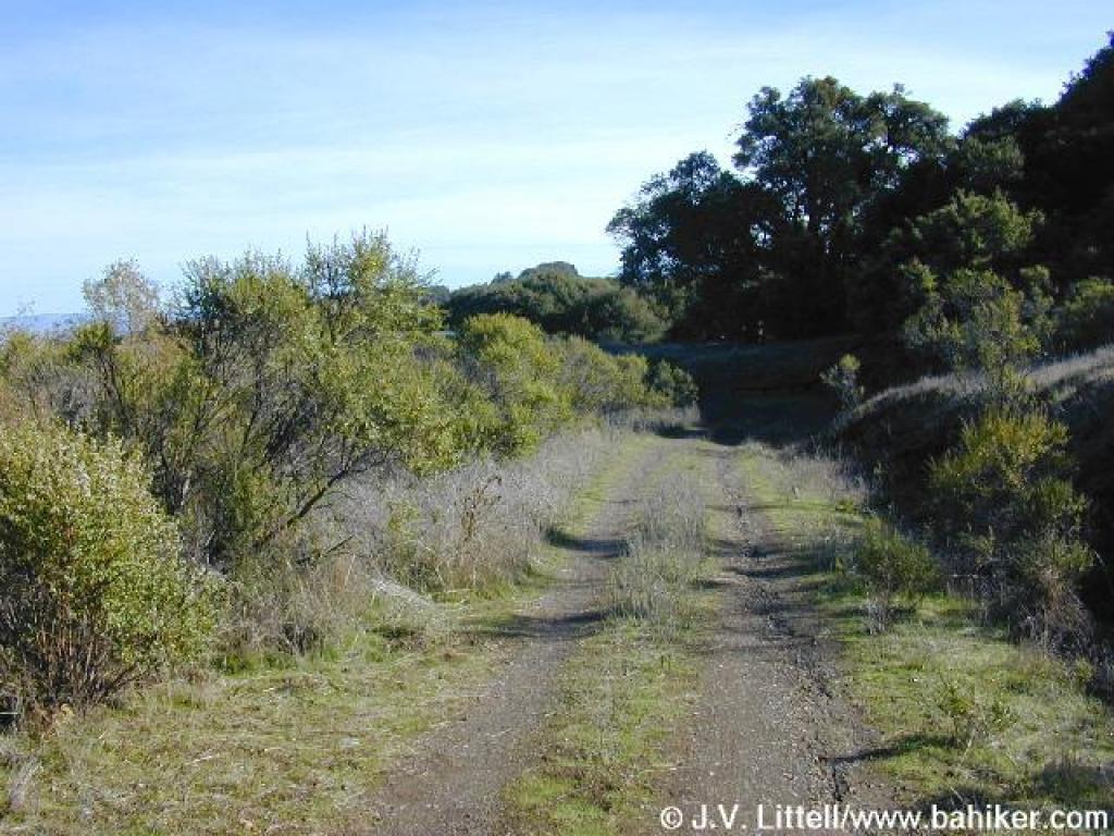
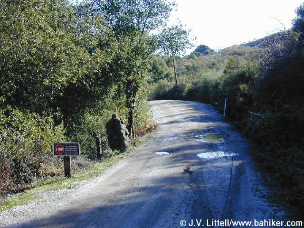 Downhill |
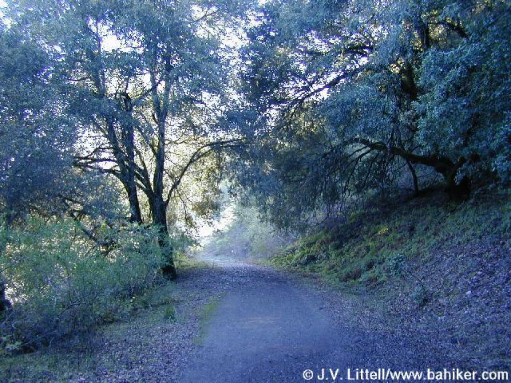
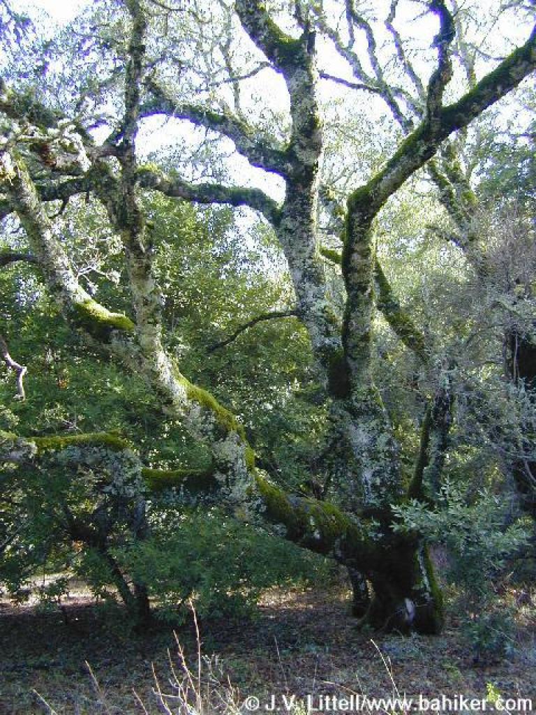
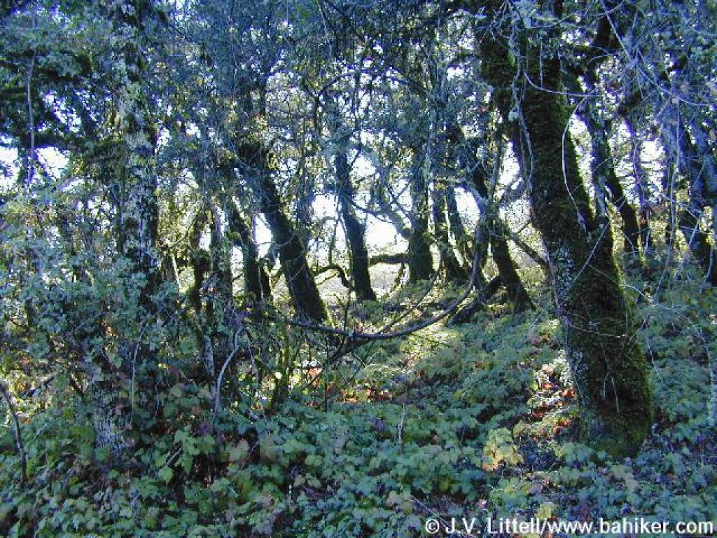 Mossy oaks on the side of the road |
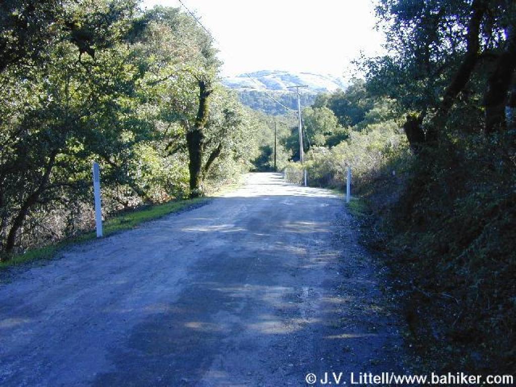 Monte Bello Open Space Preserve's Black Mountain is visible |
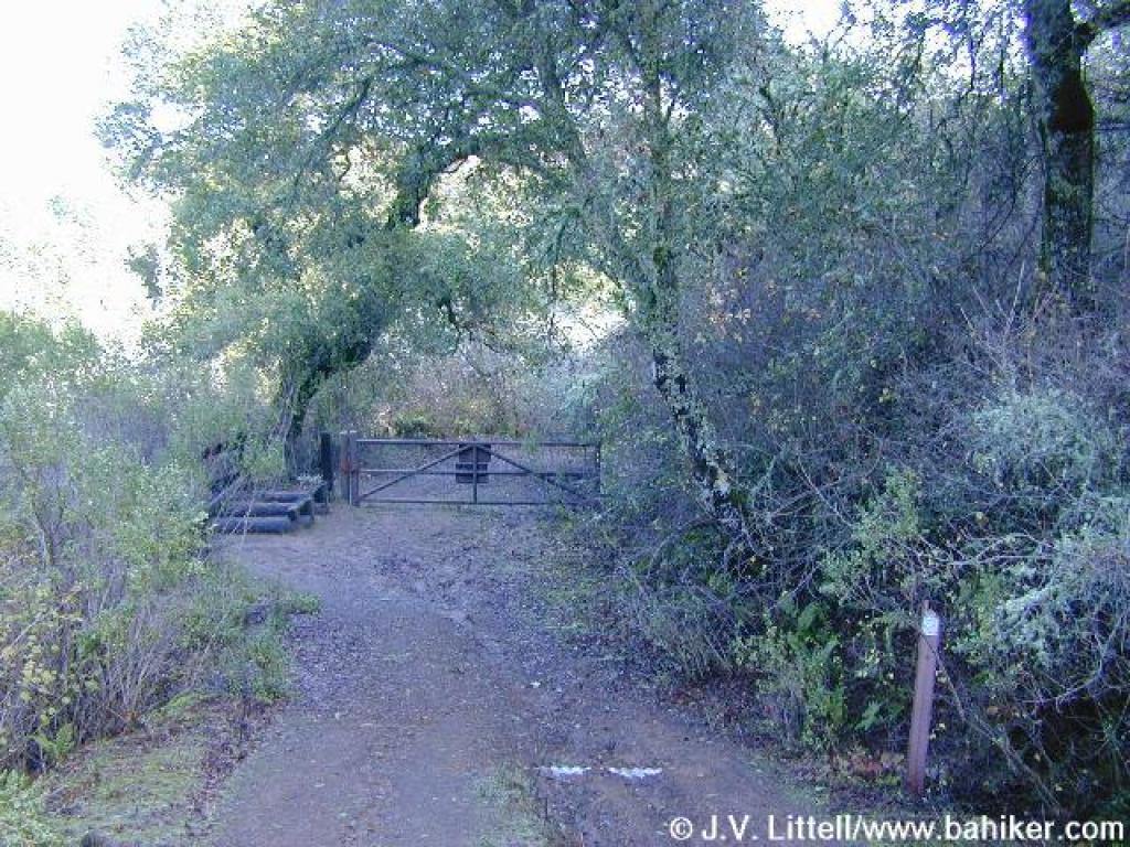
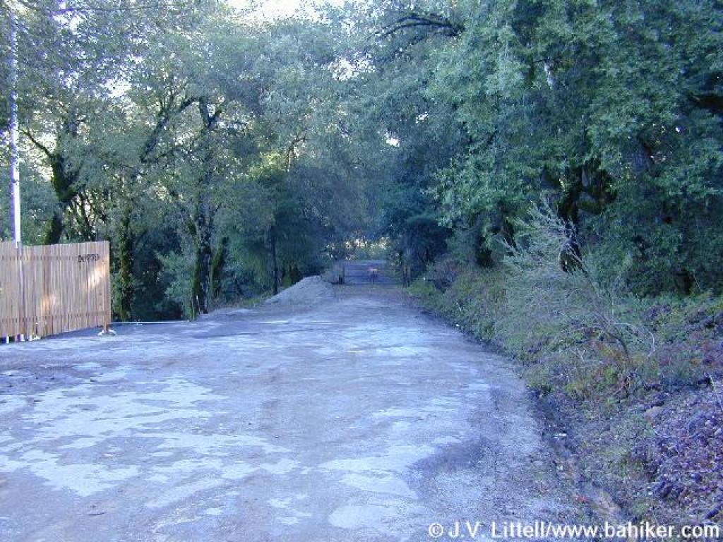 MROSD gate |
||||
 Meadow Trail |
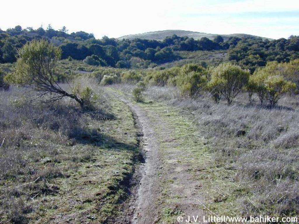
 Emerging in grassland |
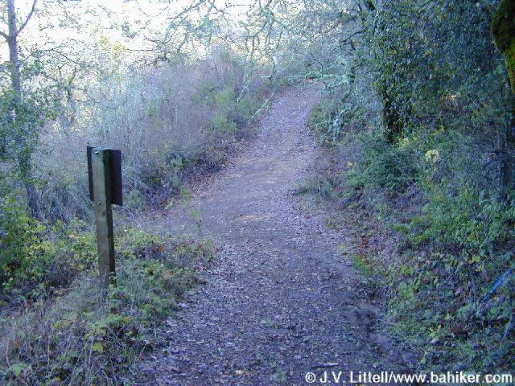
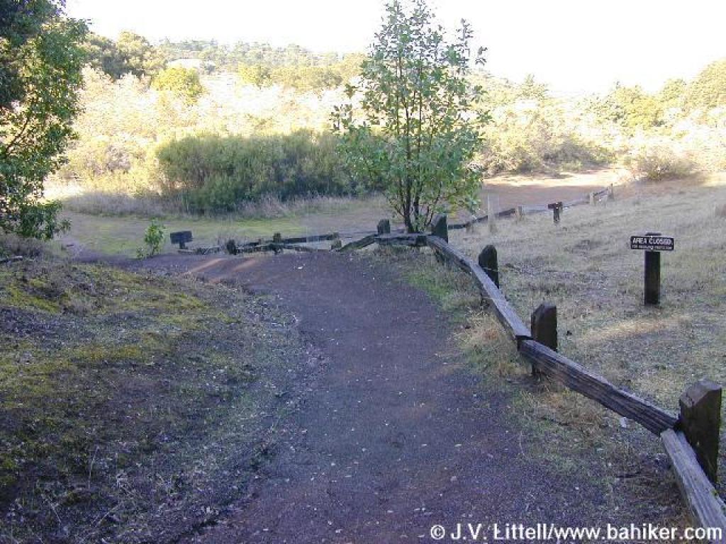
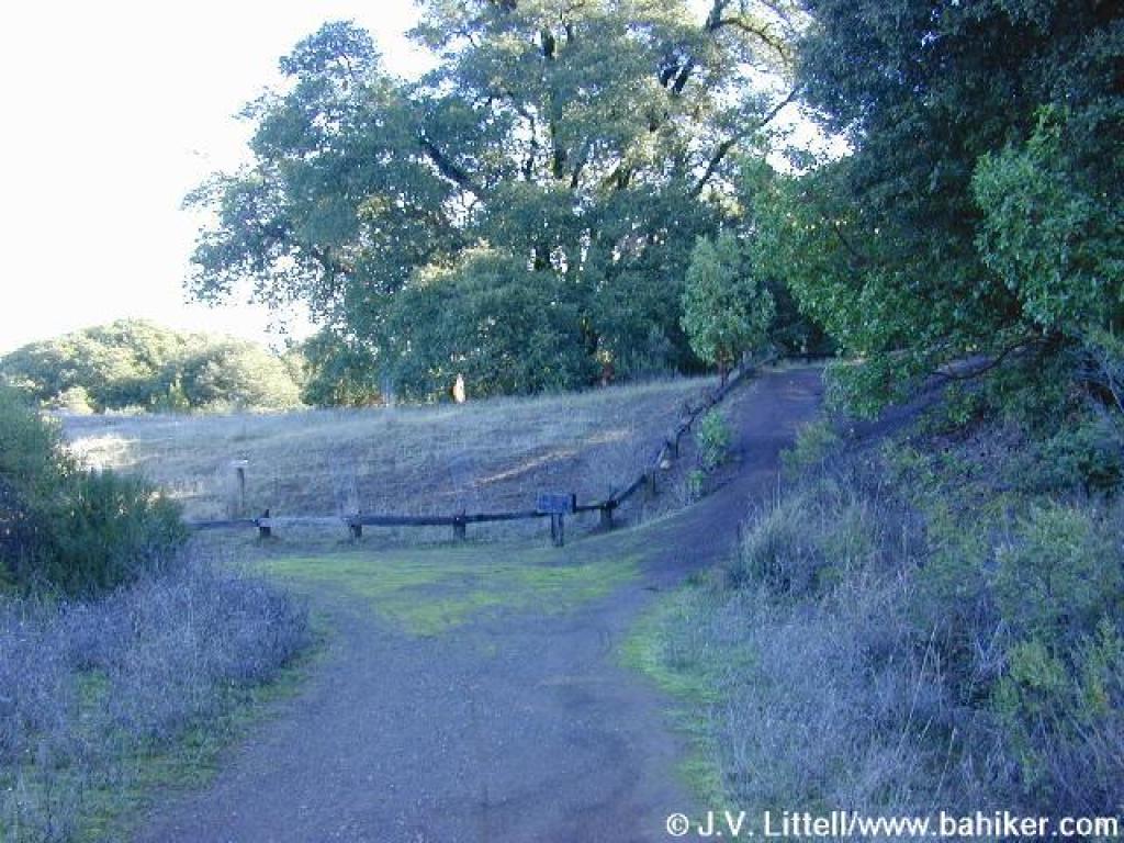 Junction |
 Descending on Meadow Trail |
||||
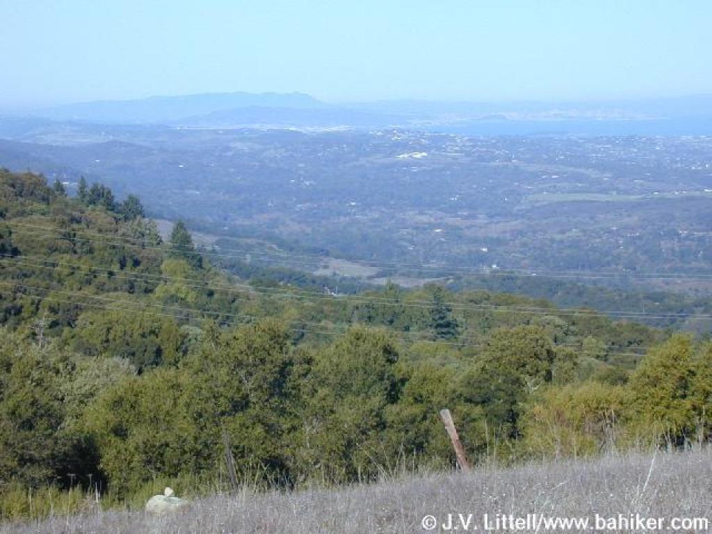 View north to San Francisco and Mount Tamalpais |
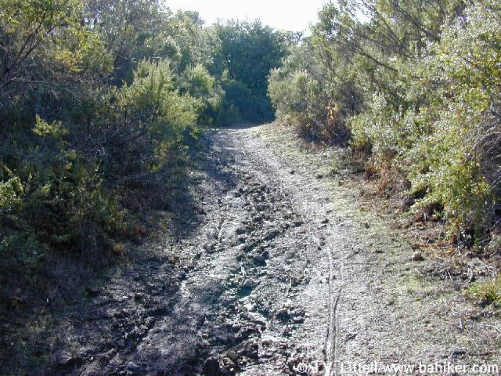
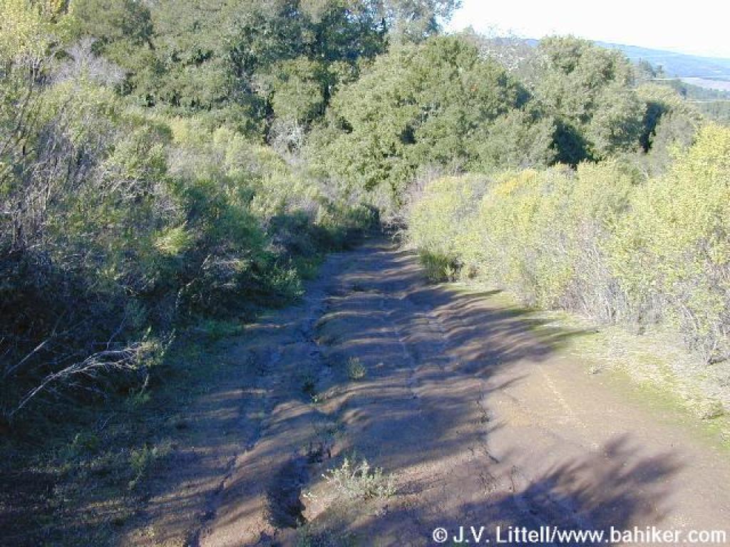 Steep and rutted section |
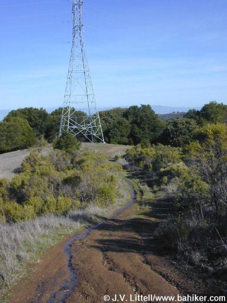 Passing power tower |
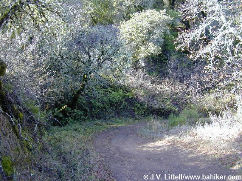
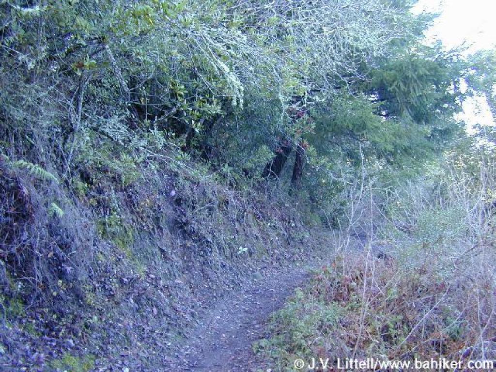
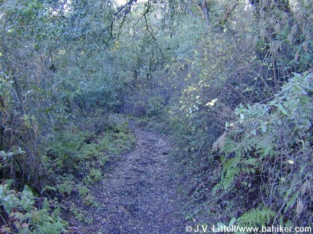
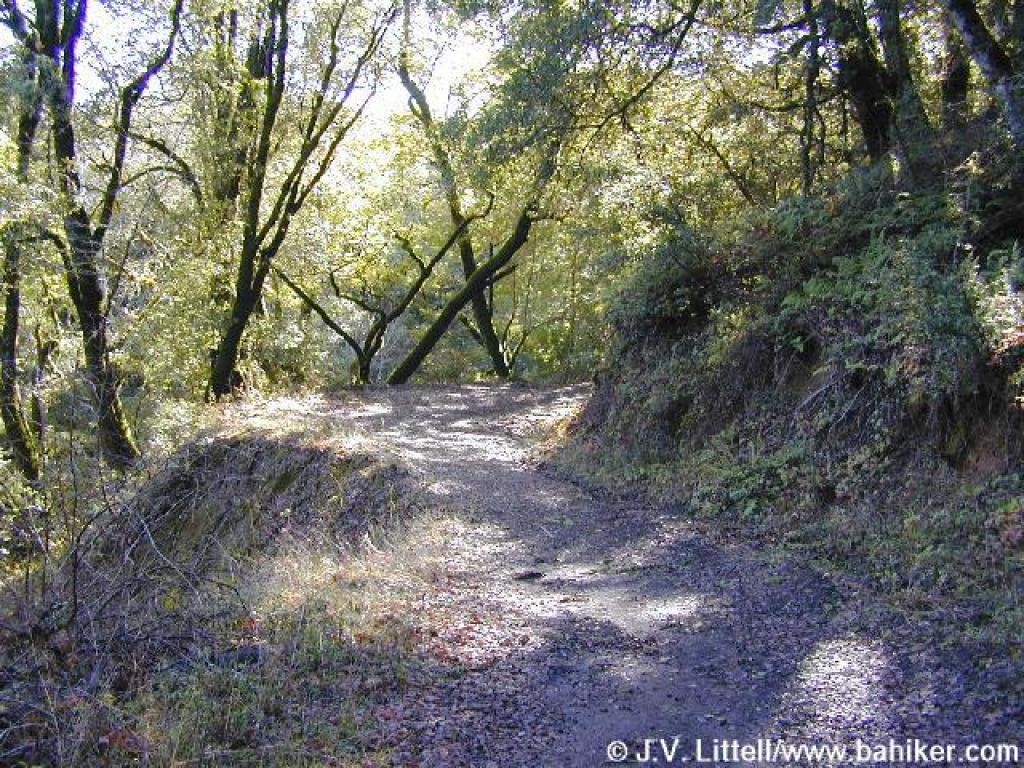
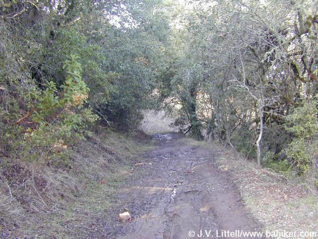
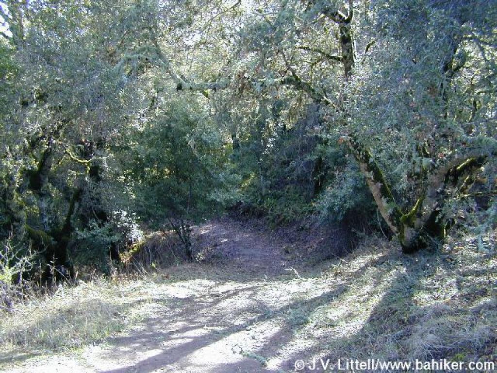 Wooded stretch |
||||
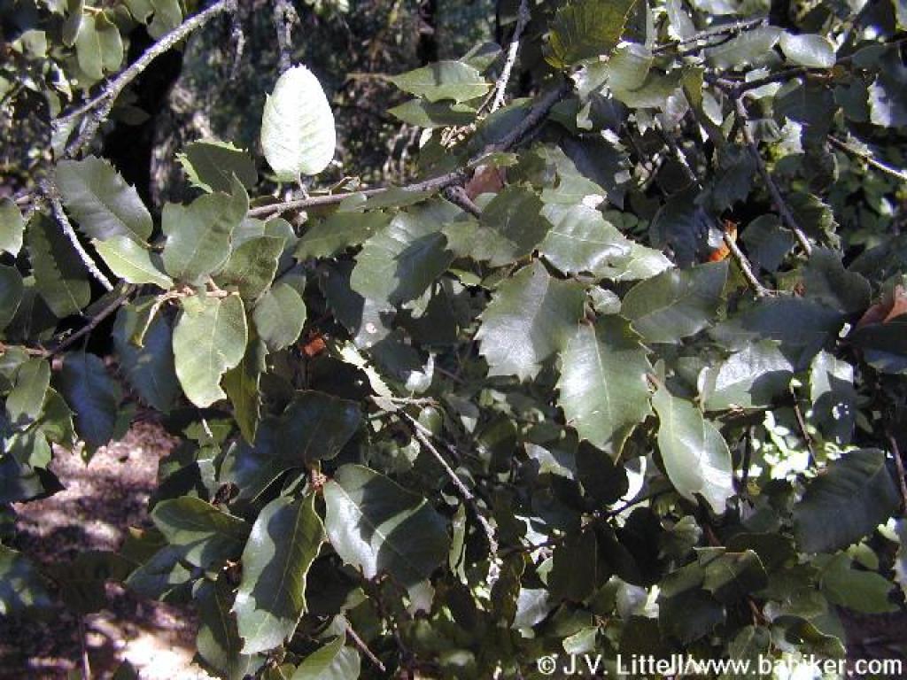
 Coast live oak |
 Gate and MROSD boundary |
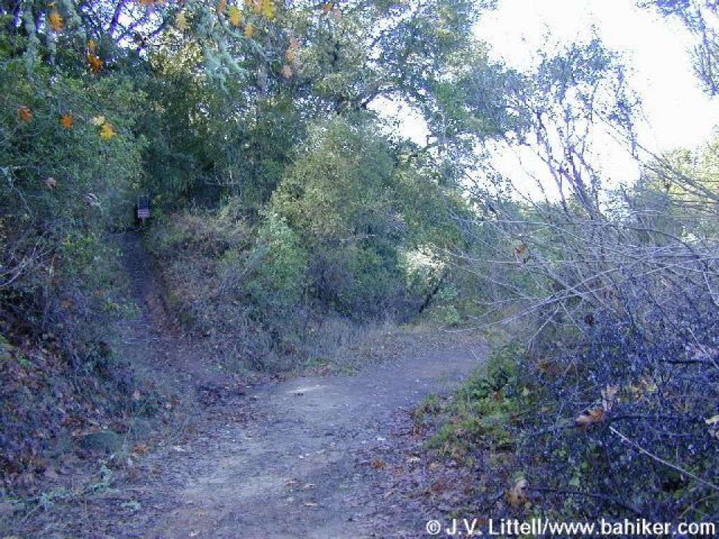
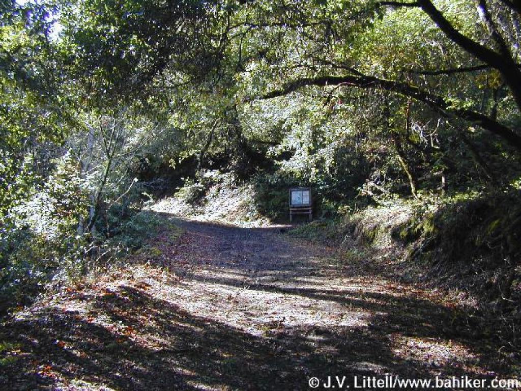
 Junction |
 Alpine Road |
||||
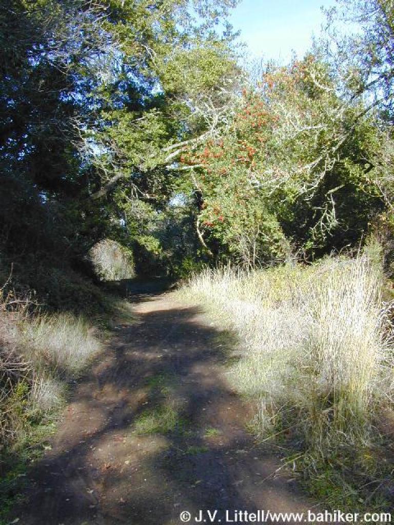 Toyon on side of trail |
 Junction with Crazy Pete's Road |
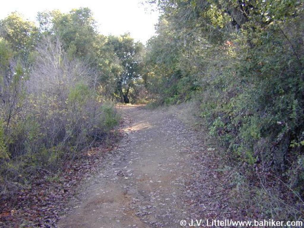
 Crazy Pete's Road |
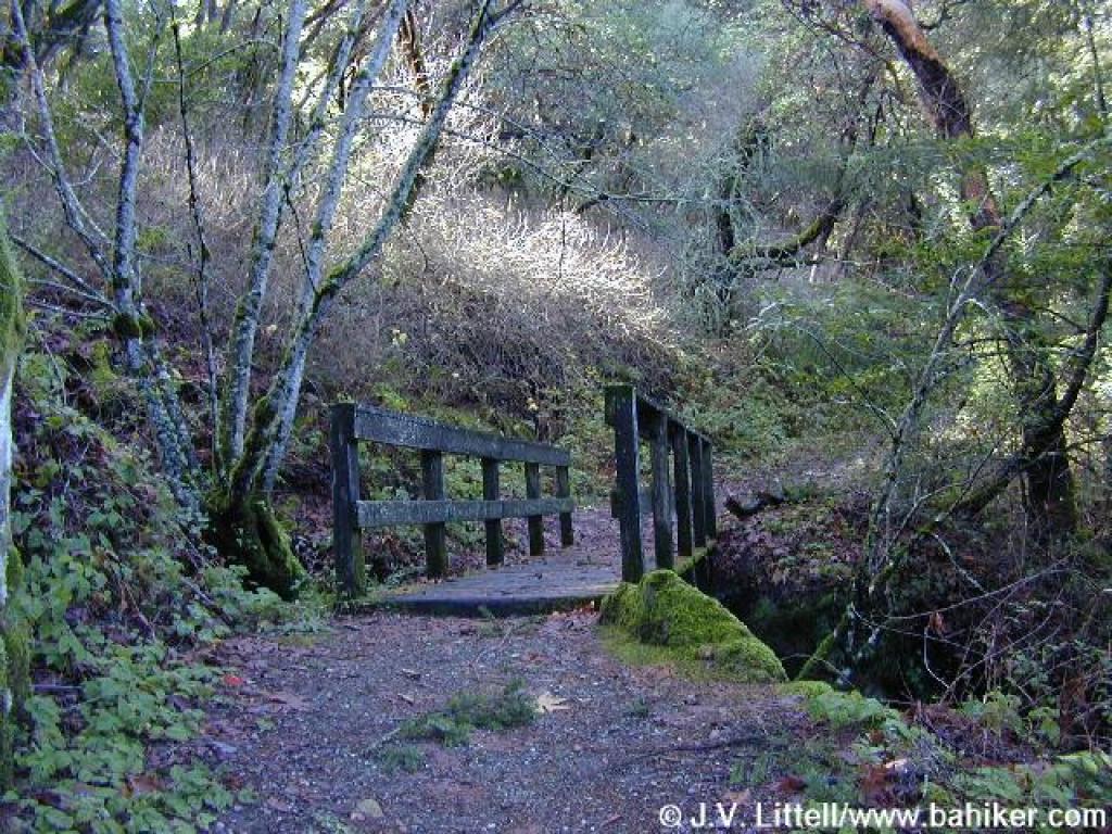 Bridge |
||||
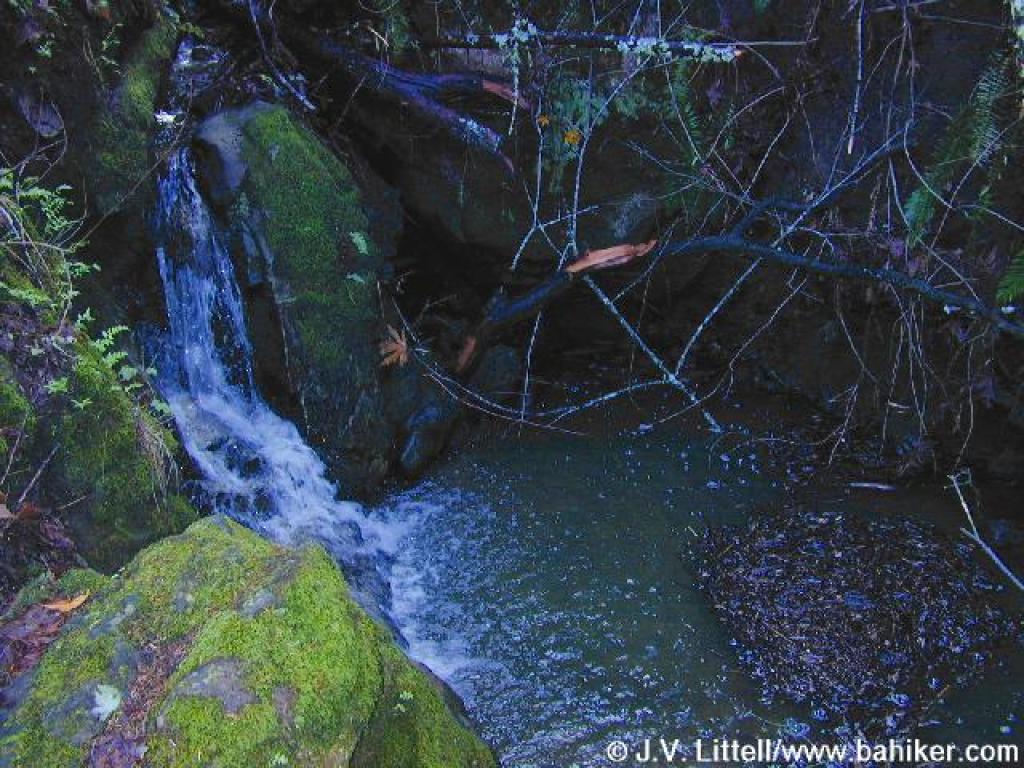 Waterfall |
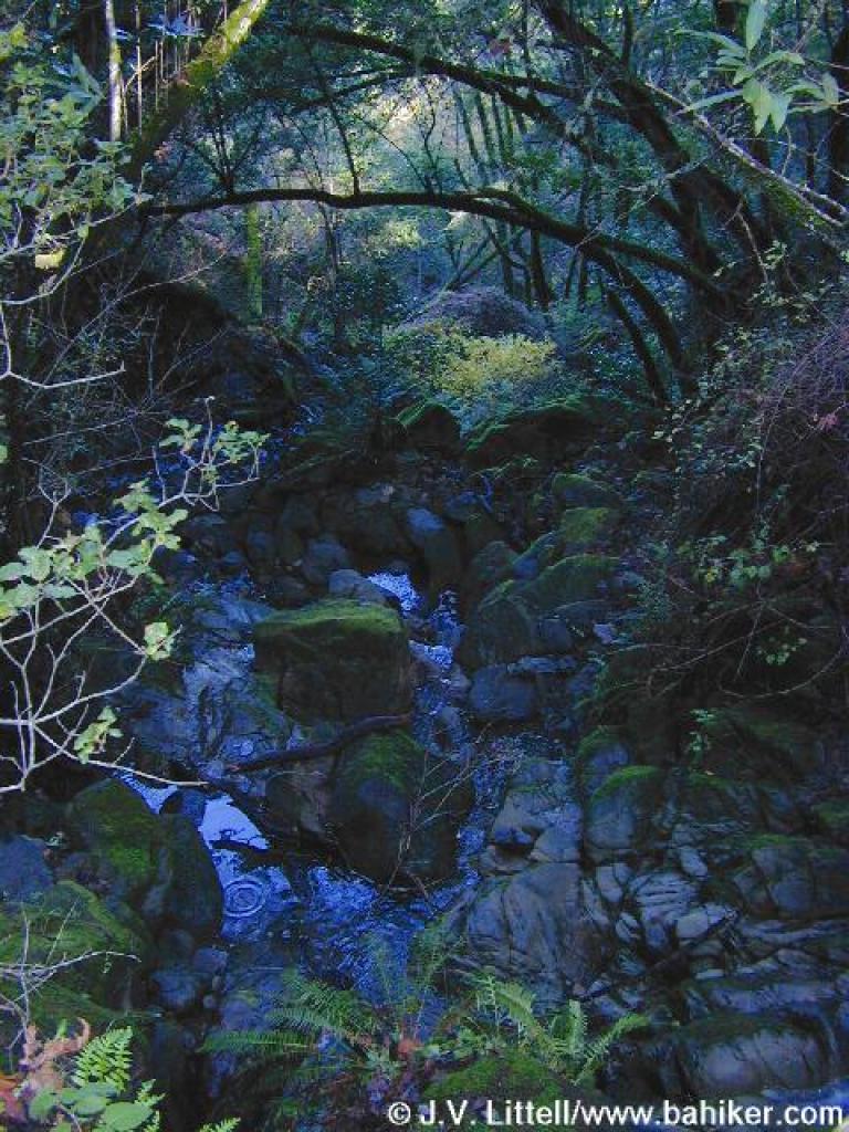 Water flowing east |
 Returning on Crazy Pete's Road |
 Back on Alpine Road |
||||
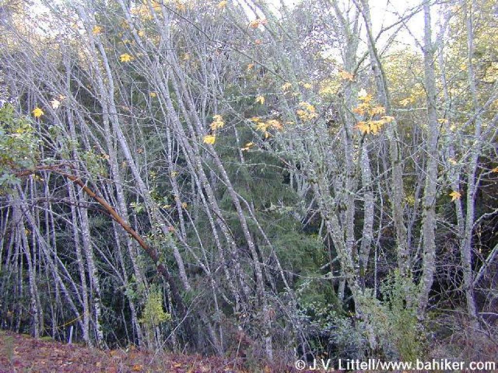 Small stand of young maples |
 Alpine Road, with a huge slide on the left |
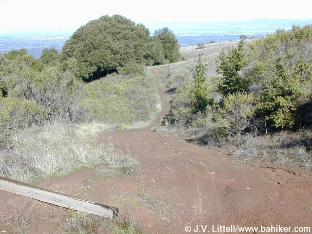
 Approaching junction |
 Meadow Trail |
||||
 Canyon live oak |
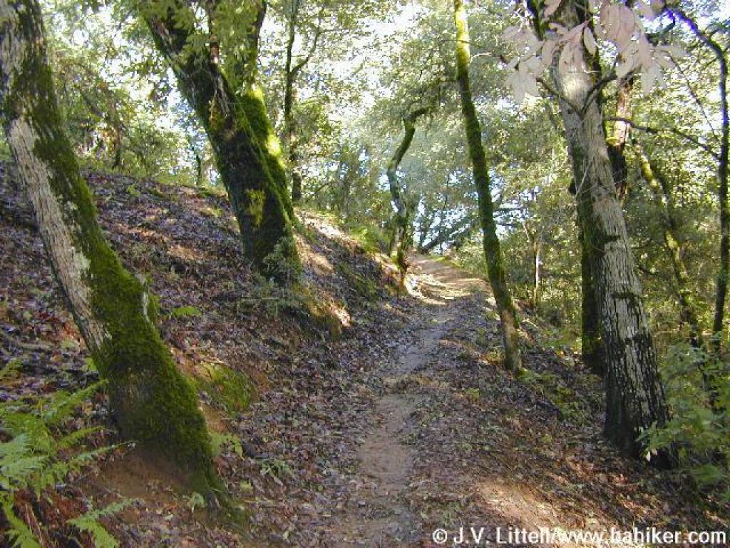
 Ascending through grassland |
 Muddy |
 Through the woods |
||||
 Junction |
Go to Bay Area Hiker Coal Creek page Go to Bay Area Hiker Home page |
||||||