| Photos
from a July 2000 hike at Point Pinole Regional Shoreline (click on any image for a larger view) |
||||||||
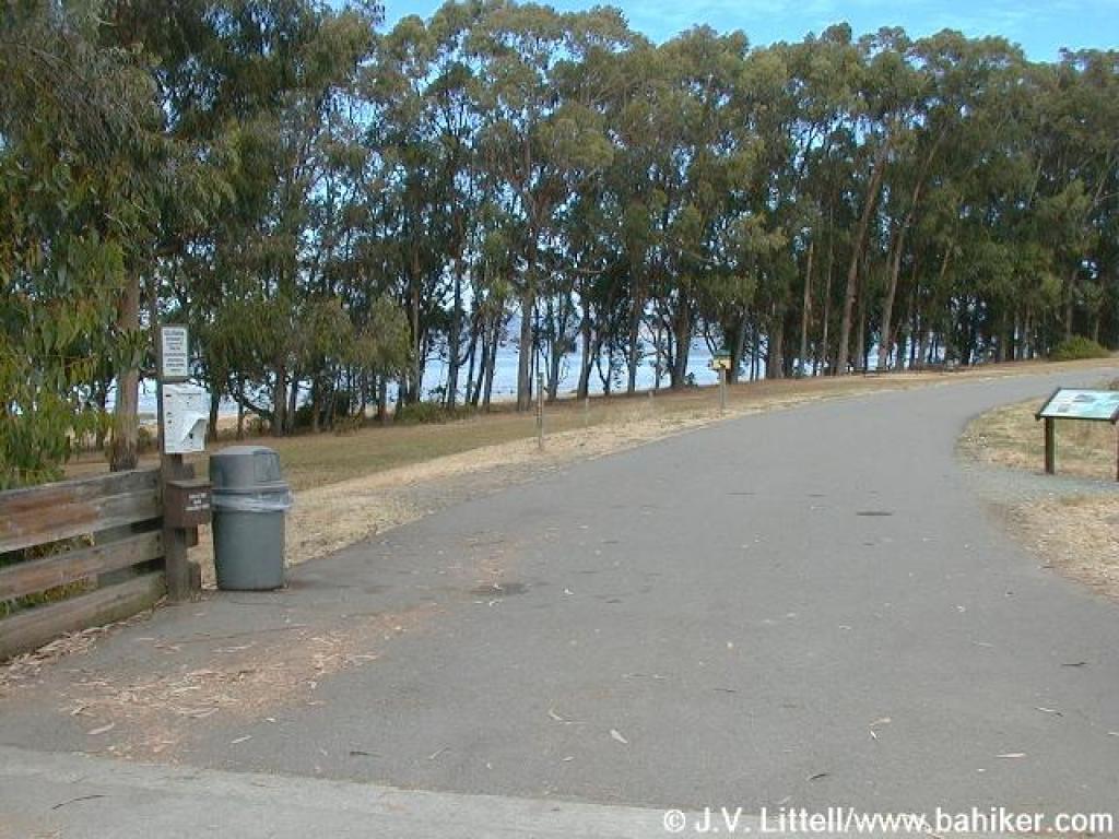
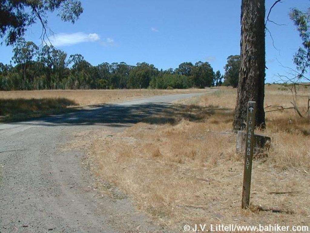
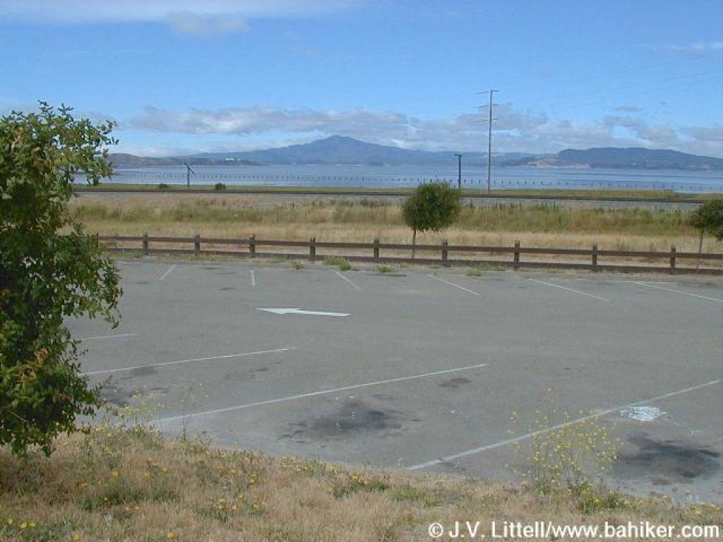 Trailhead |
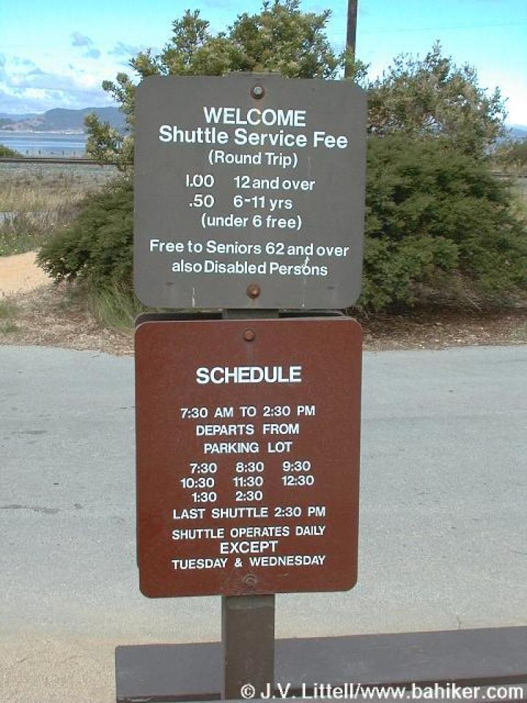 Shuttle schedule |
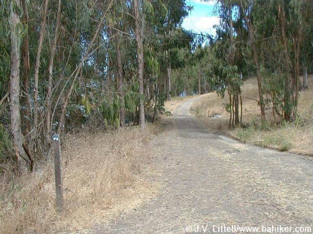
 Historical marker |
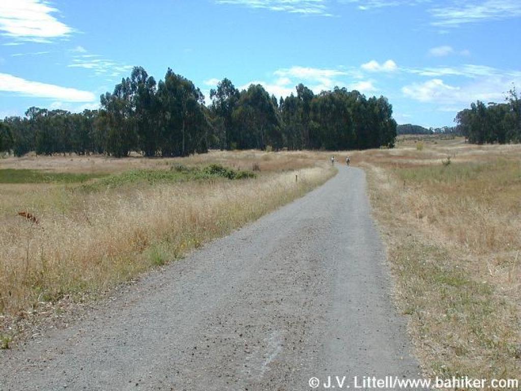
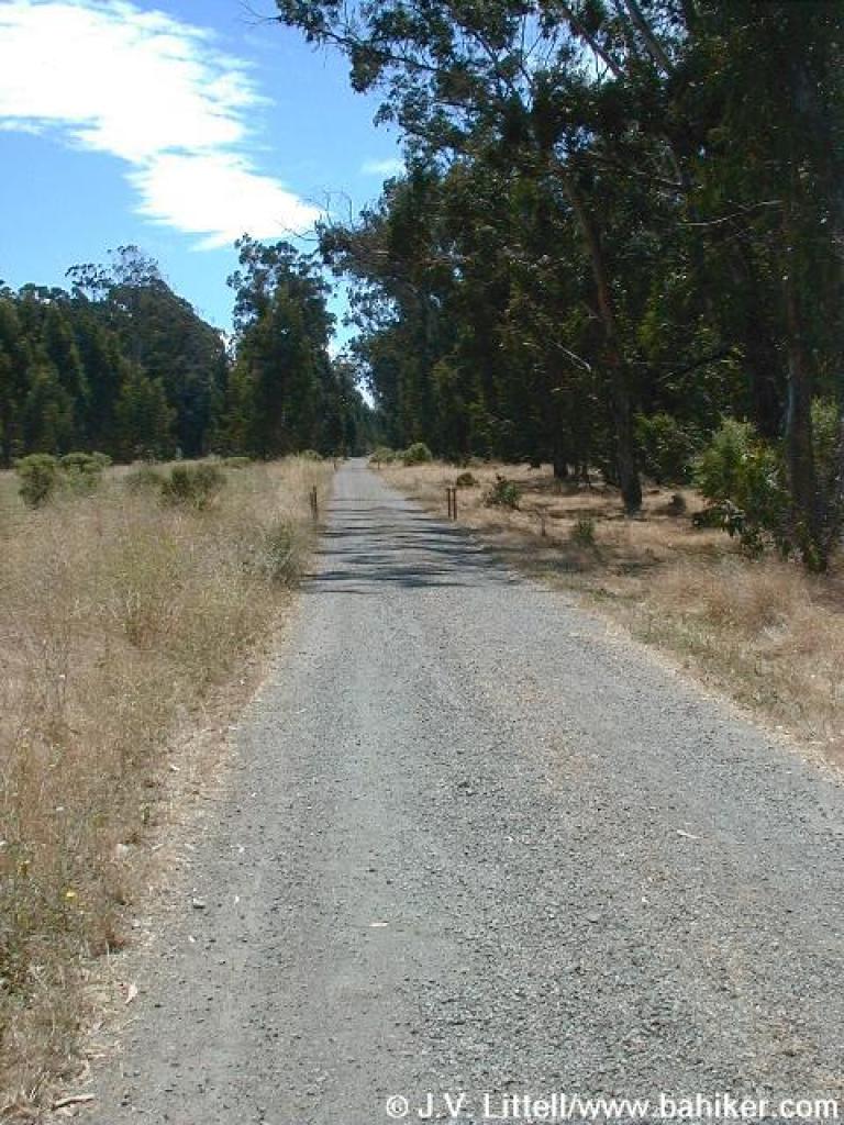
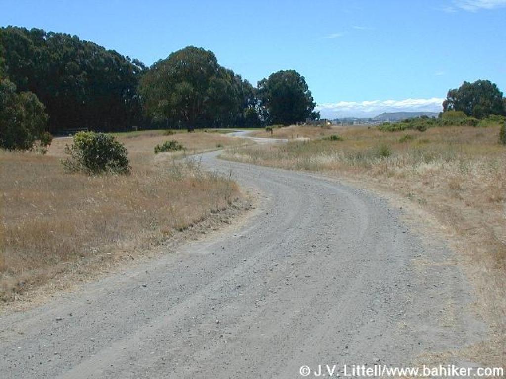
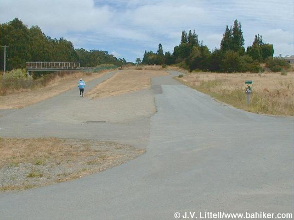 Starting out |
|||||
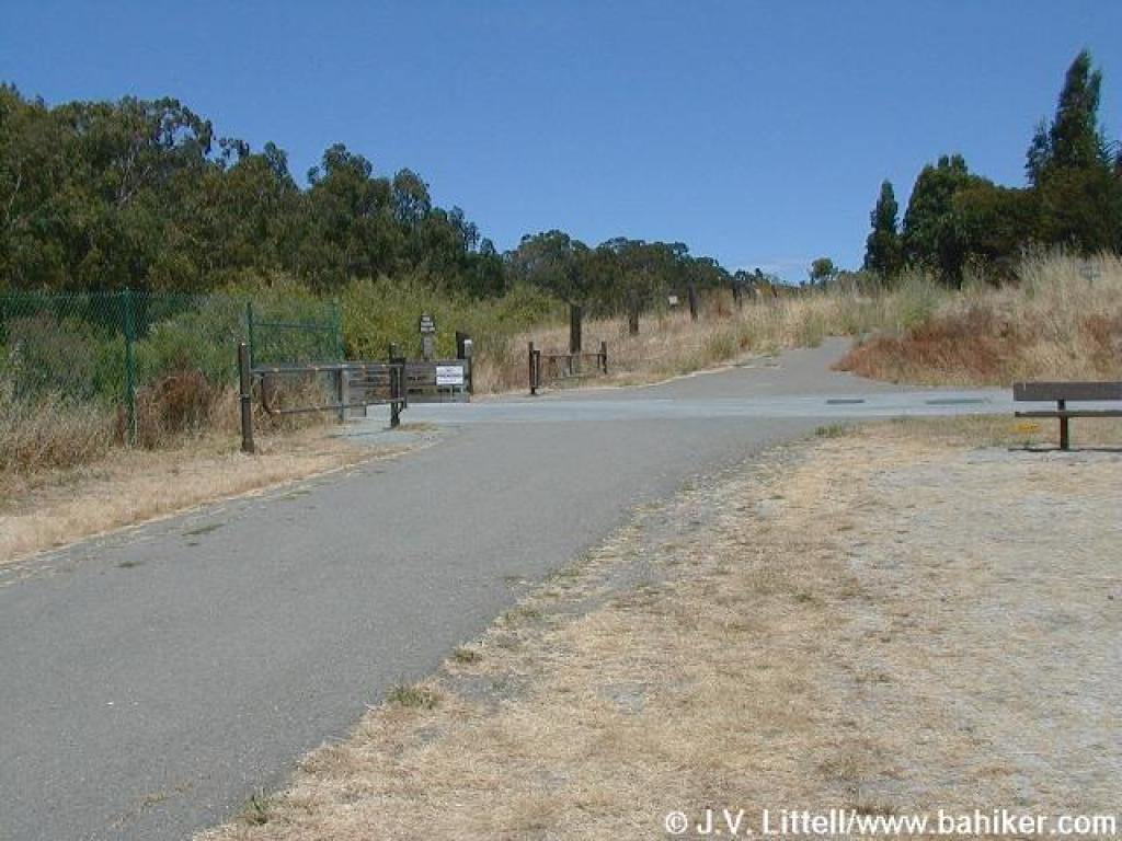 Approaching the bridge |
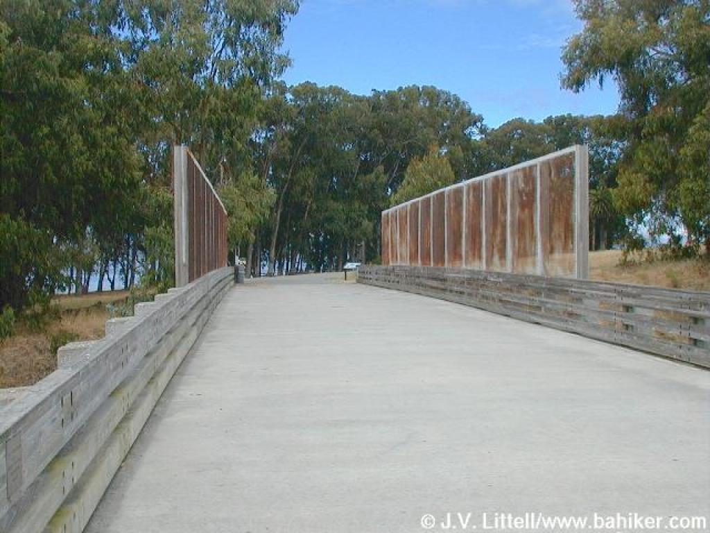 Crossing the railroad tracks |
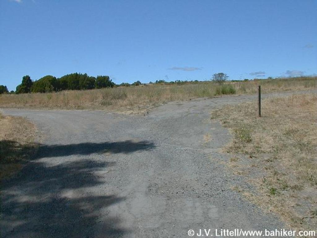
 Junction with Bay View Trail |
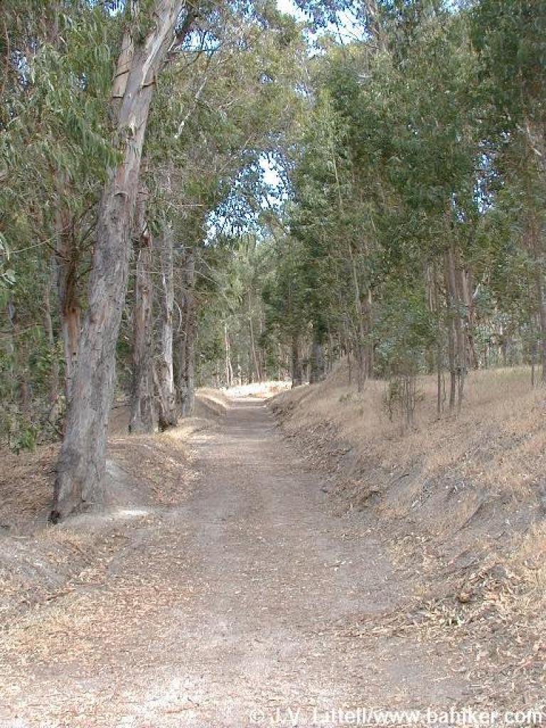
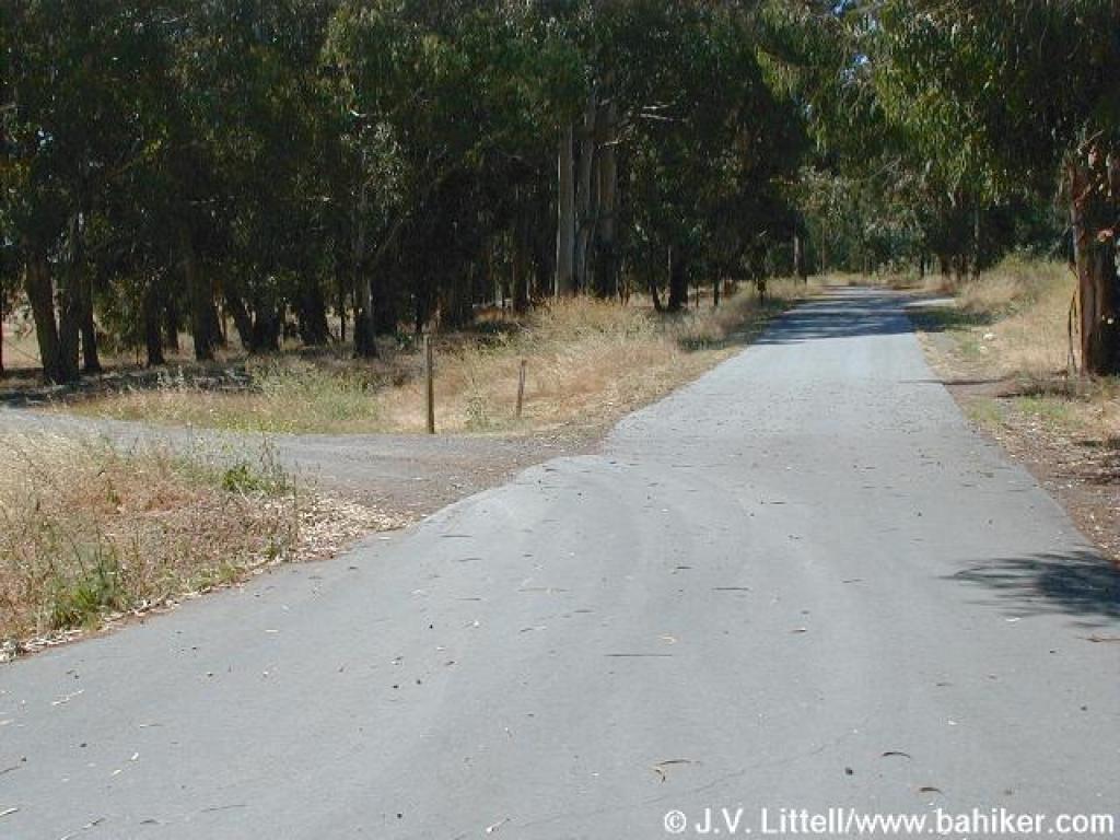
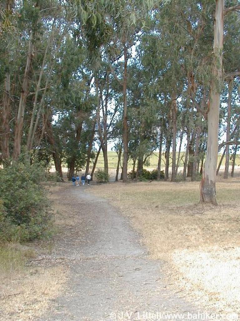 Winding through the trees |
|||||
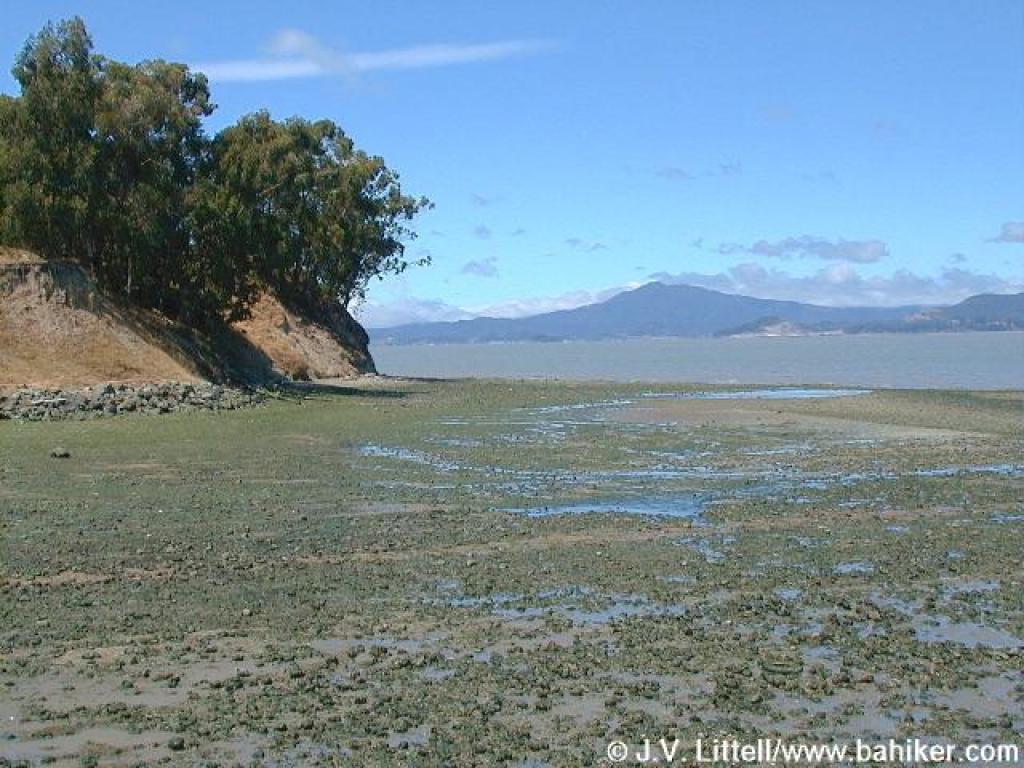
 A dramatic, and different view of Mount Tamalpais |
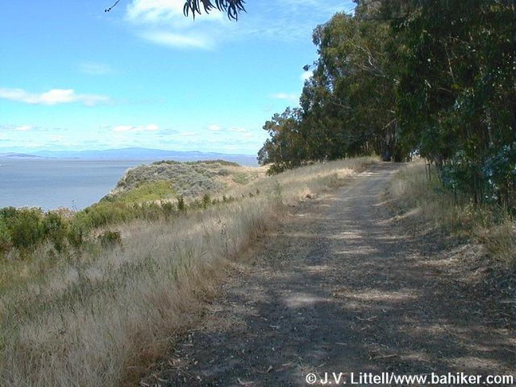
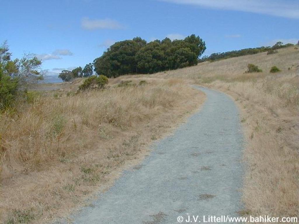 Bay View Trail |
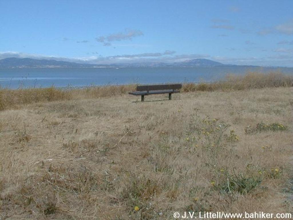 A wonderful bench for birdwatching |
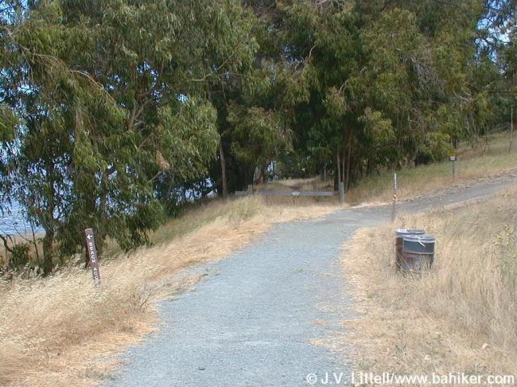 Rerouted trail; path to the beach departs to the left |
|||||
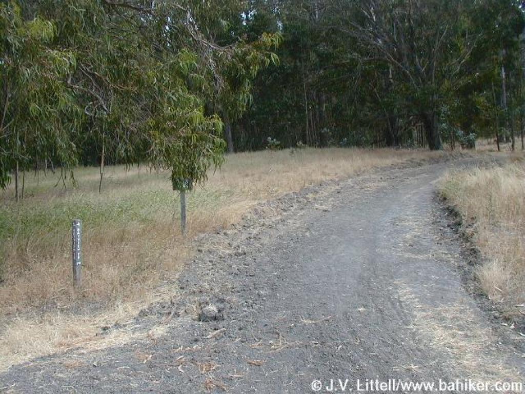 Rare uphill stretch |
 Junction with spur to Woods Trail |
 Bay View Trail |
 Small patch of California sagebrush on a bluff |
|||||
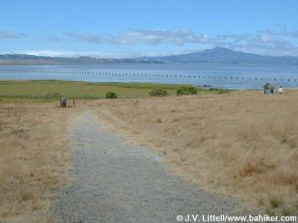
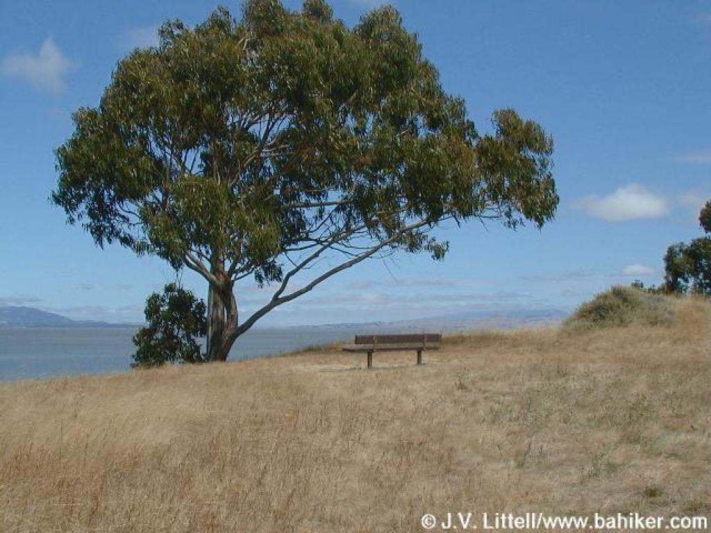 Bench with a great view west |
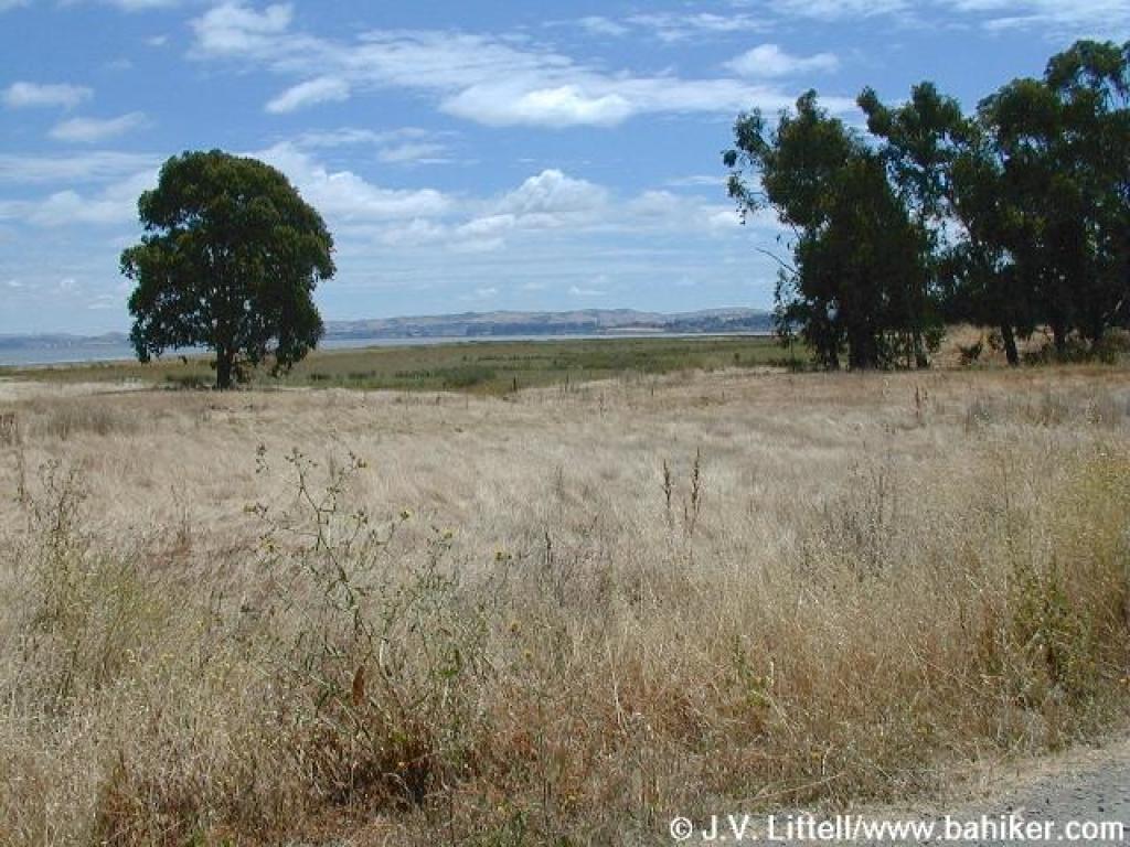
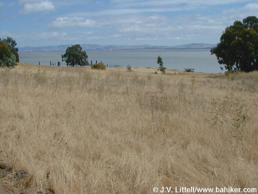 Looking north |
 End of Bay View Trail |
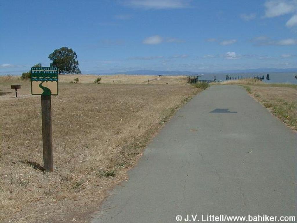 Paved trail to fishing pier |
|||||
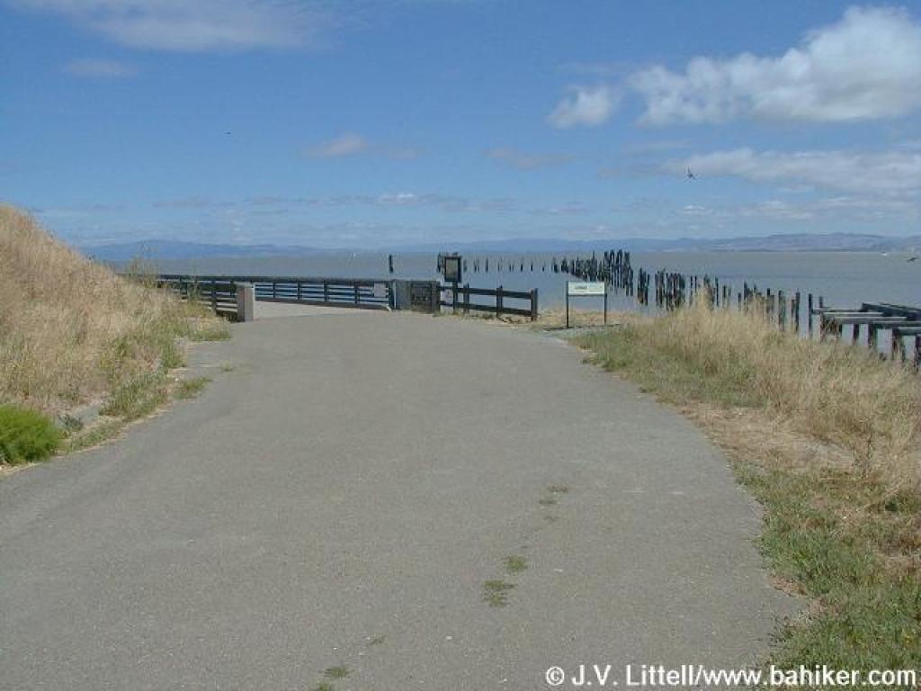 Old wharf area |
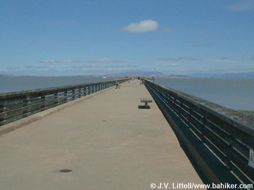 Fishing pier |
 From the pier, looking west |
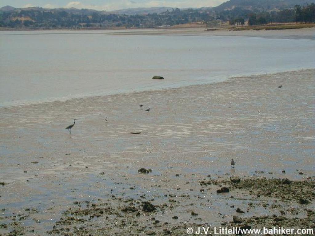 Birds in the mudflats |
|||||
 Junction with Marsh Trail |
 Marsh Trail |
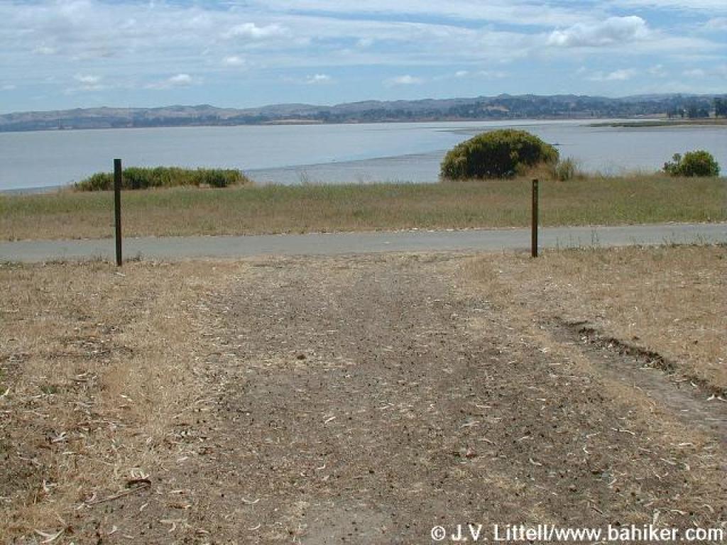
 Looking northeast |
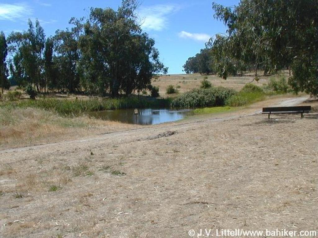 Fresh water pond |
|||||
 Junction with Owl Alley |
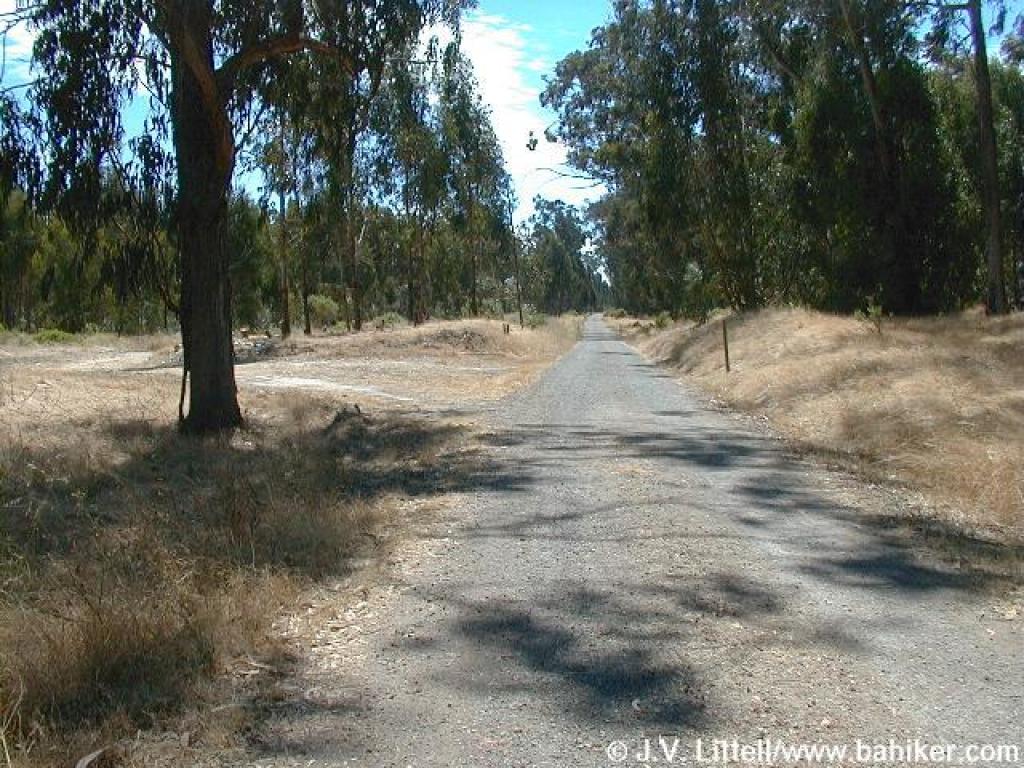
 Owl Alley |
 Junction with Cook's Point Trail |
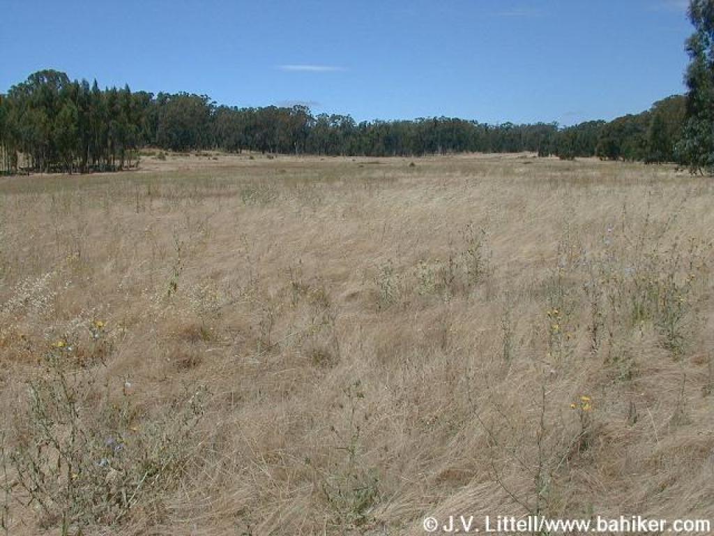 The pretty meadow |
|||||
 Junction with spur to Point Pinole Road |
 Cook's Point Trail |
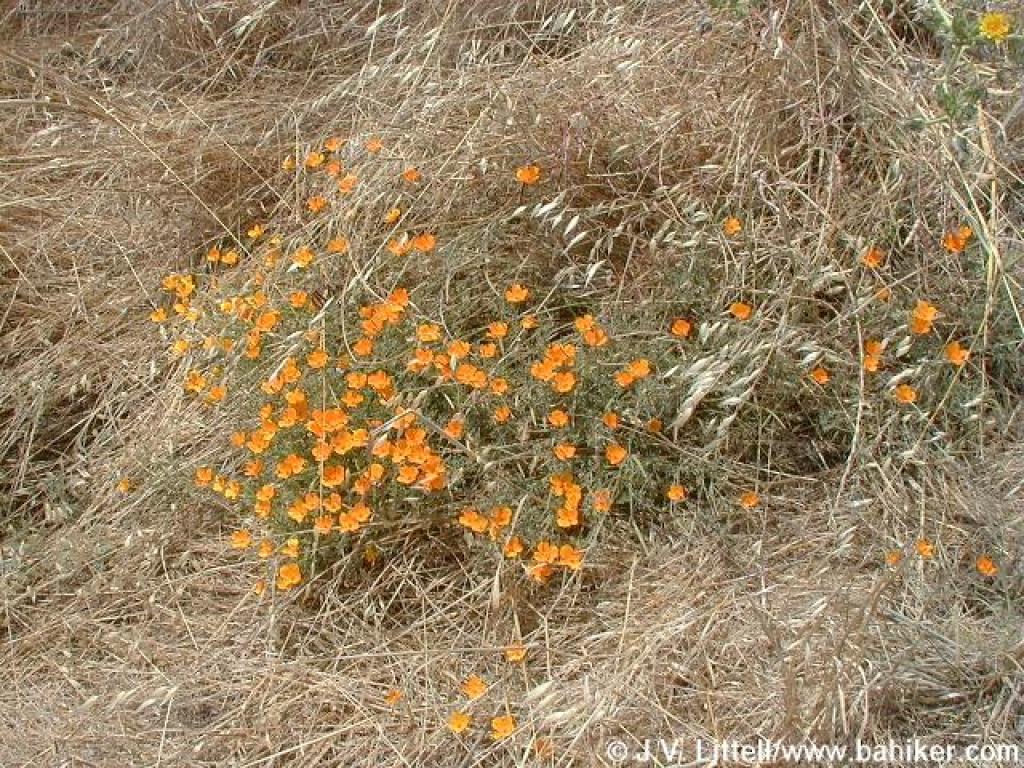 A late bunch of poppies |
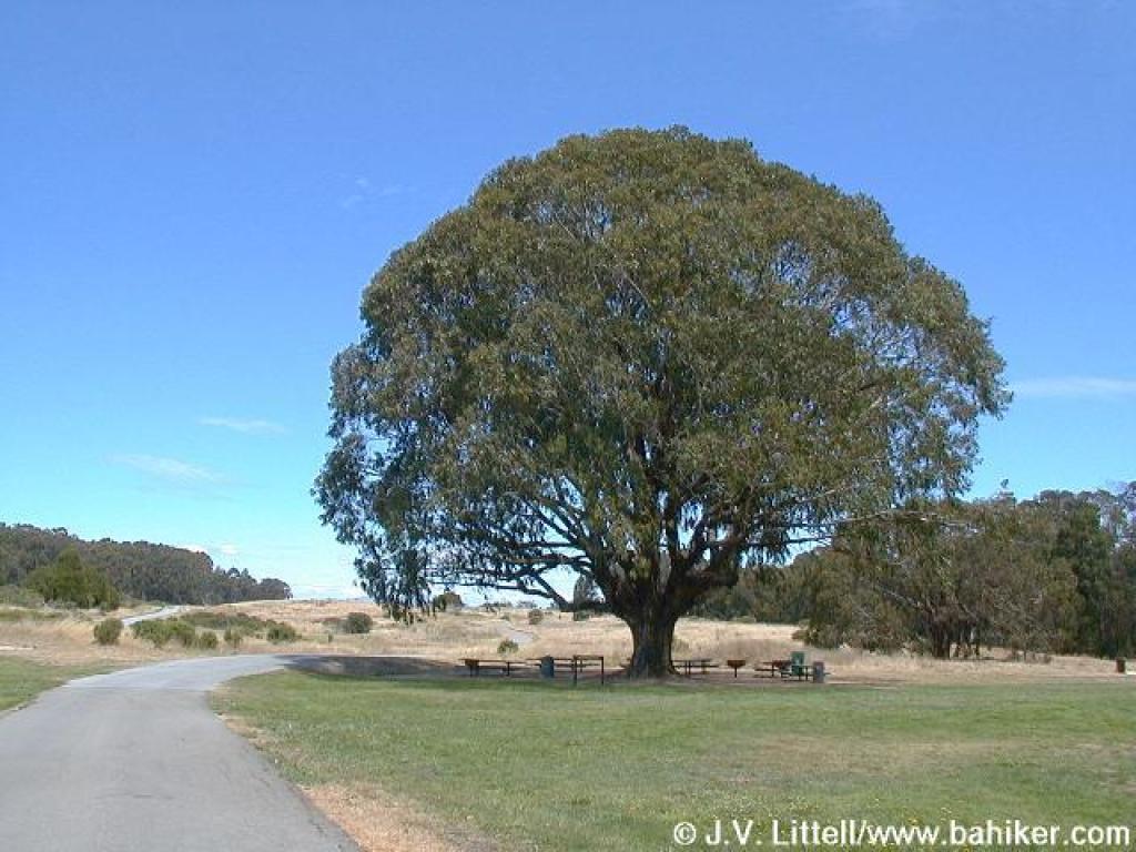 Looking back to a huge eucalyptus tree near the picnic areas |
|||||
Go to Bay Area Hiker Point Pinole Shoreline page Go to Bay Area Hiker Home Page |
||||||||