| Photos
from a January 2002 hike at Lucas Valley Open Space Preserve (click on any image for a larger view) |
|||||||
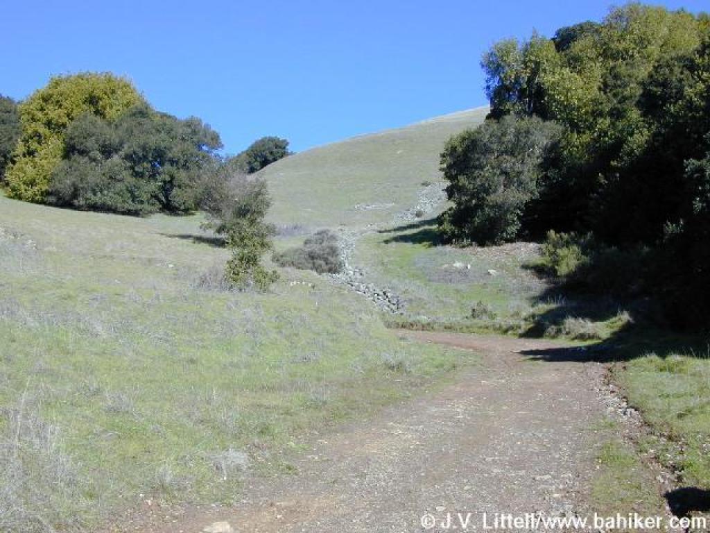
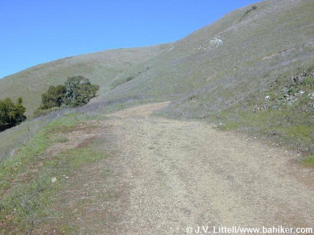
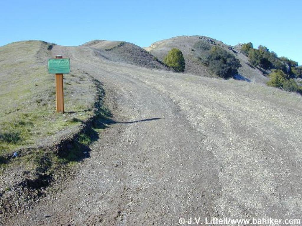
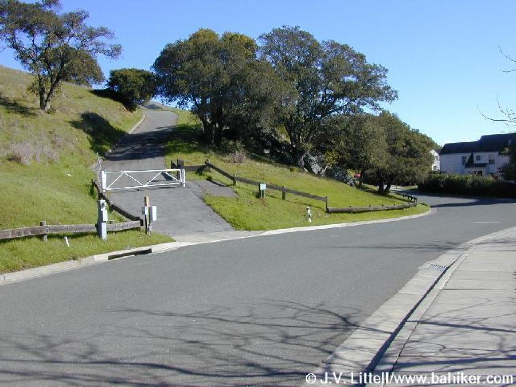 Trailhead |
 Luiz Fire Road |
 Trail is visible uphill ahead |
 Trail turns to dirt |
||||
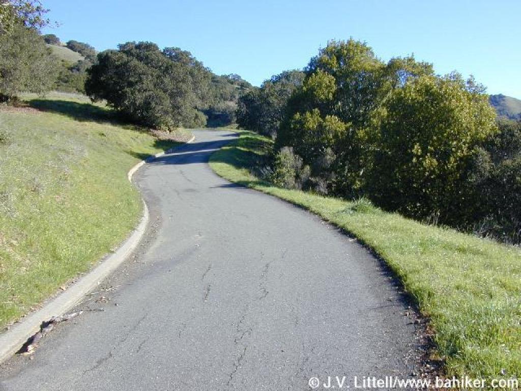
 Curve |
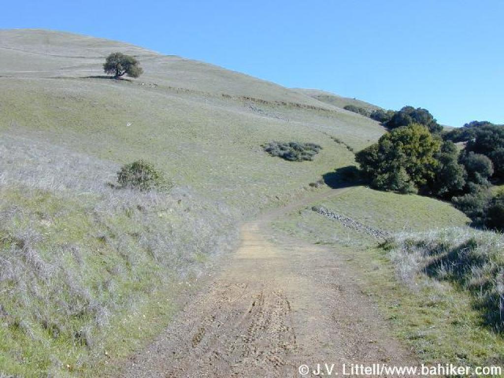 Luiz Fire Road |
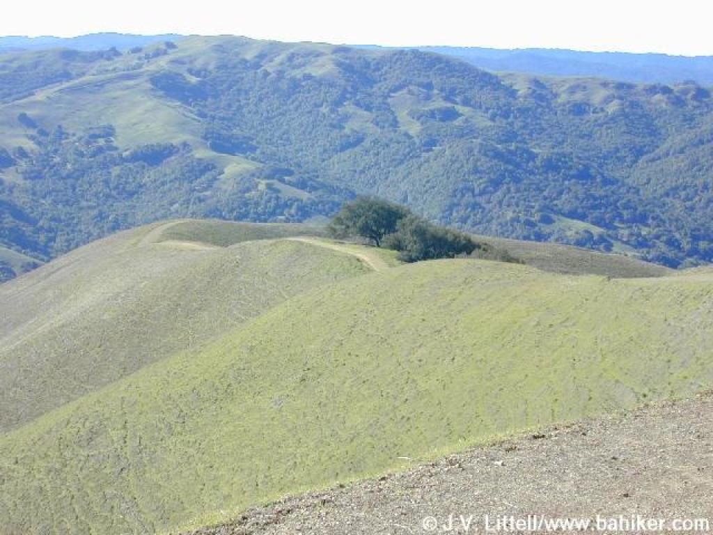
 A coast live oak on the side of the trail |
 Sharp ascent |
||||
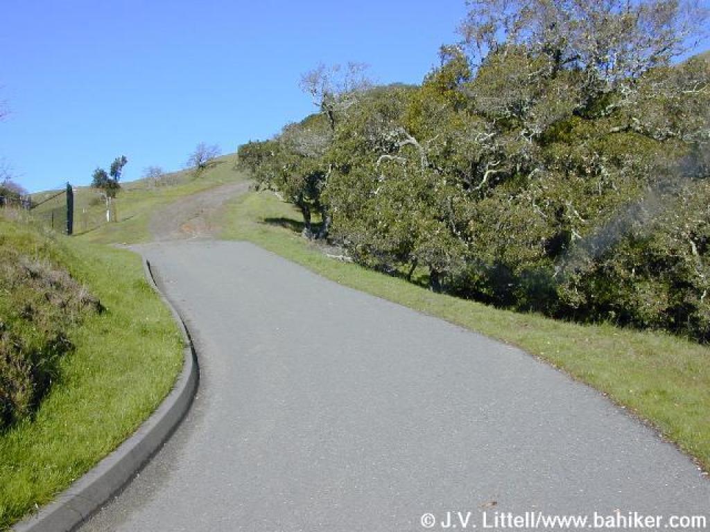
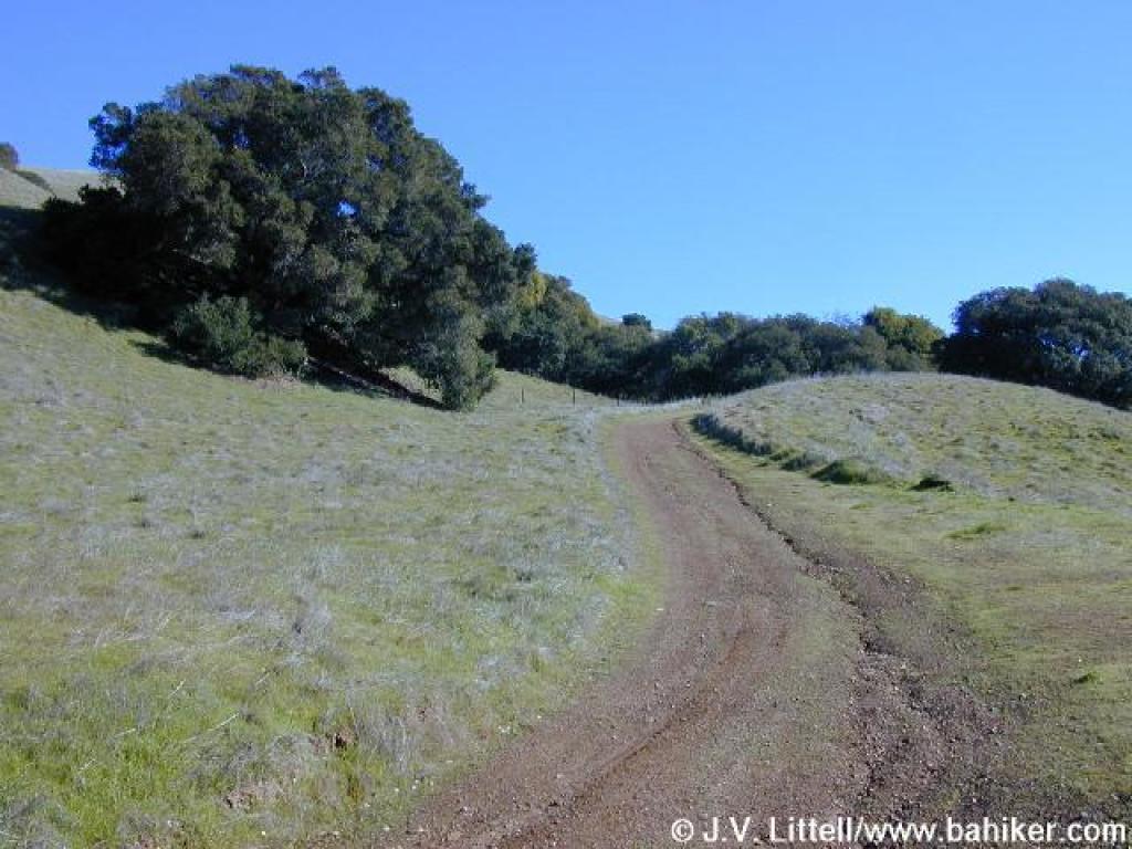
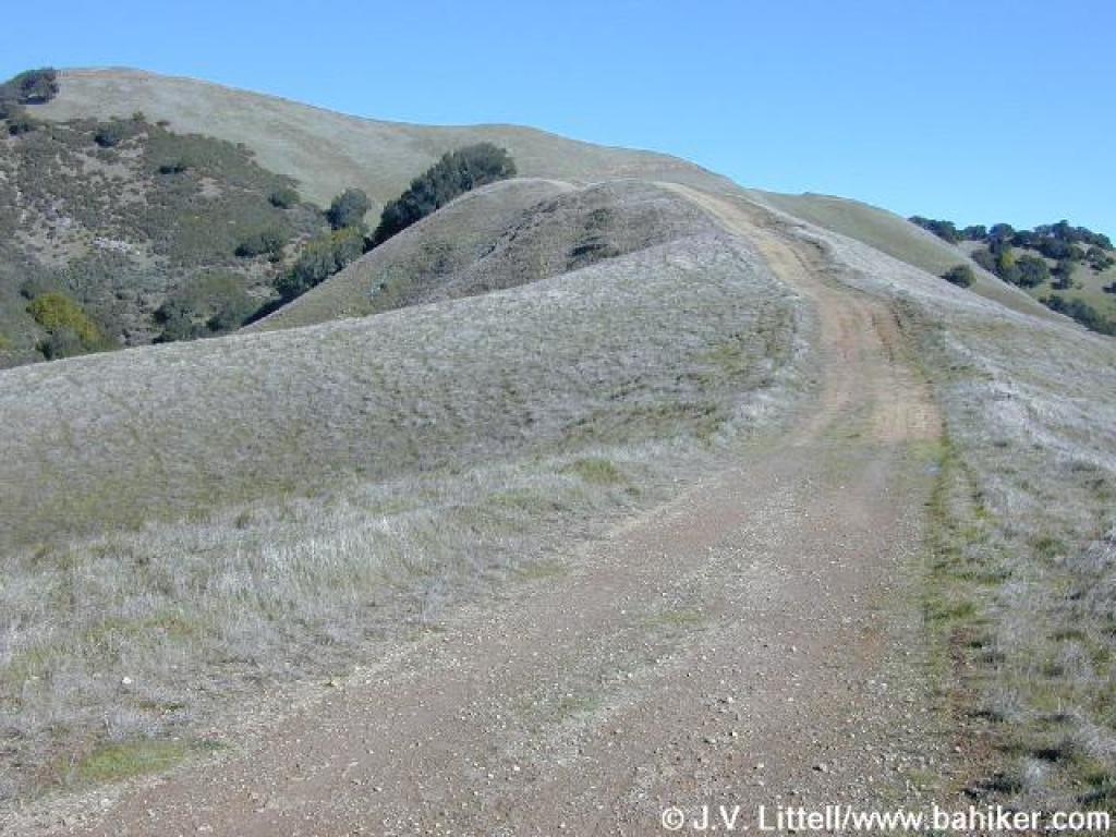
 Trail curves left and maintains a steep pace |
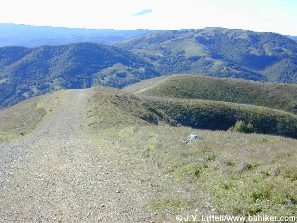
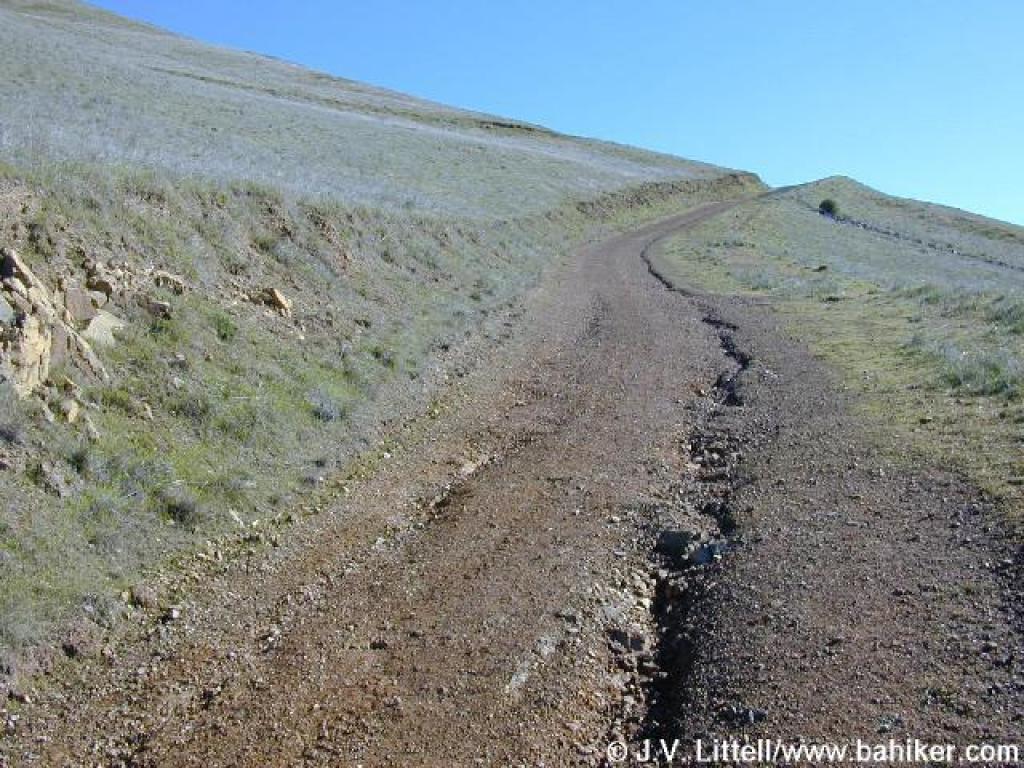 Trail slices through grassland |
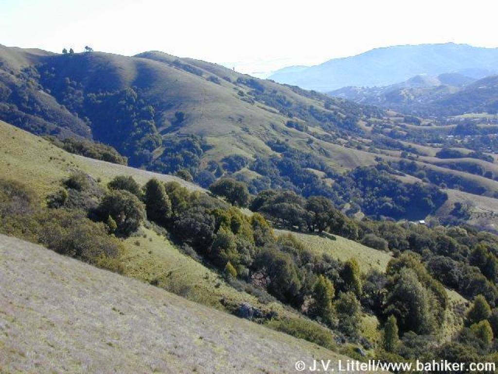 View east |
 Constant ascent |
||||
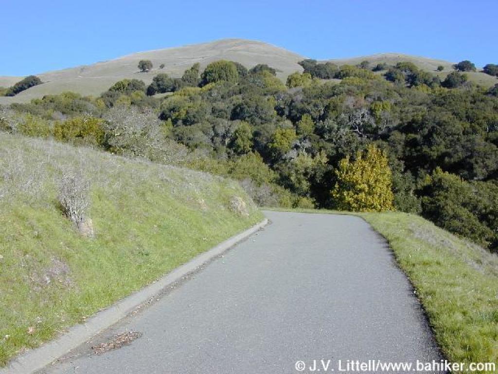
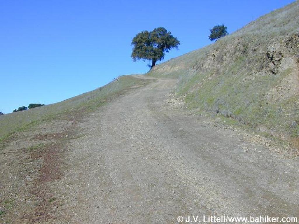
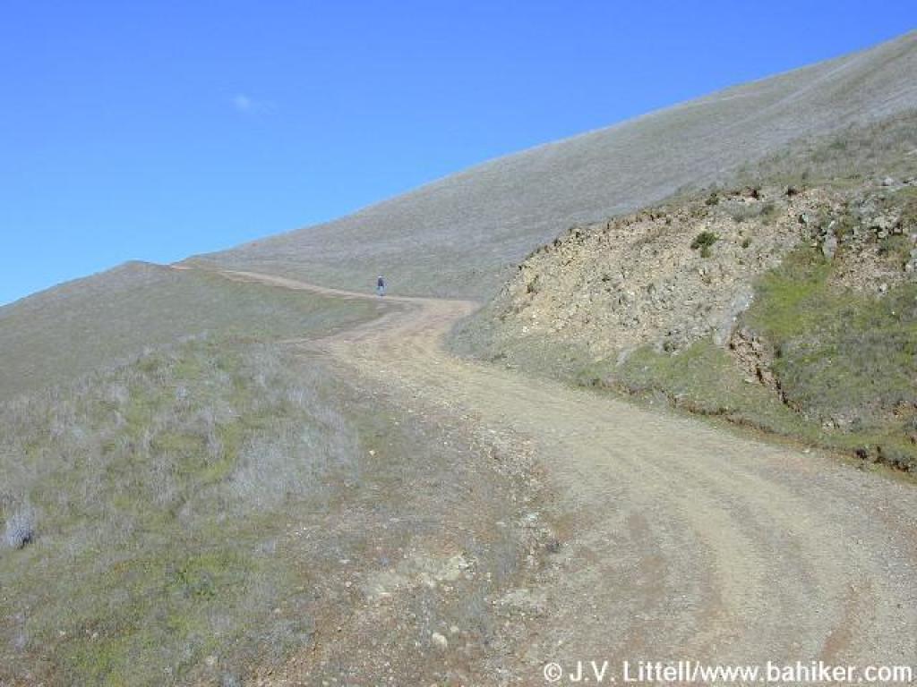
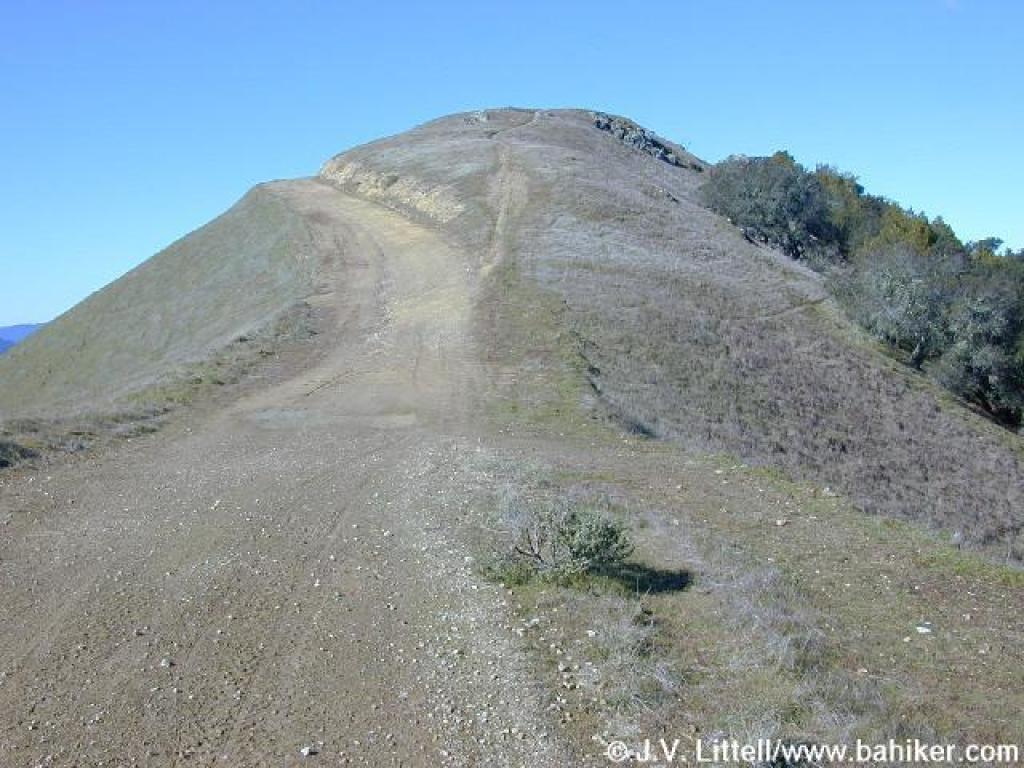
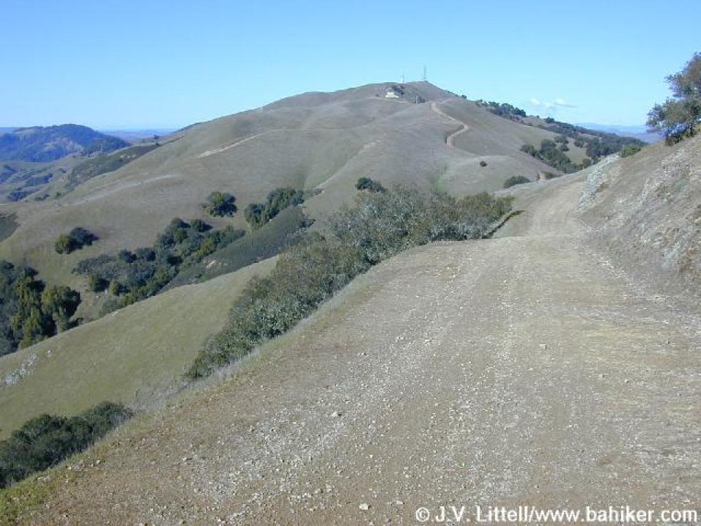
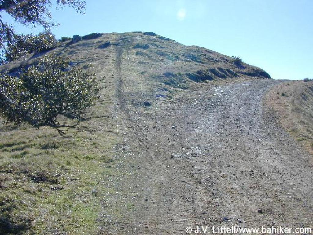
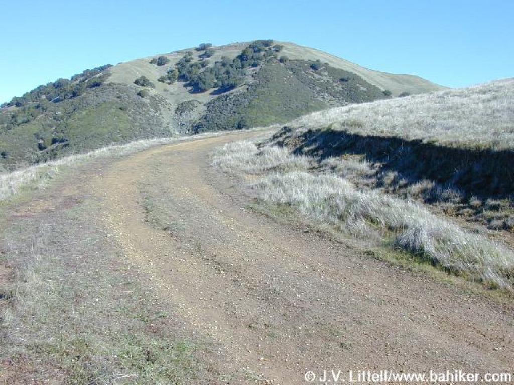 As the trail sweeps right, there's a view to the summit |
 Finally, the top is within reach |
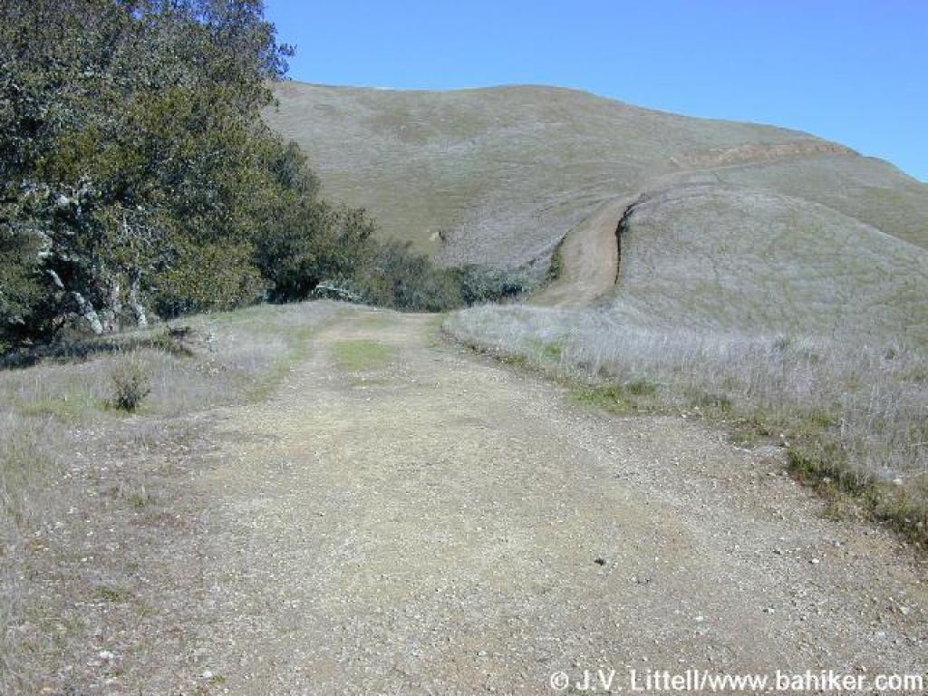 Coast live oaks, on the left, at the edge of a gulch |
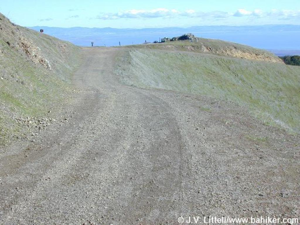 Approaching junction |
||||
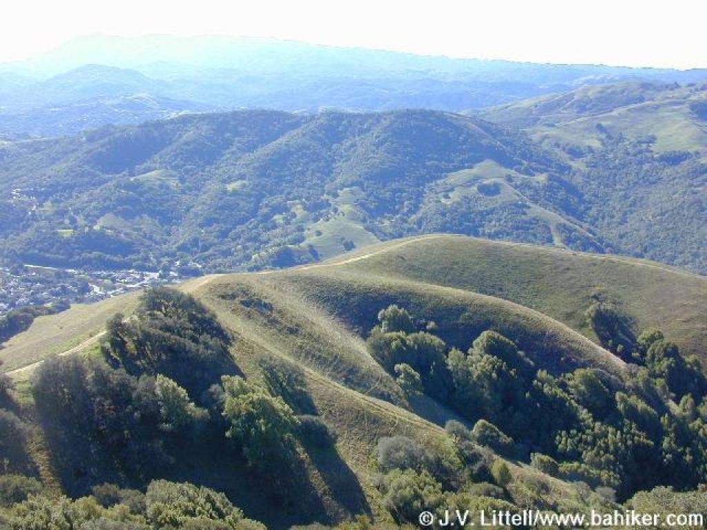
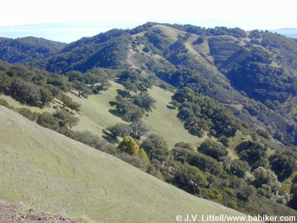 Big Rock Ridge, to the east |
 Big Rock Ridge Fire Road |
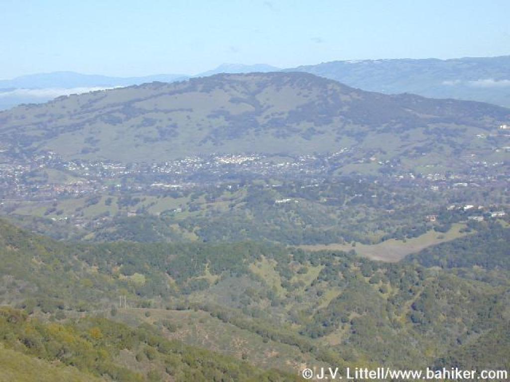 View north, all the way to Mount St. Helena |
 Uphill |
||||
 View south |
 West, the fire road continues into lands owned by H Ranch |
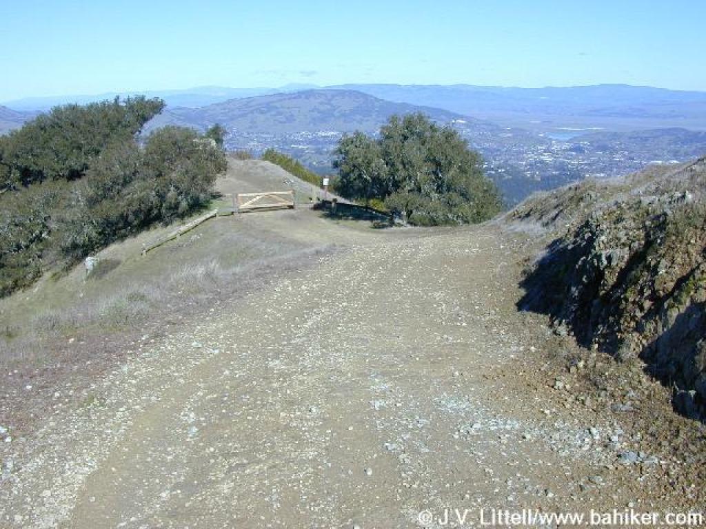 Short descent |
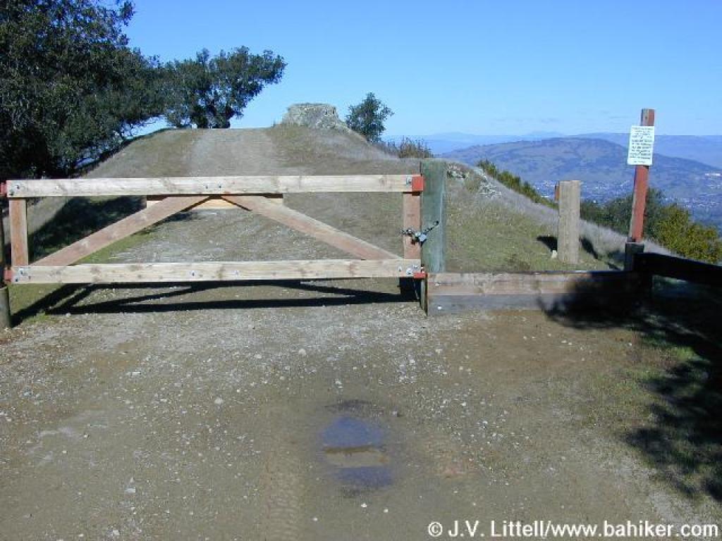 Gate into H Ranch; you can continue thanks to an easement, but this is the turnaround point for the hike |
||||
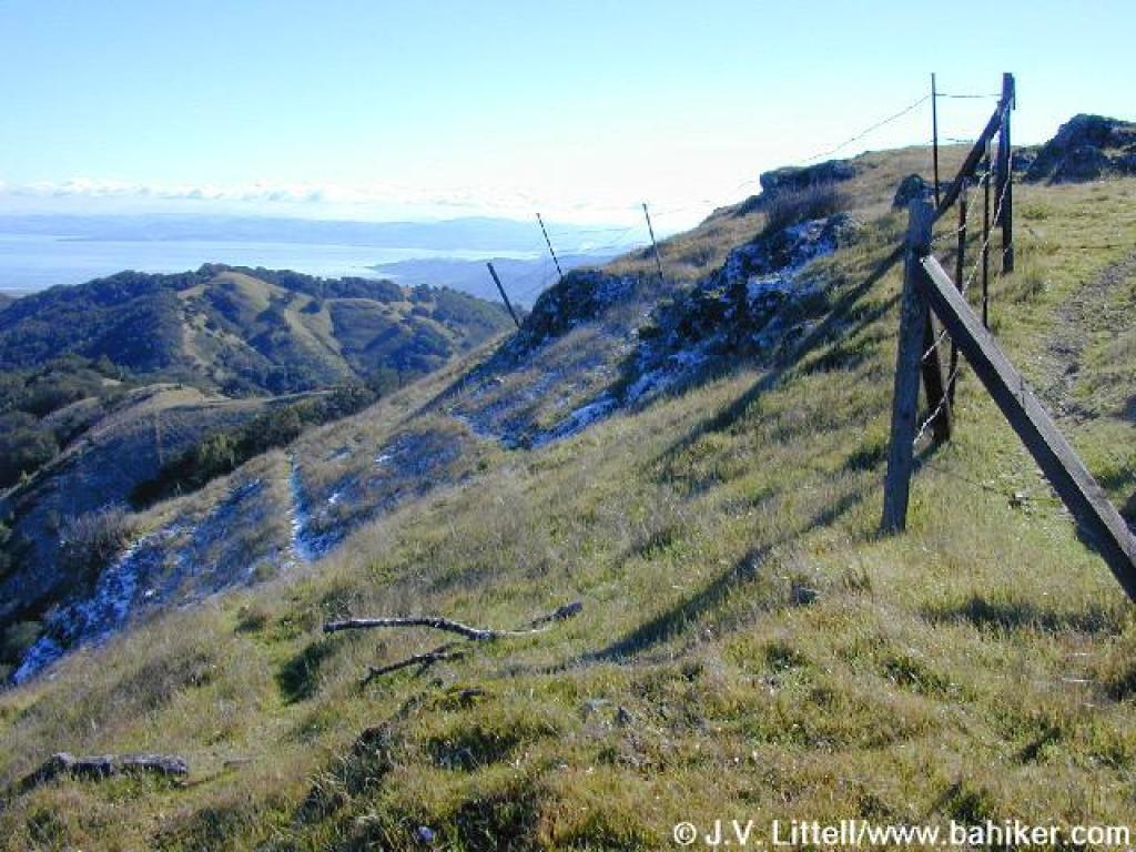
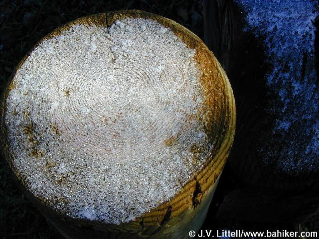 Snow on a fence post |
 Head back uphill on the path to the left |
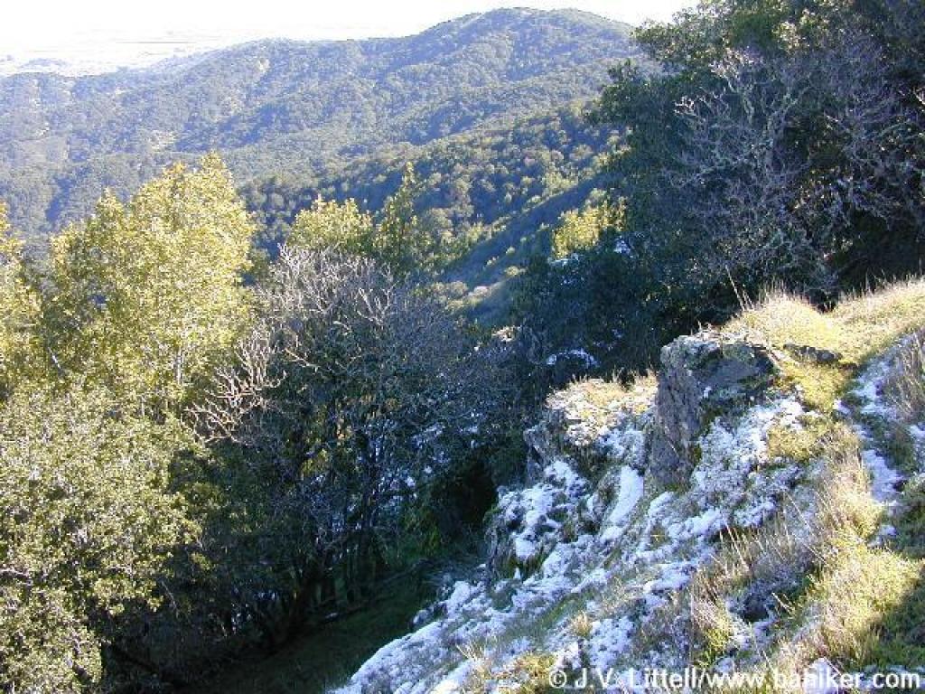 Snow on the north slope |
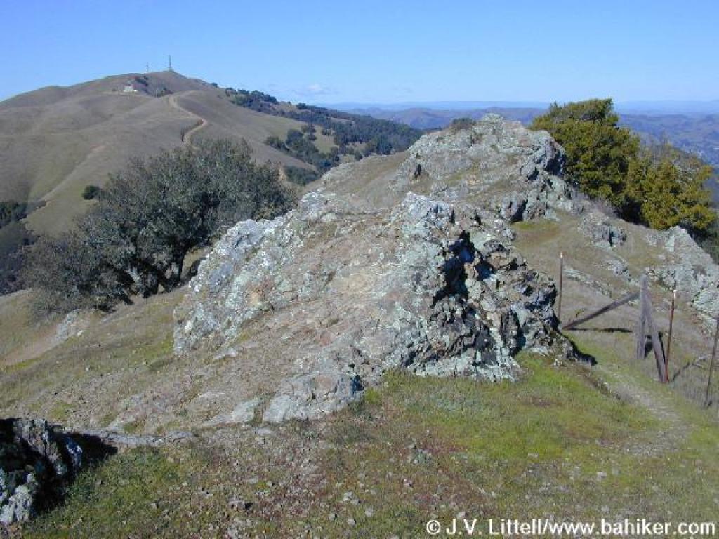
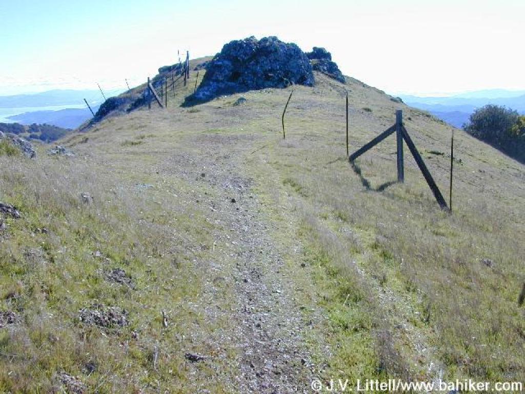 Summit |
||||
 Hillside, looking east |
 A look back to the west |
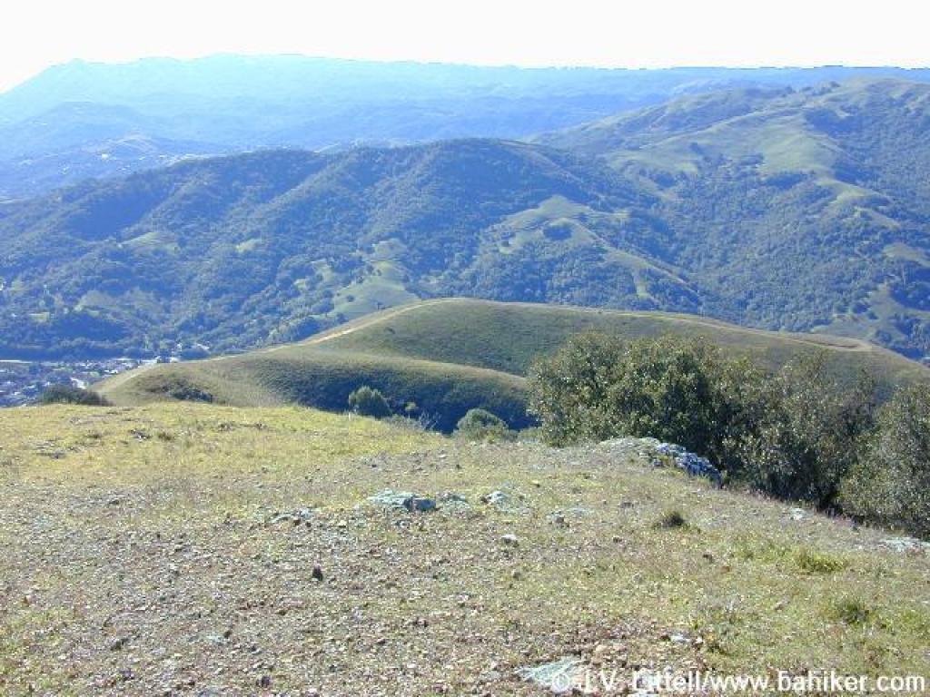 View south |
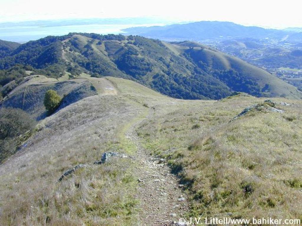 Descending |
||||
 Returning |
 Returning |
Go to Bay Area Hiker Lucas Valley page Go to Bay Area Hiker Home page |
|||||