| Photos
from a February 2002 hike at King Mountain Open Space Preserve (click on any image for a larger view) |
|||||||
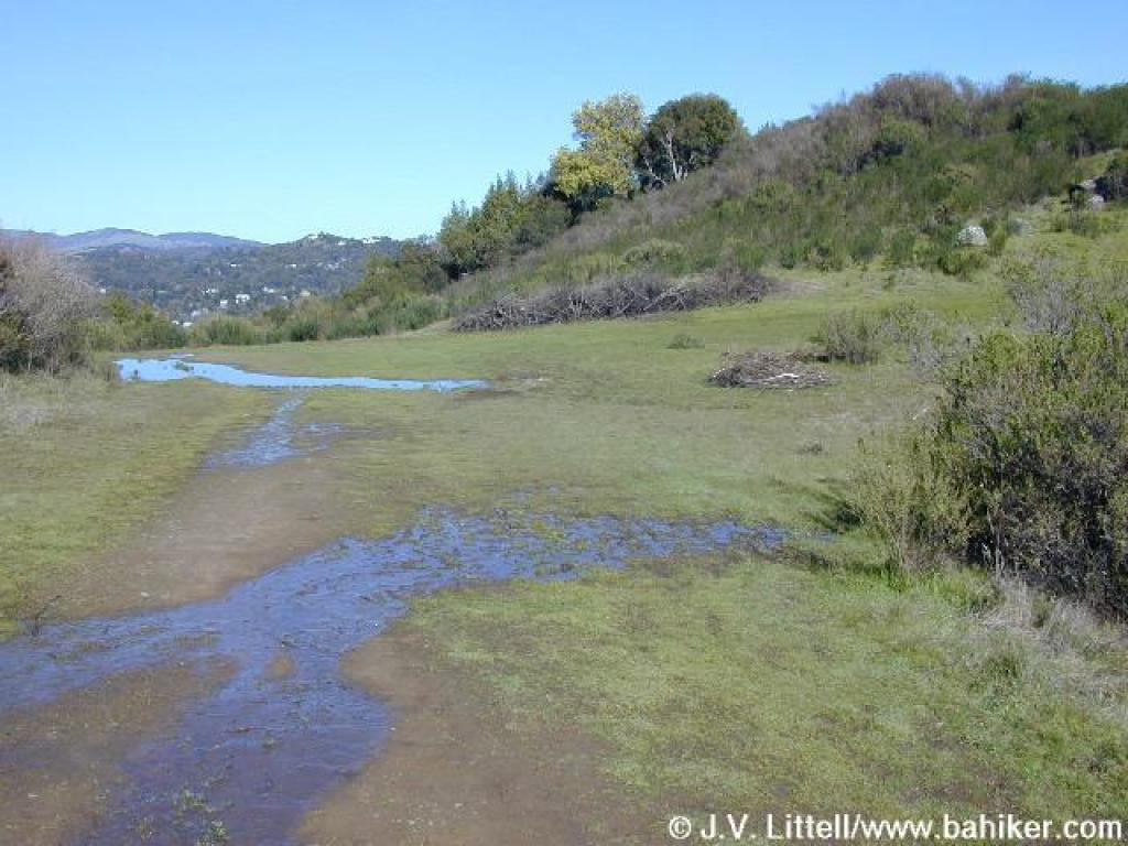
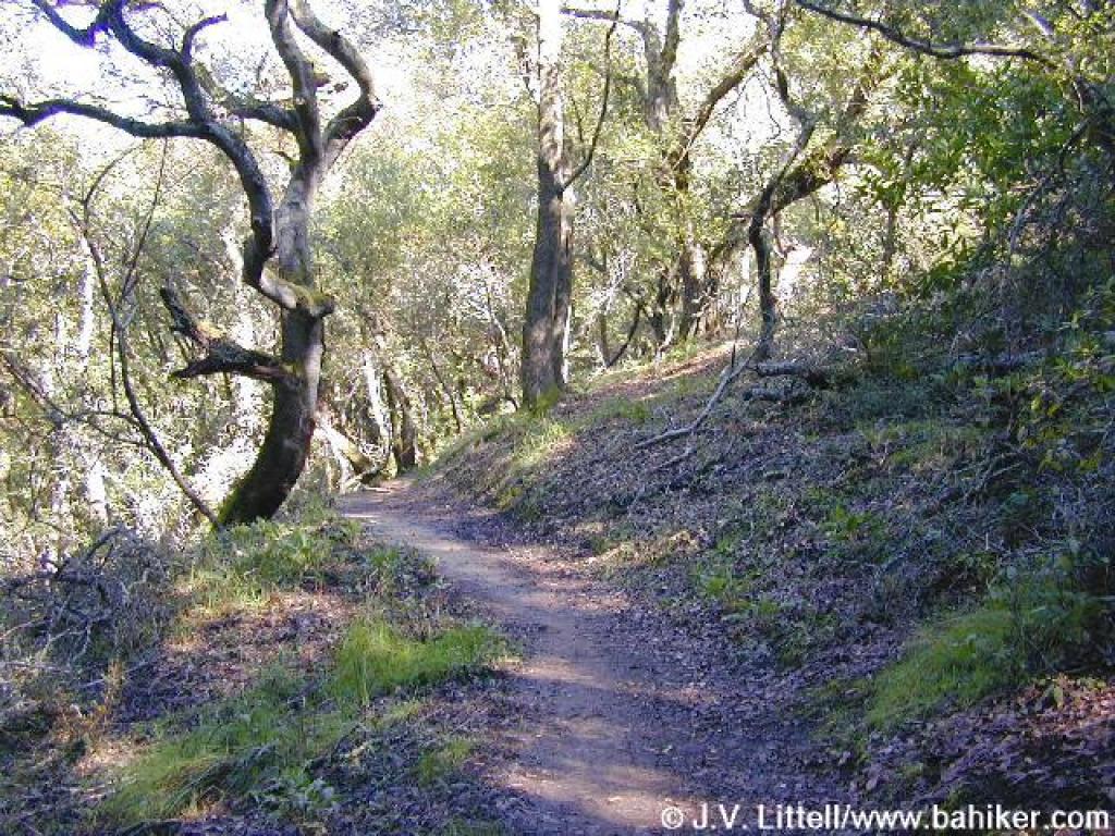
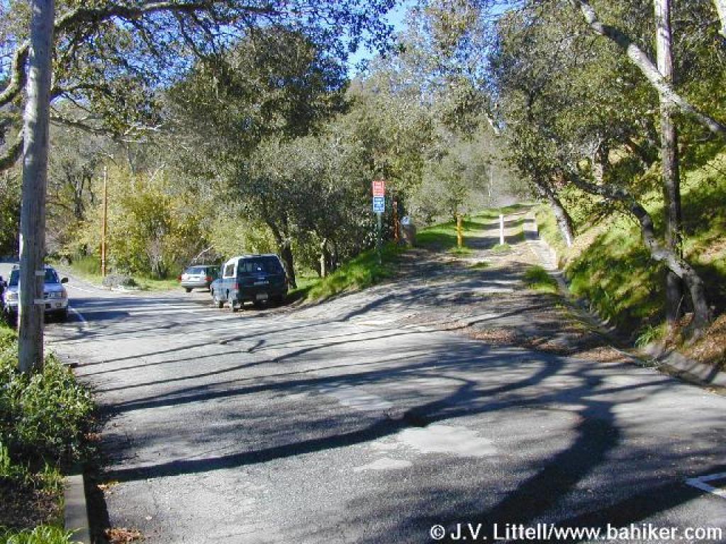 Trailhead |
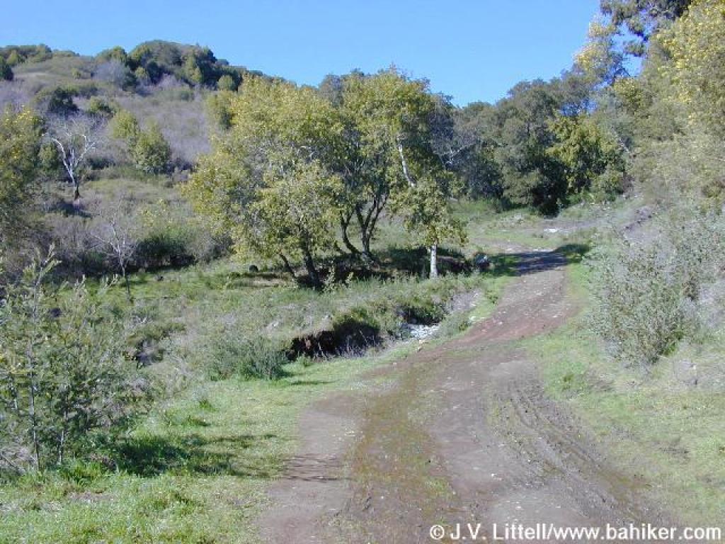
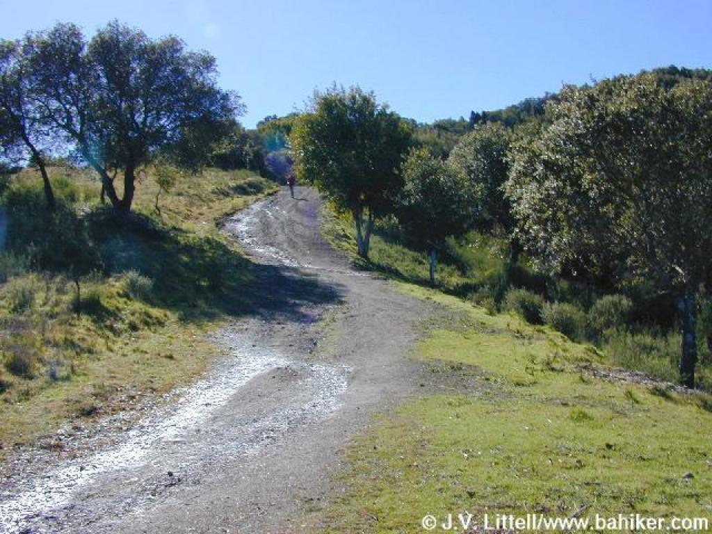
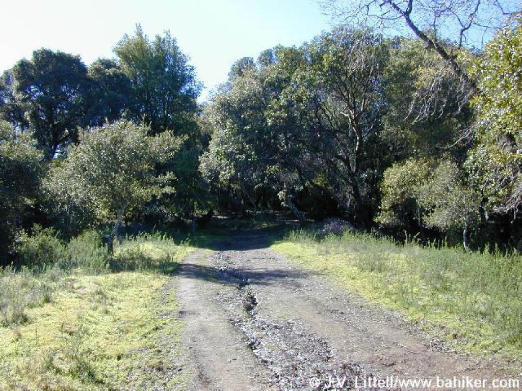
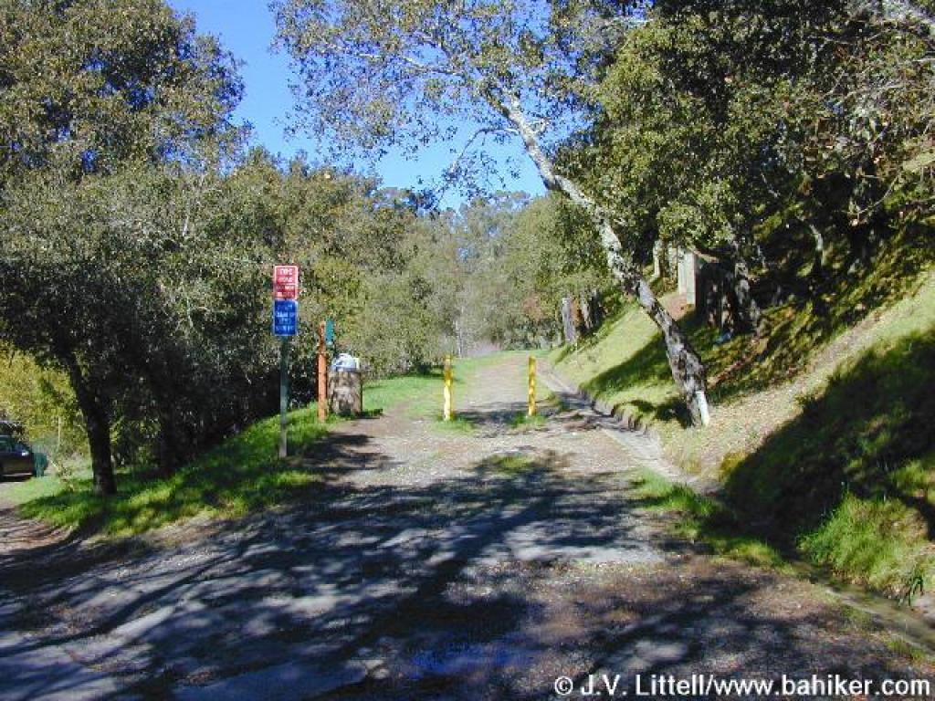 Unmarked fire road |
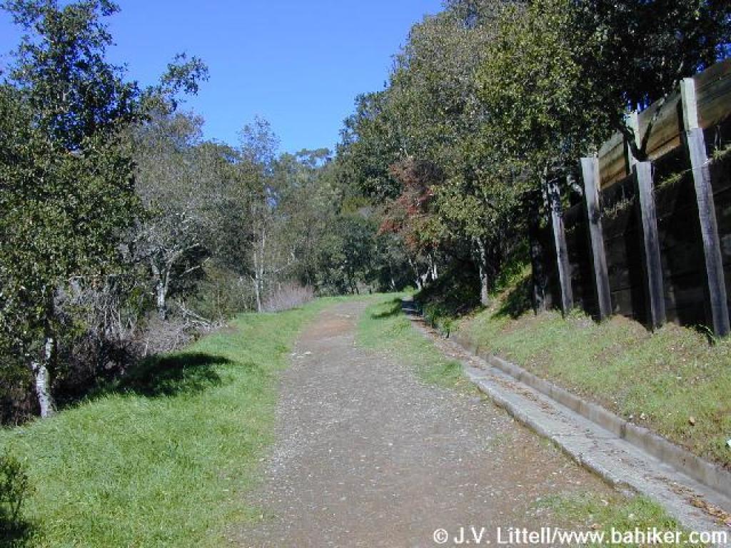 Ascending through the edge of a residential neighborhood |
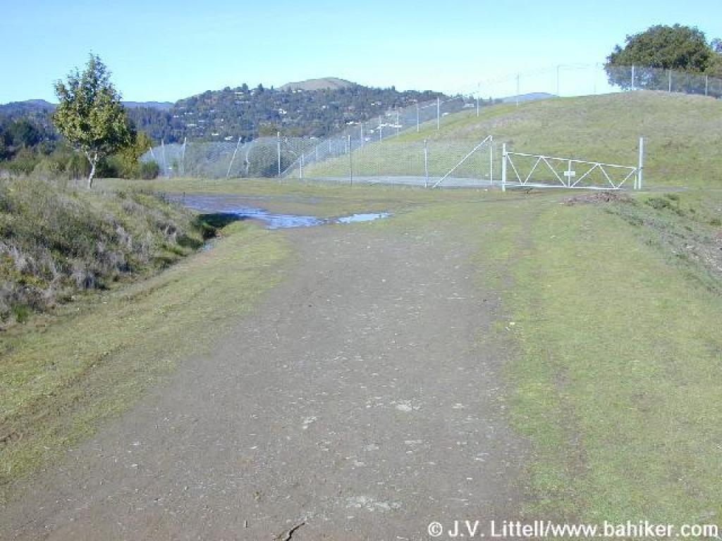
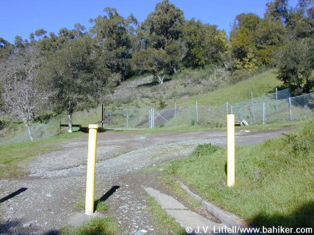 Gate marks the beginning of open space lands |
||||
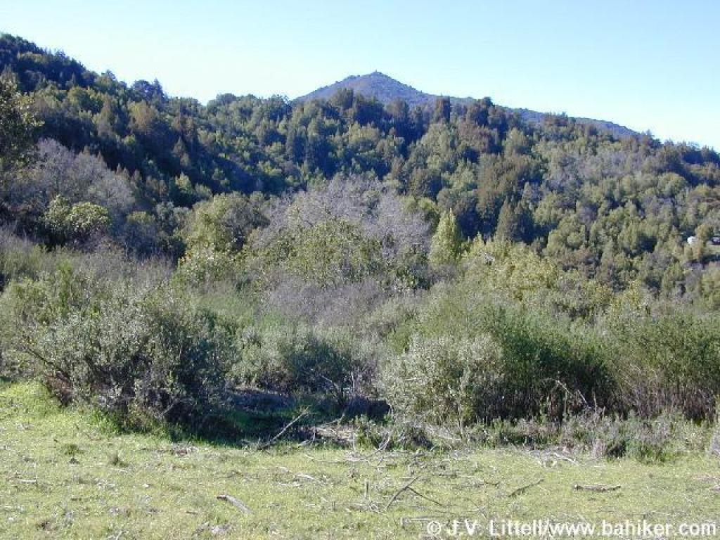
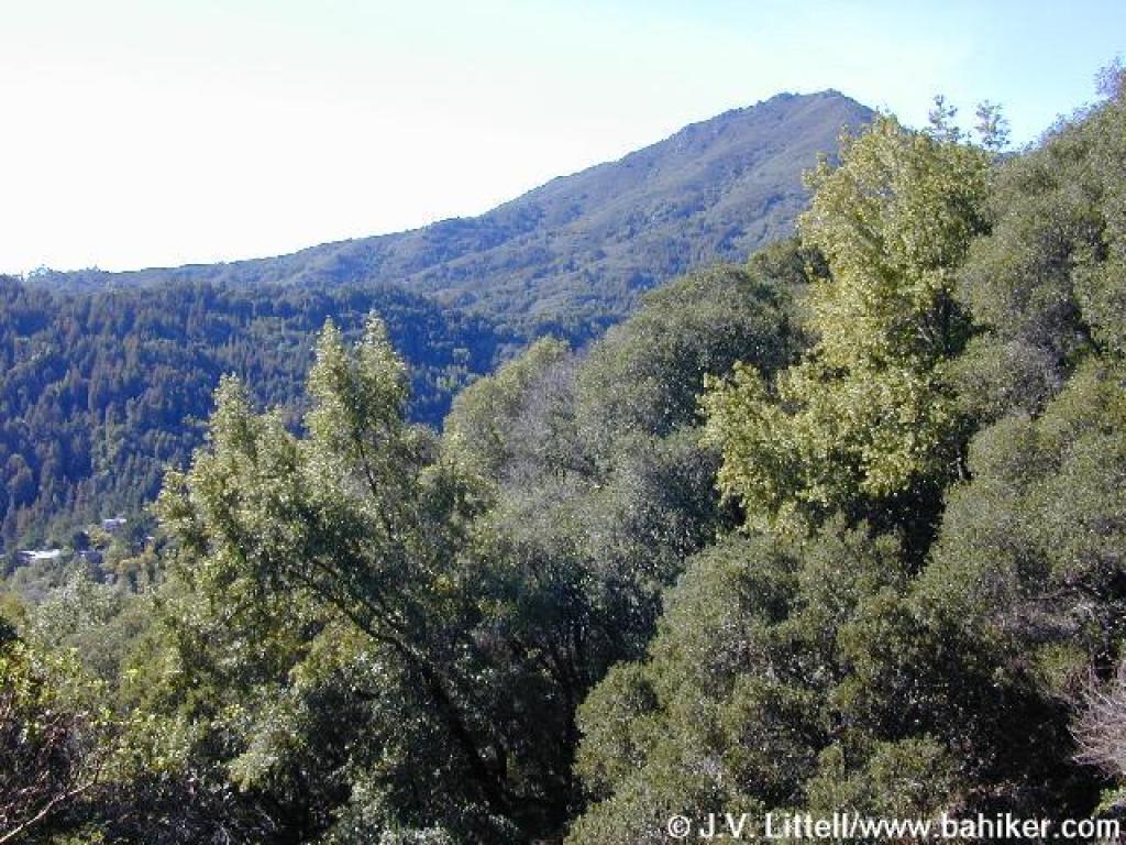
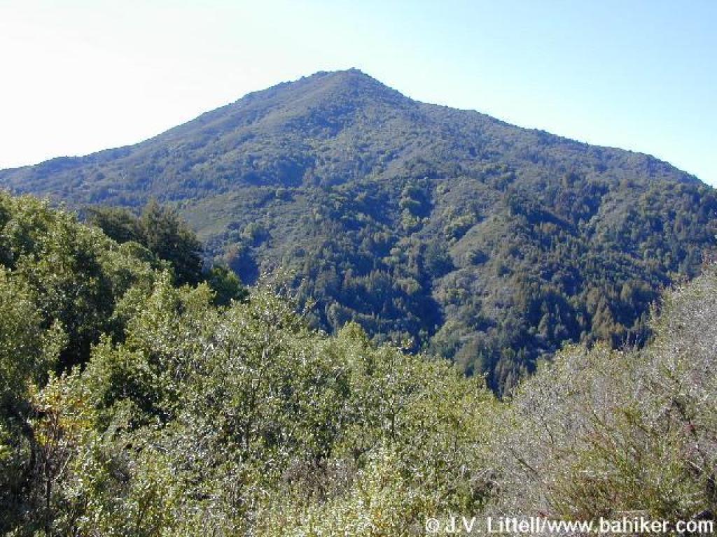
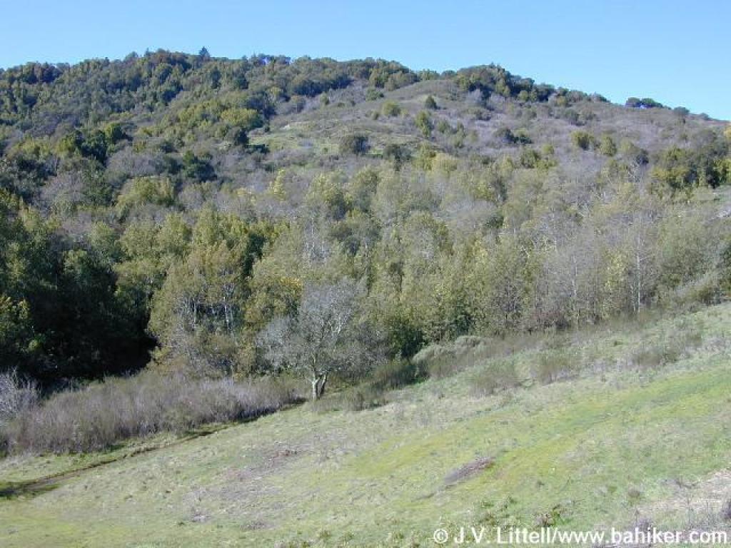 View uphill to King Mountain |
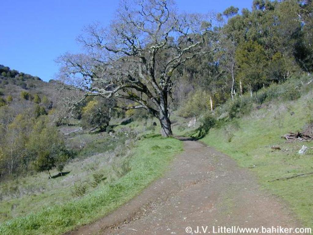 Citron Fire Road |
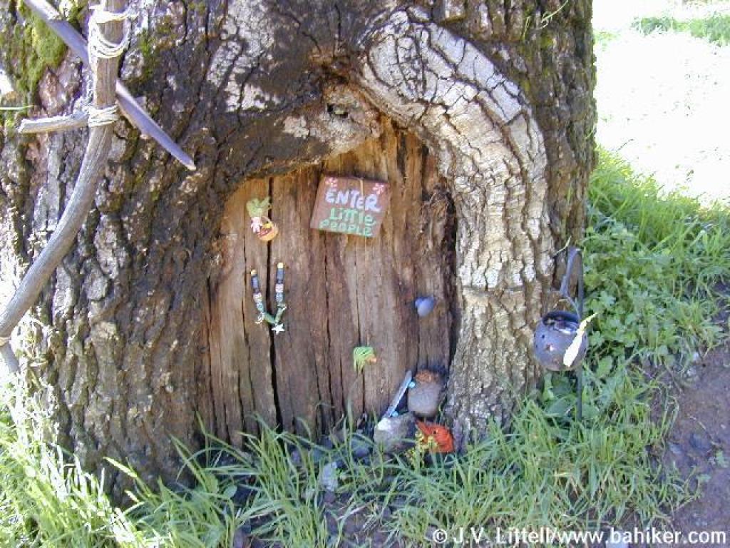 Words fail |
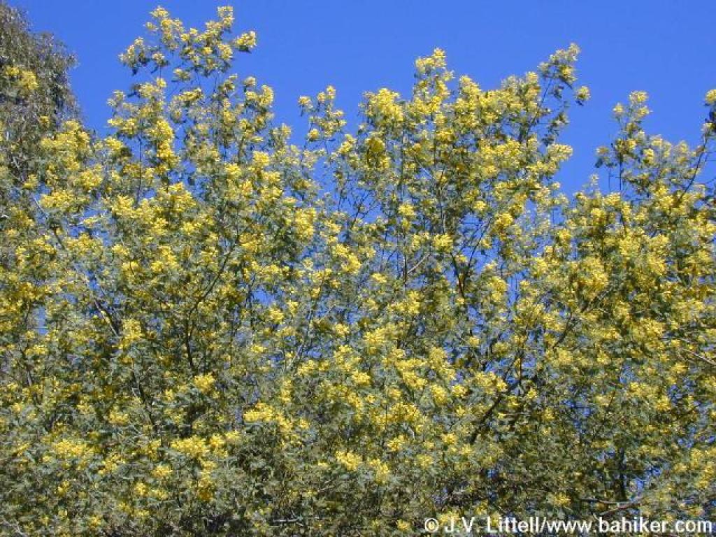 Acacia in bloom |
||||
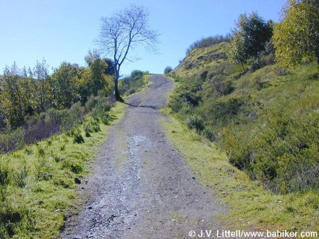
 Trail curves left |
 Steep stretch |
 Corner |
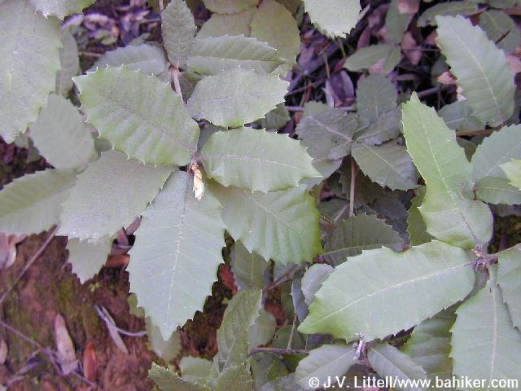
 Lots of poison oak on the sides of the trail |
||||
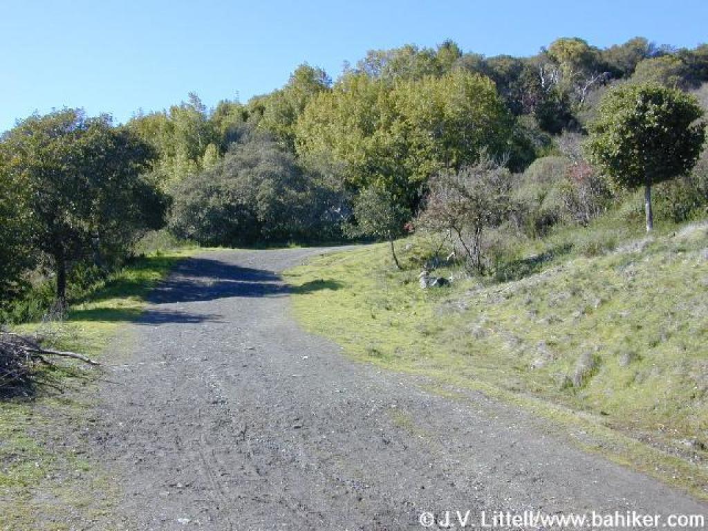
 Junction; bear left |
 Junction, gate, and corner |
 Another steep bit |
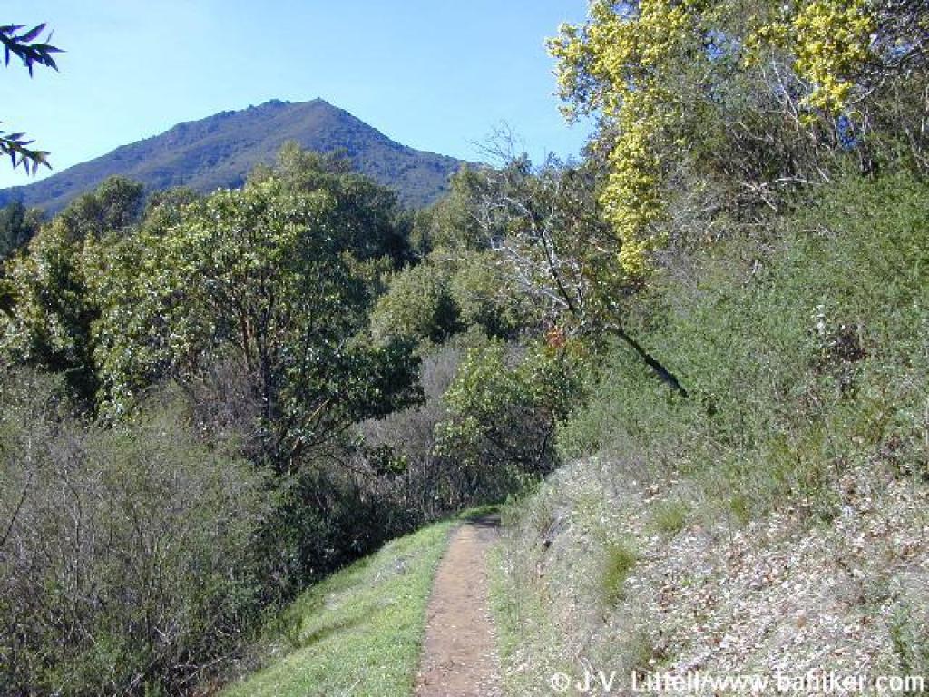
 View to Mount Tam |
||||
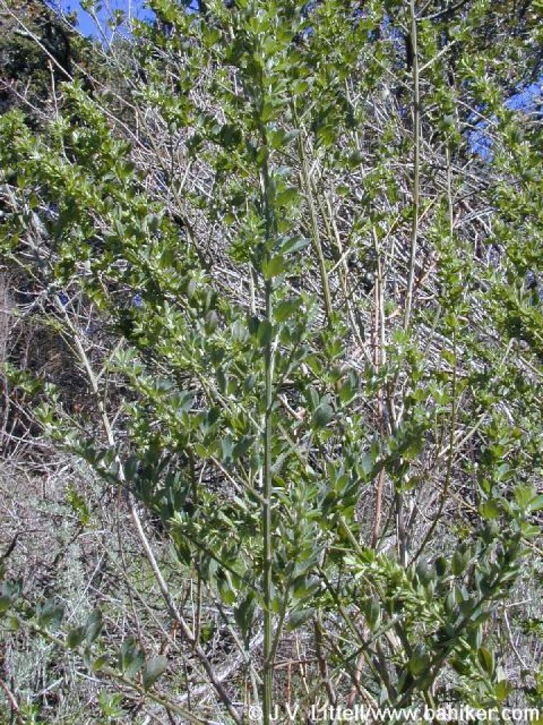
 Madrone |
 Approaching junction |
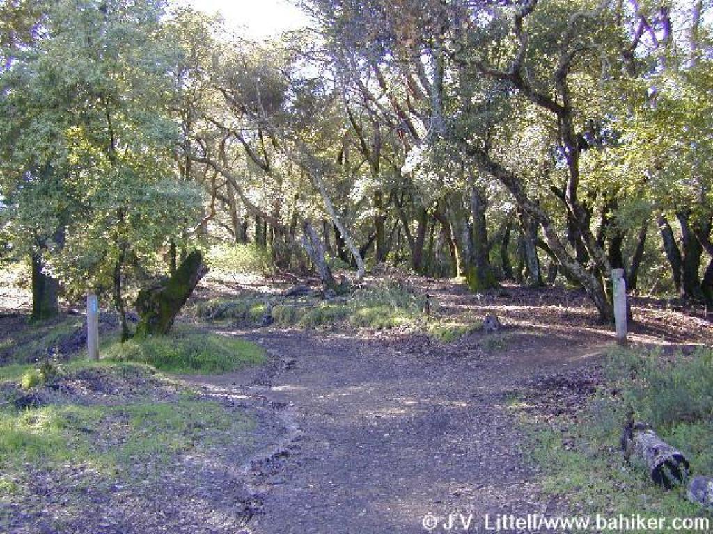 Junction |
 King Mountain Loop Trail, left |
||||
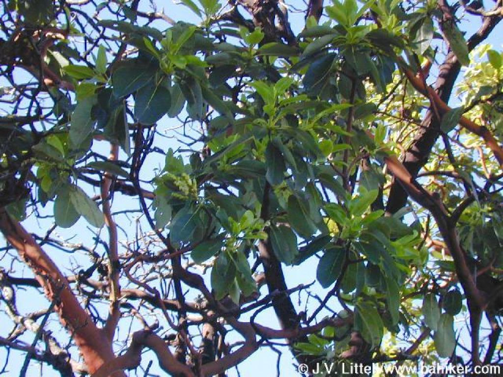
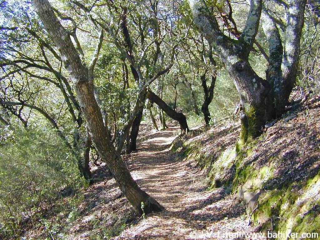
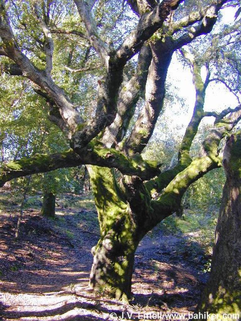 Coast live oak |
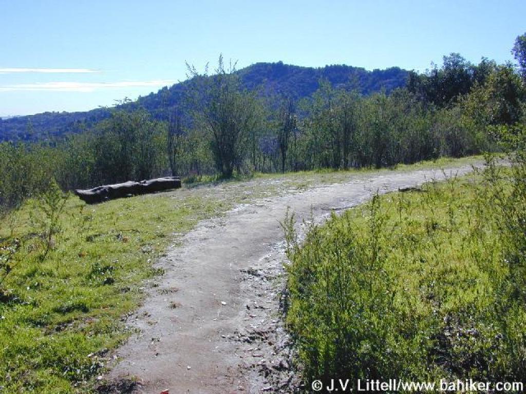 Brief stretch of grassland |
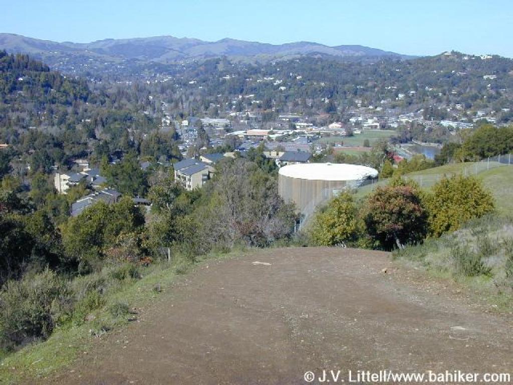
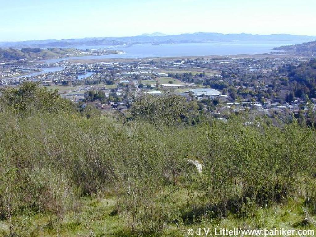 View east |
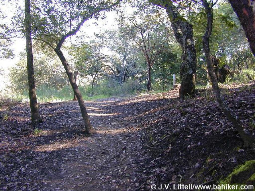
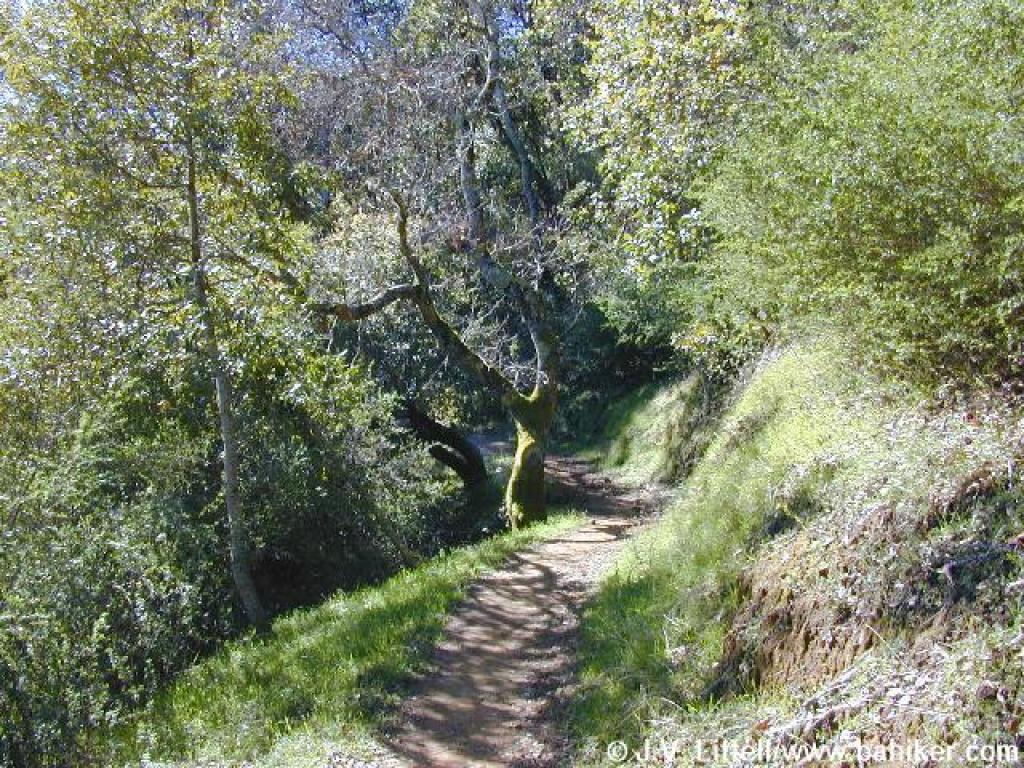 Back into the woods |
||||
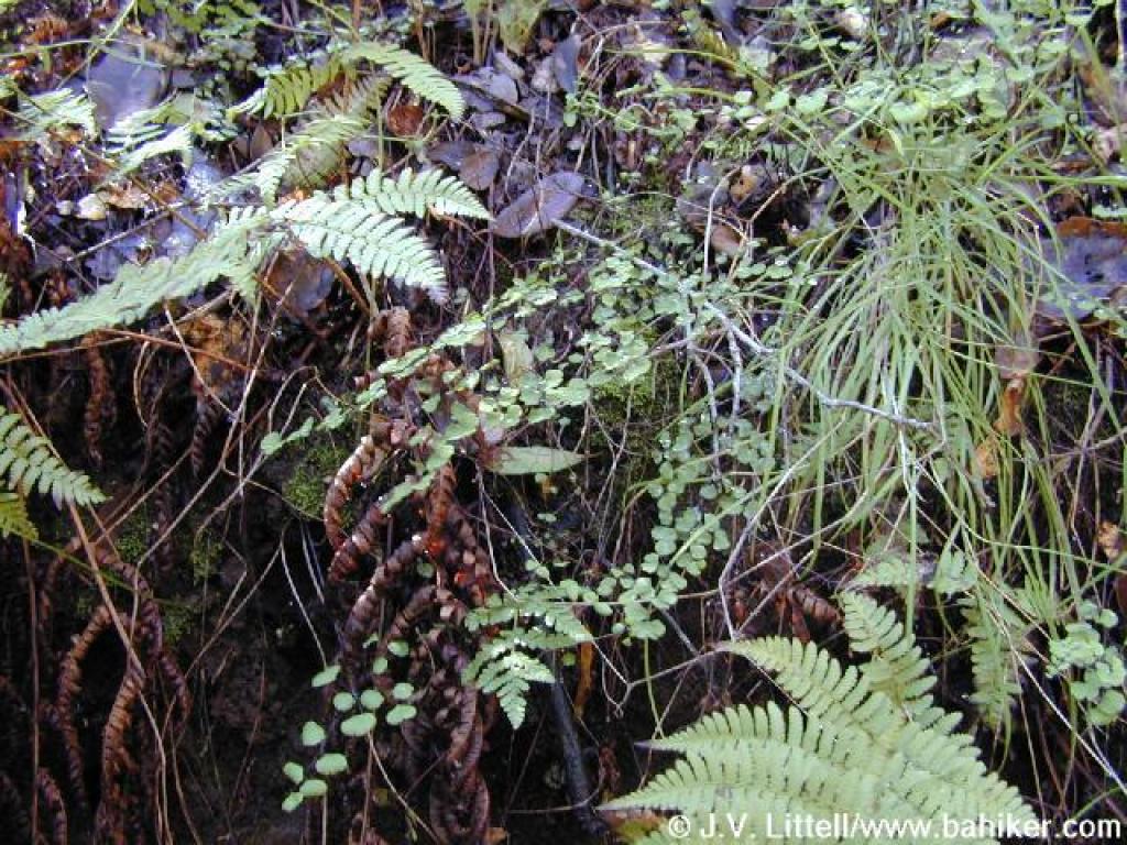 Ferns |
 In winter, look for tiny waterfalls on the right |
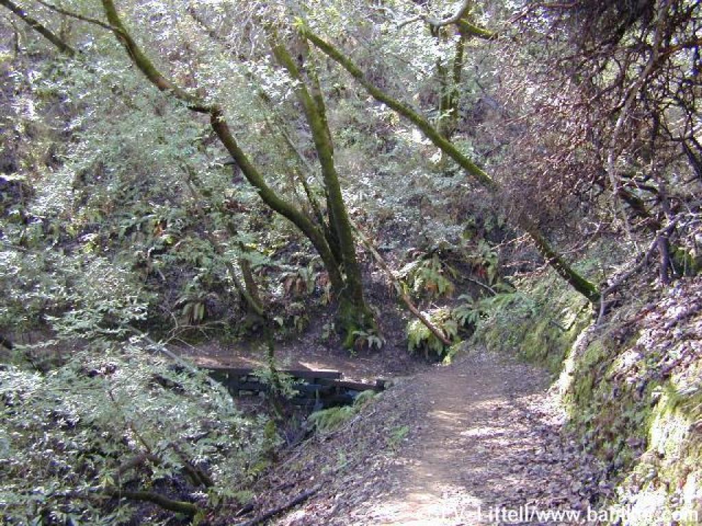
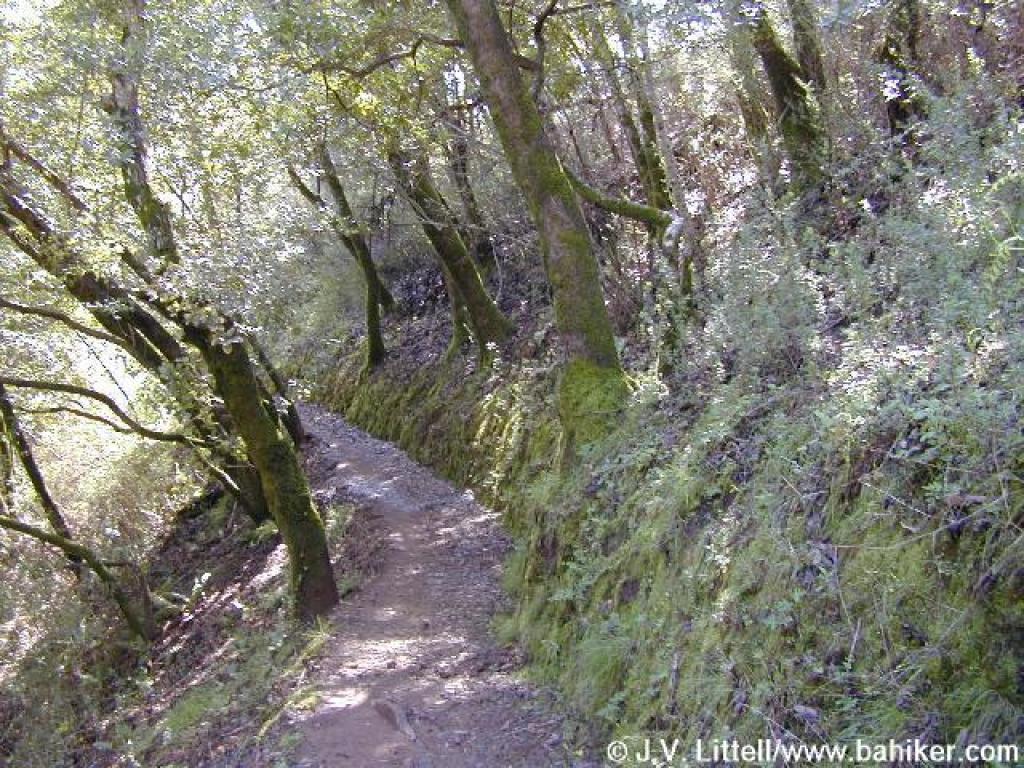
 King Mountain Loop Trail |
 At grassy open areas like this, there are views of Mount Tam and Blithedale Ridge |
||||
 View |
 Broom |
 Pretty mixed woodland |
 Another nice view of Mount Tam |
||||
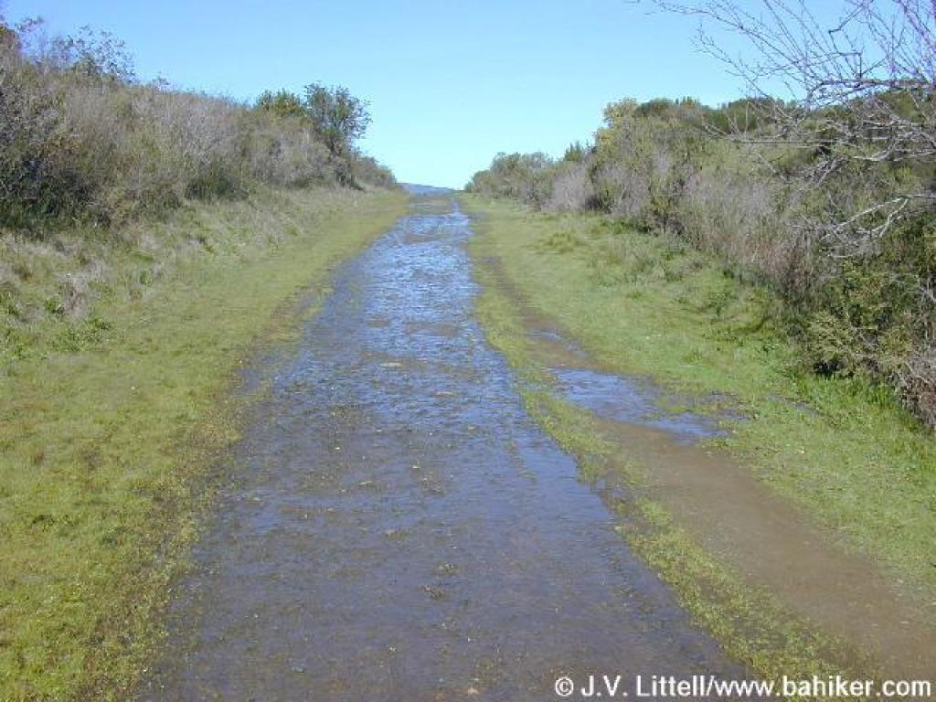
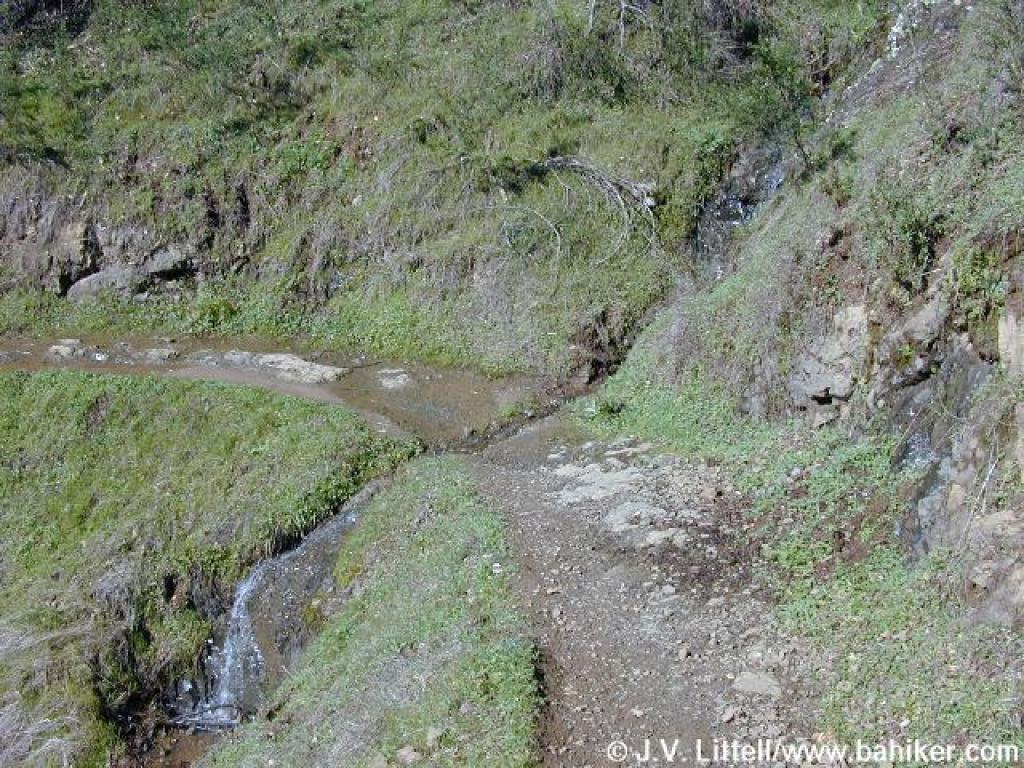 Since it had rained the day before, seasonal waterfalls like this one were flowing |
 There are lots of ferns in the shade of coast live oaks |
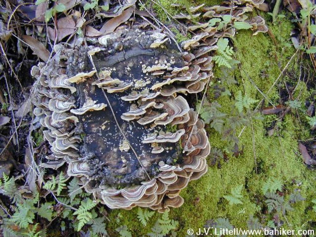 Fungus |
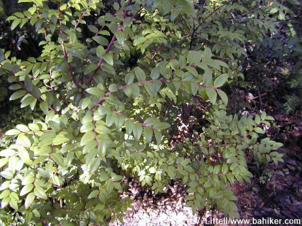
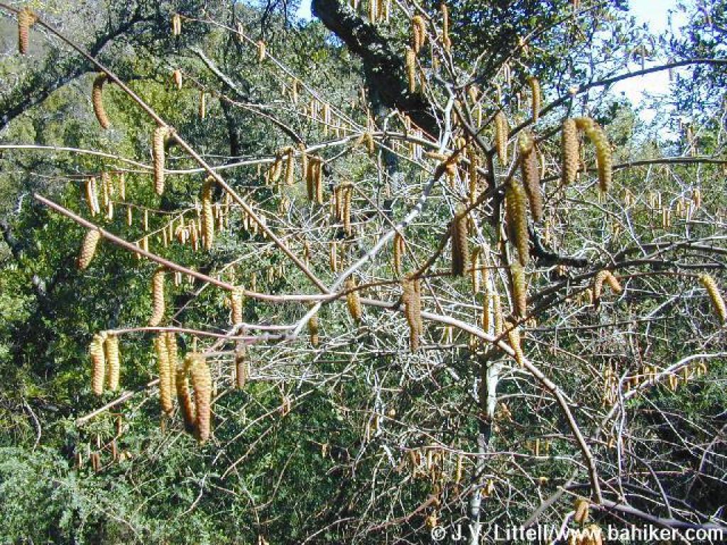 Hazelnut shrub |
||||
 Junction with an access trail from Wilson Way |
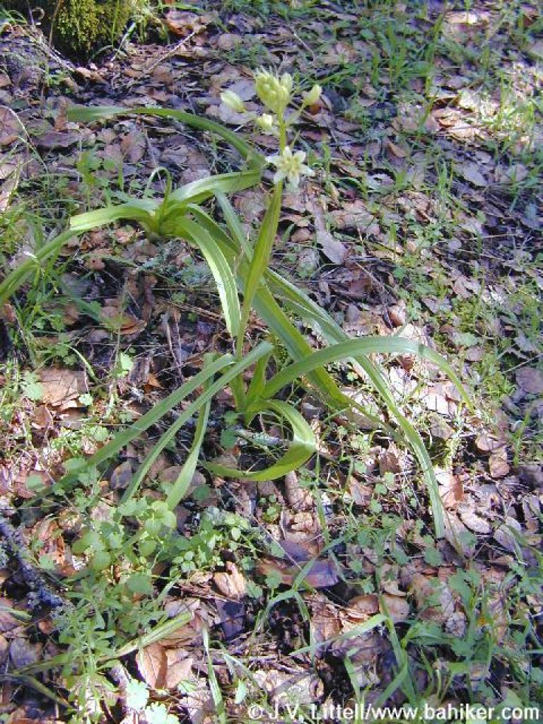 Zigadene |
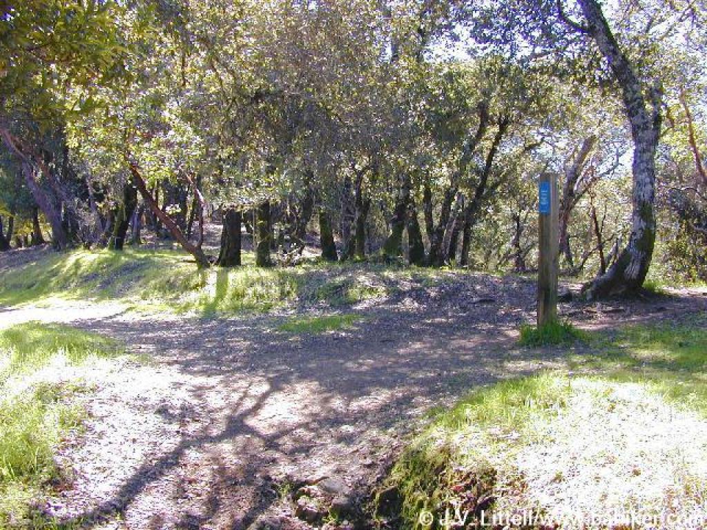
 King Mountain Loop Trail |
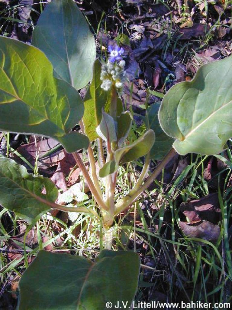
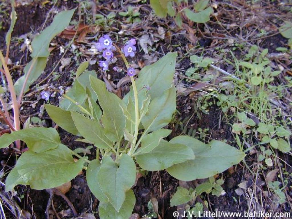 Hound's tongue |
||||
 Hound's tongue |
 Junction with Ladybug Trail |
 Huckleberry |
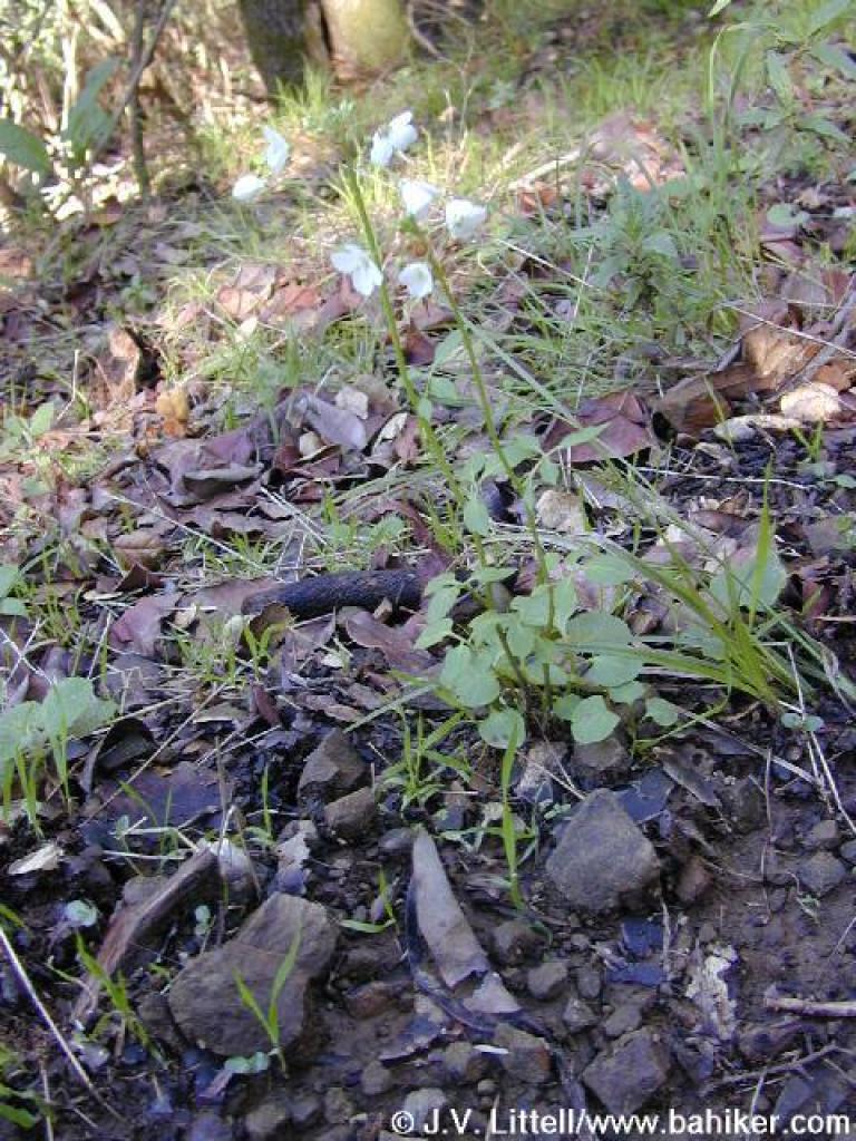 Milkmaids |
||||
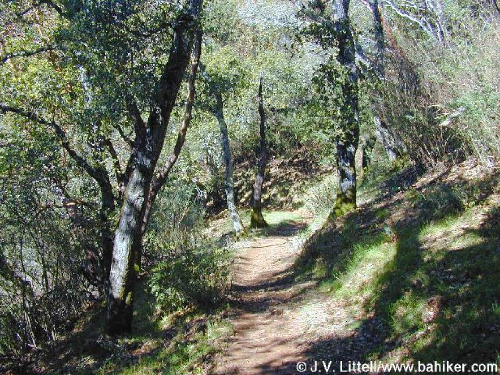
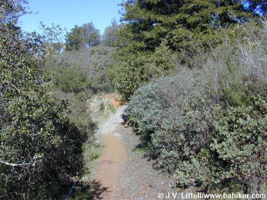
 King Mountain Loop Trail |
 View |
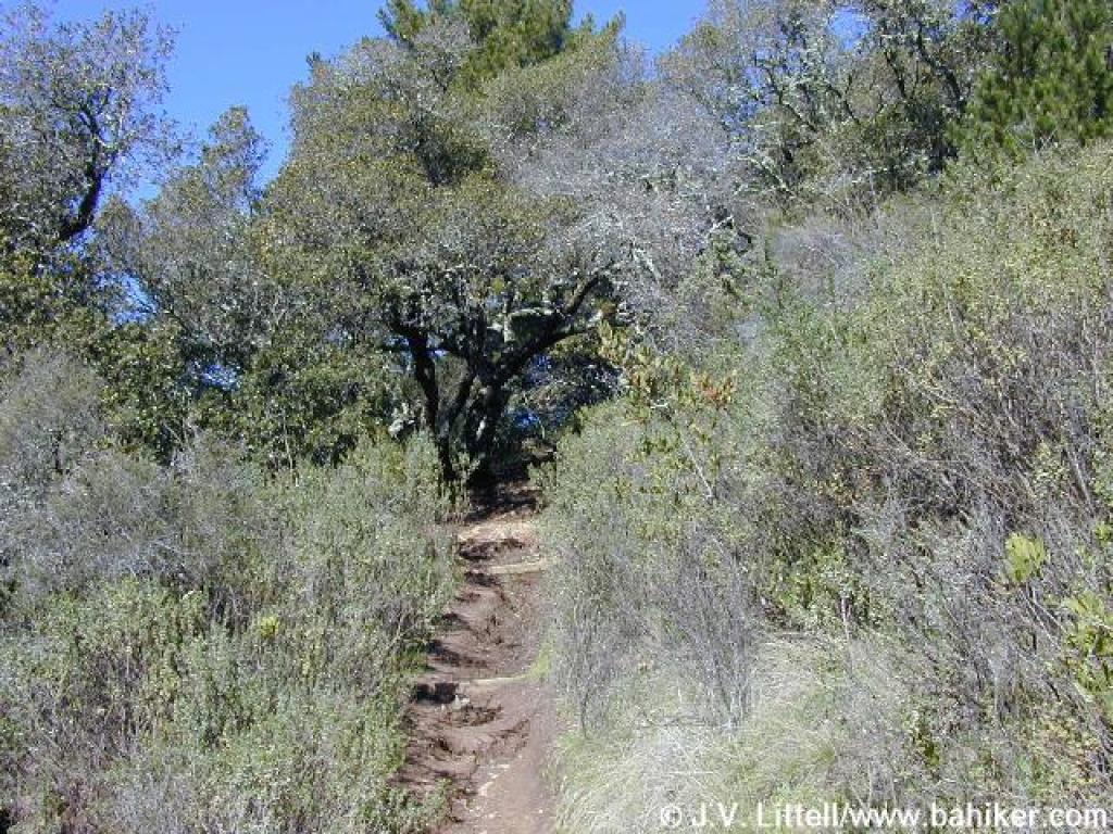 Steep eroded stretch |
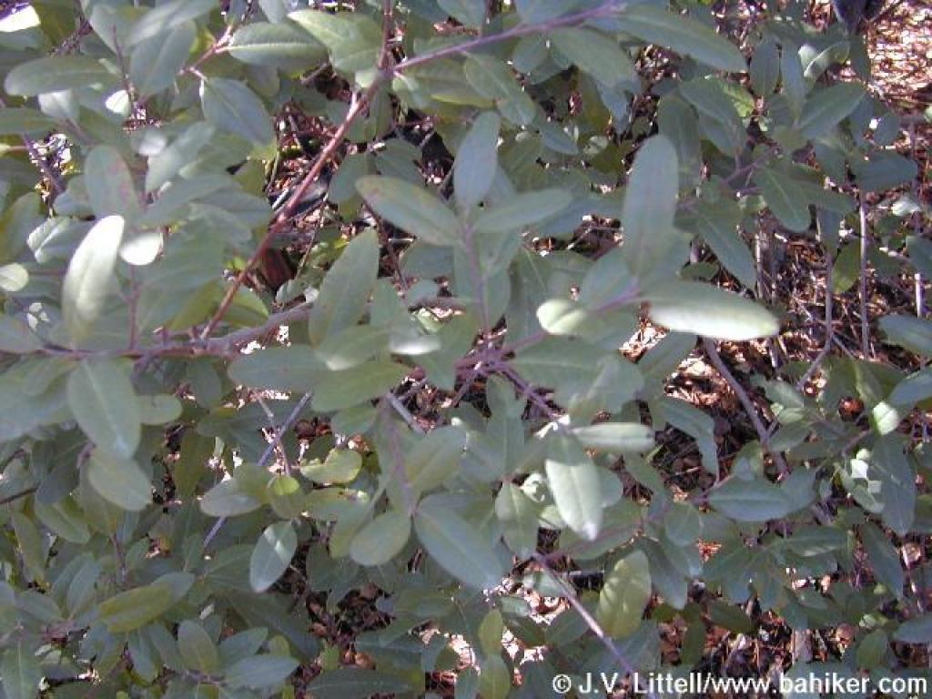 California coffeeberry |
||||
 Approaching junction with Ridgecrest Road |
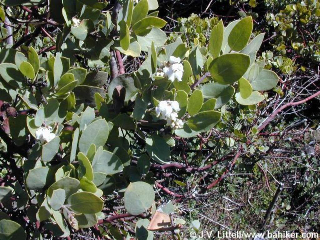 Manzanita |
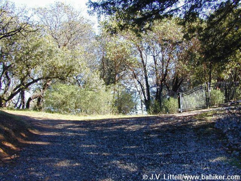 The trail weaves uphill, past the entrance to an estate, then bends left |
 Heading back into the woods |
||||
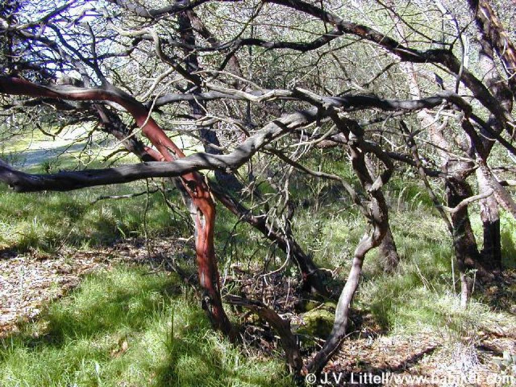 Manzanita |
 Steps downhill |
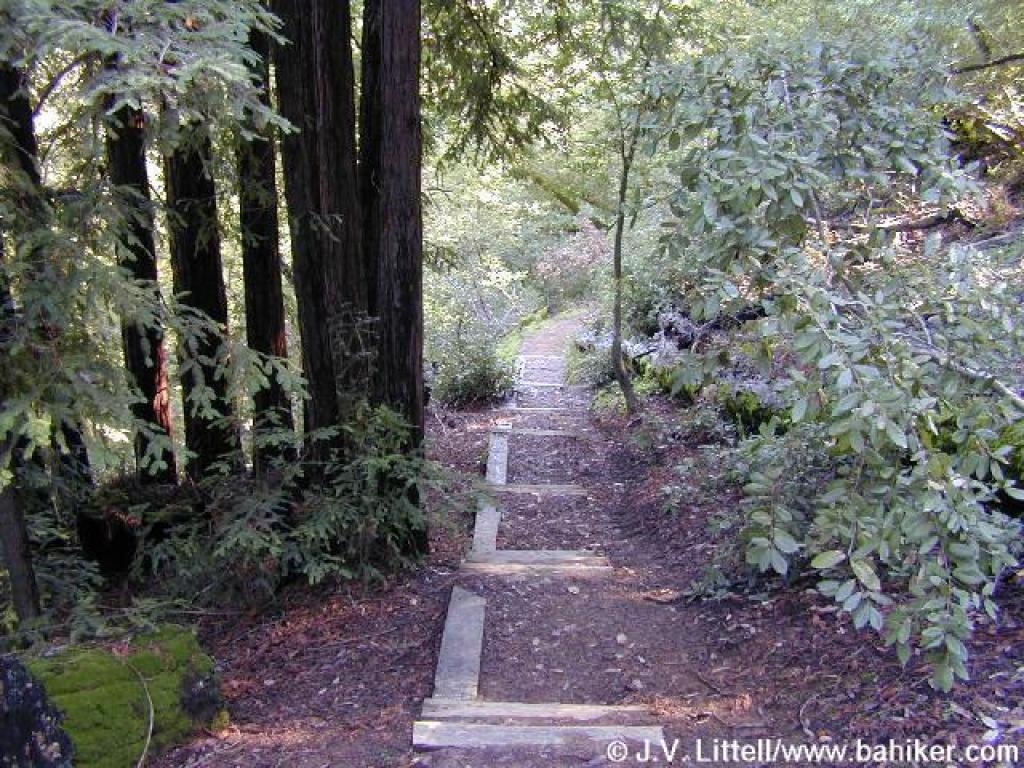 Descending into a redwood canyon |
 Switchback |
||||
 Tanoak |
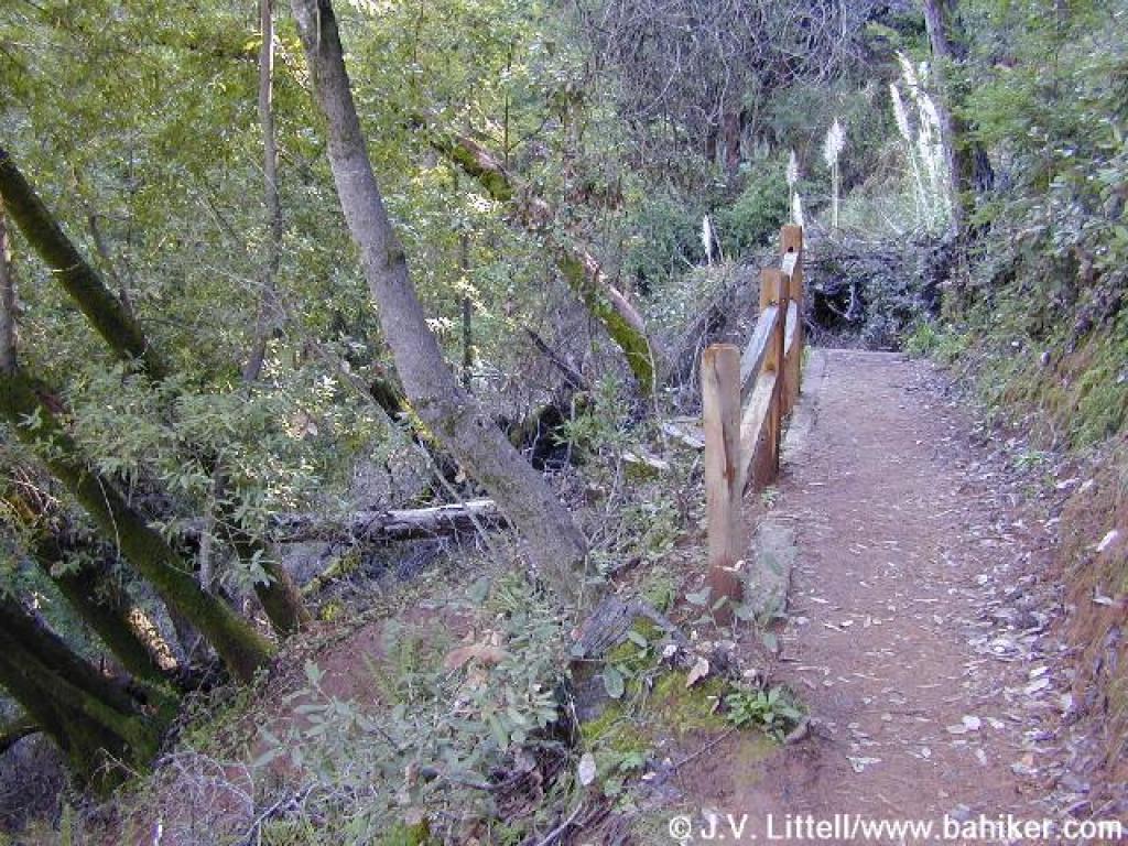
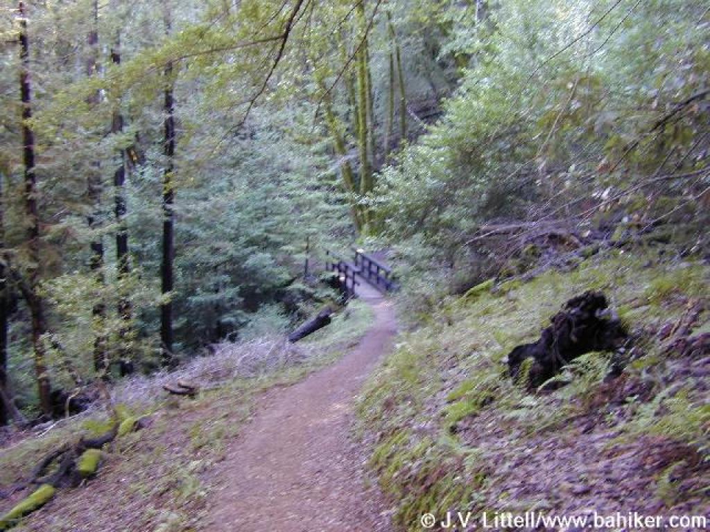 Bridge |
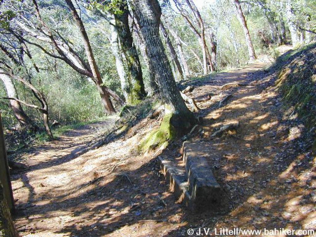
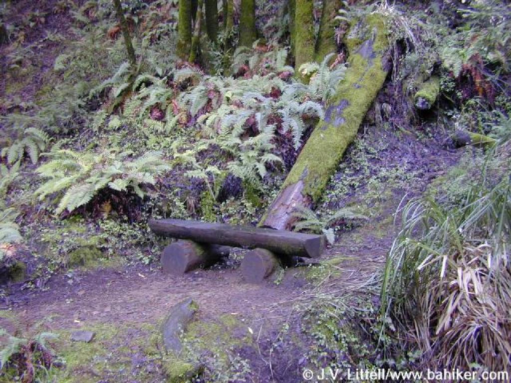 Bench |
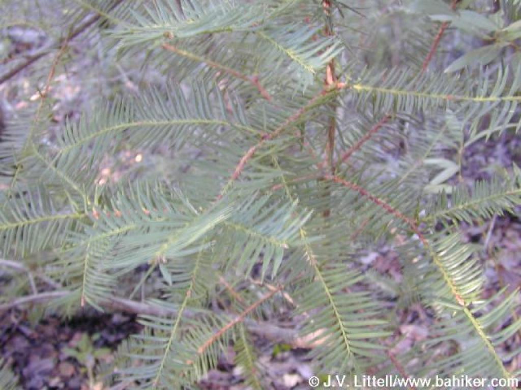 Nutmeg |
||||
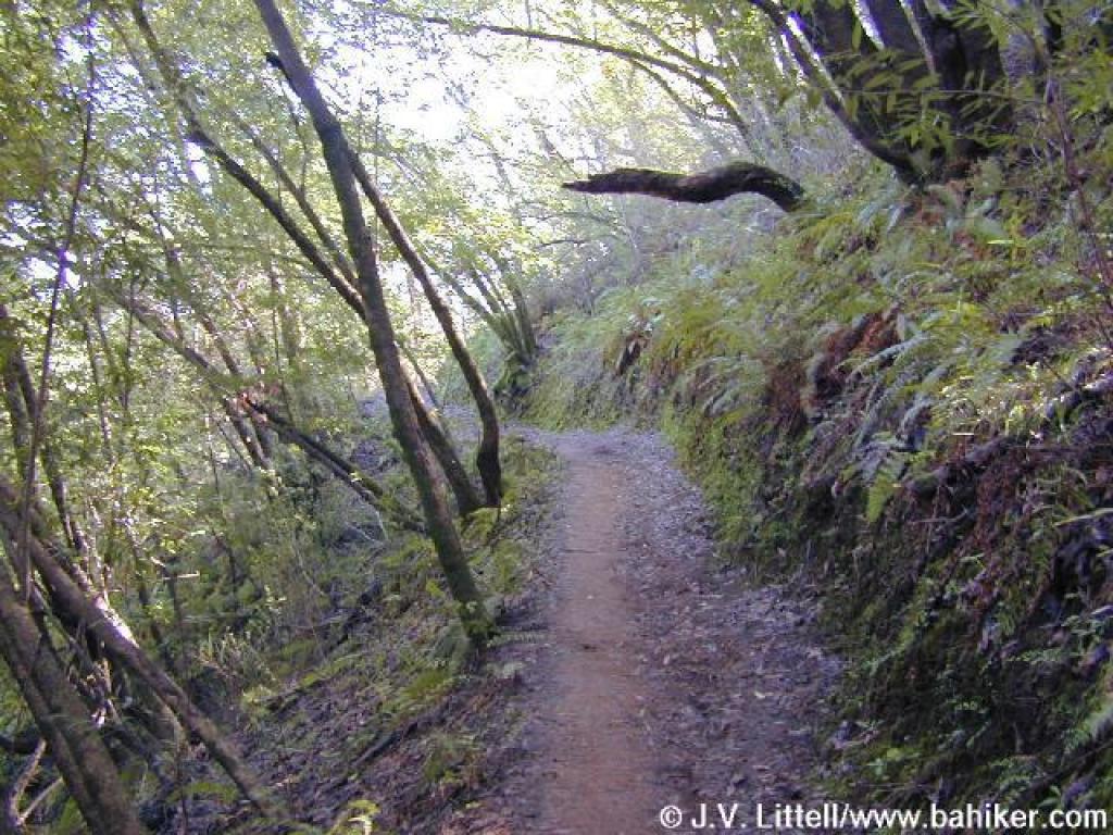
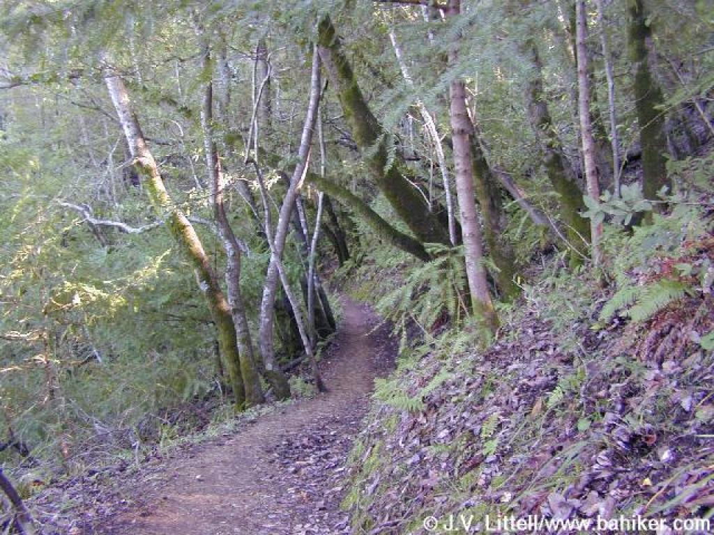 King Mountain Loop Trail |
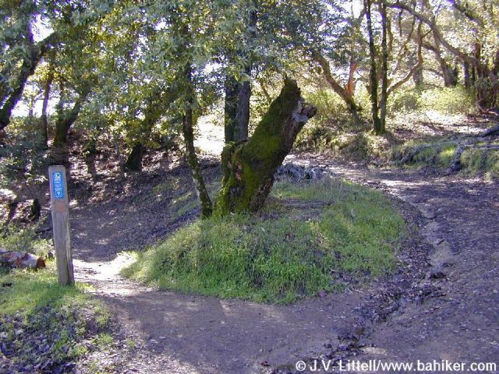
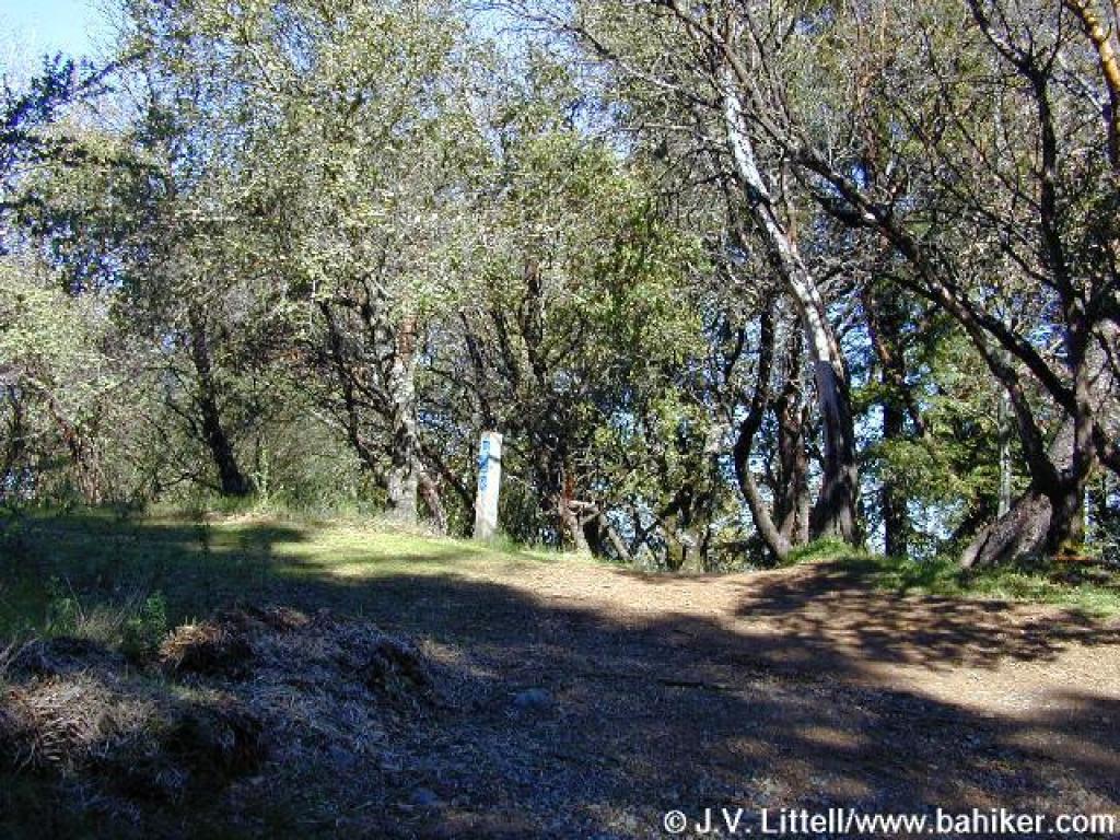
 Junction |
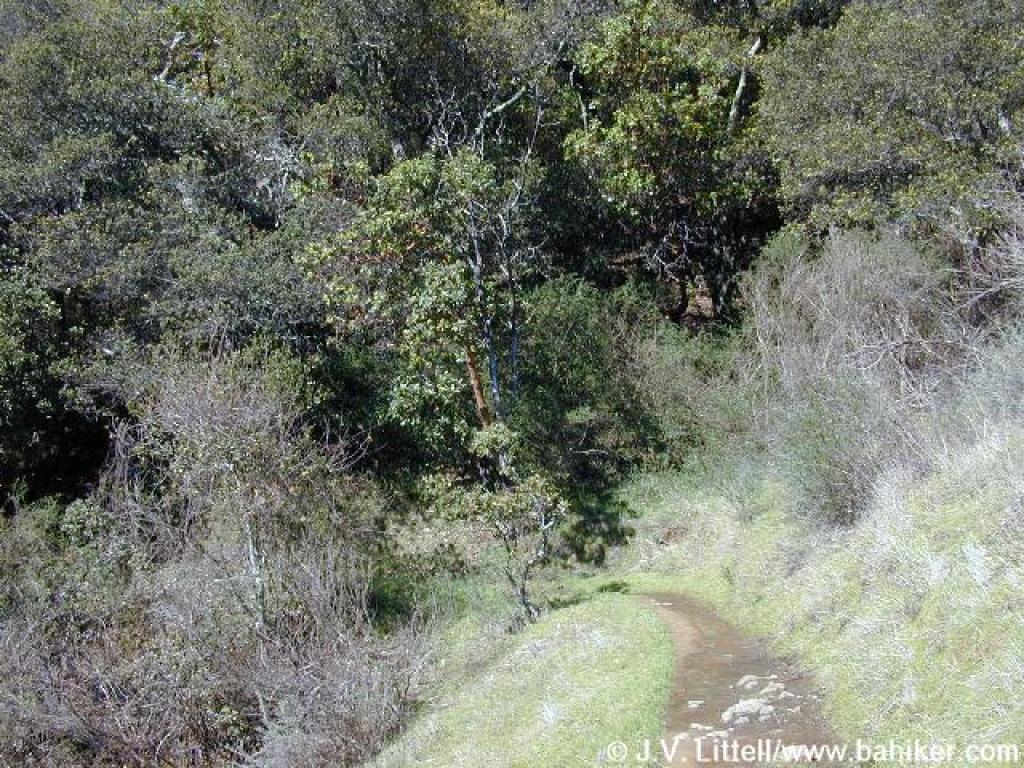
 View north on the return |
Go to Bay Area Hiker King Mountain page Go to Bay Area Hiker Home page |
||||