| Photos
from a March 2001 hike at Mission Peak Regional Preserve (click on any image for a larger view) |
|||||||
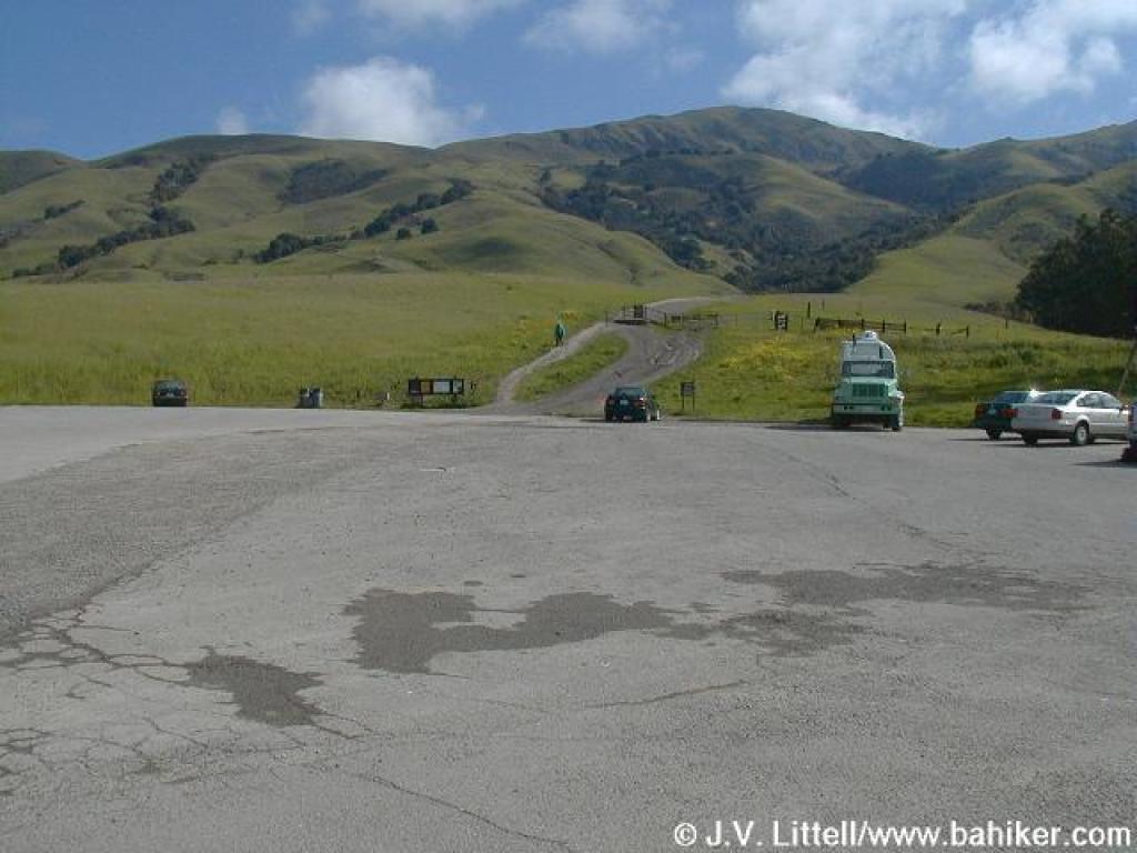 Parking lot |
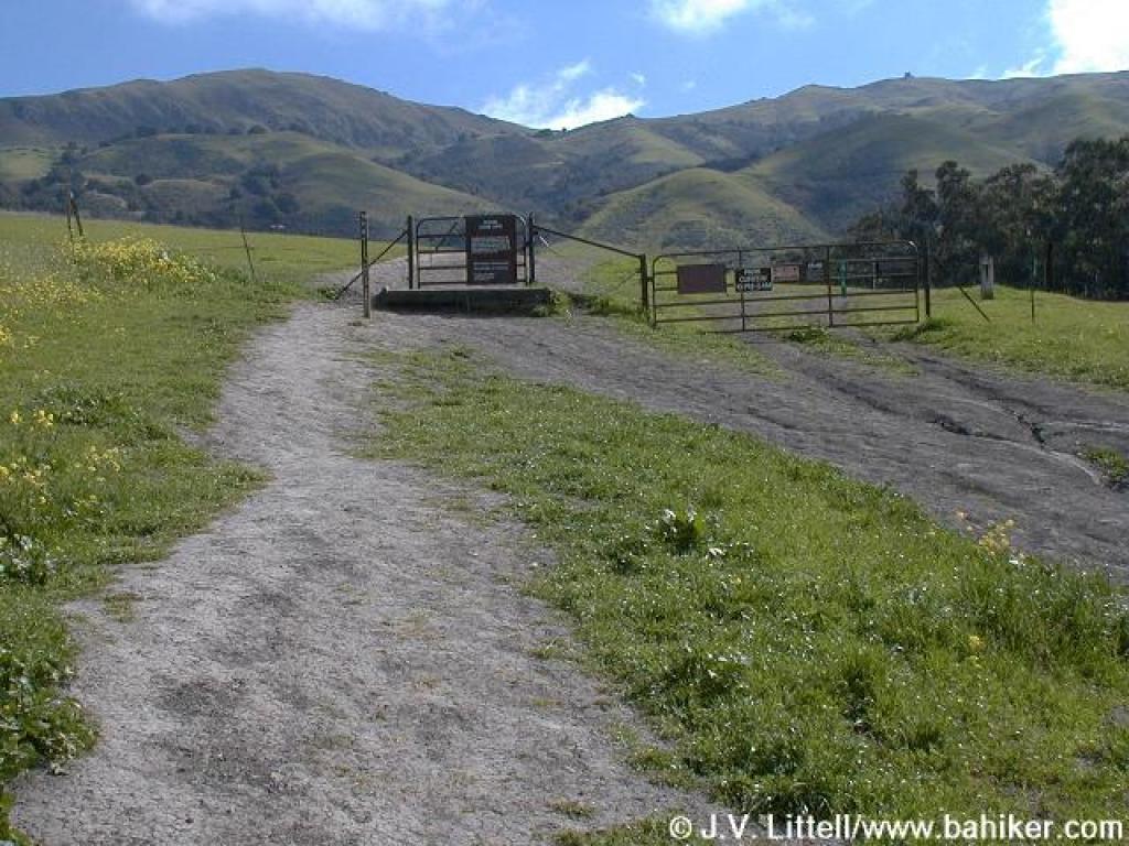 Gate at trailhead |
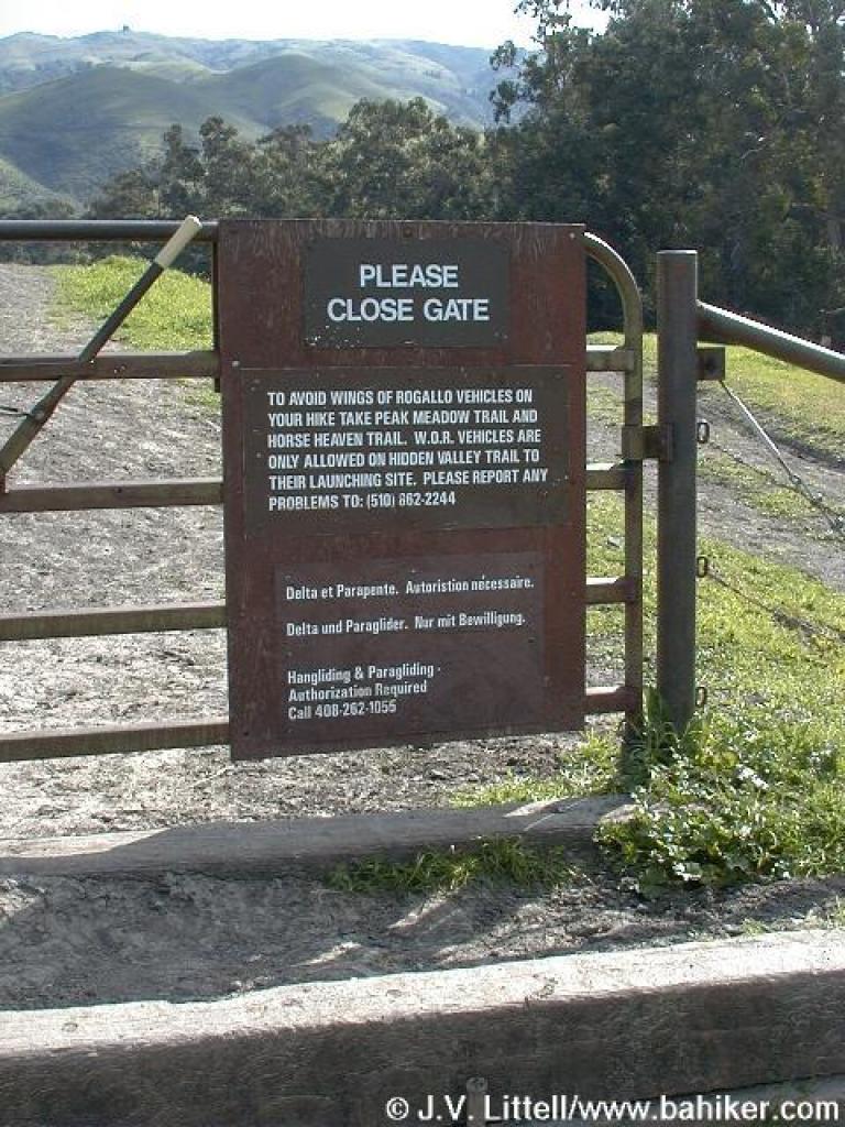 Hang glider sign |
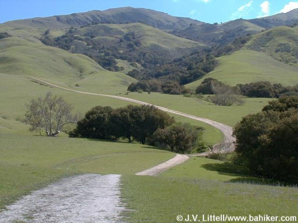
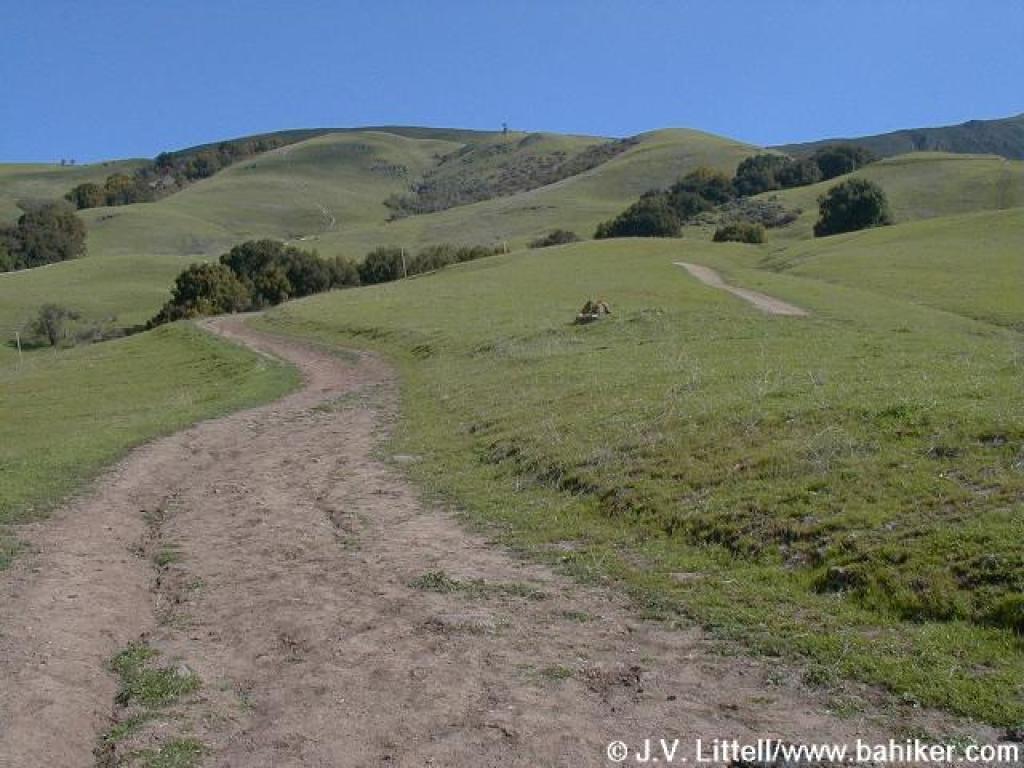
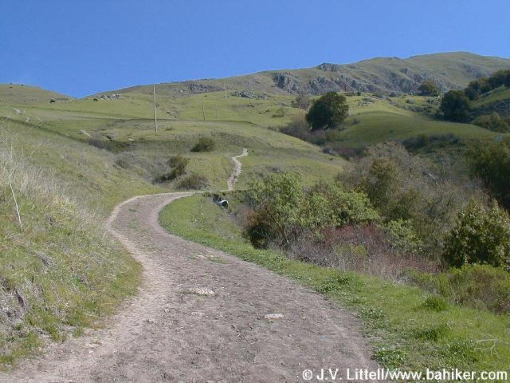
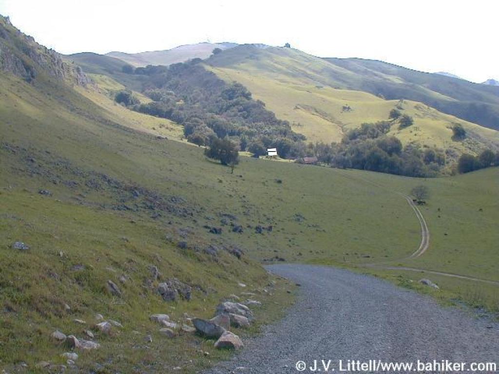
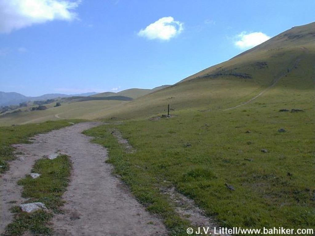
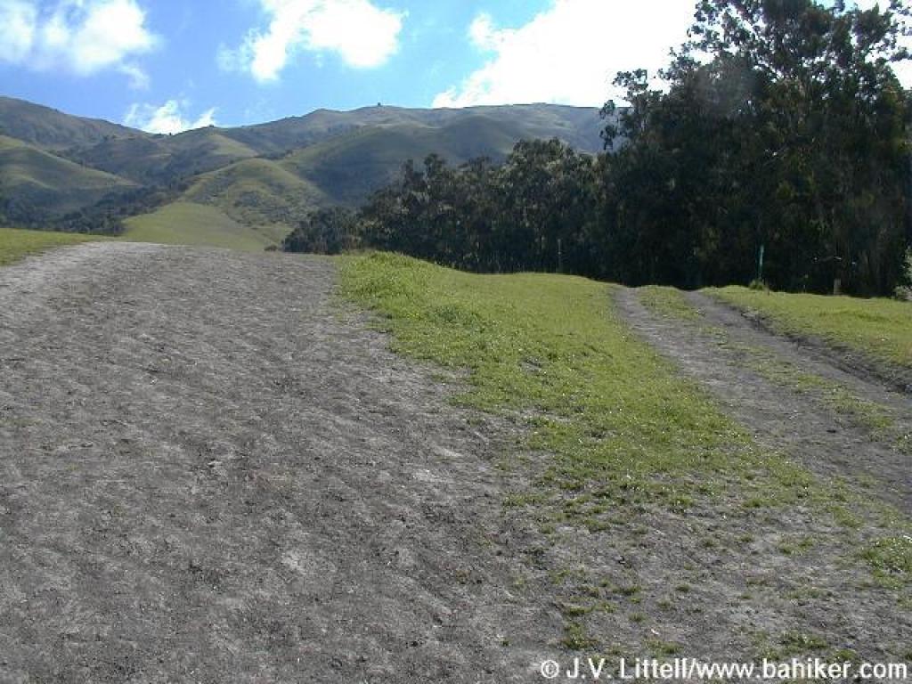 Junction |
||||
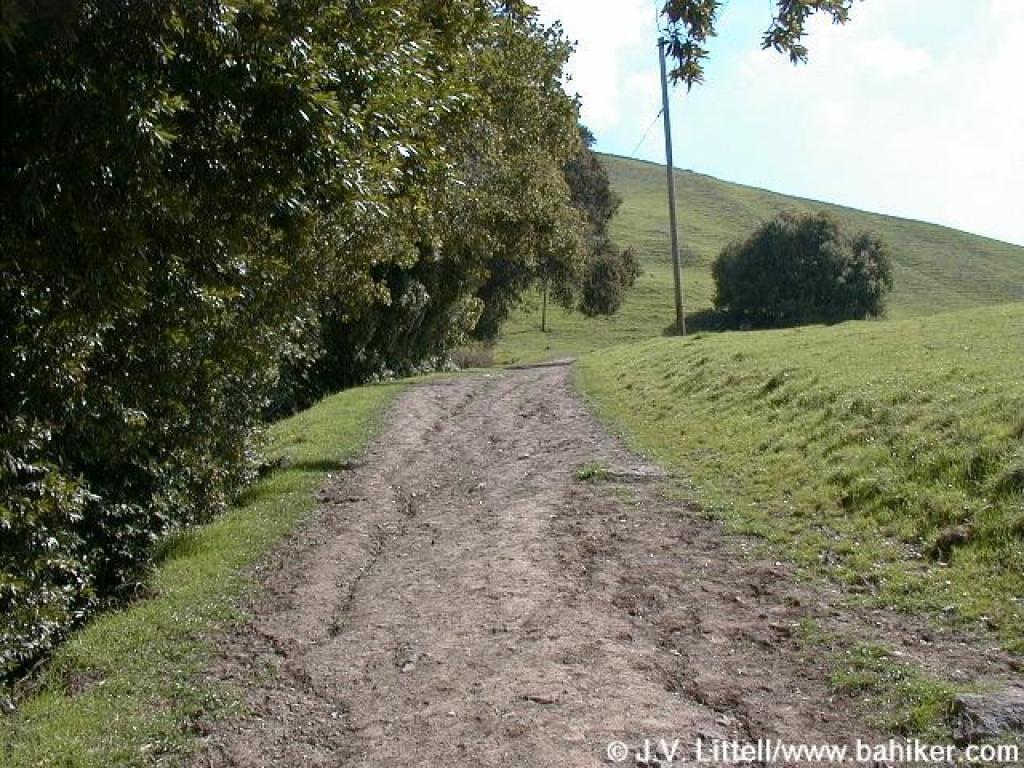
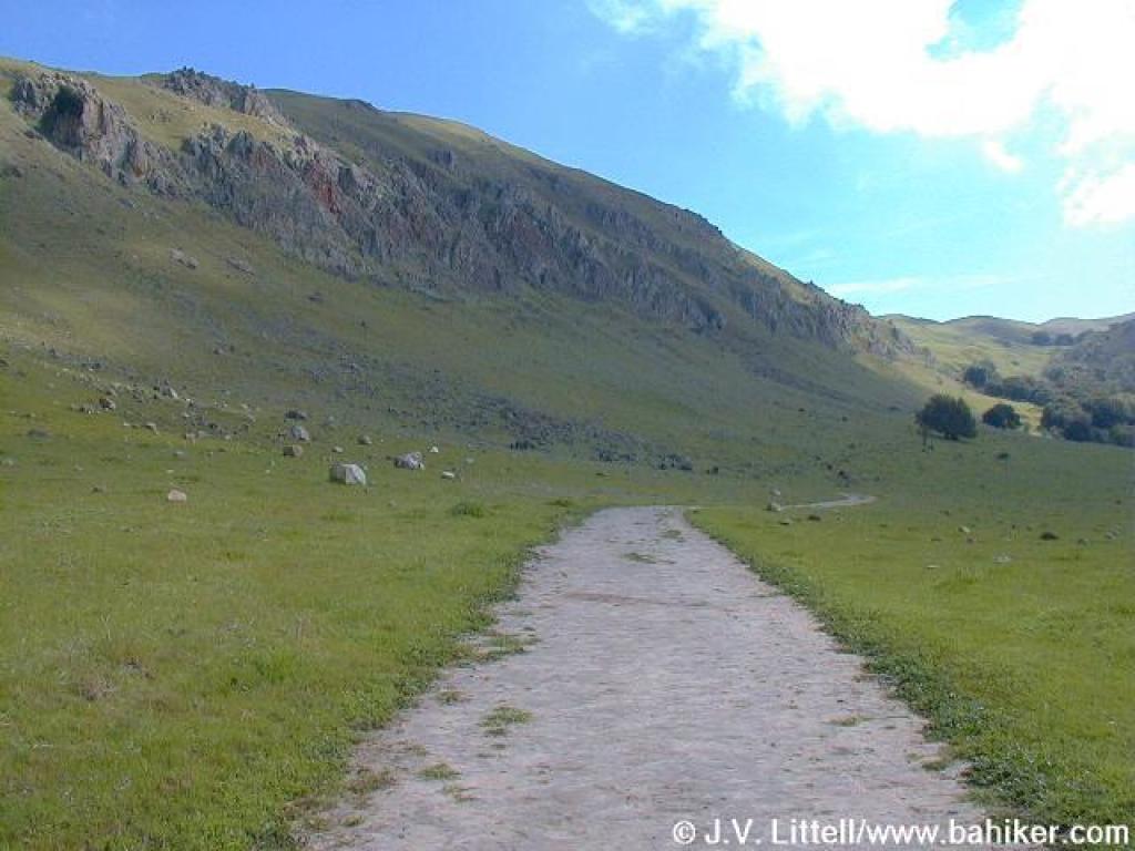
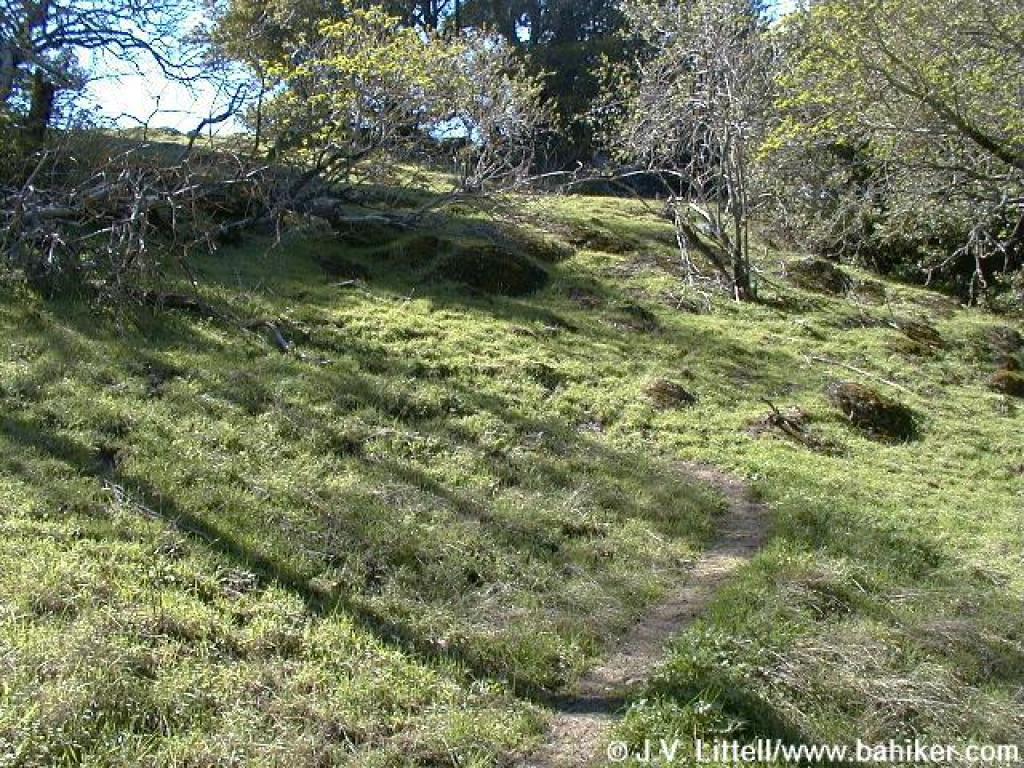
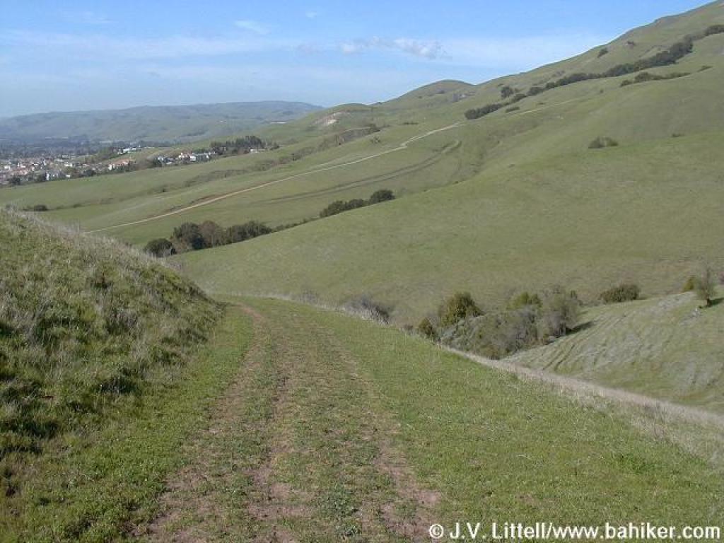
 Hidden Valley Trail |
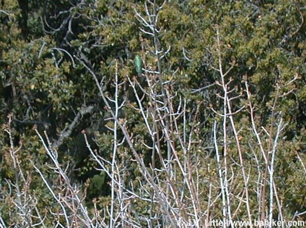 Hummingbird |
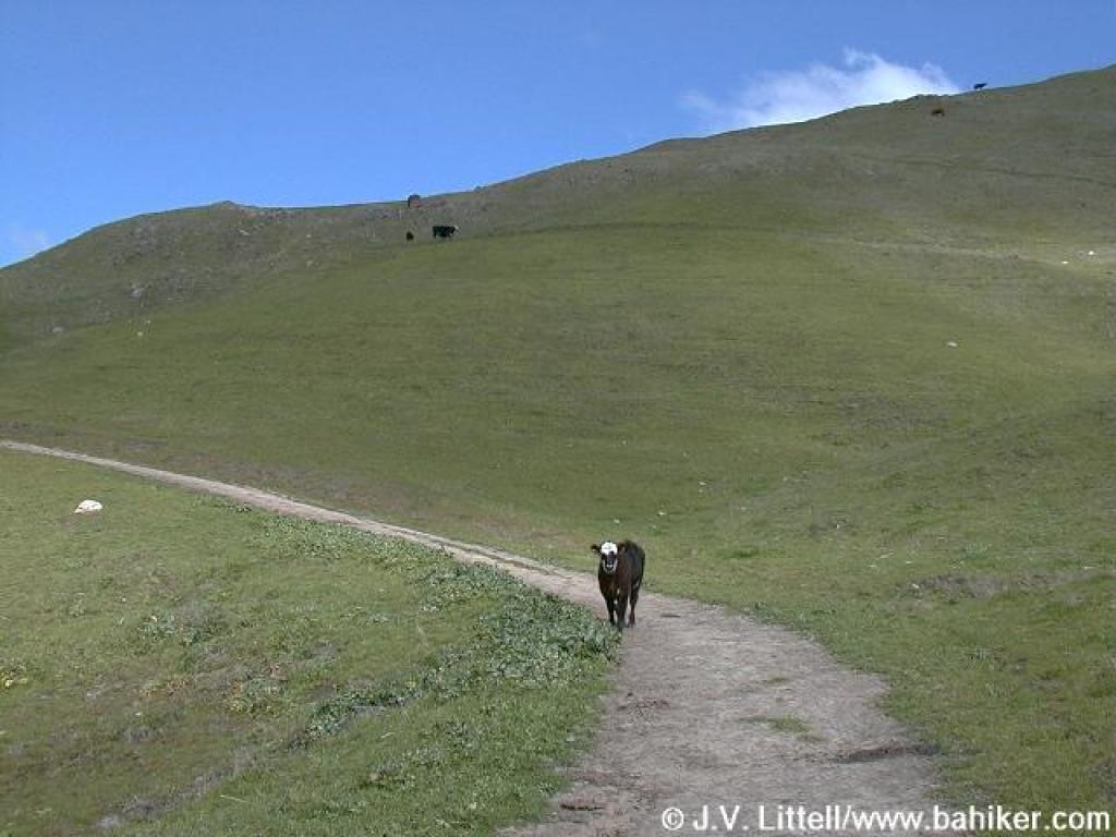
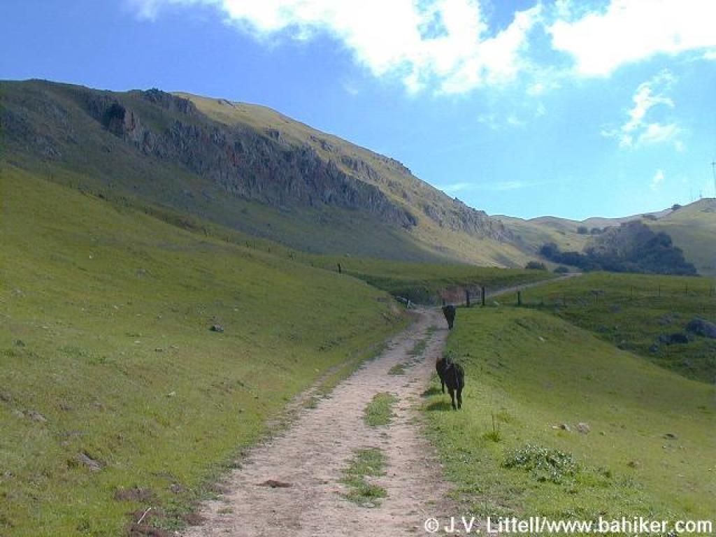
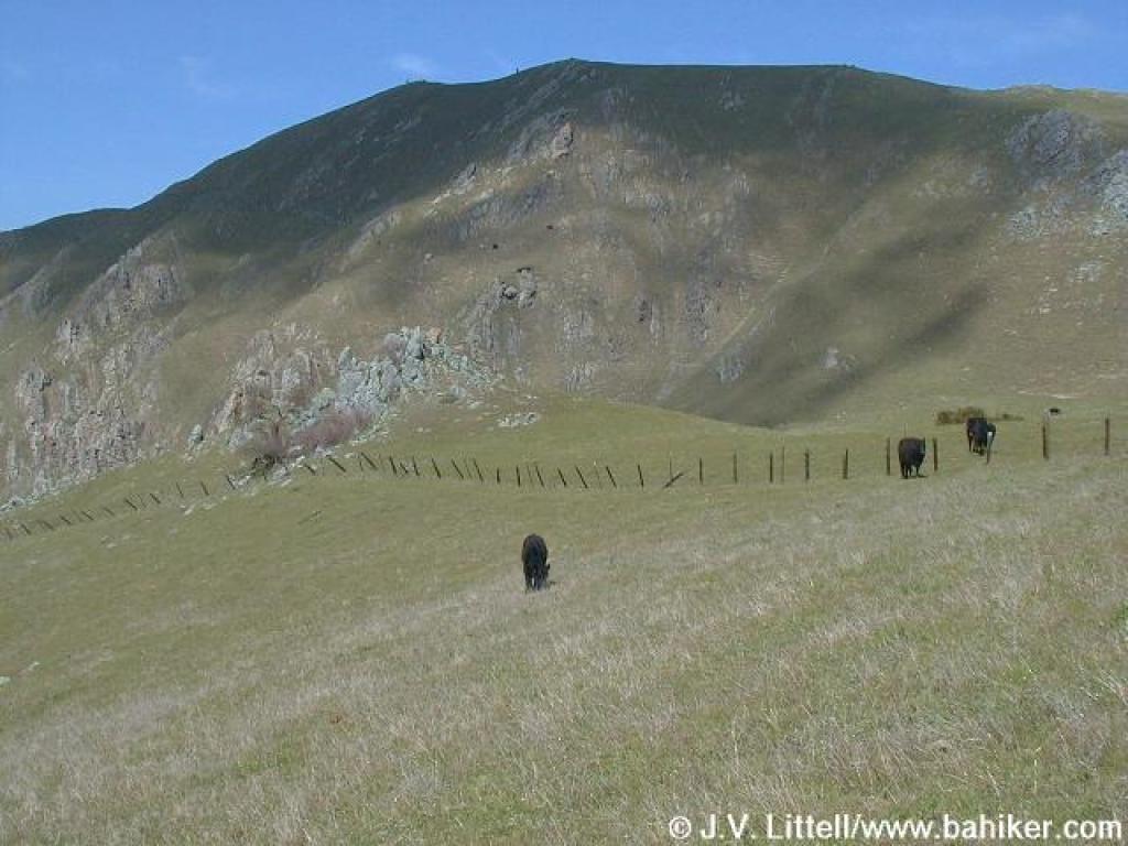
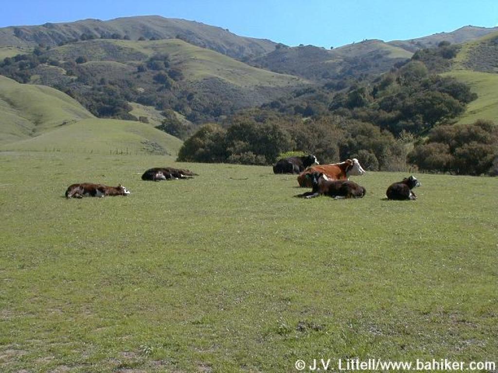 Languid cows on the side of the trail; cow temperament seems to get more nasty as you climb |
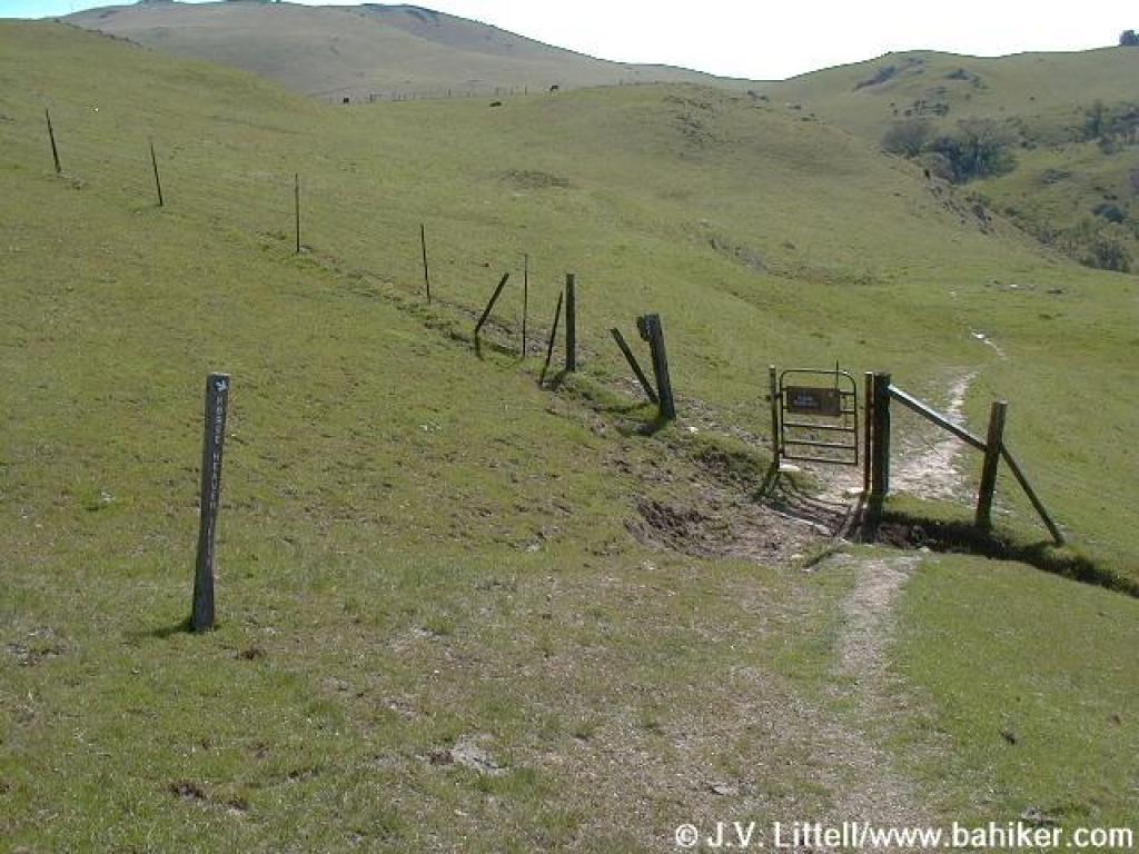
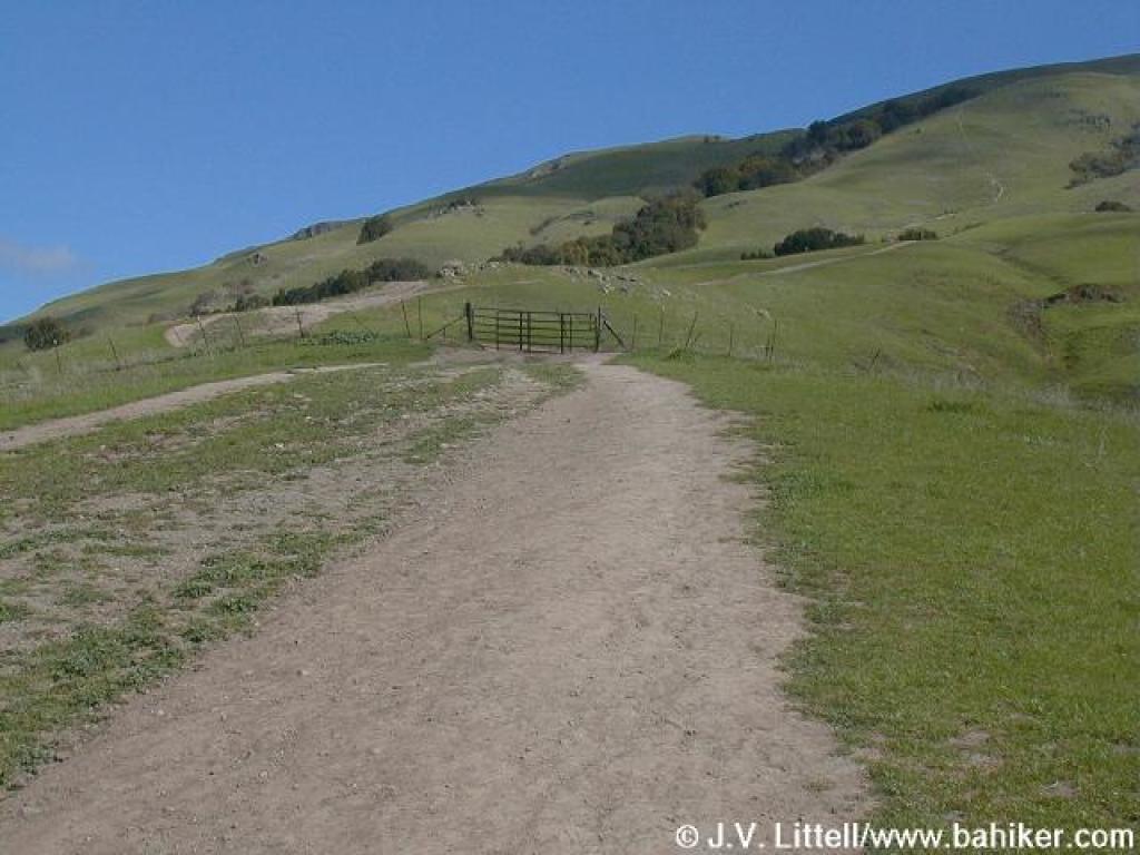 Approaching cattle gate |
||||
 The climb |
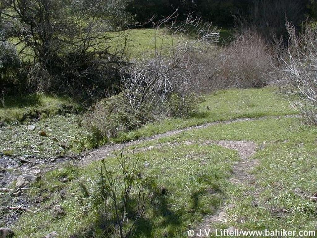
 Edging along a creek |
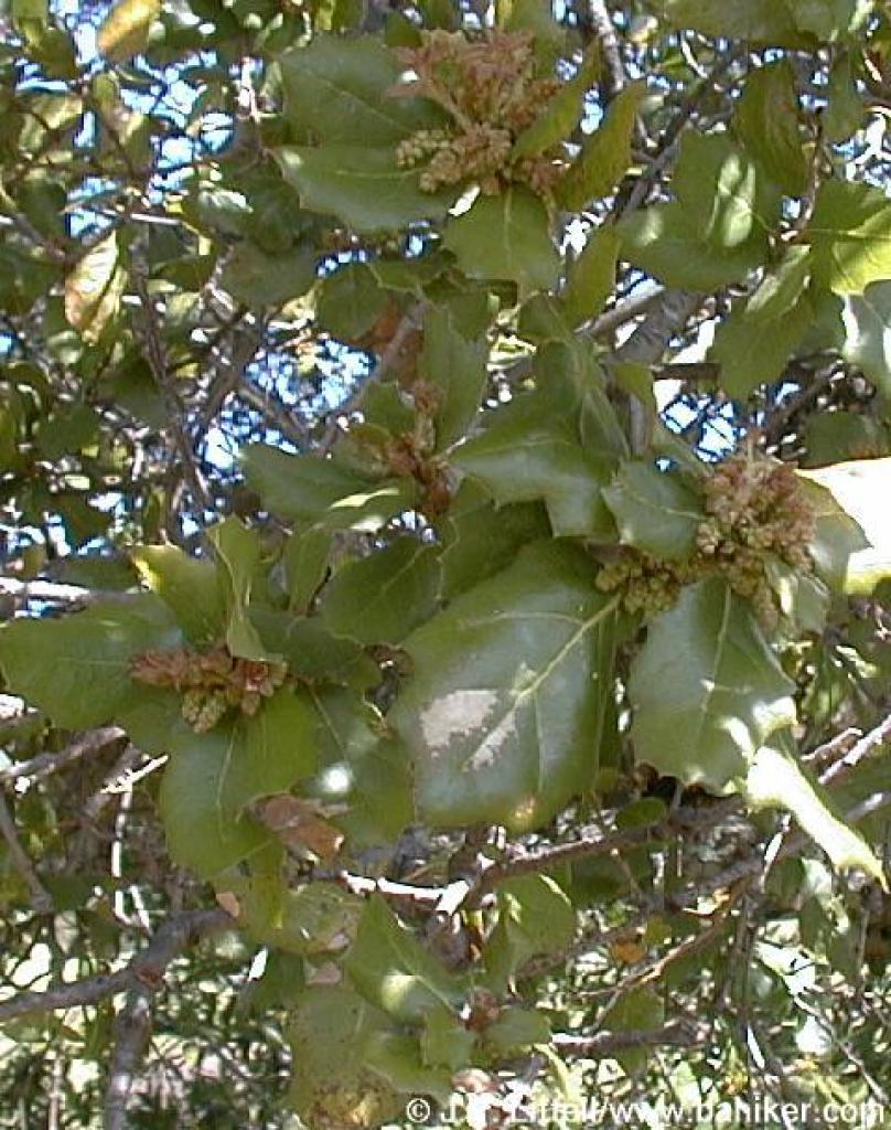 Coast live oak |
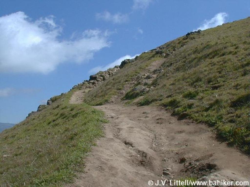
 Shortcut is visible; the trail climbs less steeply on the right |
||||
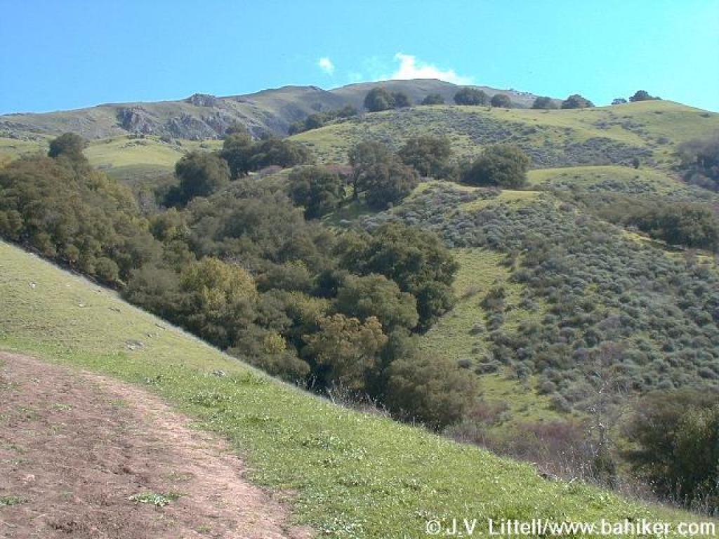 View south |
 Edging near the creek again |
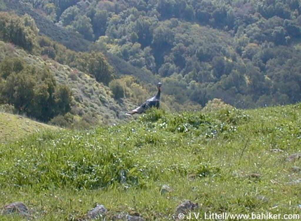 Young male turkey |
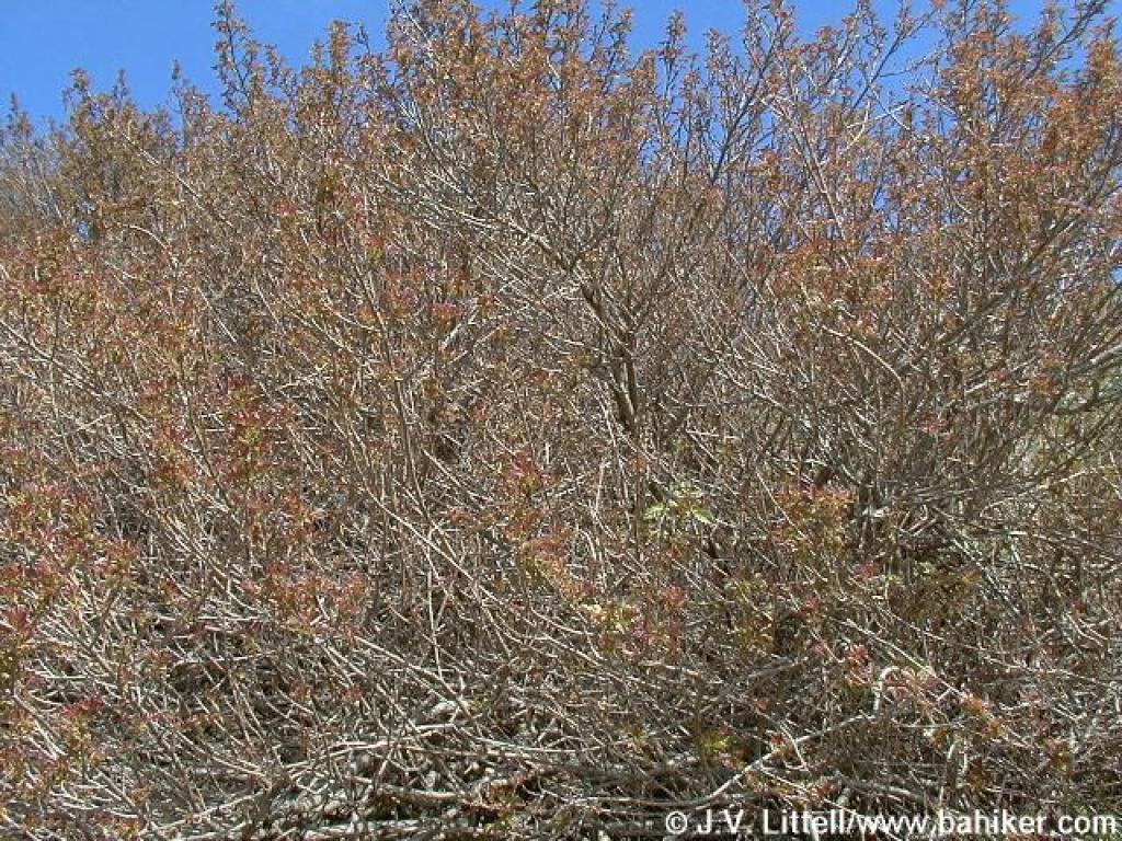
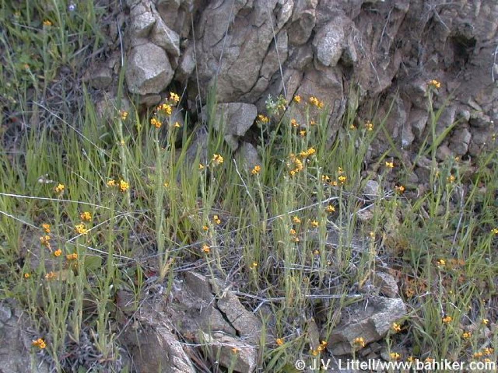
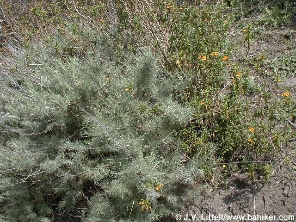 Sagebrush and monkeyflower |
||||
 Poison oak |
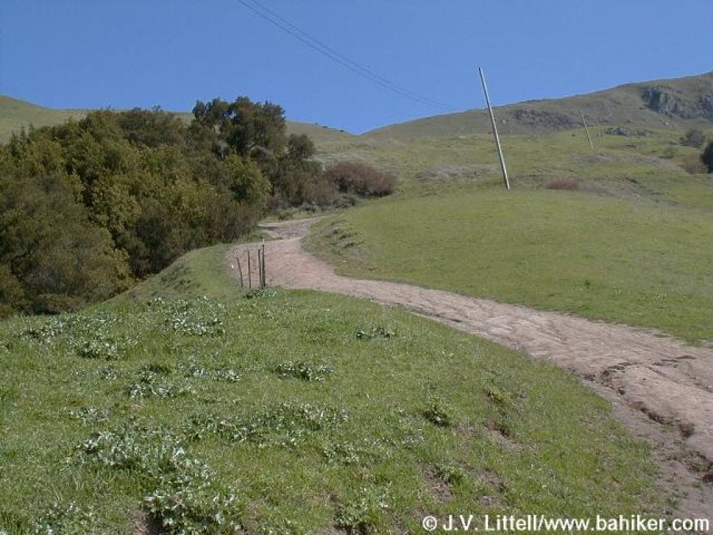
 Hidden Valley Trail |
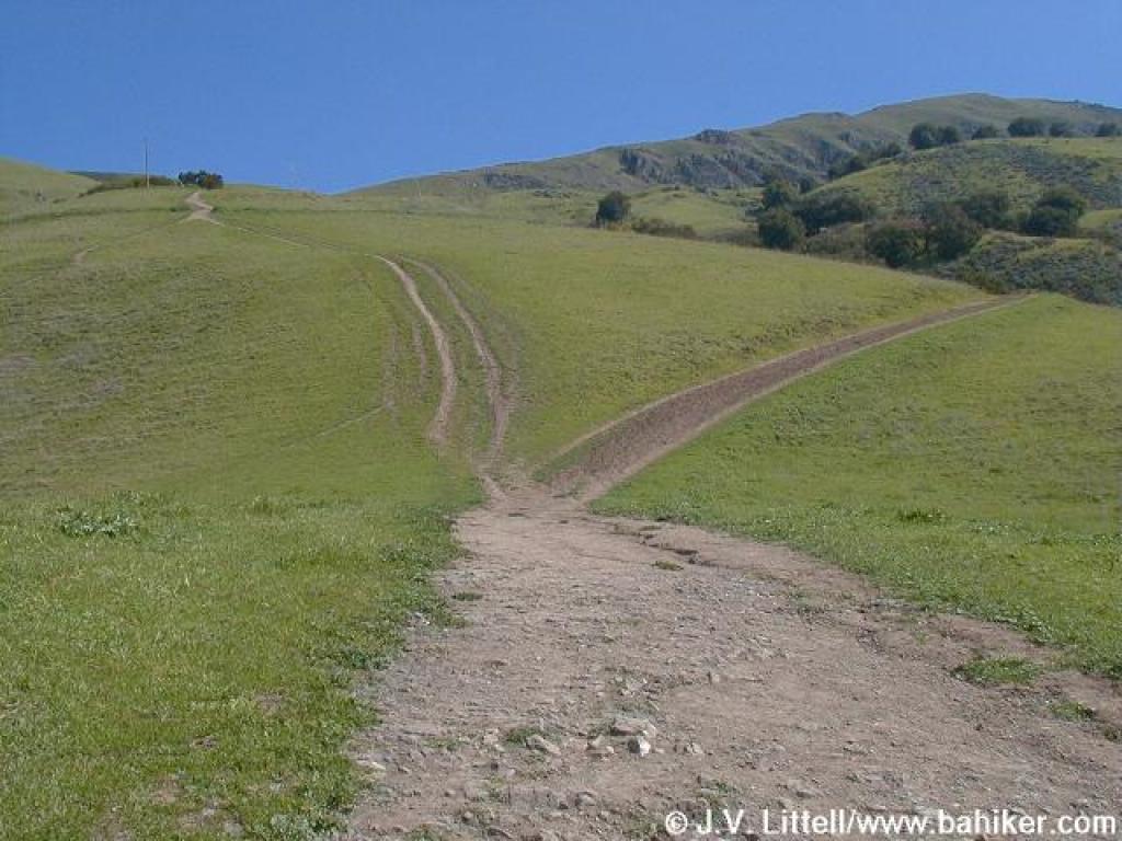
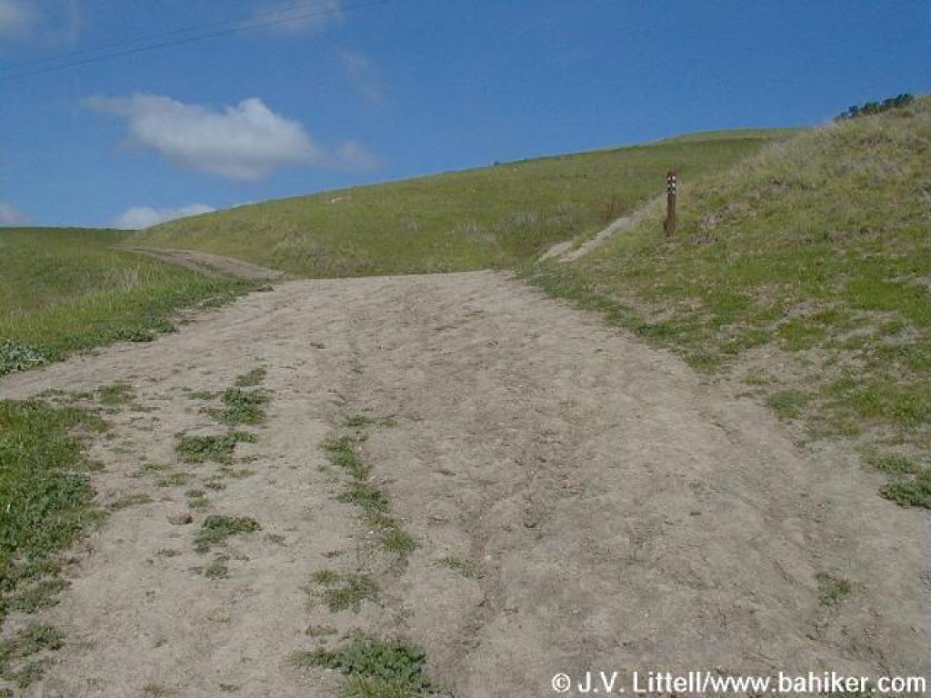 Approaching junction |
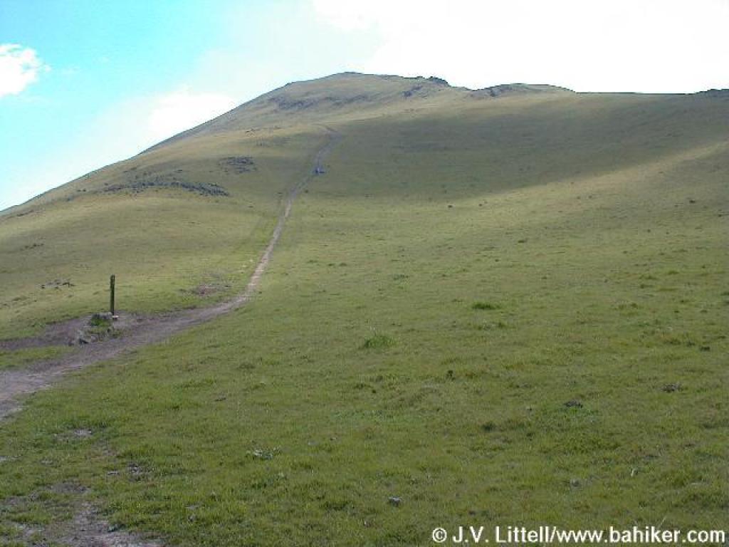
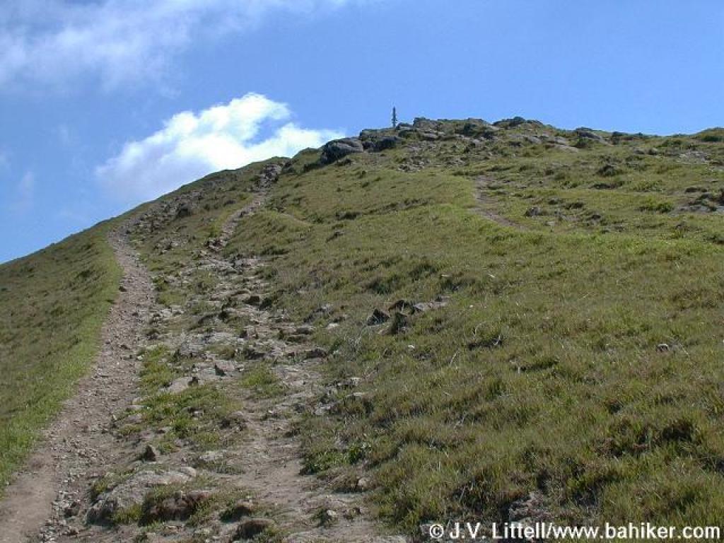
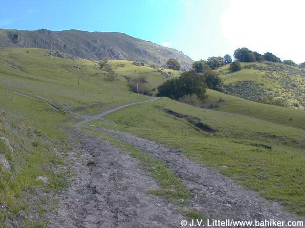 View up to the peak |
||||
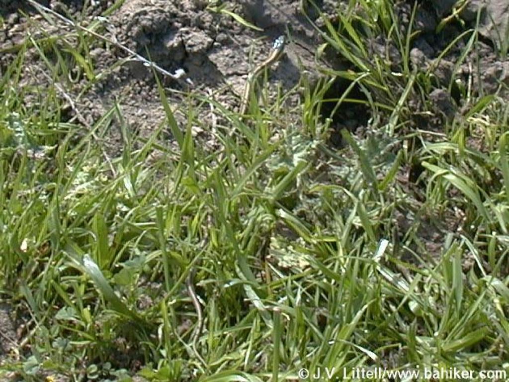 Baby snake |
 "What are you lookin' at?" |
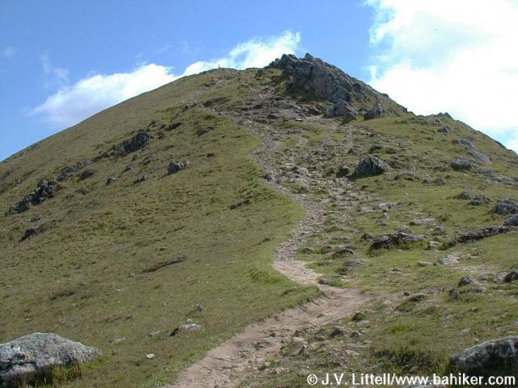
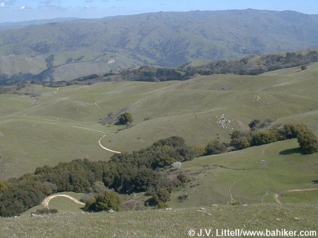
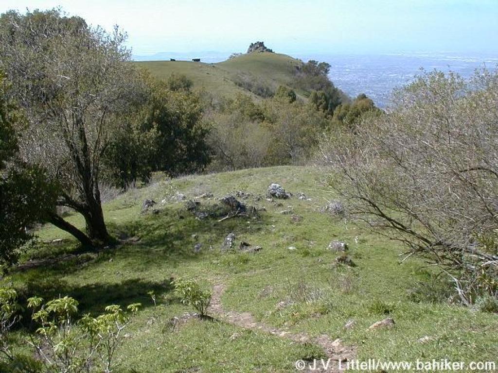
 Another nice view uphill |
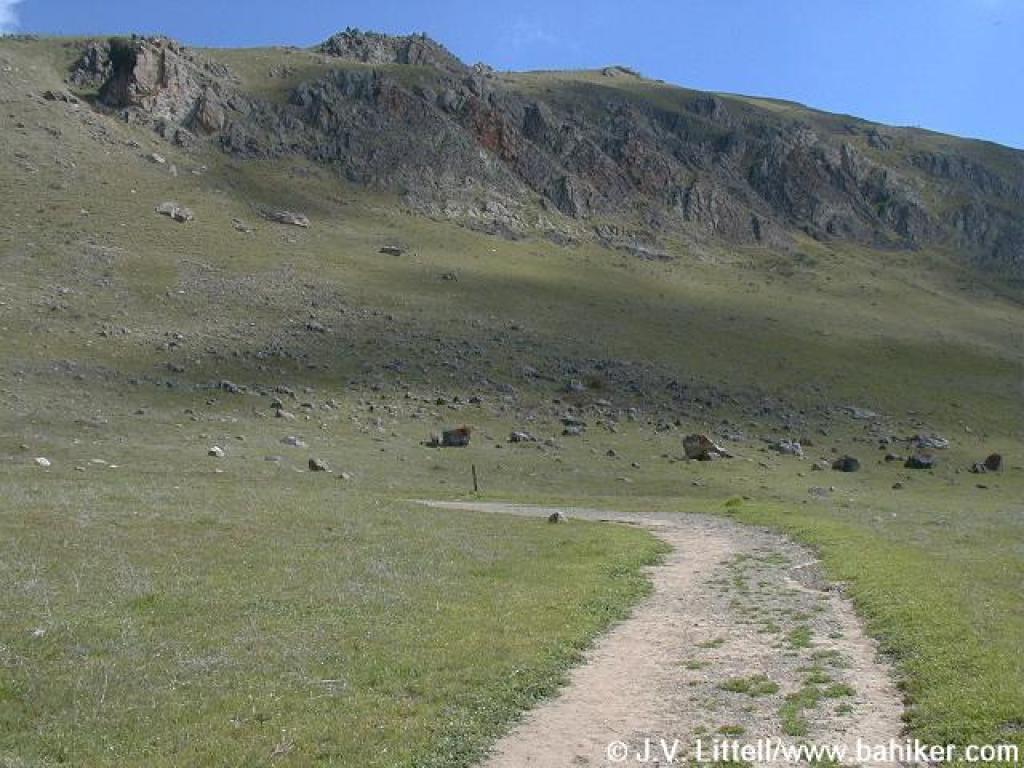
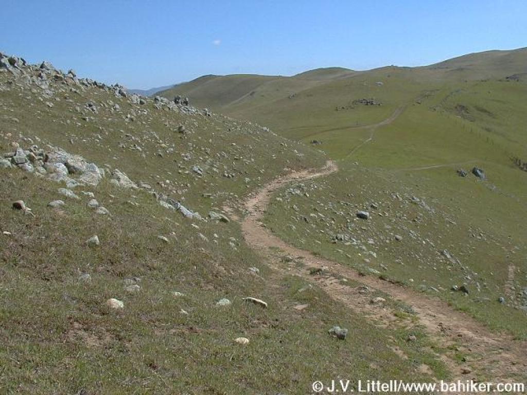
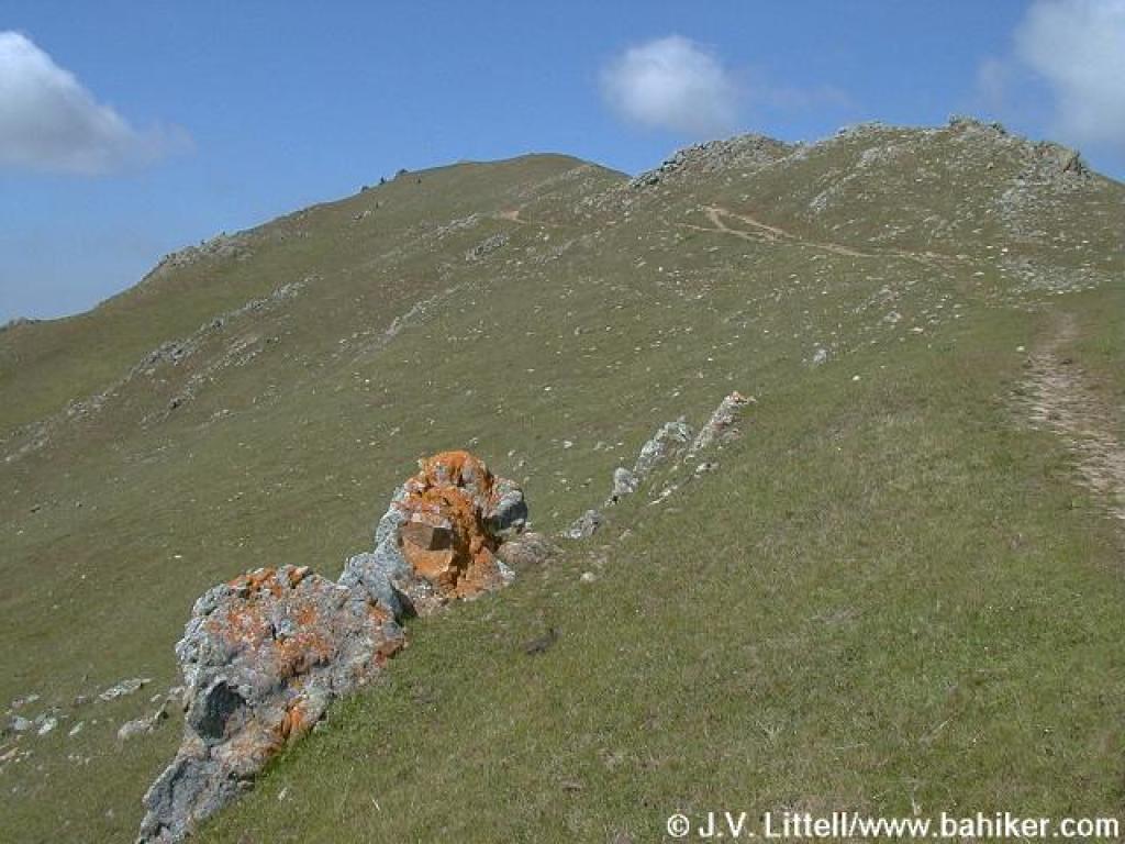
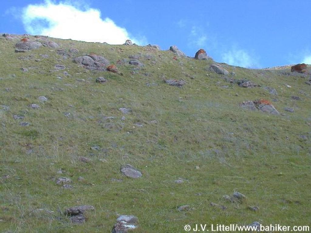 Rock-dotted hillside |
||||
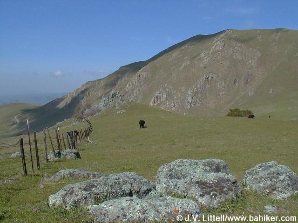
 More frisky cows along the trail |
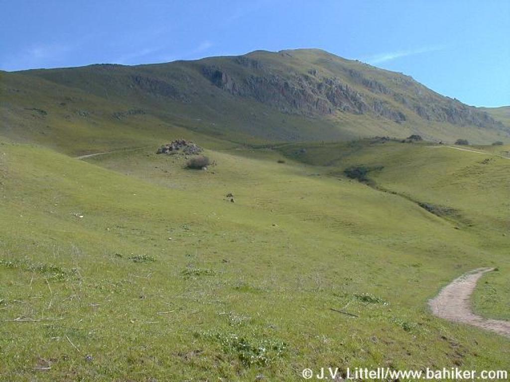
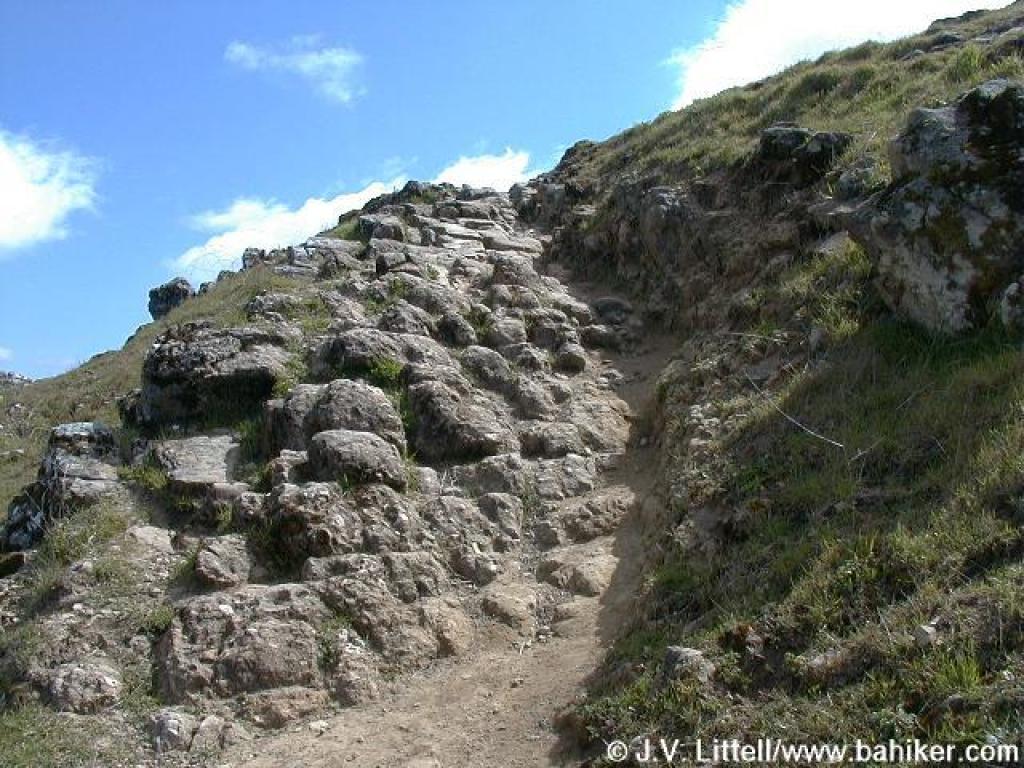
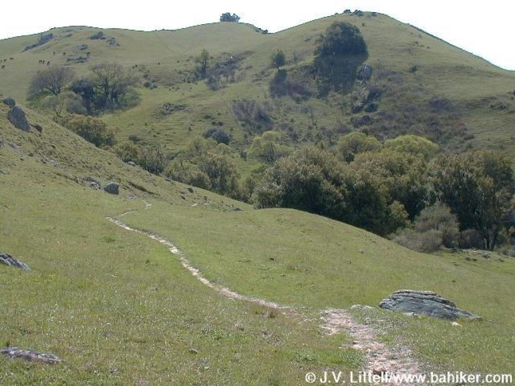
 Into rocky valley |
 Approaching junction |
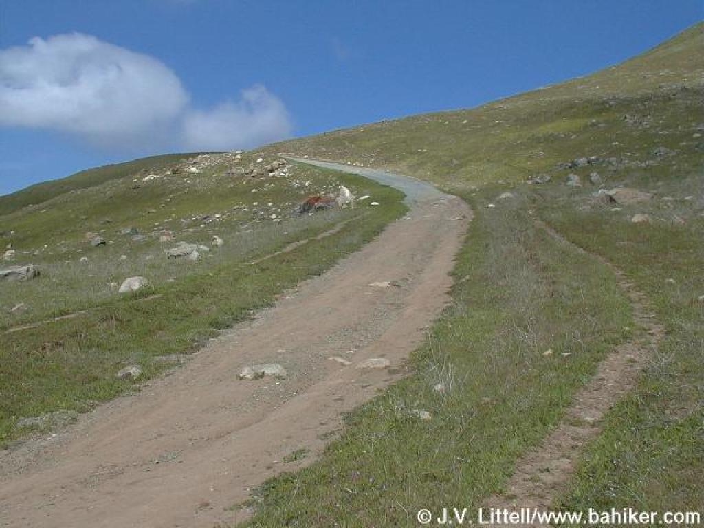 More climbing |
||||
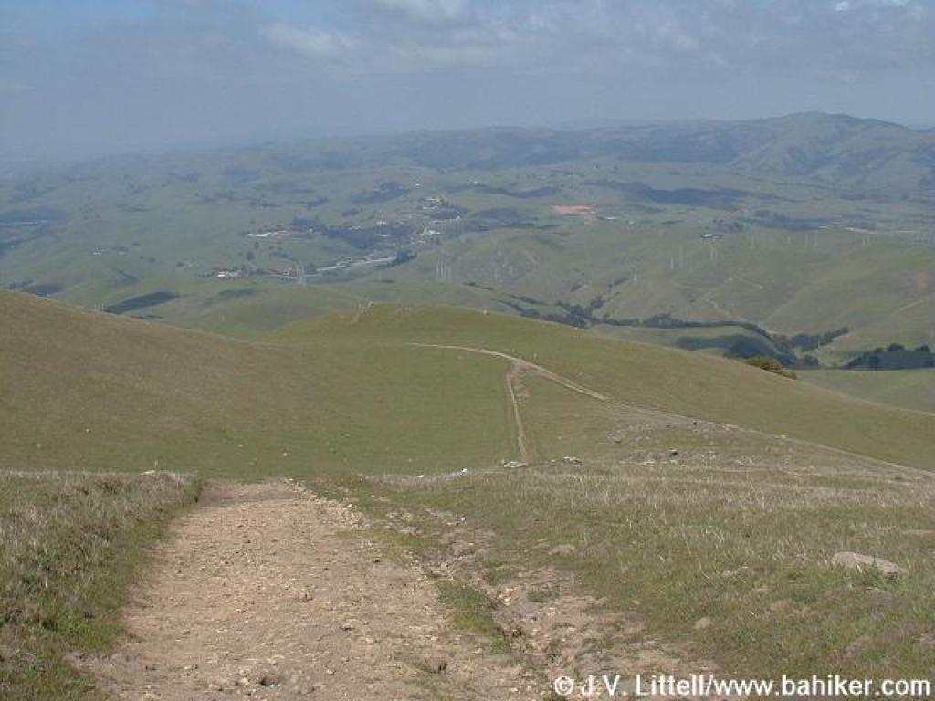
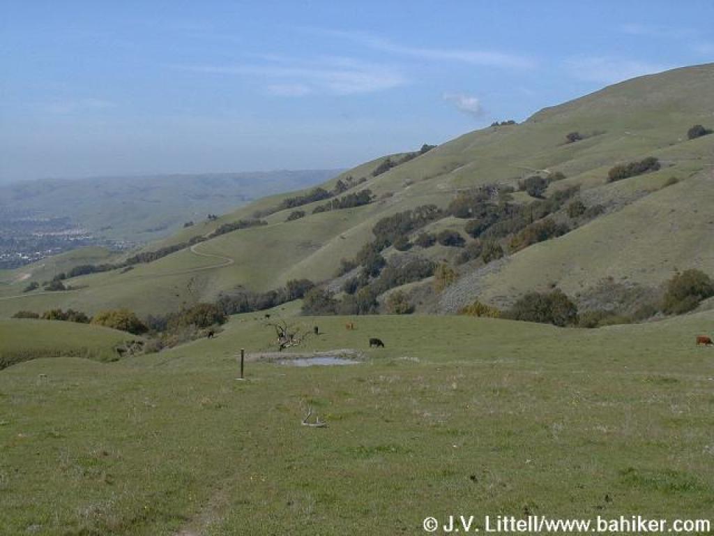
 Looking back down to the valley |
 Fiddlenecks |
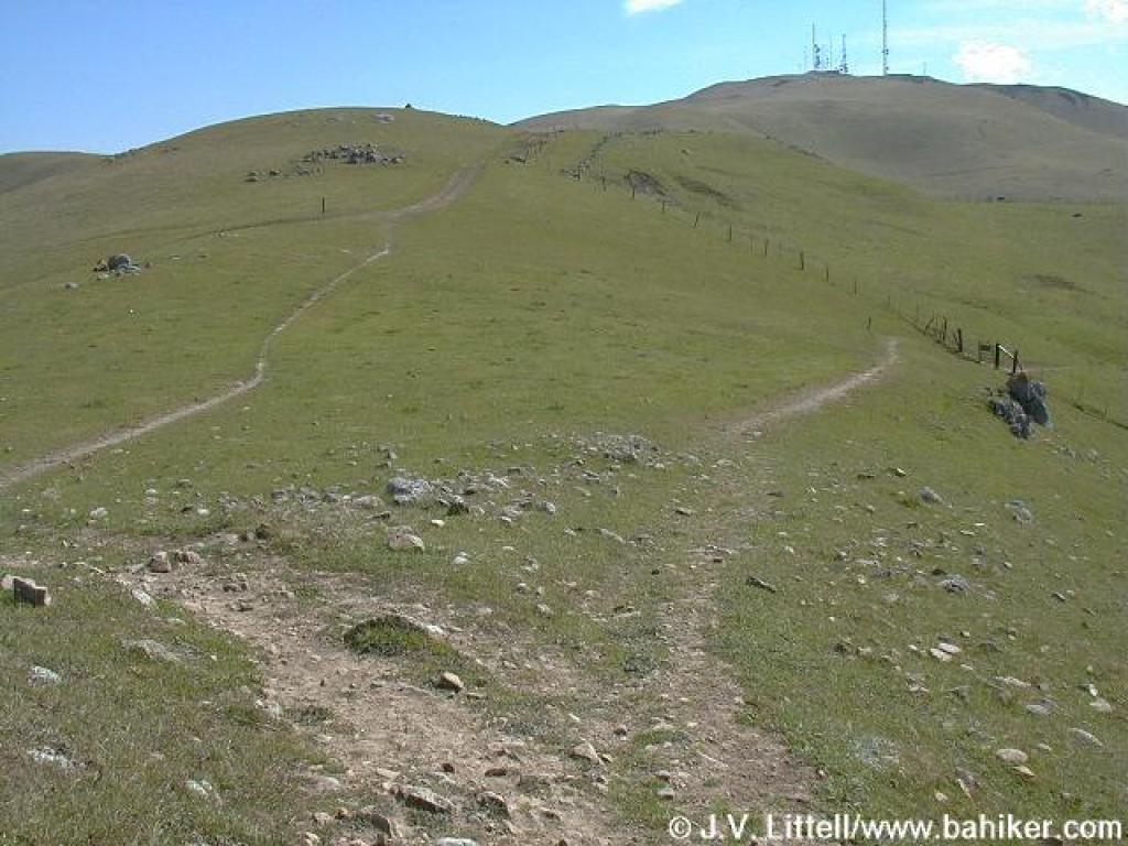
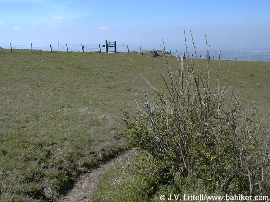
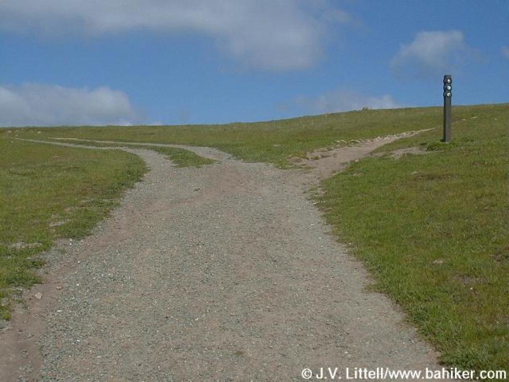 Junction |
 Approaching another gate and junction |
||||
 Approaching junction |
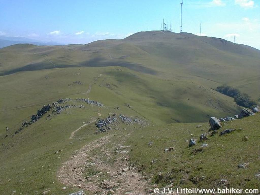
 Peak Trail |
 Looking back |
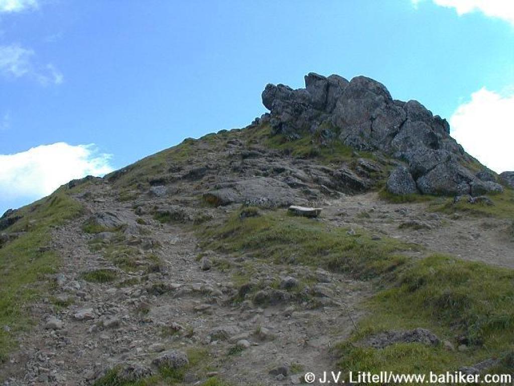
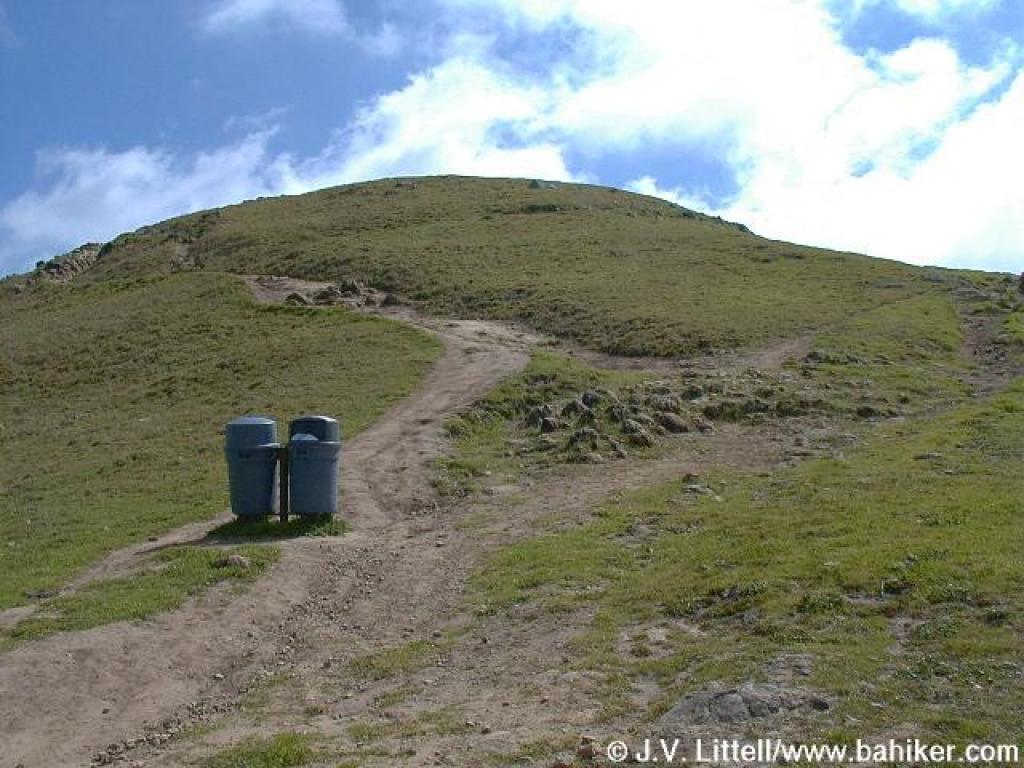 Garbage cans mark the final stretch to the summit |
||||
 Peak Trail |
 Rocky |
 Heading for the top |
 Rocks |
||||
 Last bit |
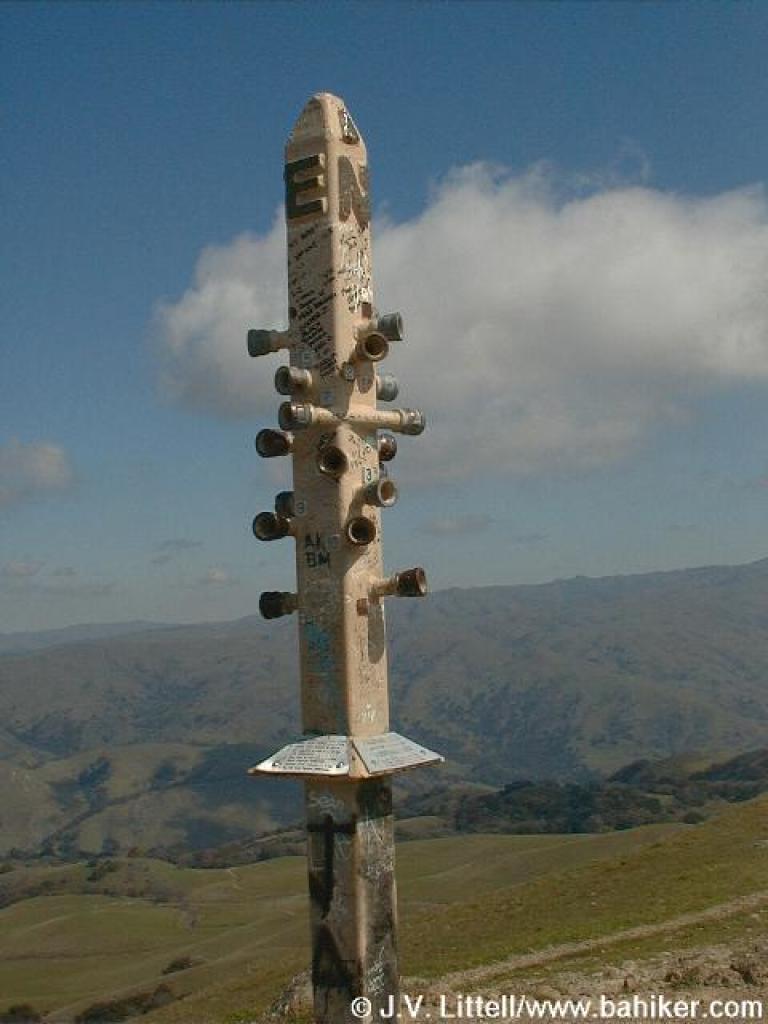 At the top |
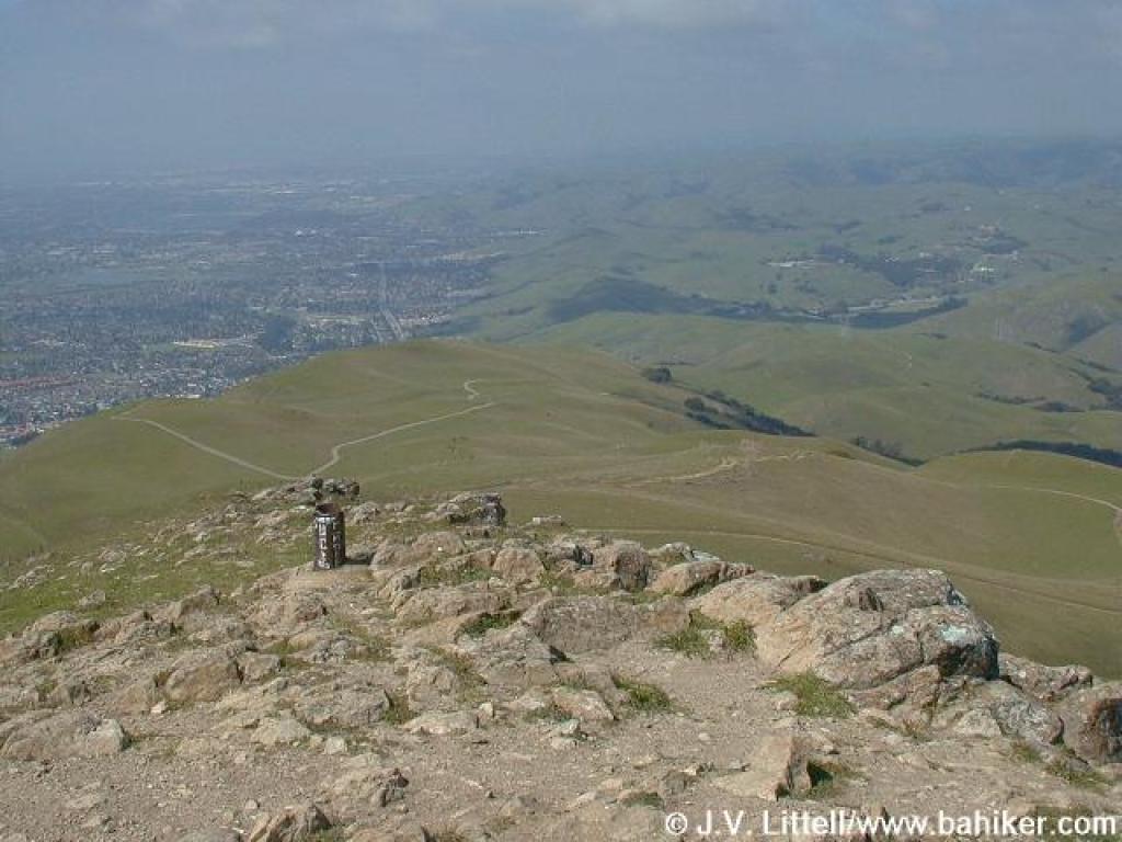 View north |
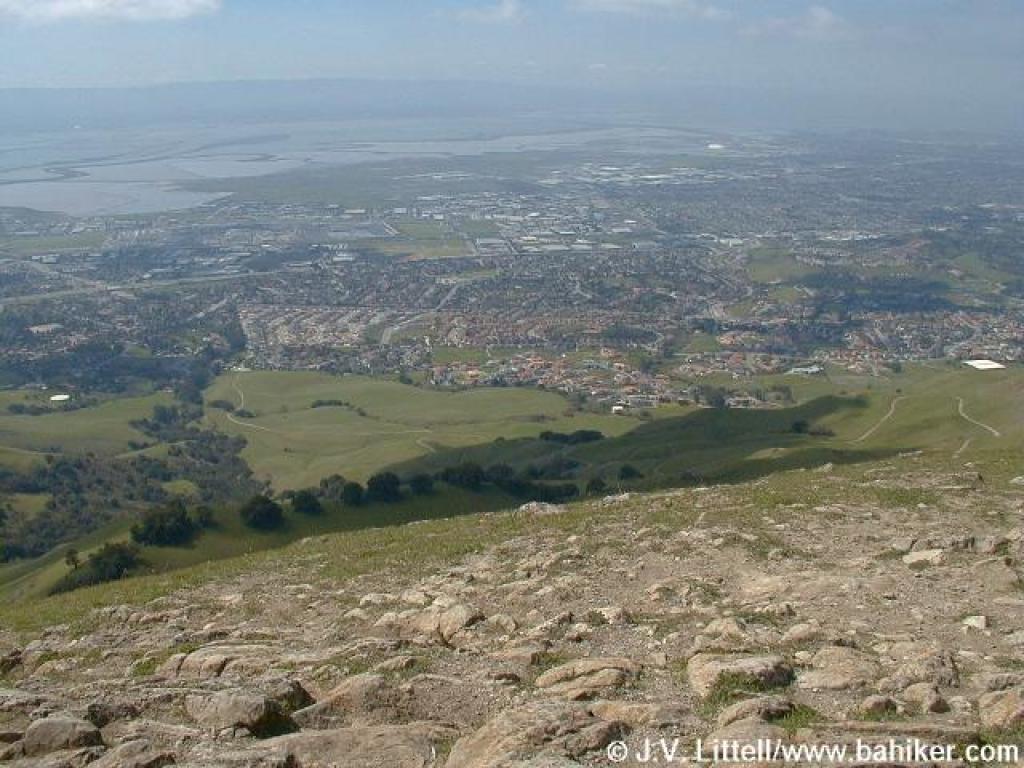
 View south |
||||
 View west |
 View east |
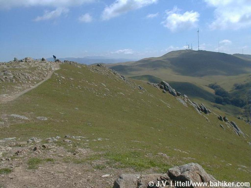
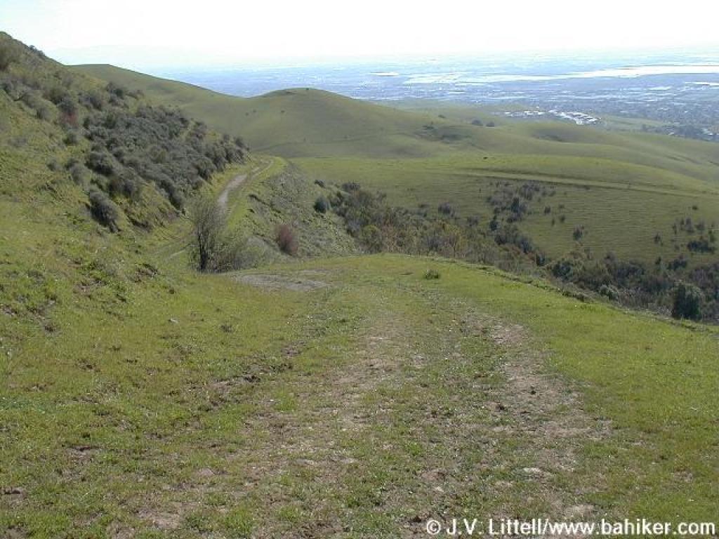
 Continuing south on Peak Trail |
 Another view east |
||||
 View west |
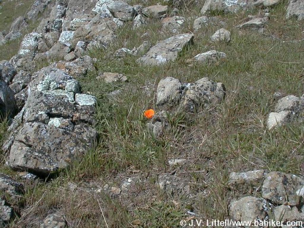 Poppy |
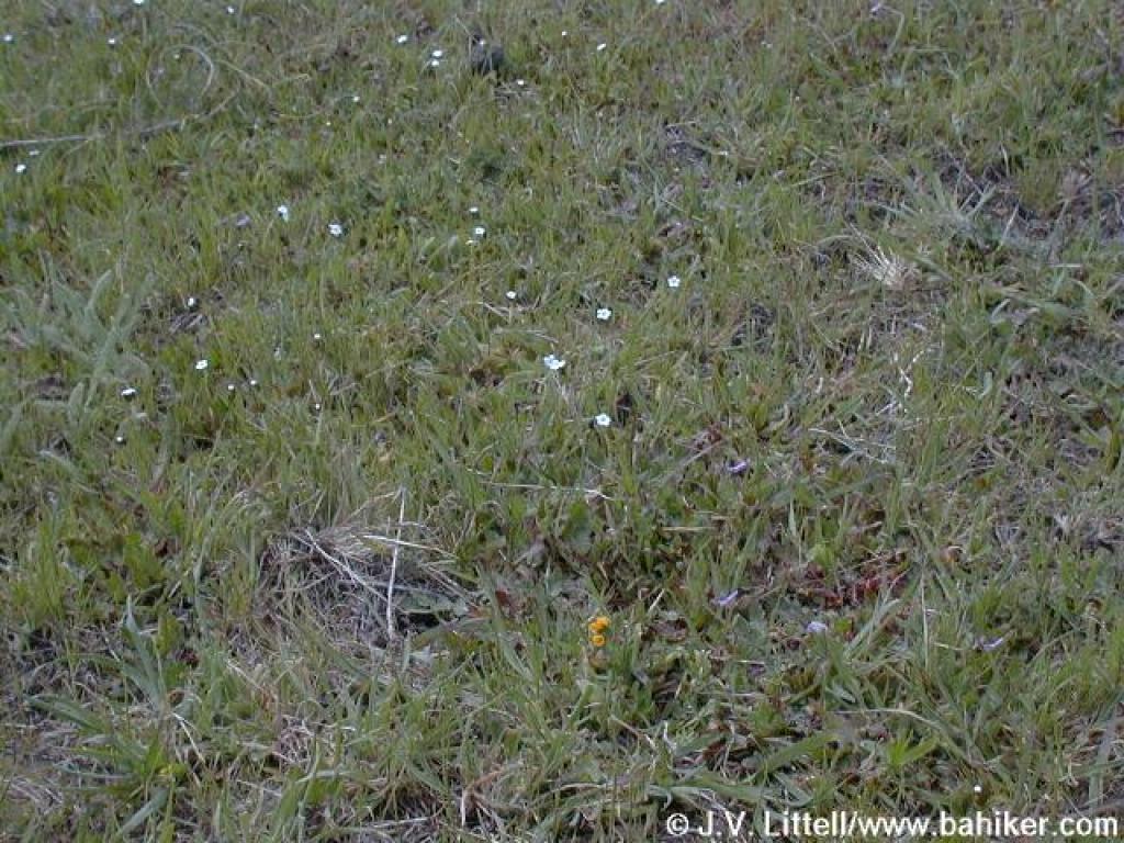 Popcorn flowers |
 Rocky trail |
||||
 Approaching junction |
 A look back |
 Horse Heaven Trail |
 Descending |
||||
 Near a creek, buckeyes and California bays thrive |
 Junction? |
 Brief ascent |
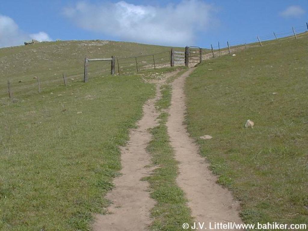
 Approaching gate |
||||
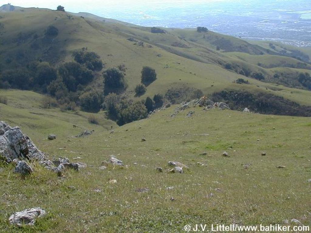
 View back uphill |
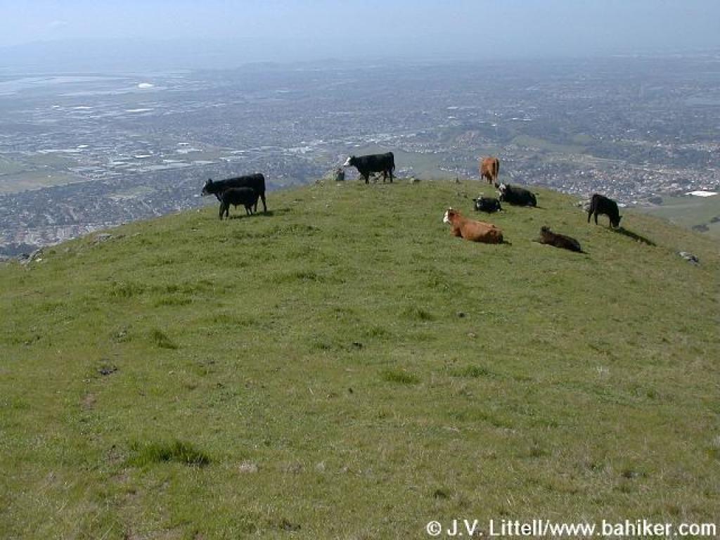
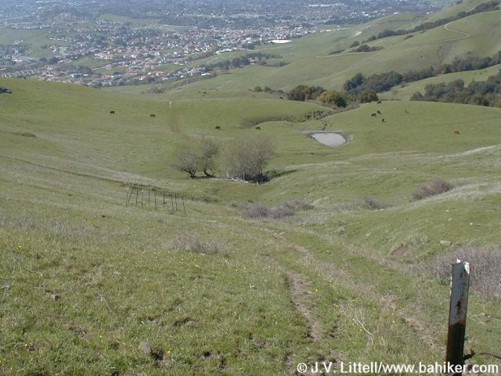
 If you look carefully, you might see cows precariously perched on the peak's steep face. Crazy! |
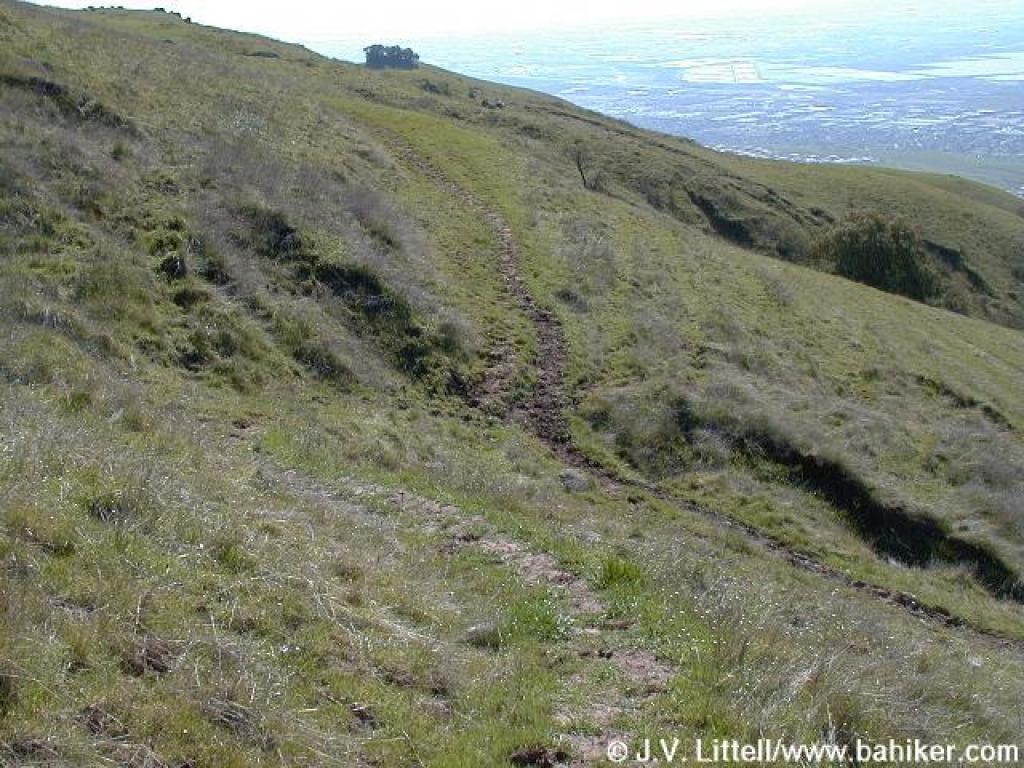
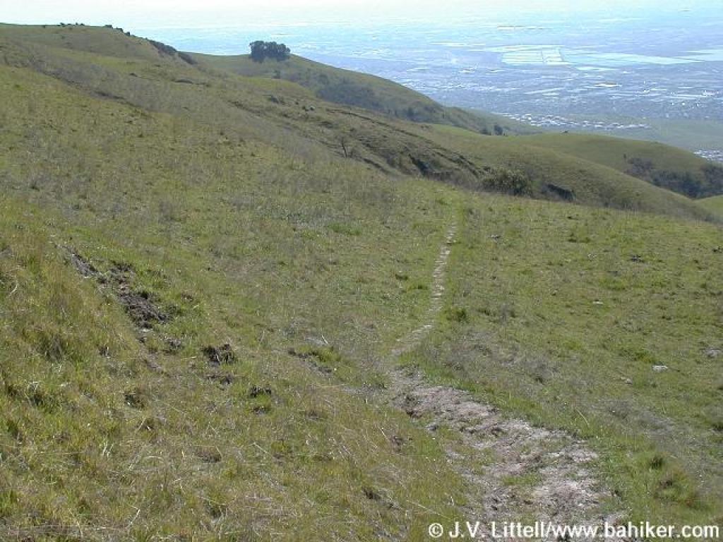 Trail is hard to follow |
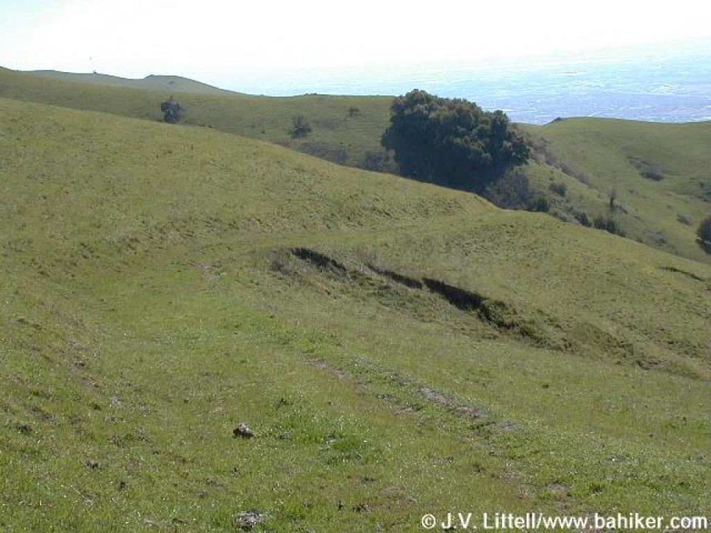
 Trail splits; not on map and created by cow traffic. Bear left. |
||||
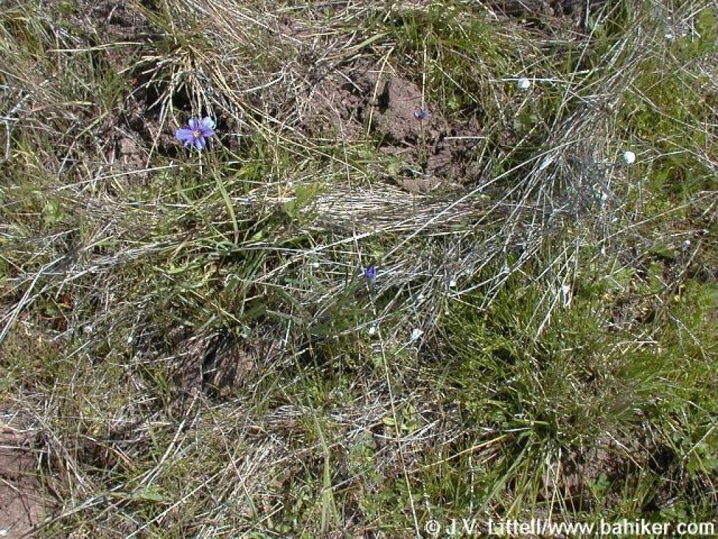 Blue-eyed grass |
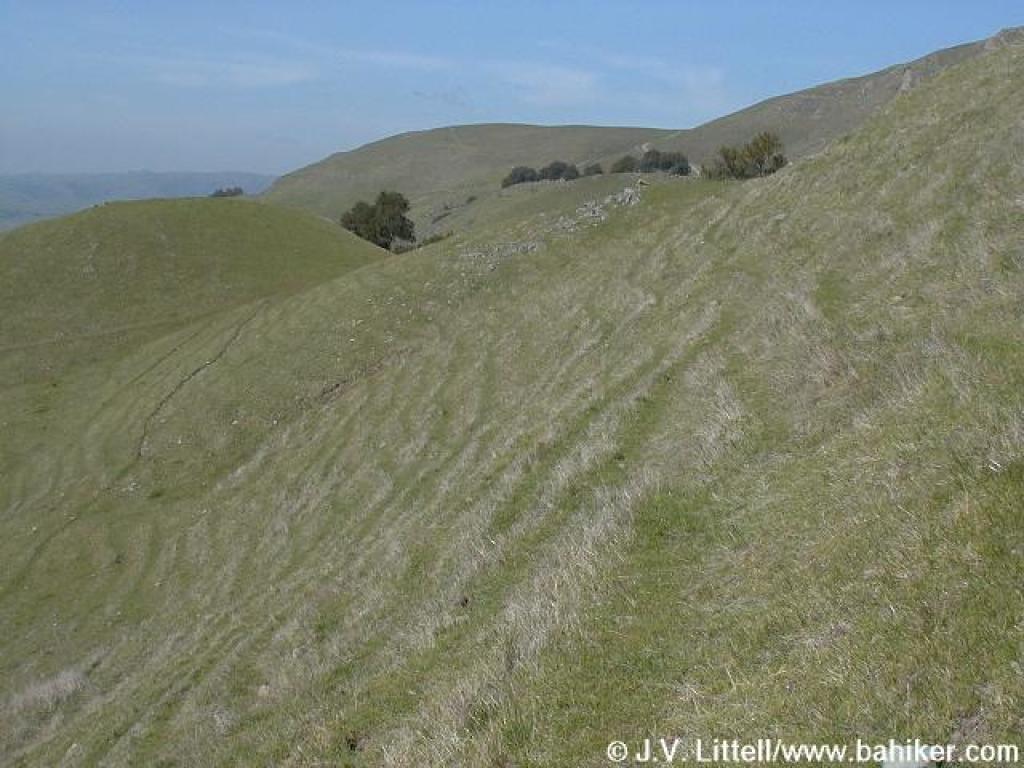
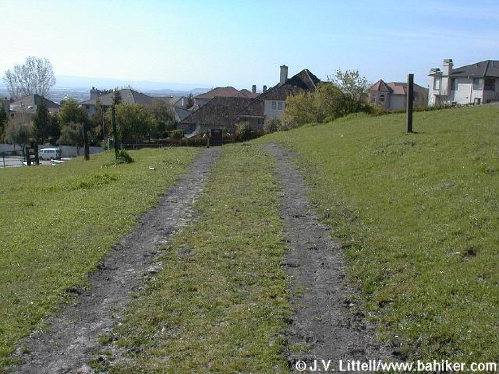
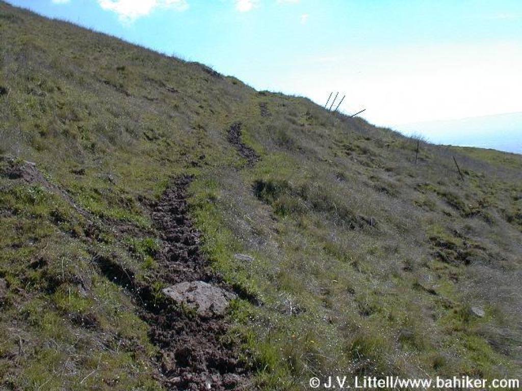 Rutted muddy trail. Damn cows. |
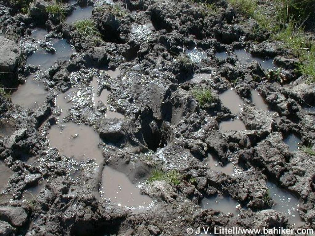 This is the muddy hellhole where I got stuck. Luckily I eventually freed myself before the cows got me. |
 Again the trail is hard to follow |
||||
 I'm not sure it's the trail, but at least it's not muddy. |
 Here I'm totally off course, but I no longer care because it's not muddy and I'm still descending. |
 Back on track, Peak Meadow Trail is visible |
 Approaching junction |
||||
 Peak Meadow Trail |
 Descending |
 Peak Meadow Trail |
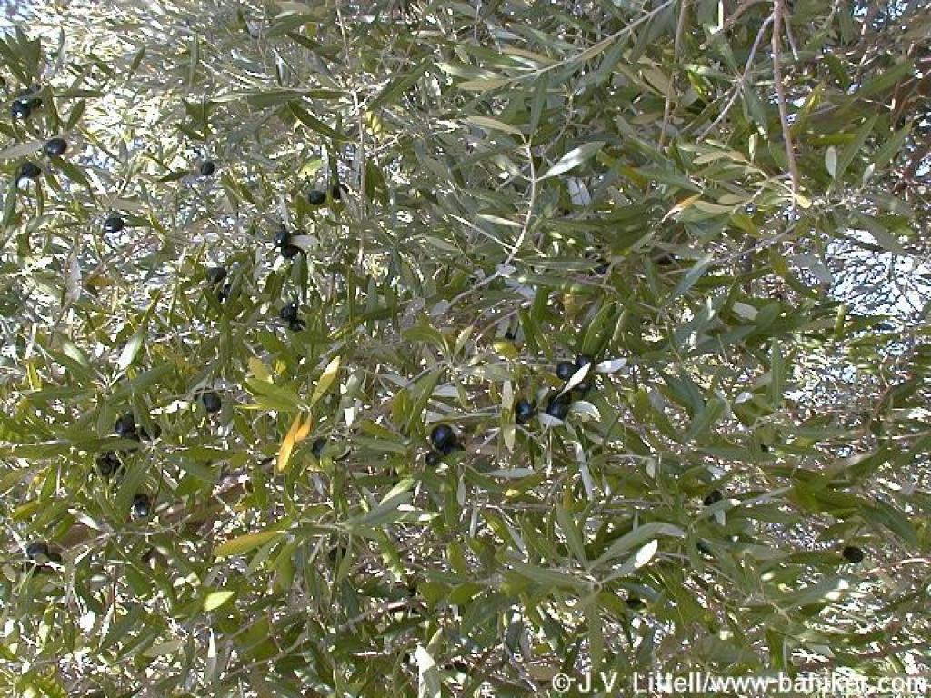 Olive tree |
||||
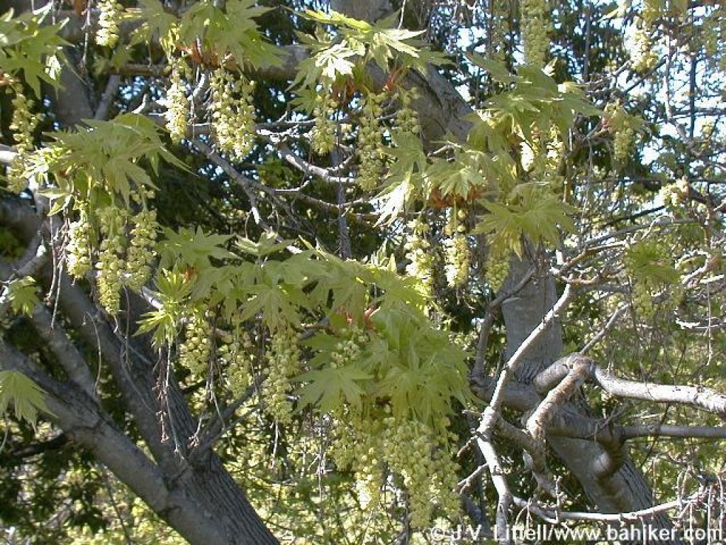 New maple leaves |
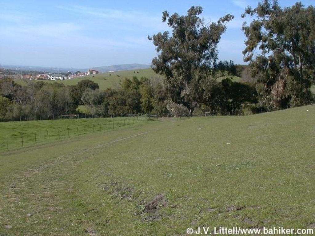
 Junction and return to trailhead |
Go to Bay Area Hiker Mission Peak page Go to Bay Area Hiker Home page |
|||||