| Photos from a March
2001 hike at Garin/Dry Creek Pioneer Regional Park (click on any image for a larger view) |
|||||||
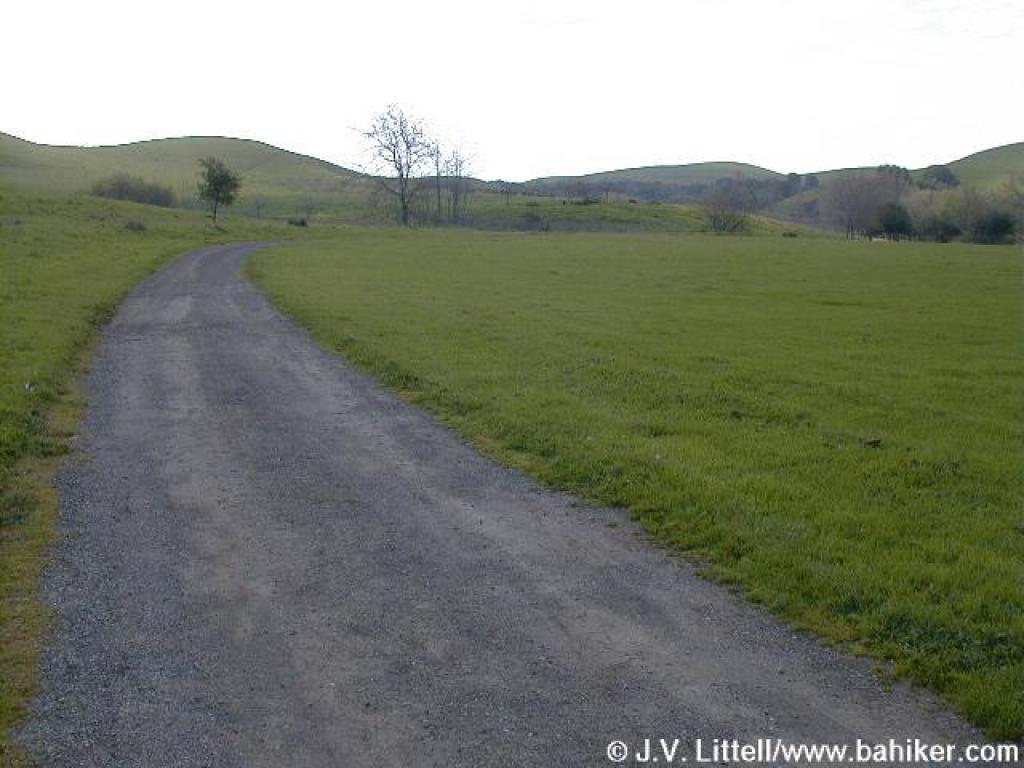
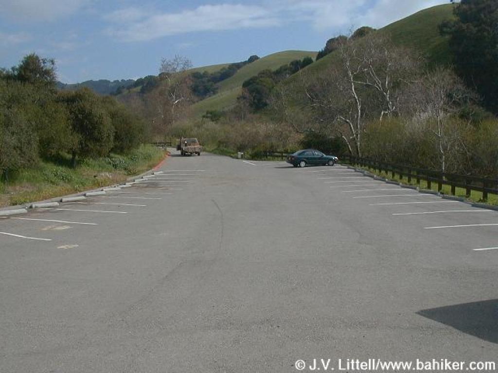 Parking lot |
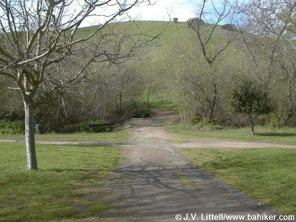
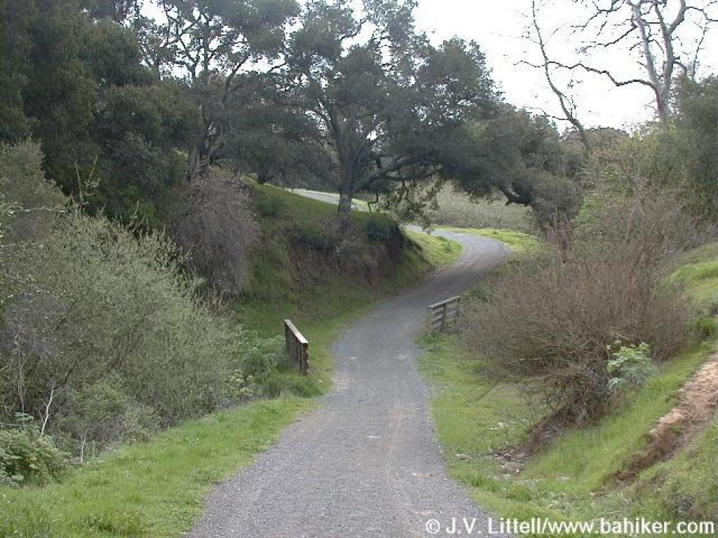
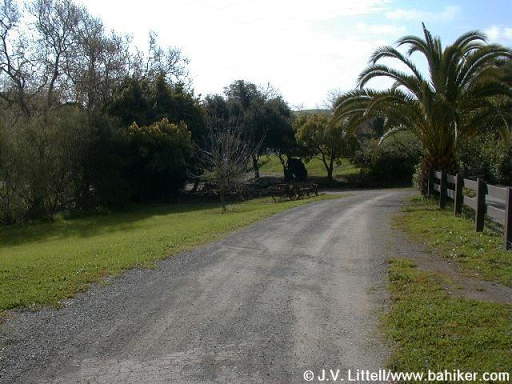 Path to Visitor Center |
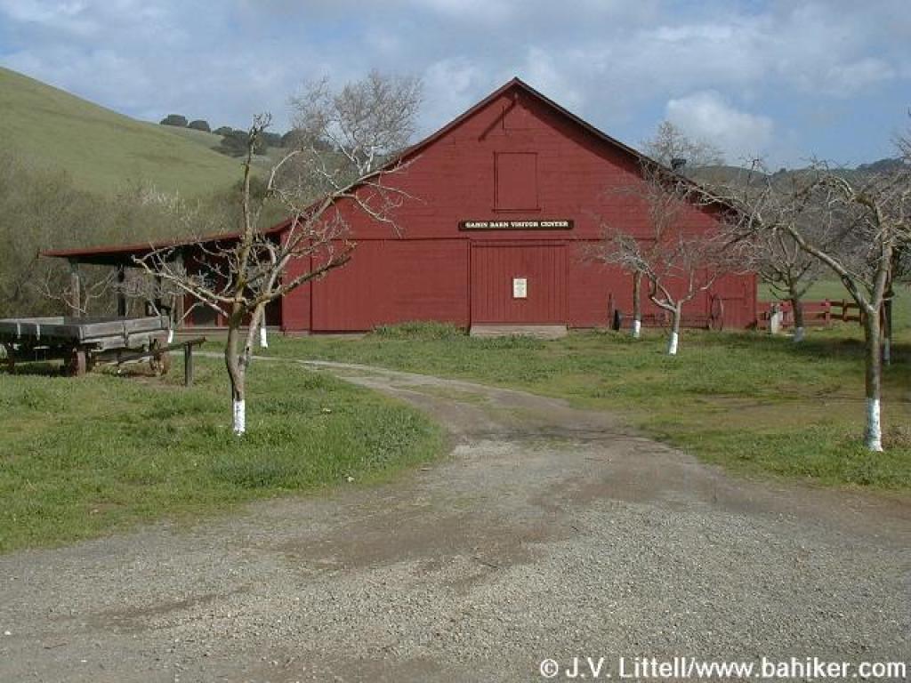 Visitor Center |
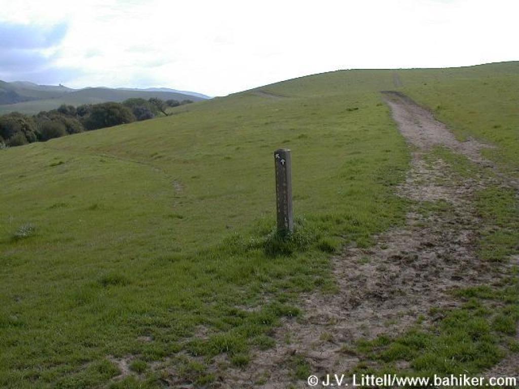
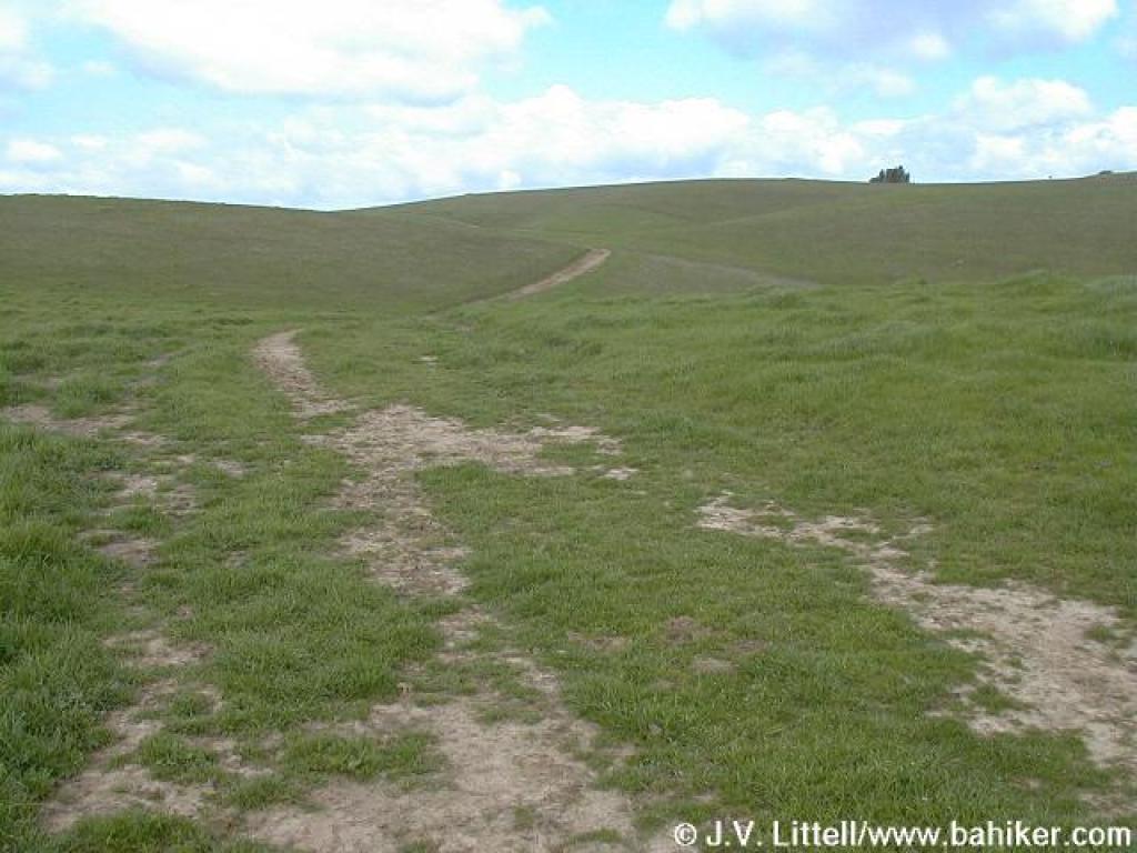
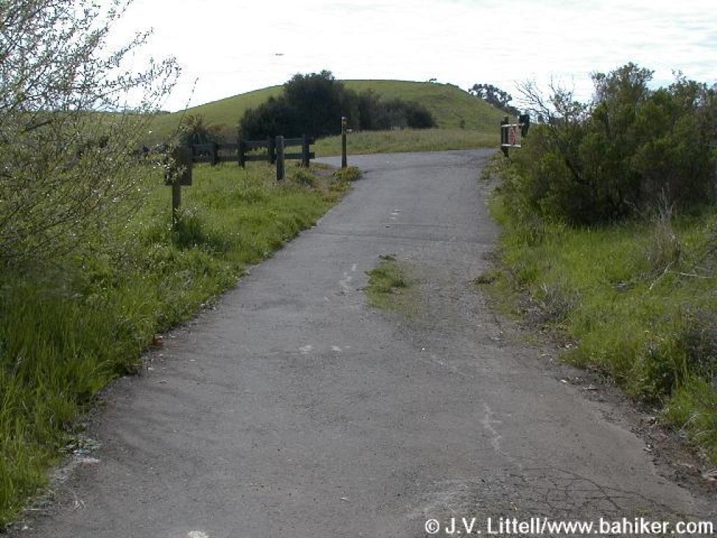
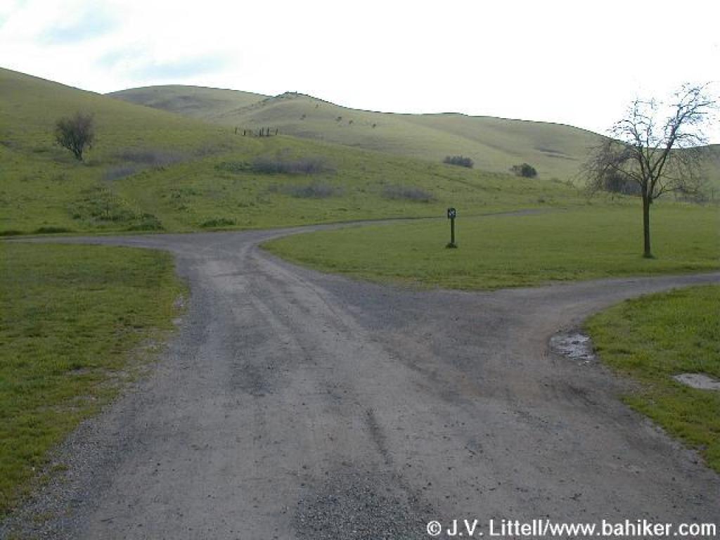 Junction |
||||
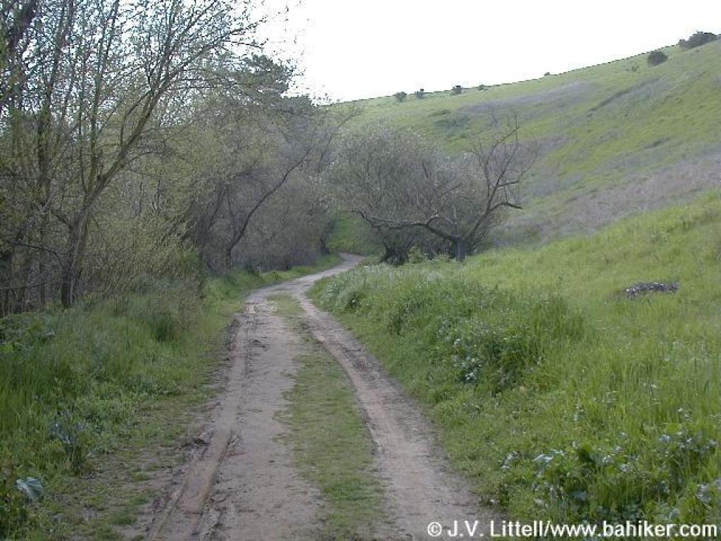
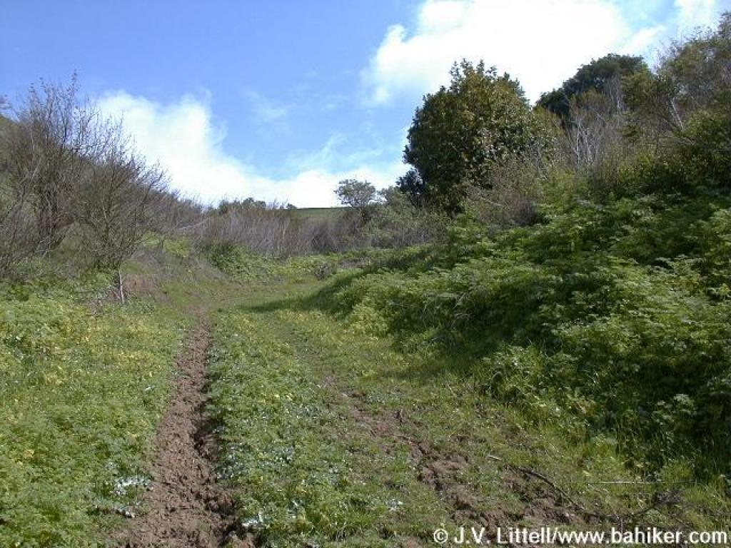
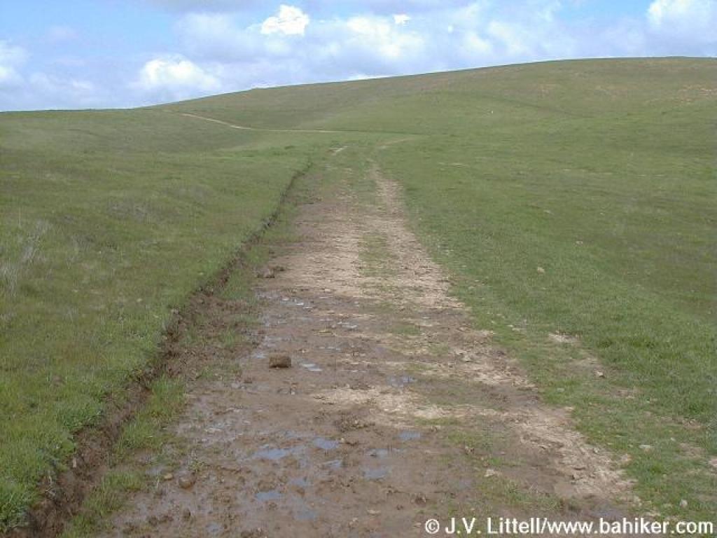
 Trail |
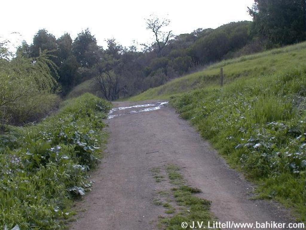
 Crossover |
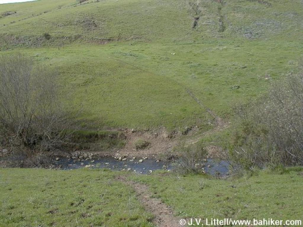
 Trail at pond's edge |
 Junction |
||||
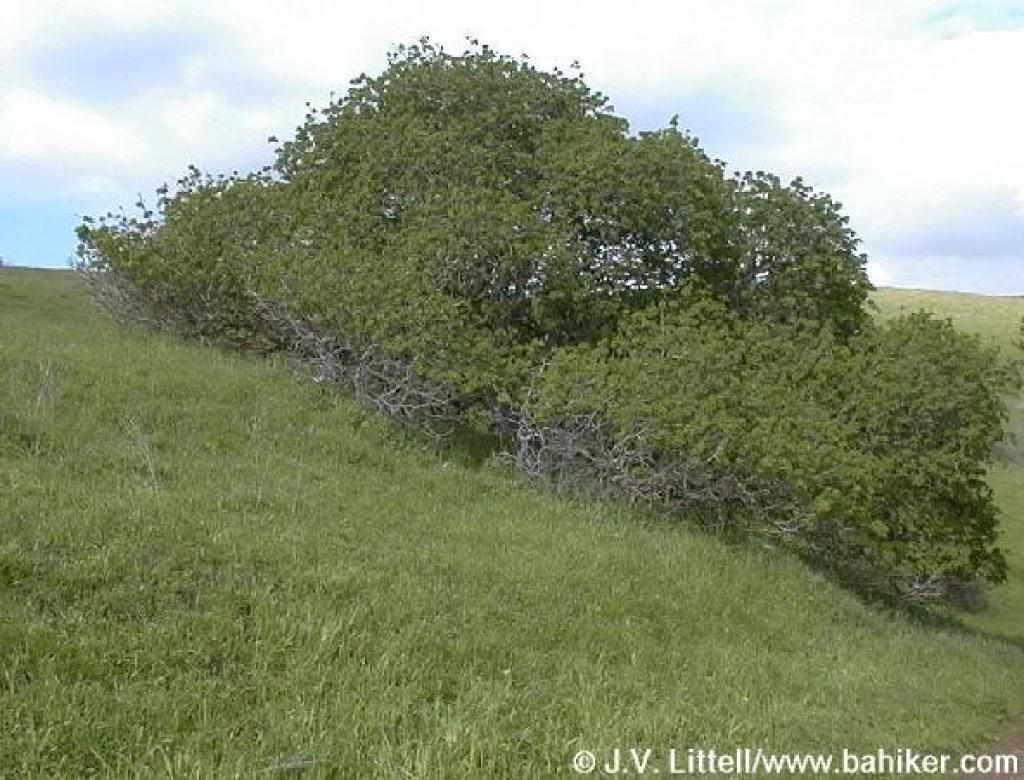 Buckeye |
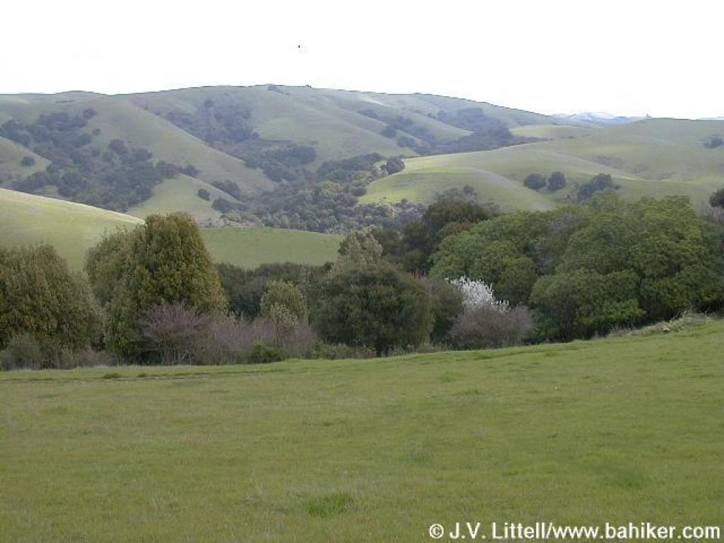
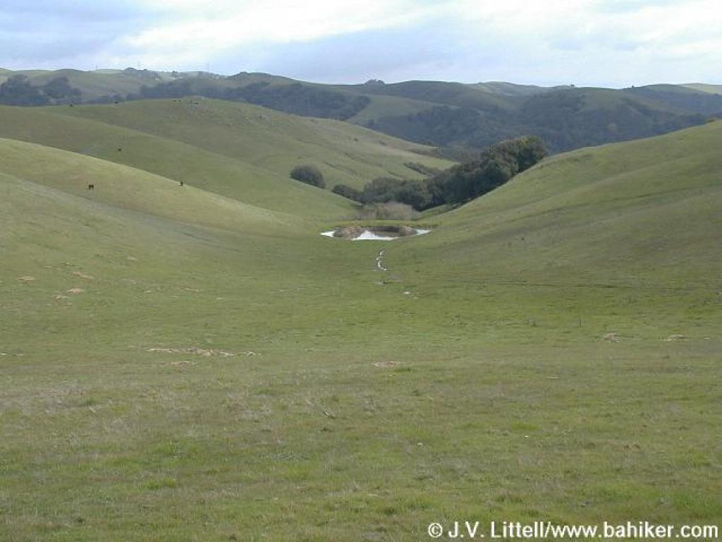
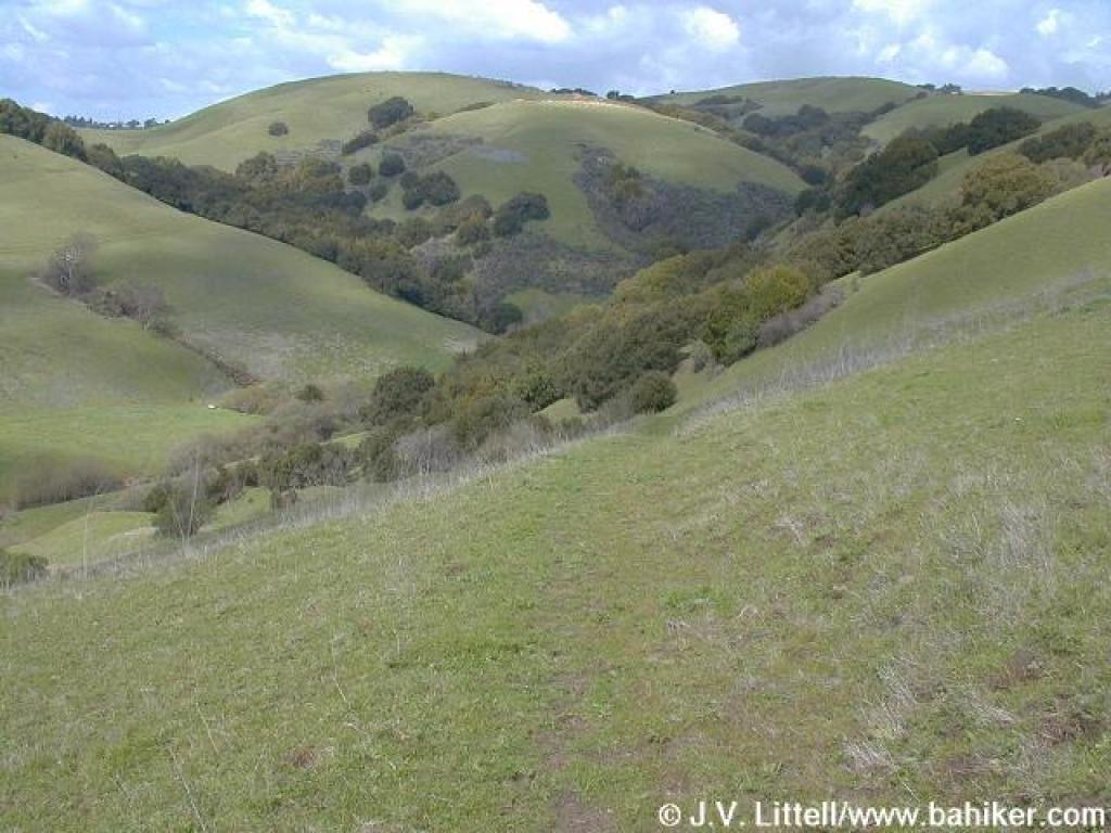
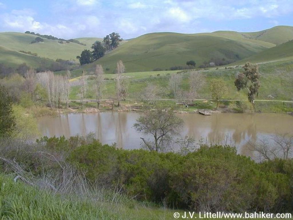 View to Jordan Pond |
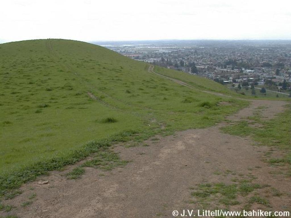
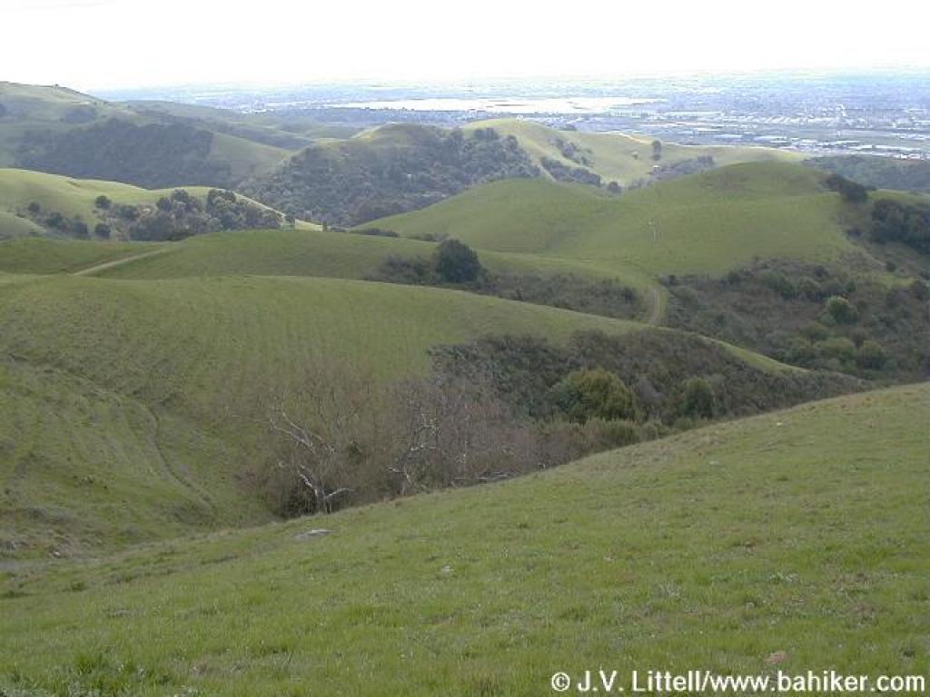
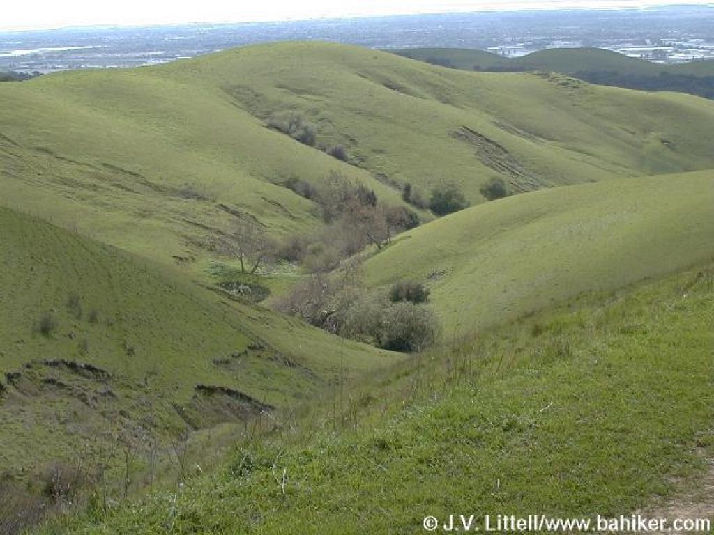
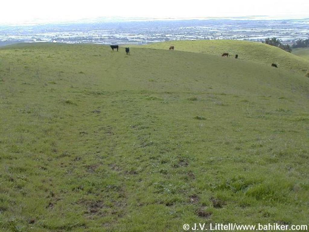
 View southeast |
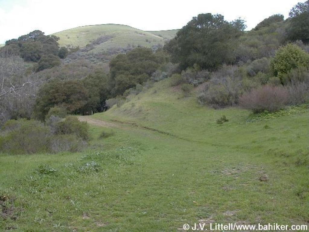
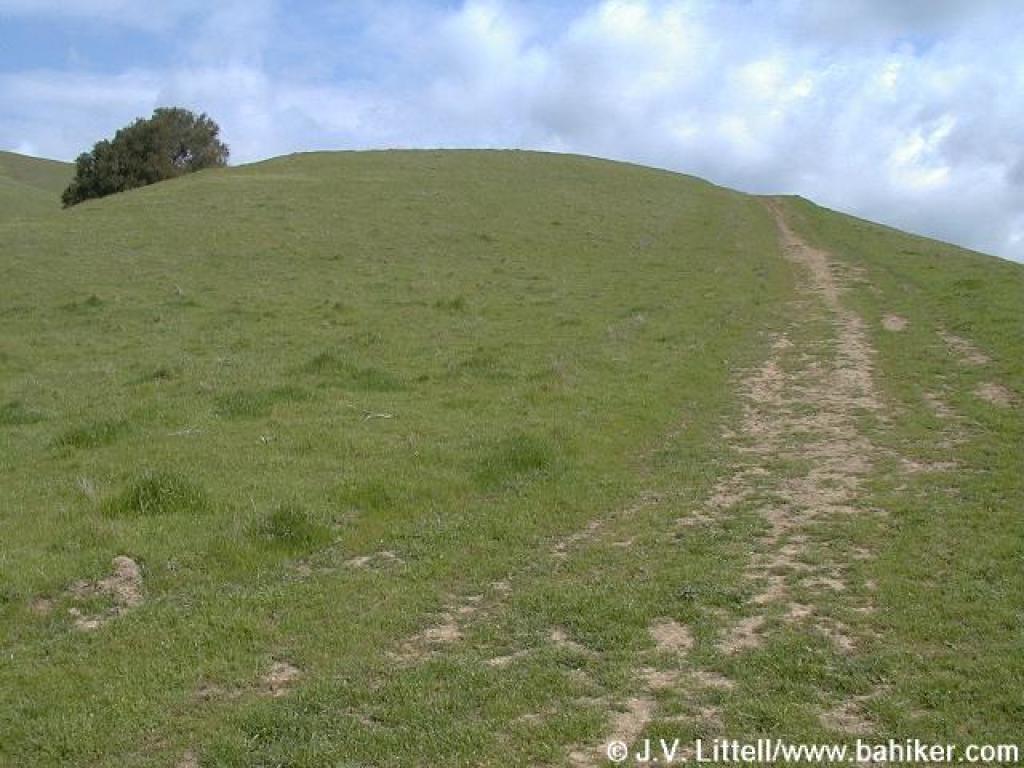
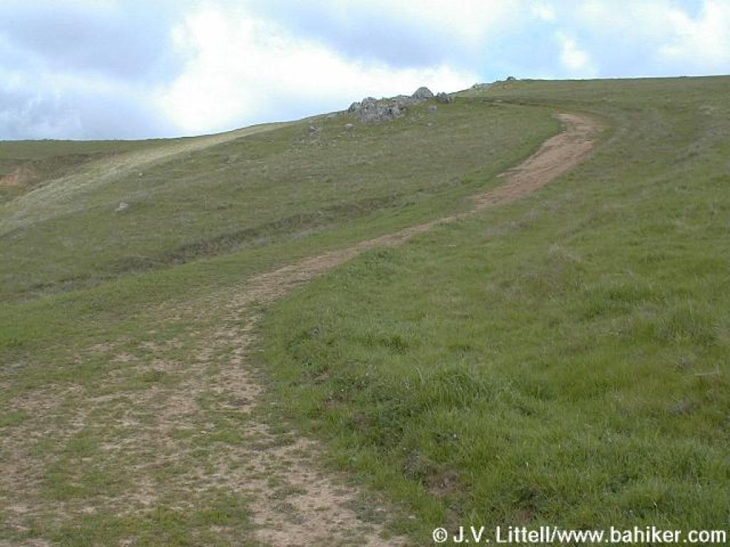
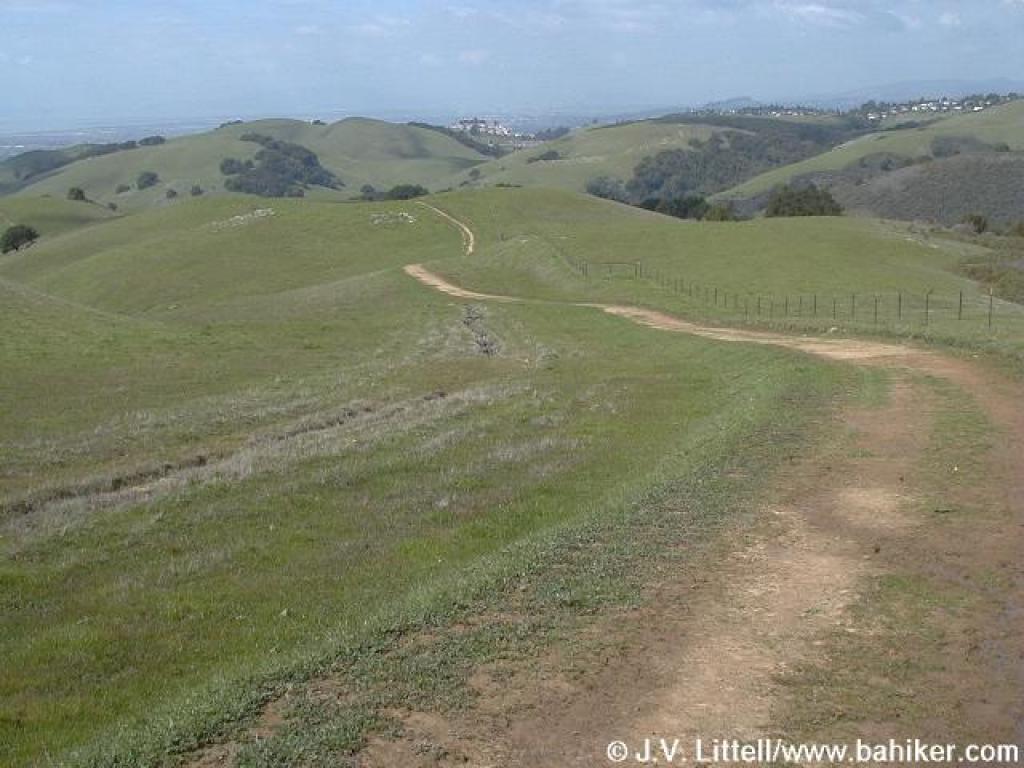
 High Ridge Loop Trail |
||||
 Junction |
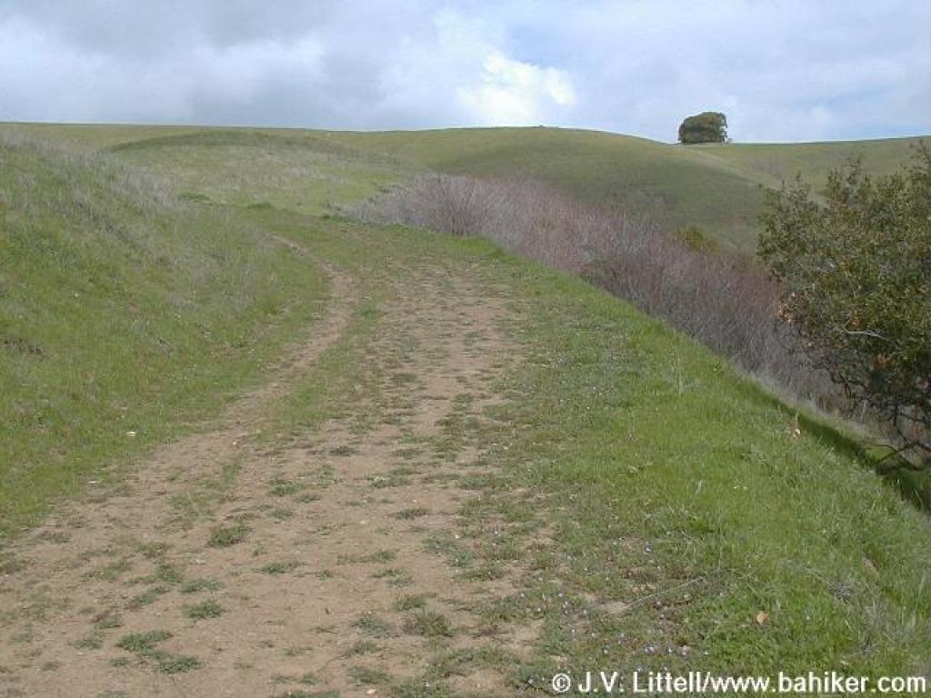
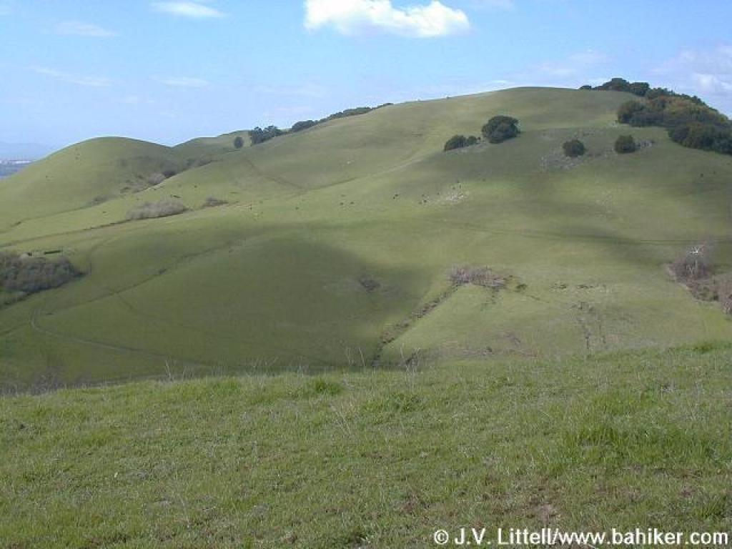
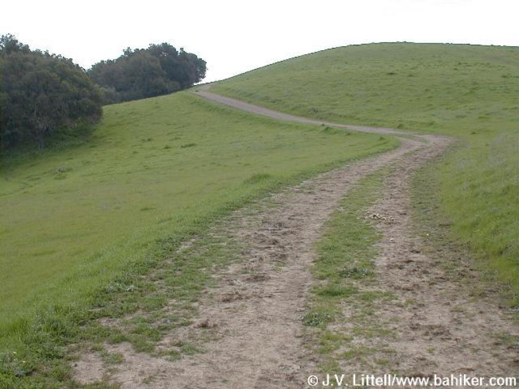 High Ridge Loop Trail |
 View east |
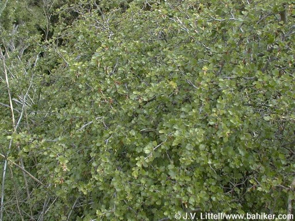 Gooseberry |
||||
 Trail splits; either path is an option |
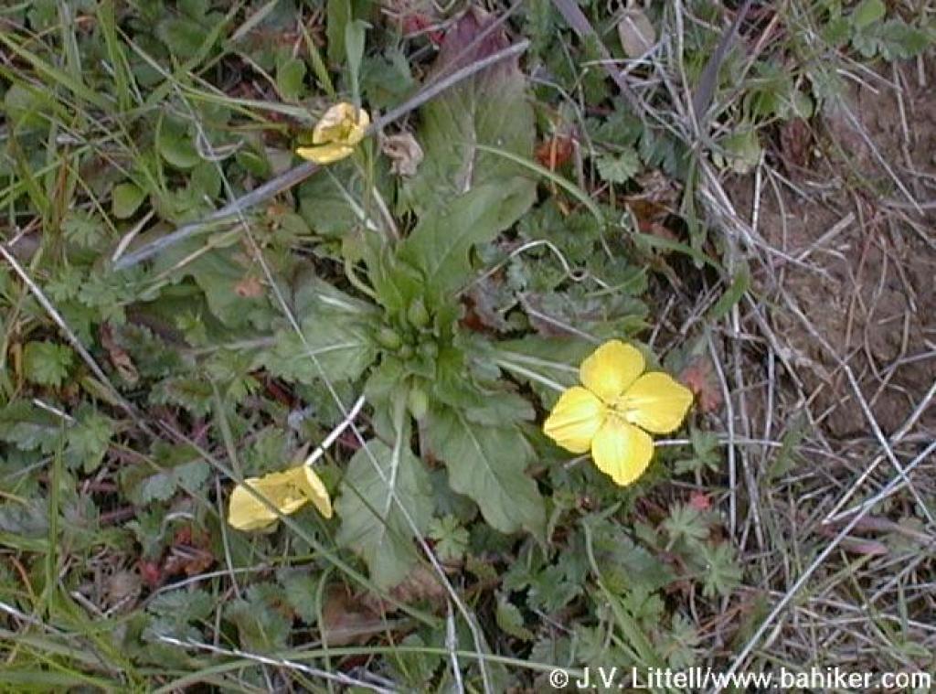
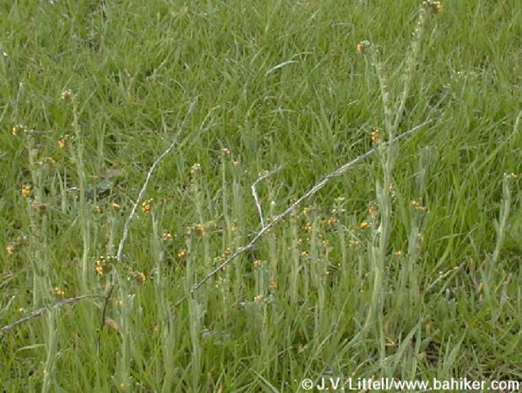 Fiddlenecks |
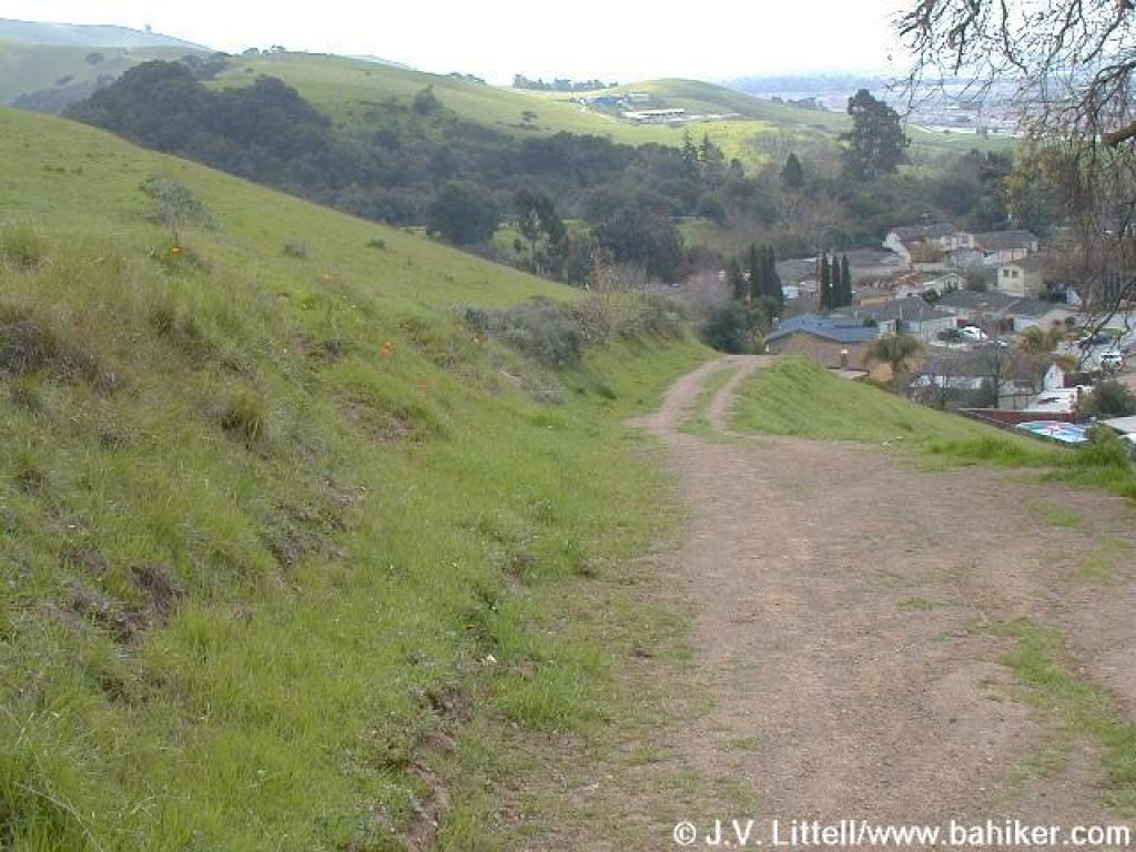 Descent |
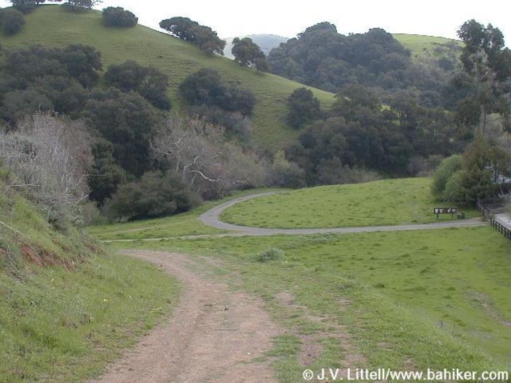 Approaching junction |
||||
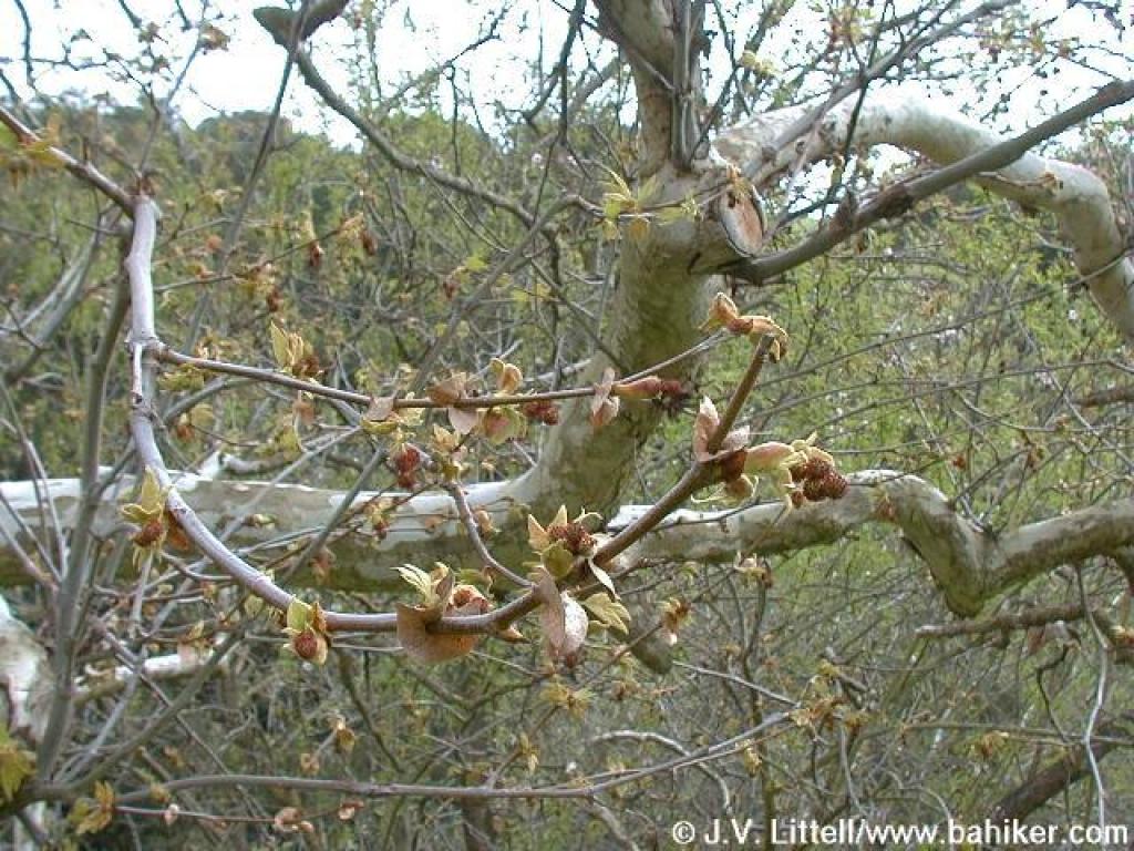 Sycamore |
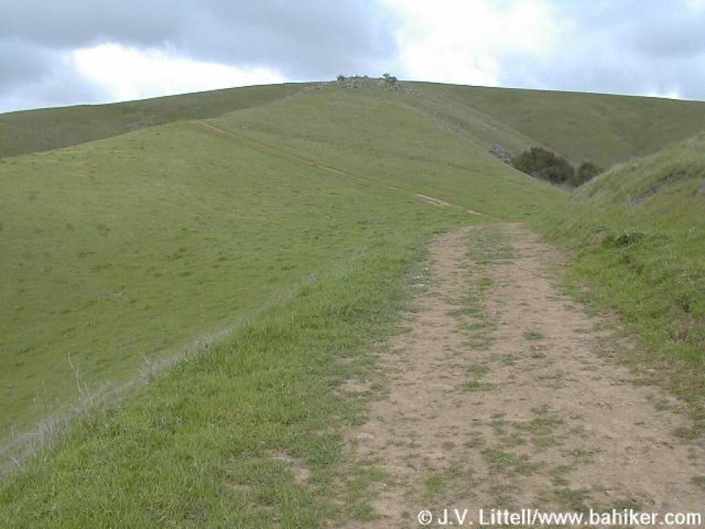
 High Ridge Loop Trail |
 Trial passes an old orchard |
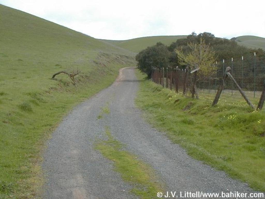
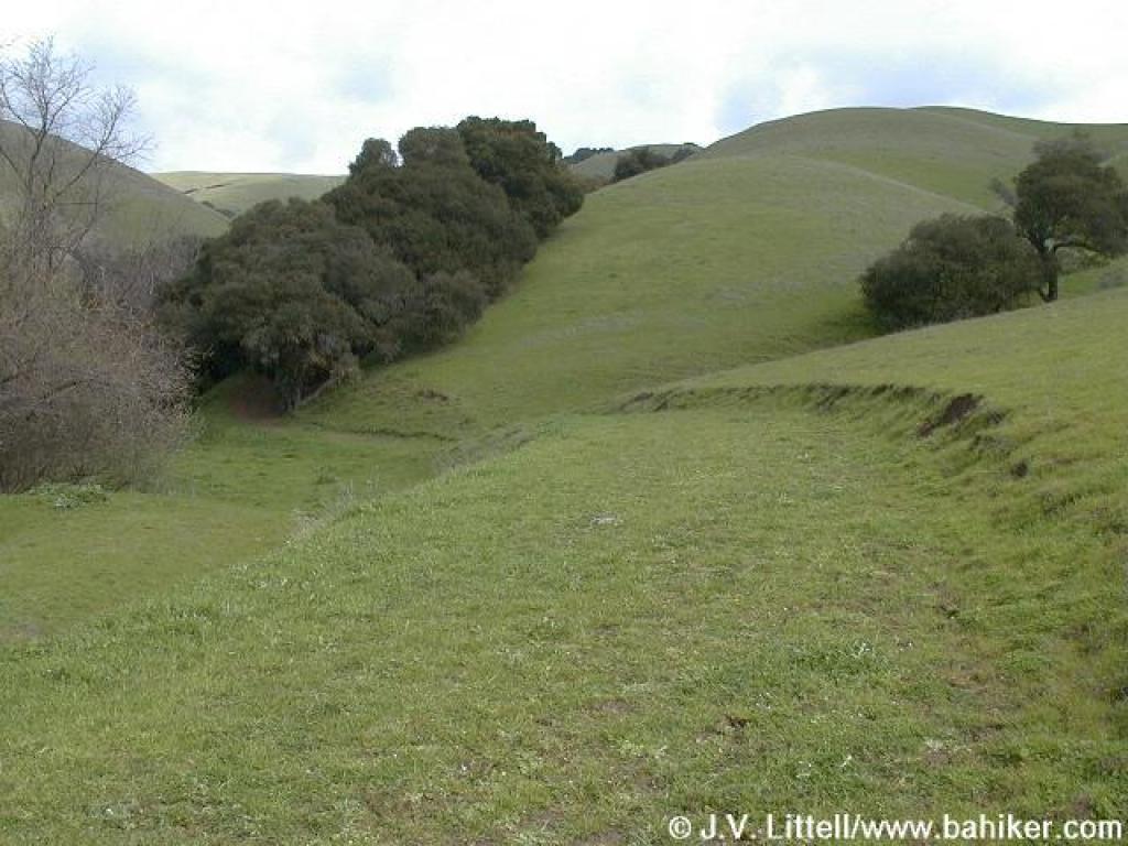
 Trail winds through grassland |
||||
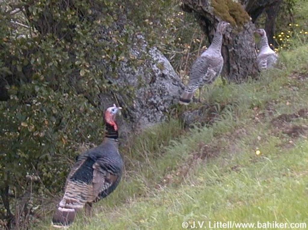 Turkeys on the side of the trail |
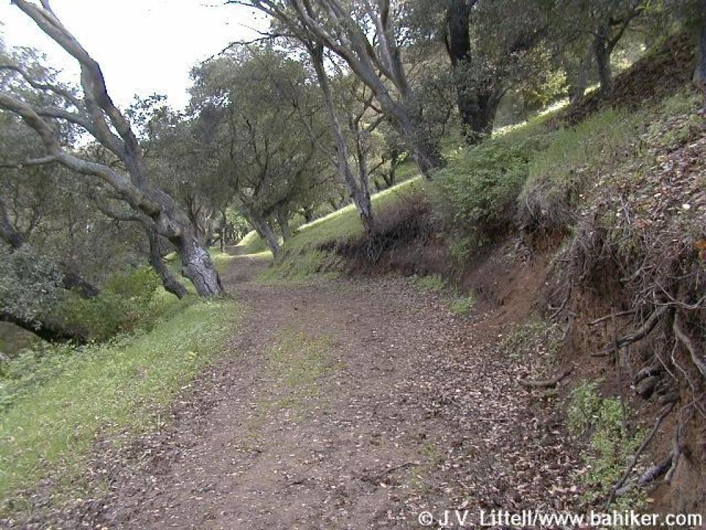
 High Ridge Loop Trail turns and heads uphill |
 Climbing |
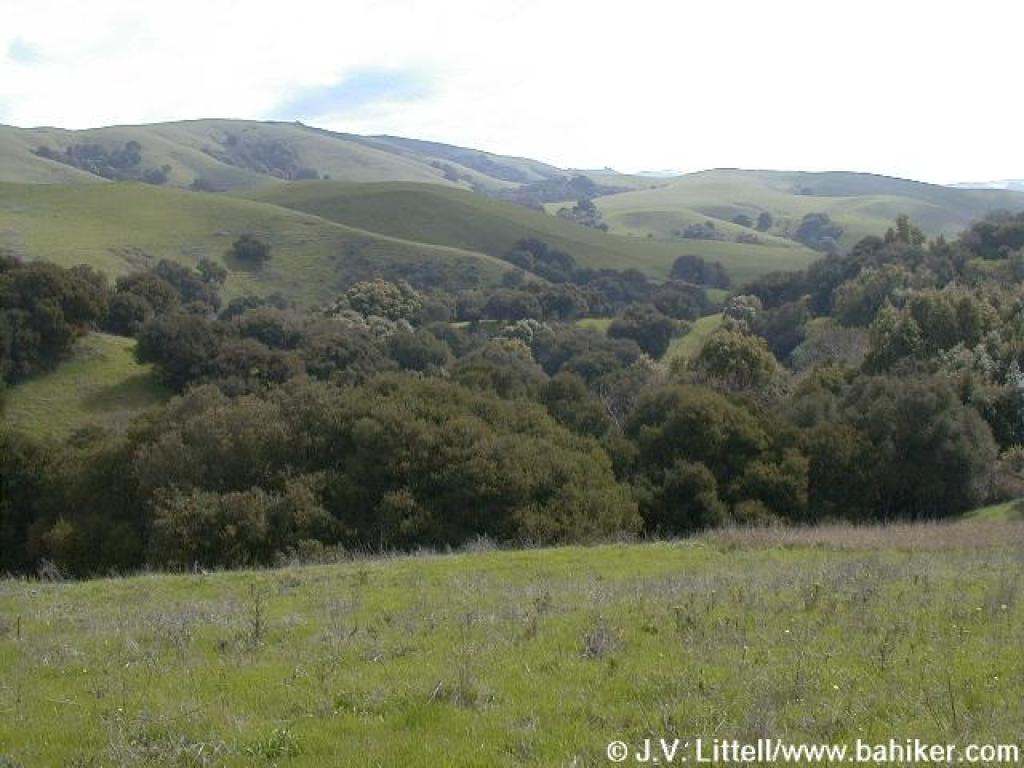
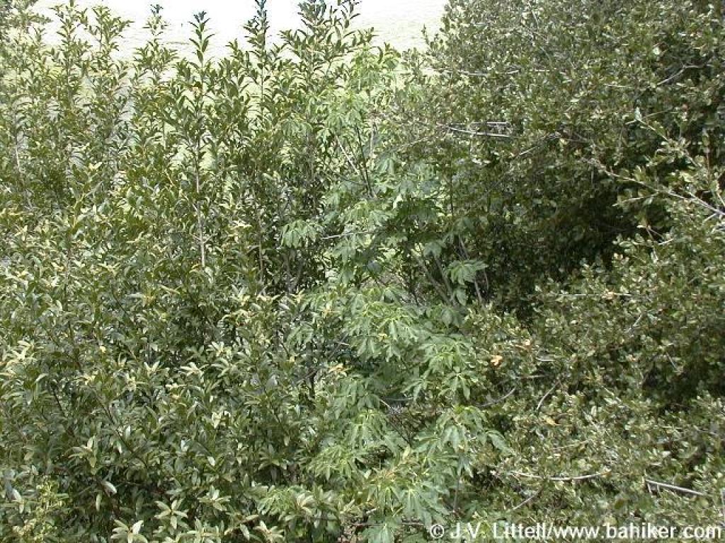 California bay, buckeye, and coast live oak are the dominant trees |
||||
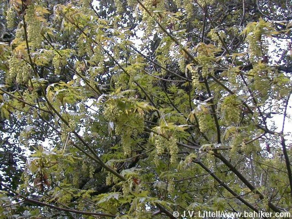 Fresh maple leaves |
 Approaching junction |
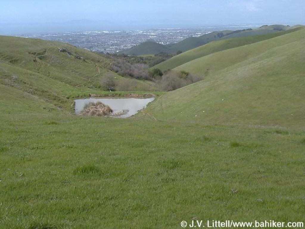
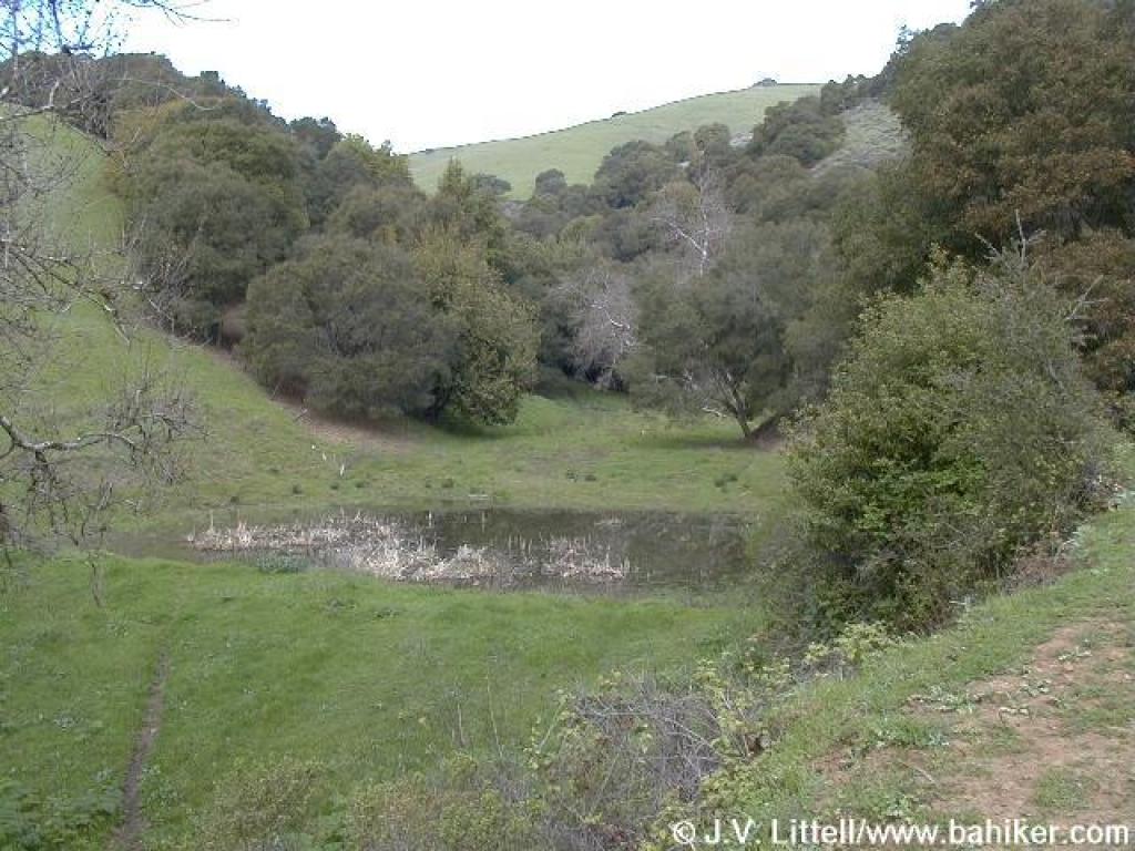 Little pond |
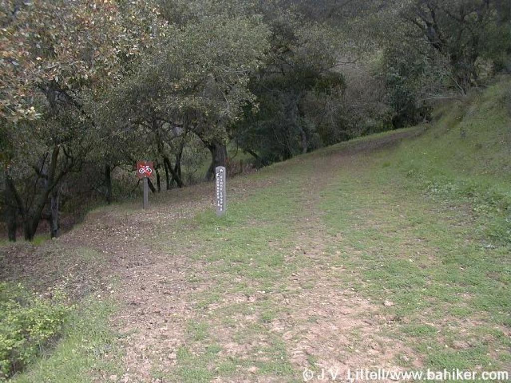 Junction |
||||
 Steep |
 Back in grassland |
 Turning away from a poison oak-covered hillside |
 High Ridge Loop Trail |
||||
 A look back |
 Continuing to climb |
 Suncups |
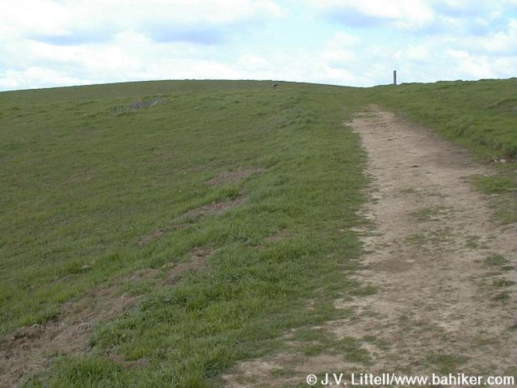 Approaching junction |
||||
 High Ridge Loop Trail, near the peak elevation |
 View east |
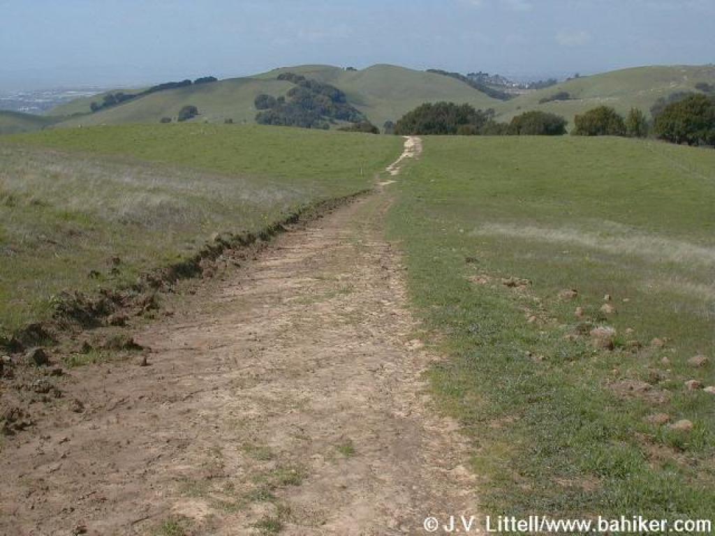
 Straight stretch |
 View west |
||||
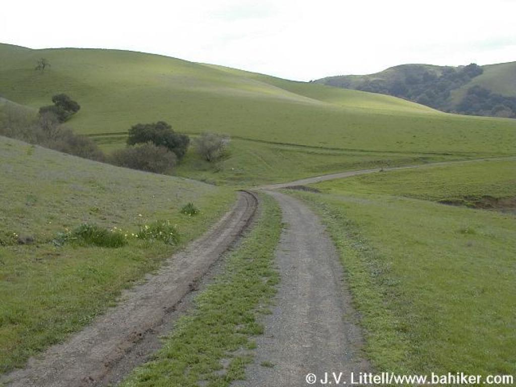
 Descent |
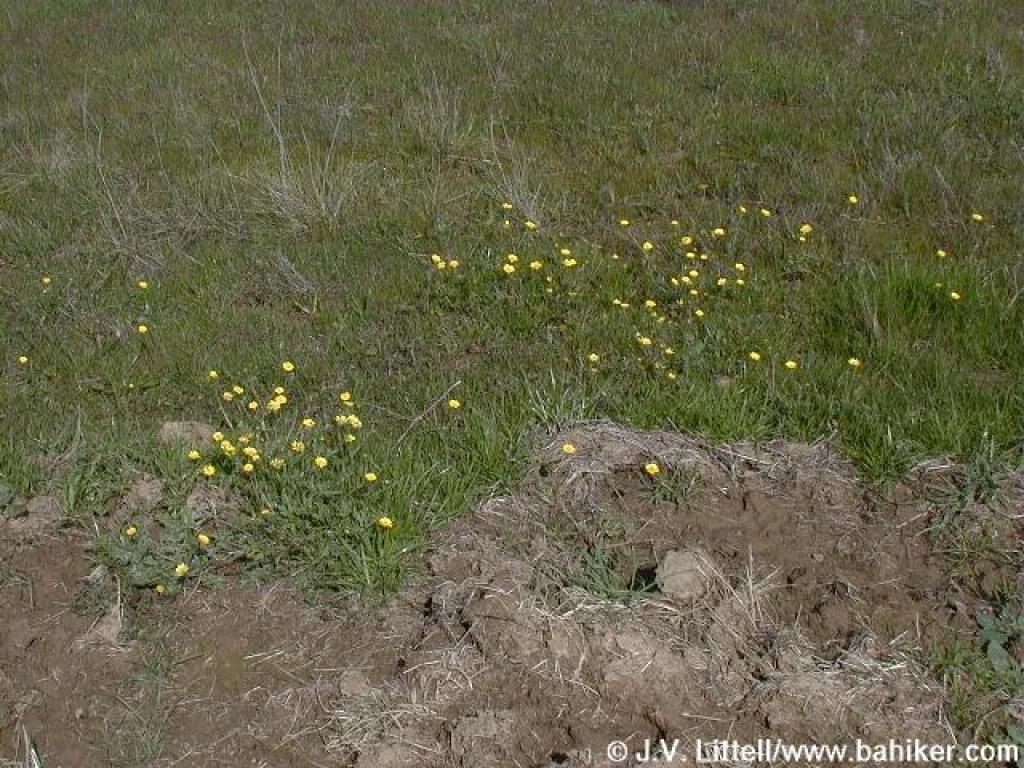 Buttercups |
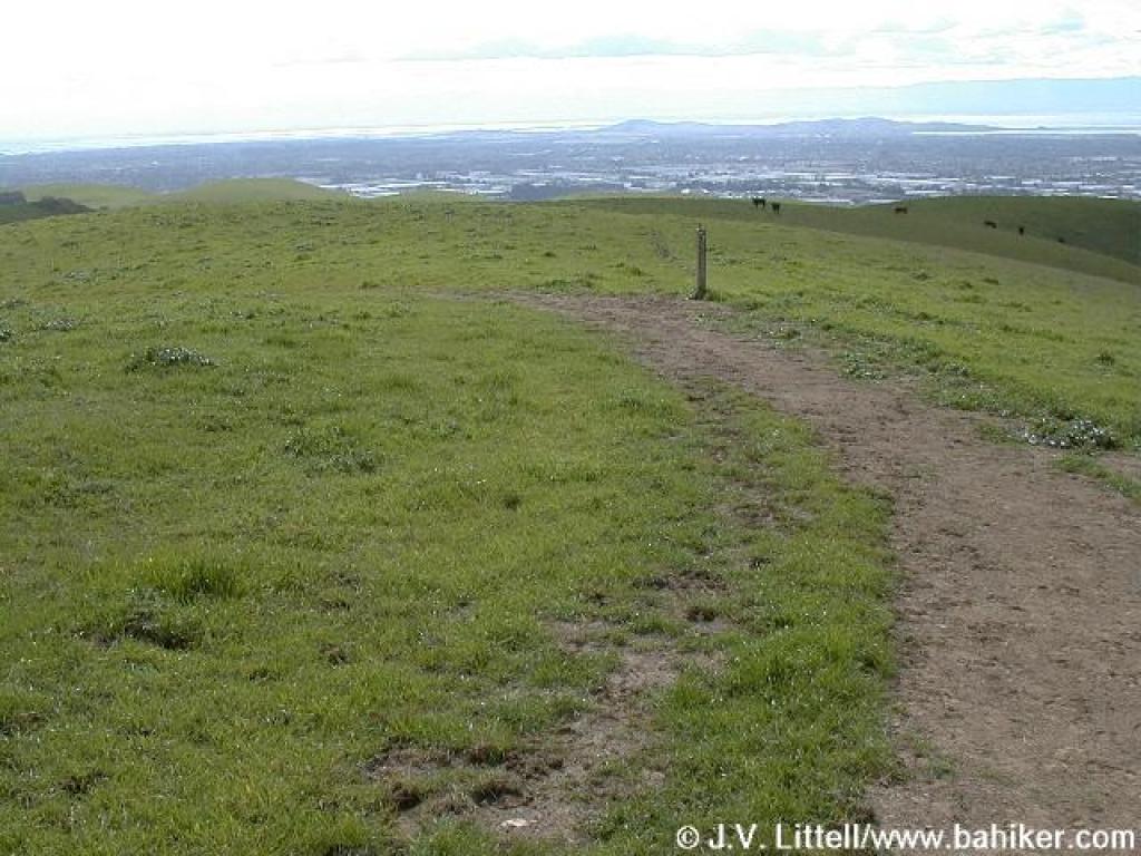
 Approaching junction |
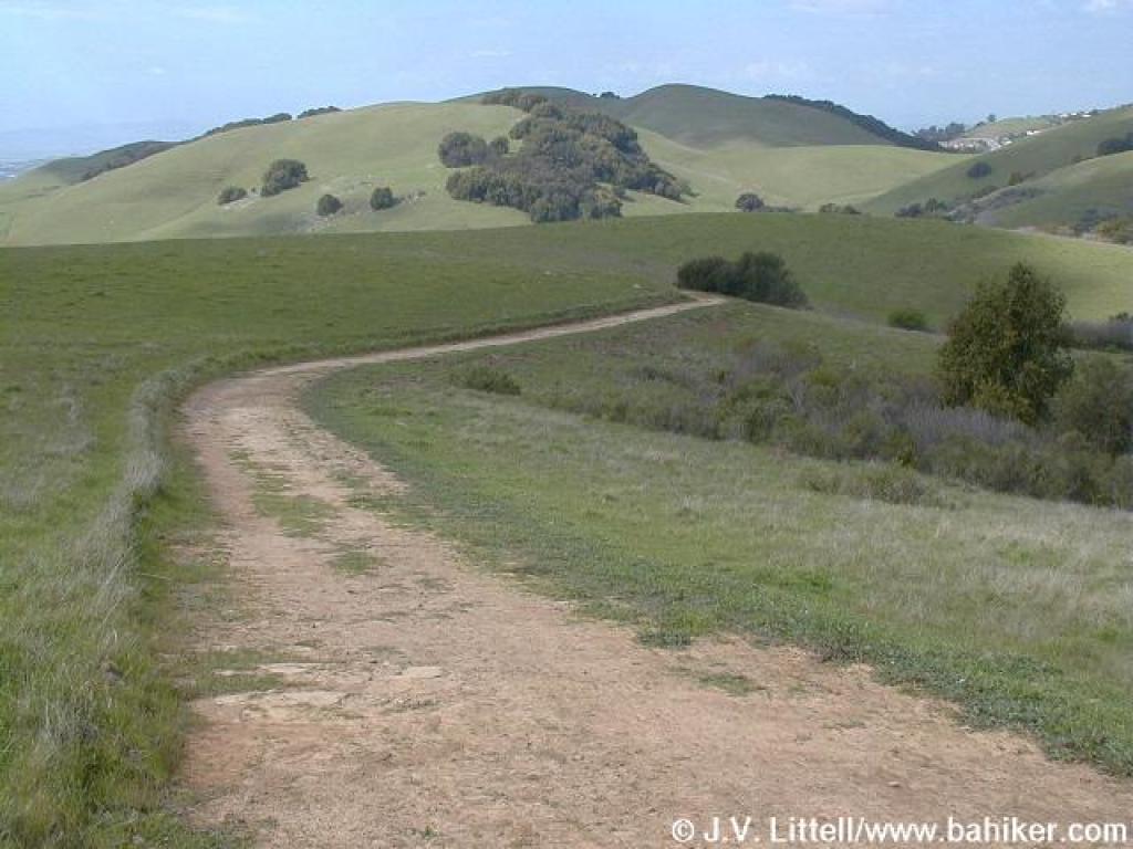 High Ridge Loop Trail |
||||
 View west |
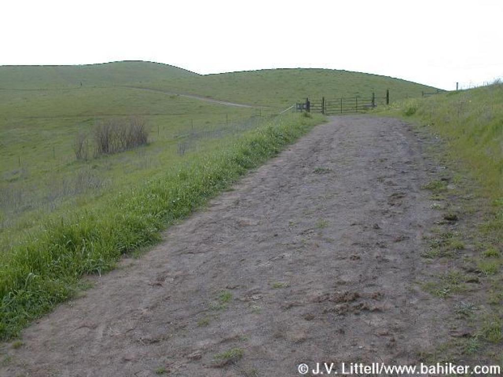
 Approaching gate |
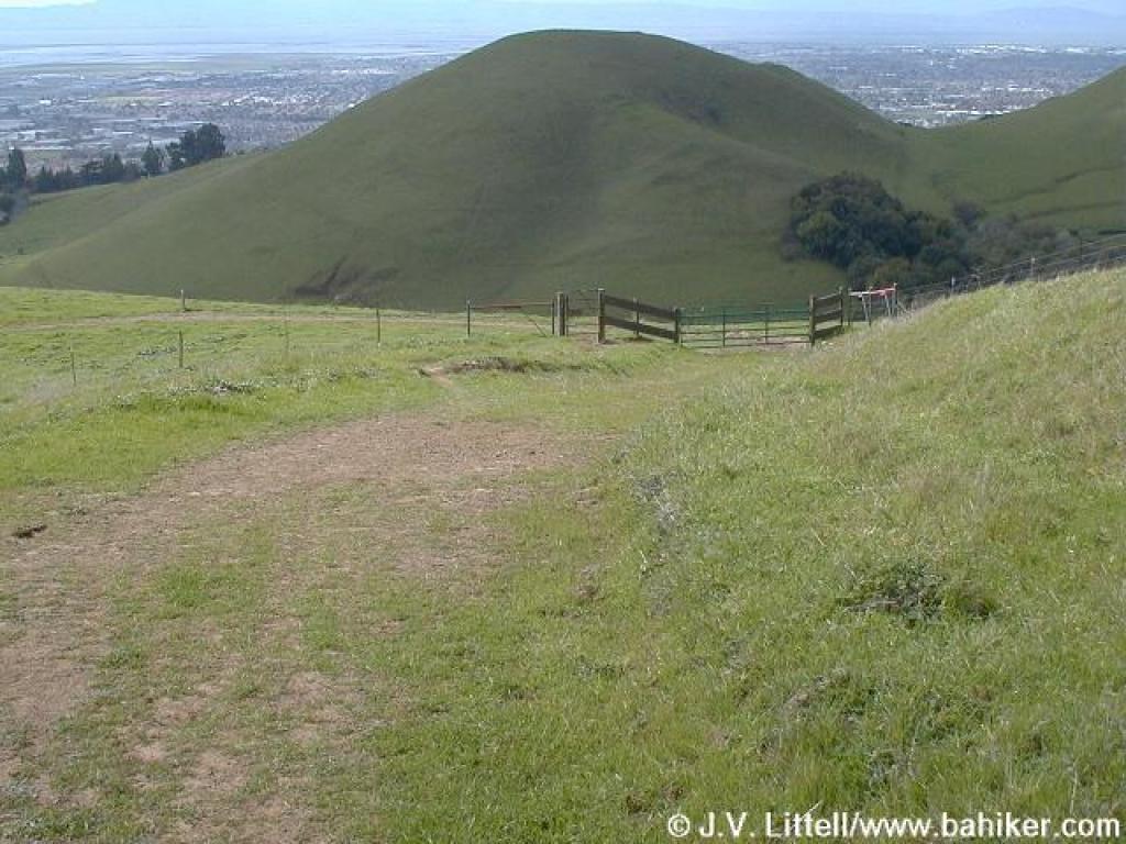
 View north, to Garin Peak |
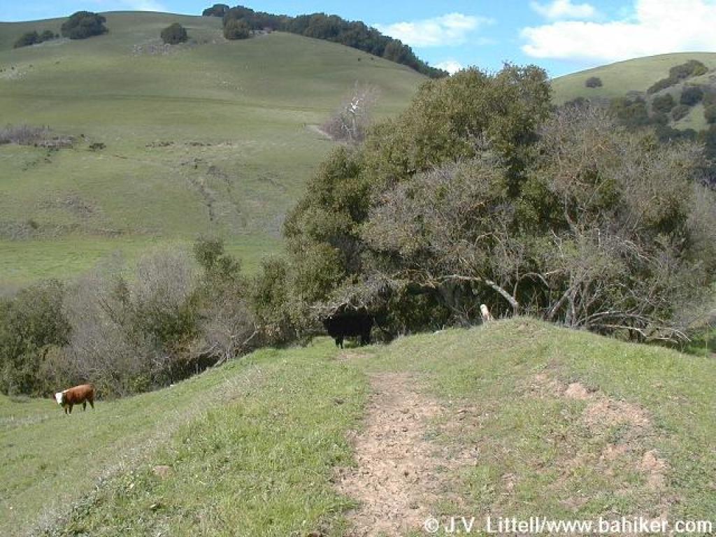
 Junction |
||||
 Newt Pond Trail |
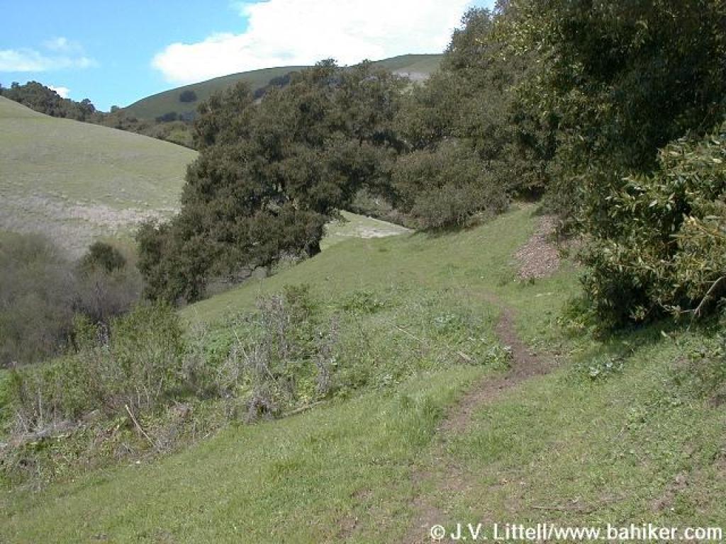
 Descending |
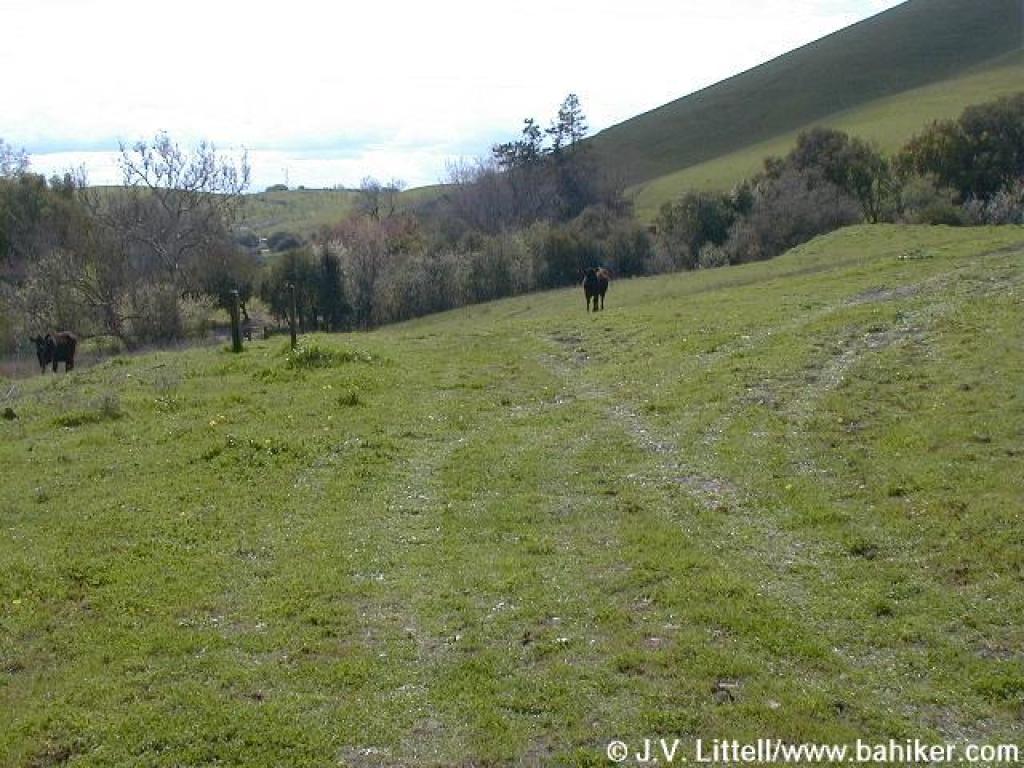
 Cow paths make the trail hard to follow |
 Trail seems to split here |
||||
 Crossing the creek |
 Junction |
 Approaching gate |
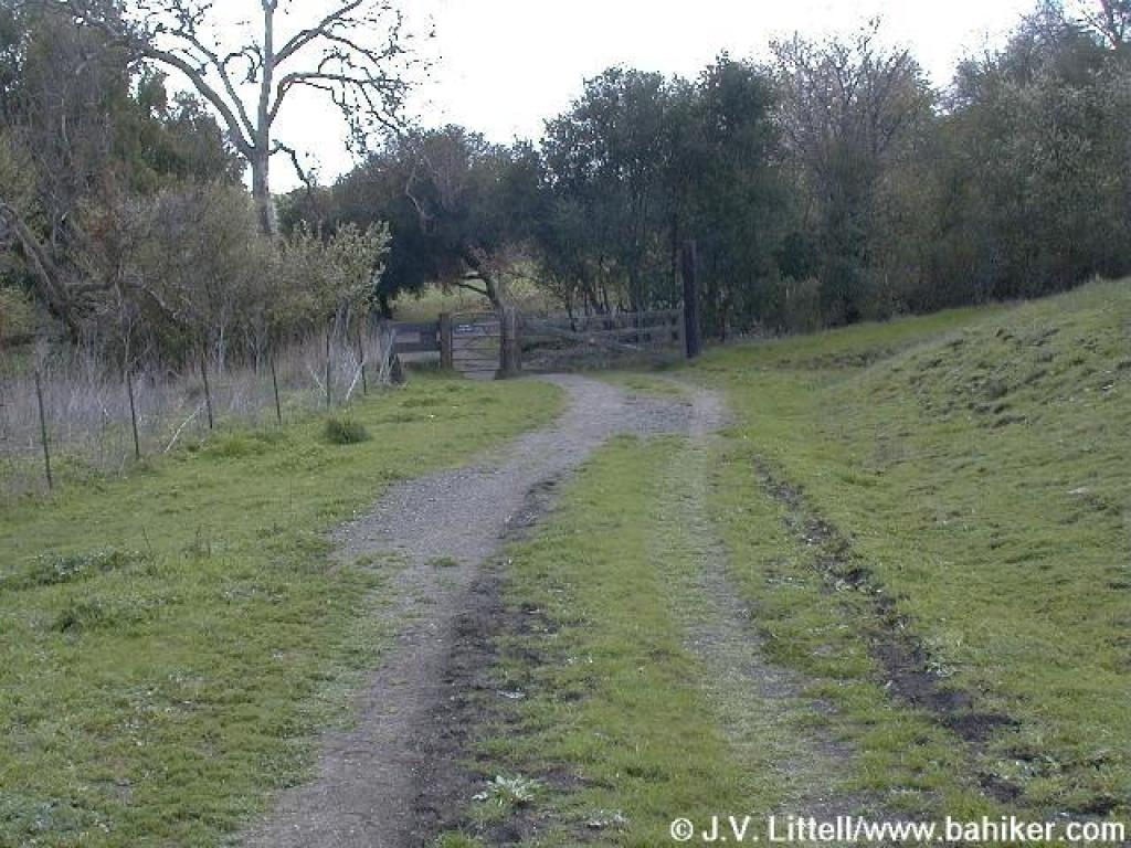
 Junction with campground road |
||||
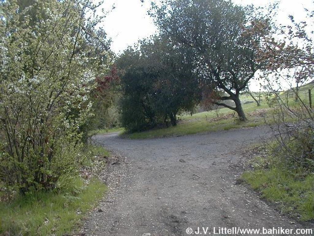
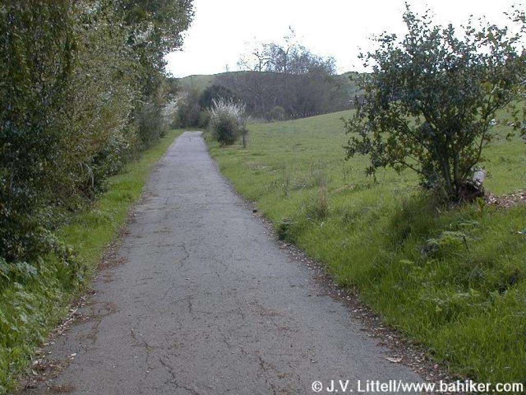 Old Homestead Trail |
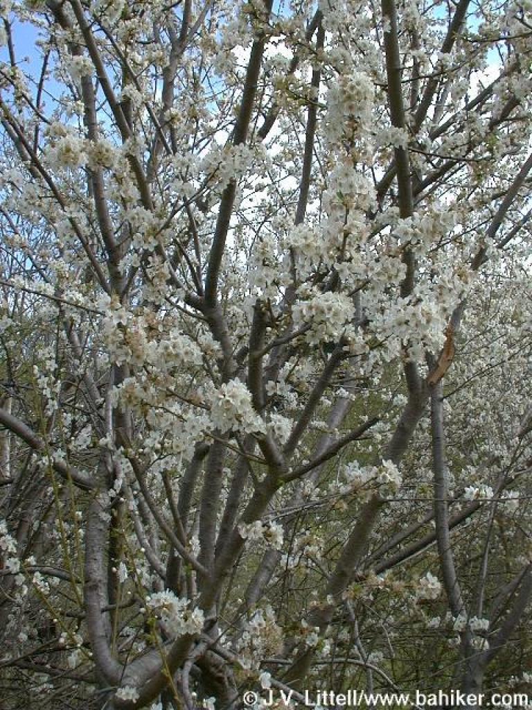 Flowering fruit tree |
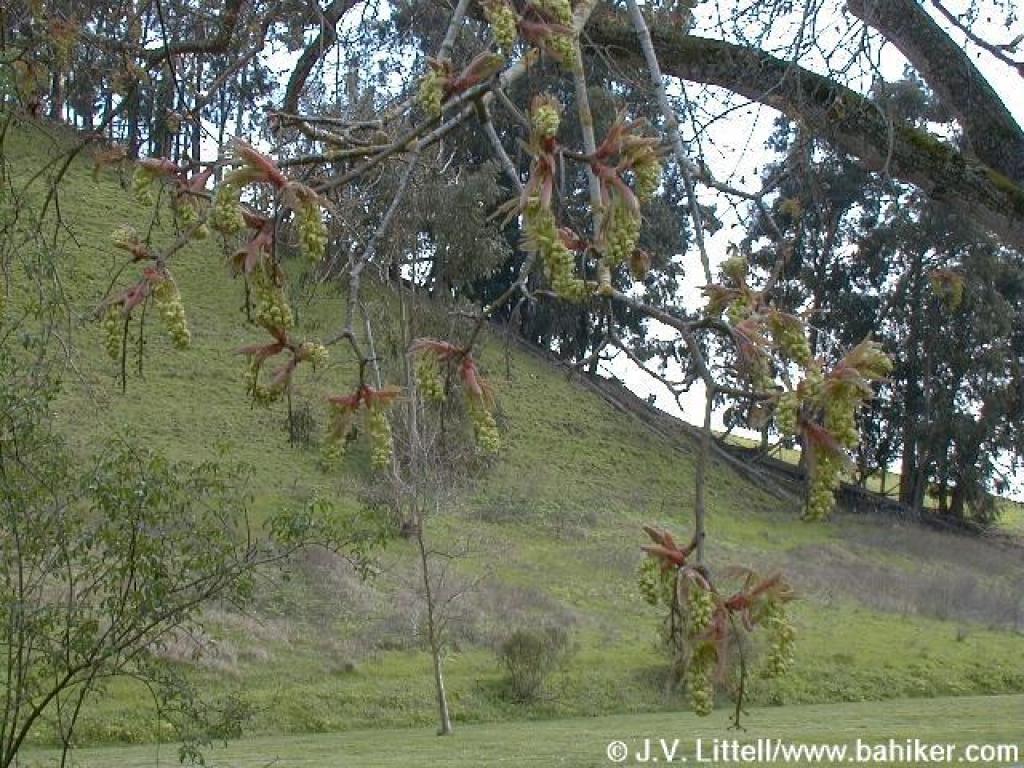 Maple |
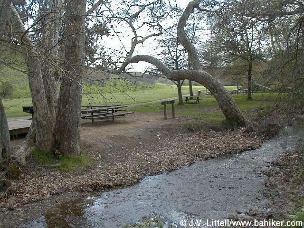 Picnic area |
||||
 |
Go to Bay Area Hiker Garin/Dry Creek Pioneer page Go to Bay Area Hiker Home page |
||||||