| Photos
from a March 2000 hike at Coyote Hills Regional Park (click on any image for a larger view) |
|||||||
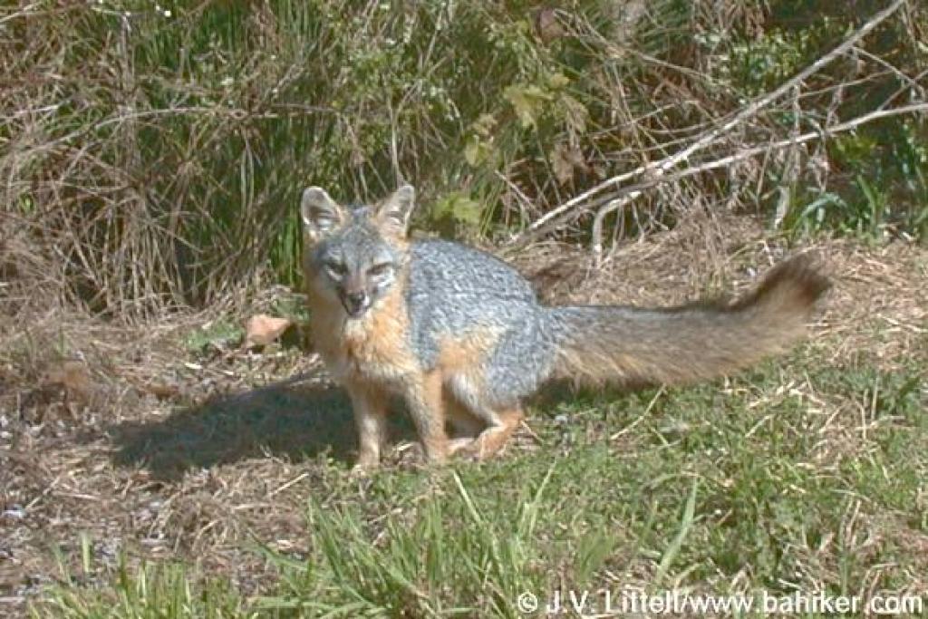 The welcoming committee, a gray fox |
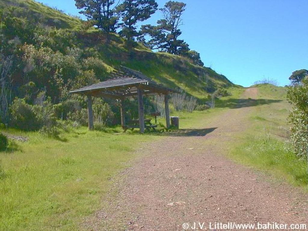
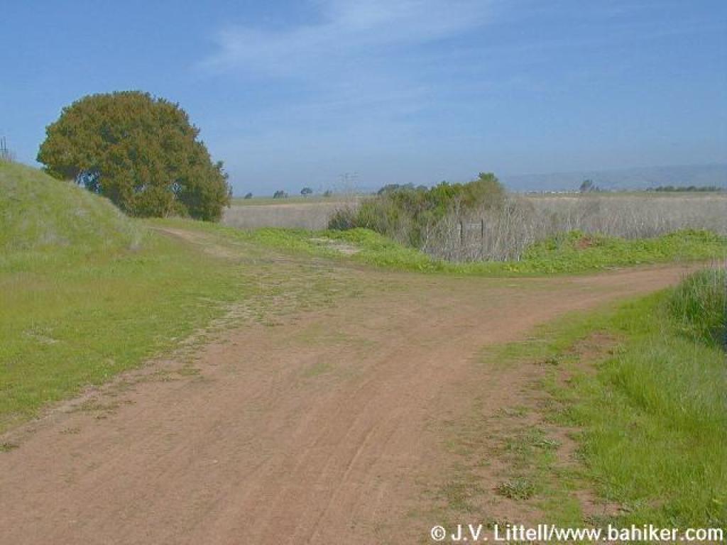
 At the trailhead |
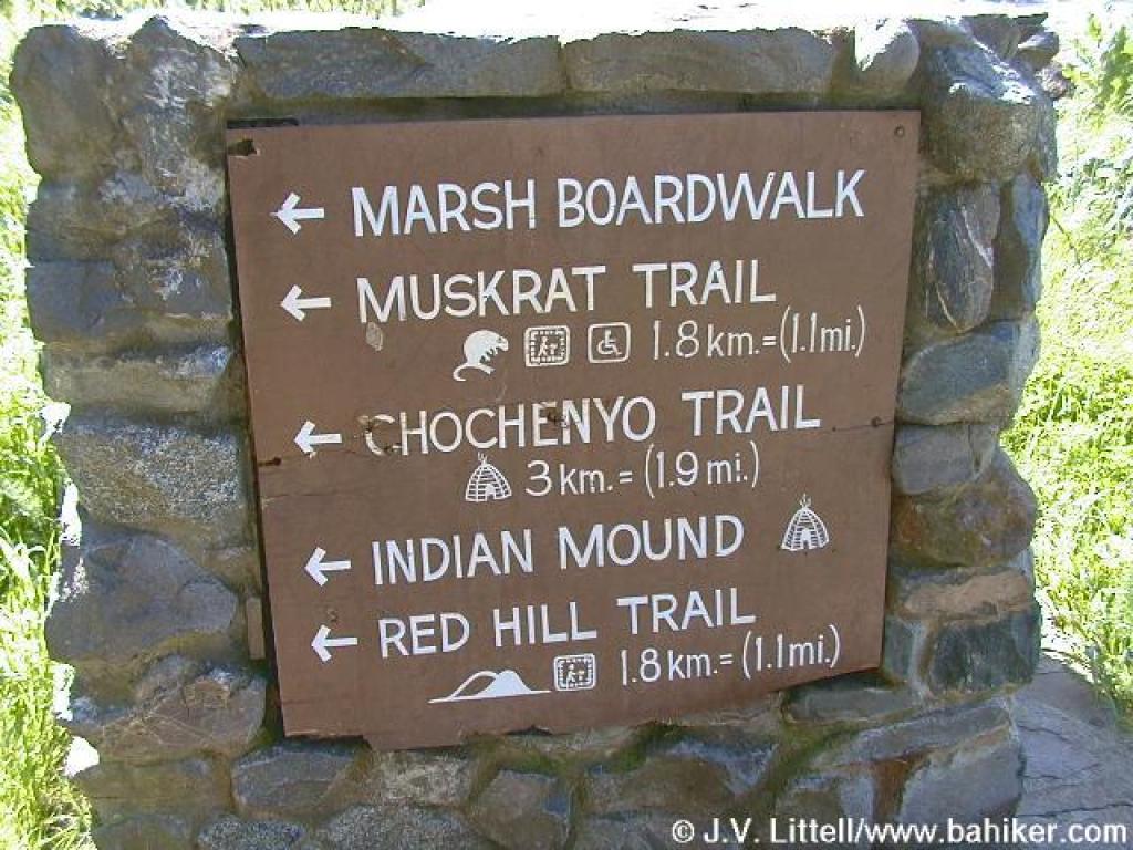 Sign post near Visitor Center |
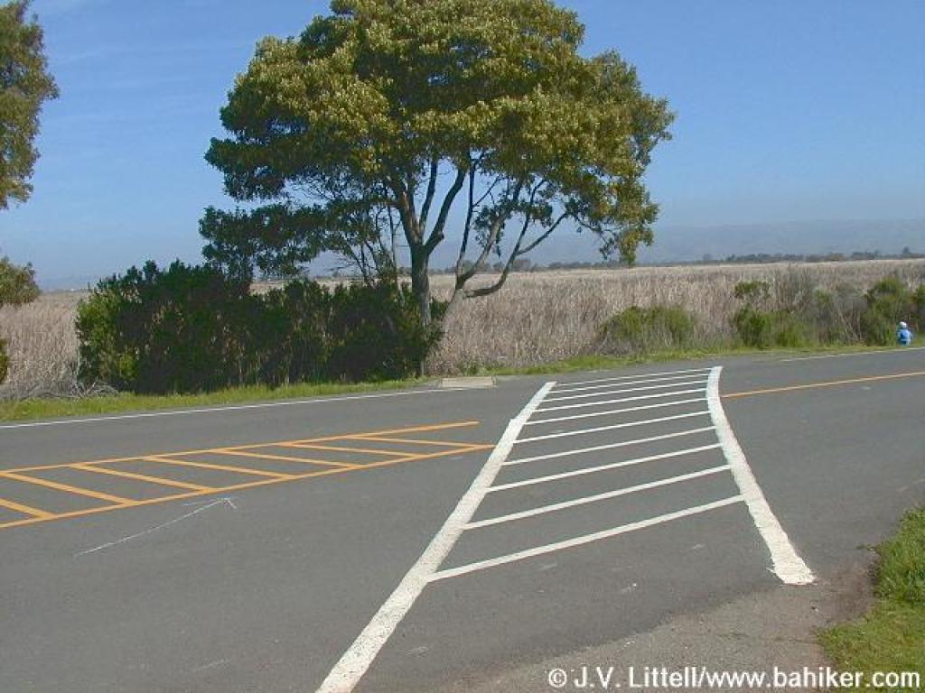 Crossing the street to the marsh |
||||
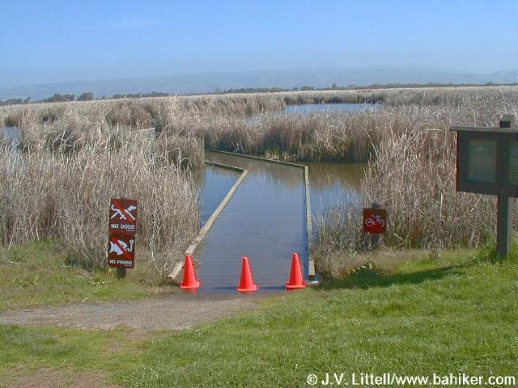 Flooded and impassable boardwalk section |
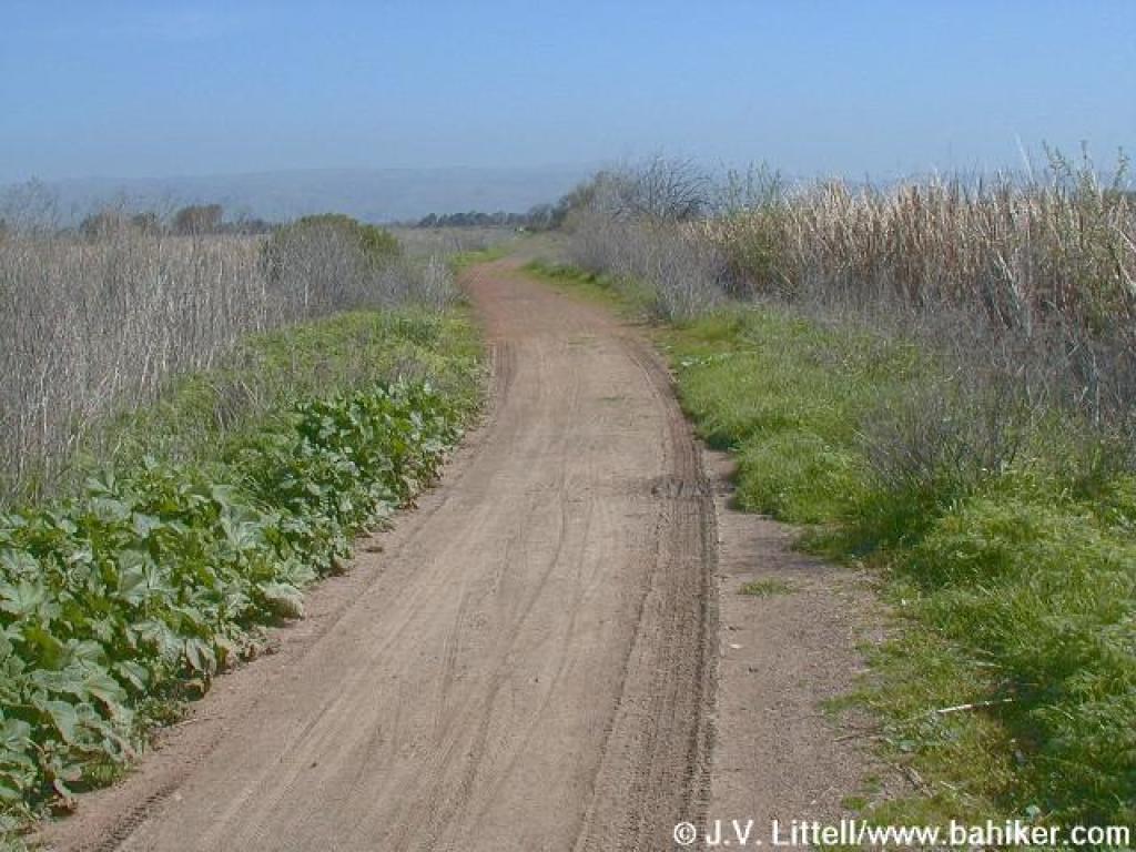
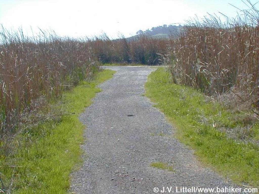
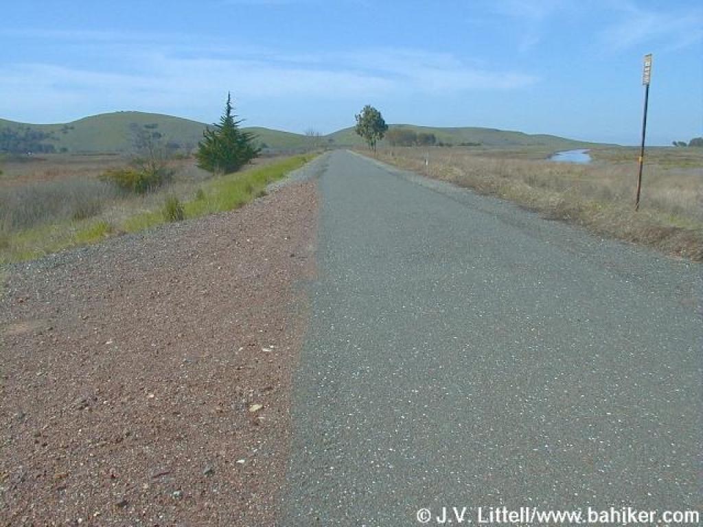
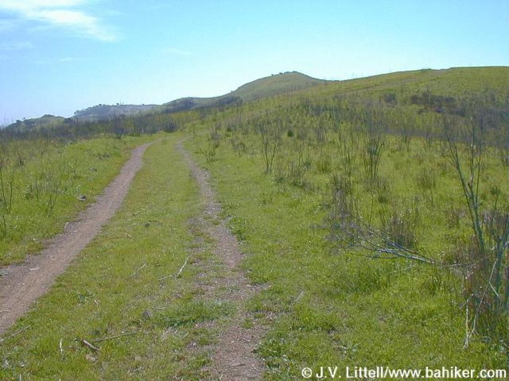
 Start of the Chochenyo Trail |
 Chochenyo Trail |
 Side Trail near Lizard Rock |
||||
 Junction with Lizard Rock Trail |
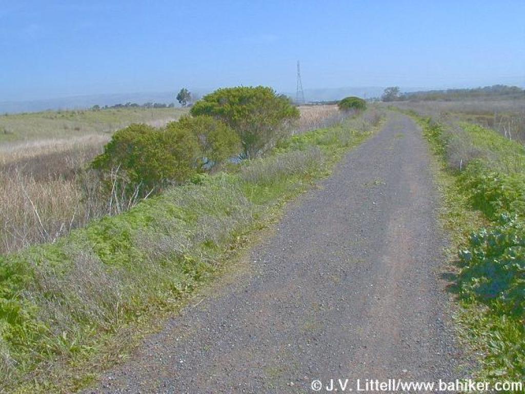
 Edging along the marsh |
 Junction with trail to Shellmound |
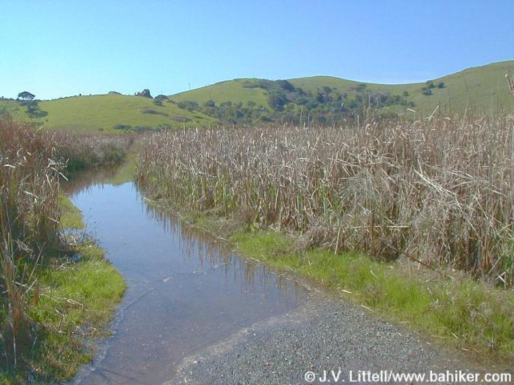
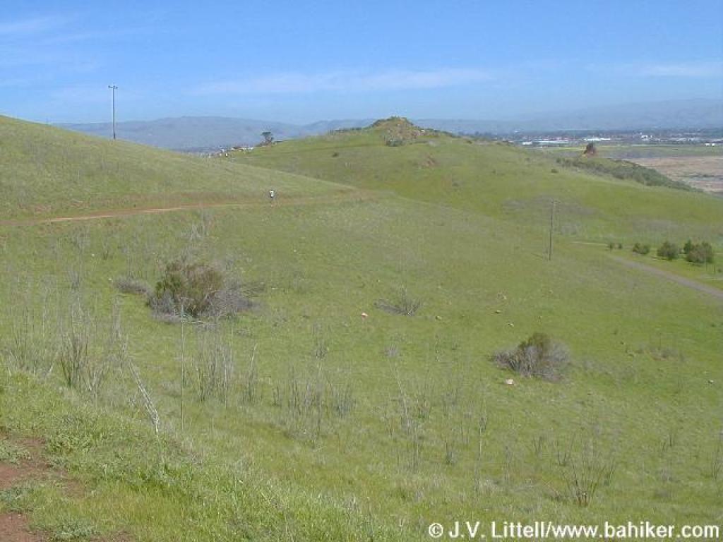
 Chochenyo Trail, with a little standing water |
||||
 Junction with boardwalk connector |
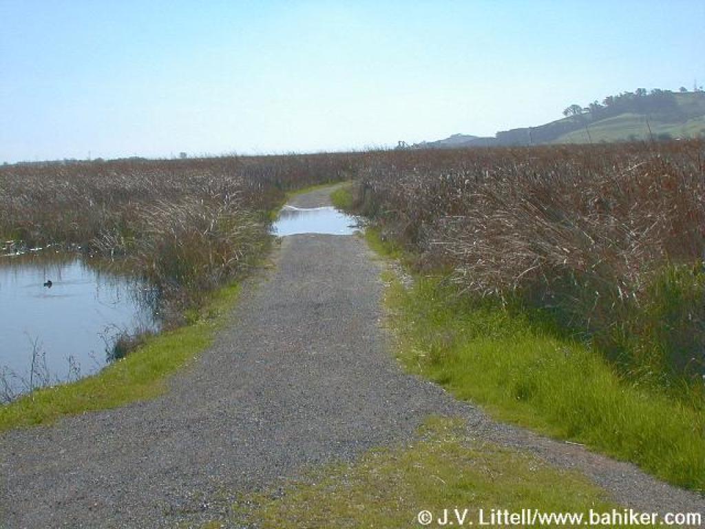
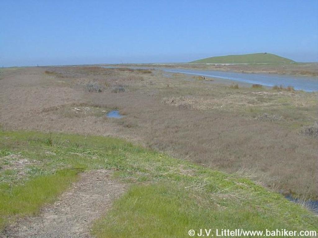
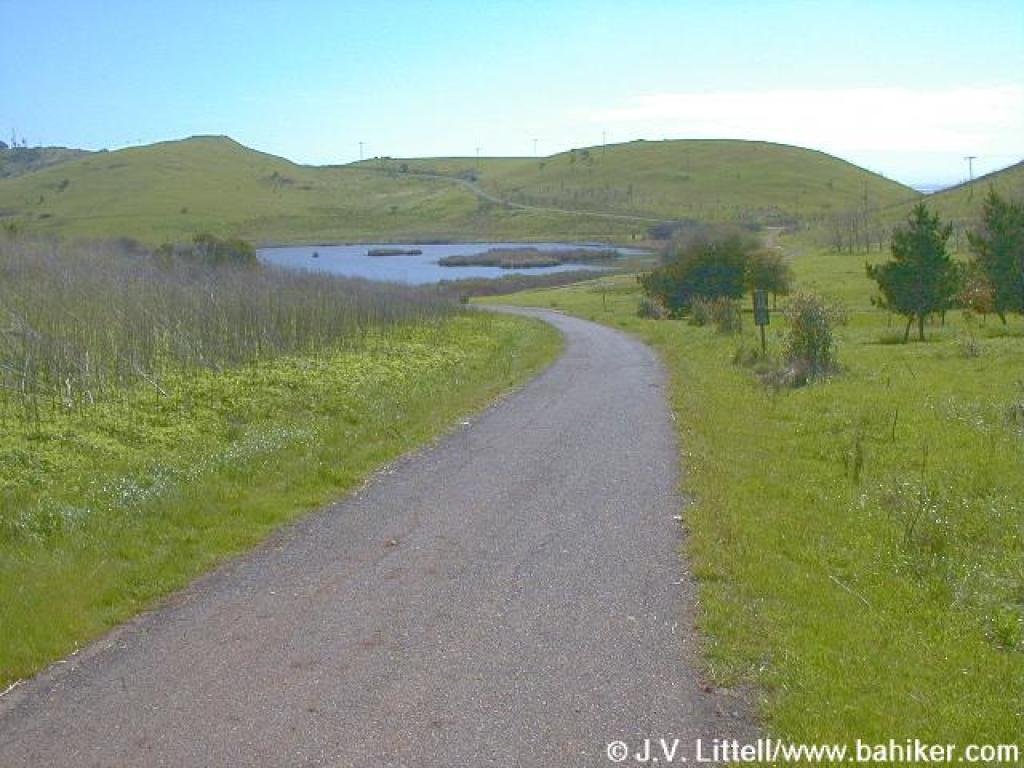
 Flooded trail with hills in the backround |
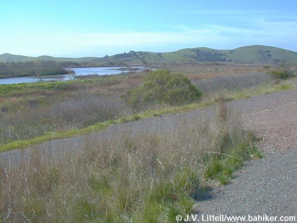
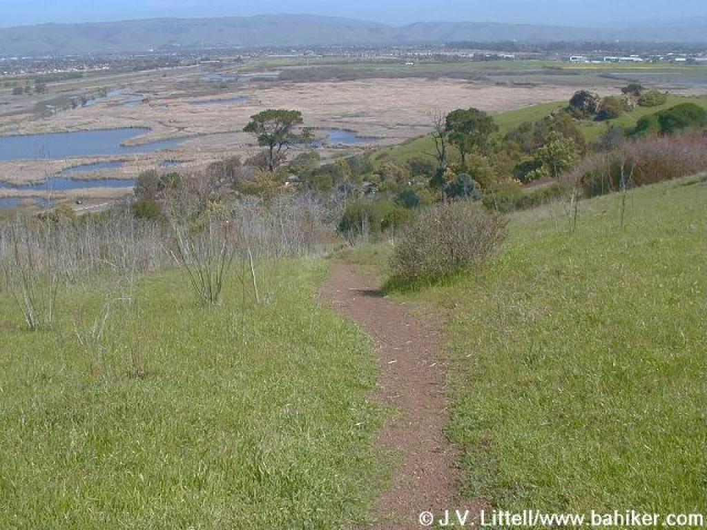
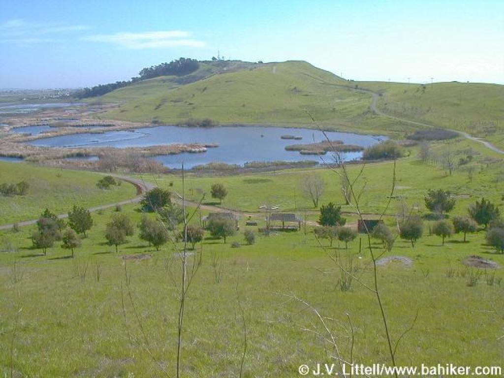
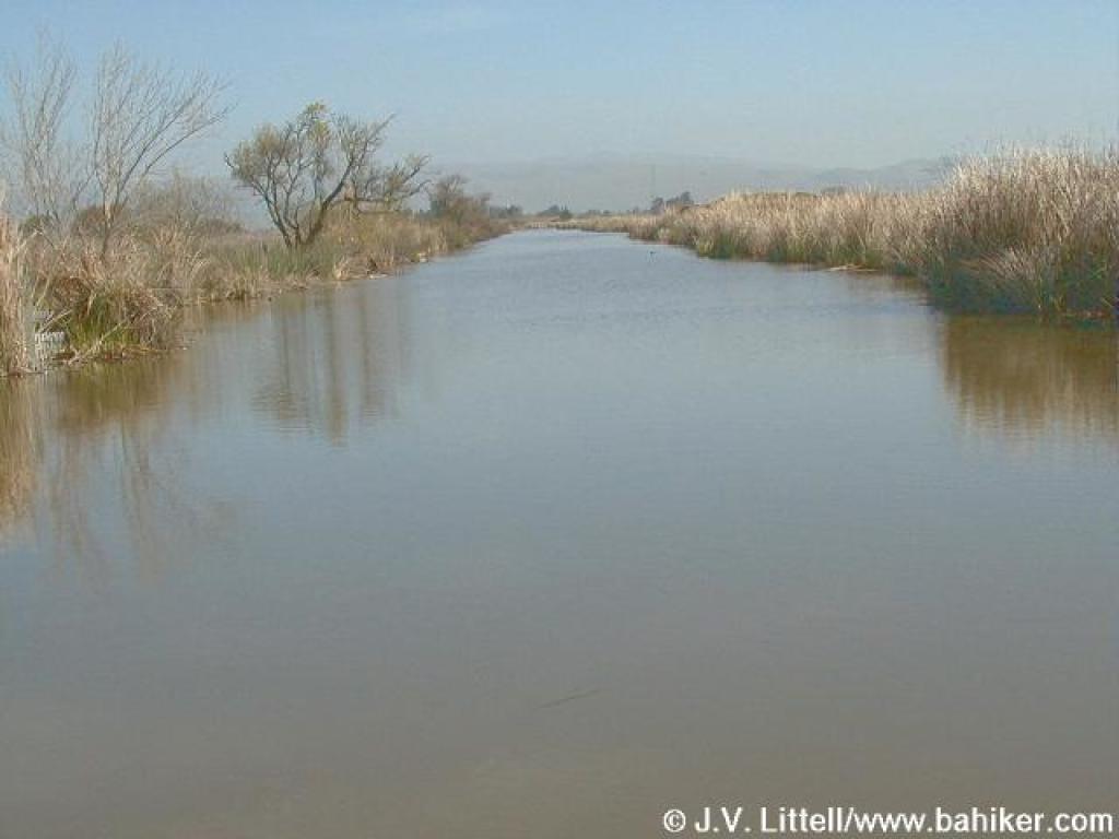 Marsh |
 Looking back |
||||
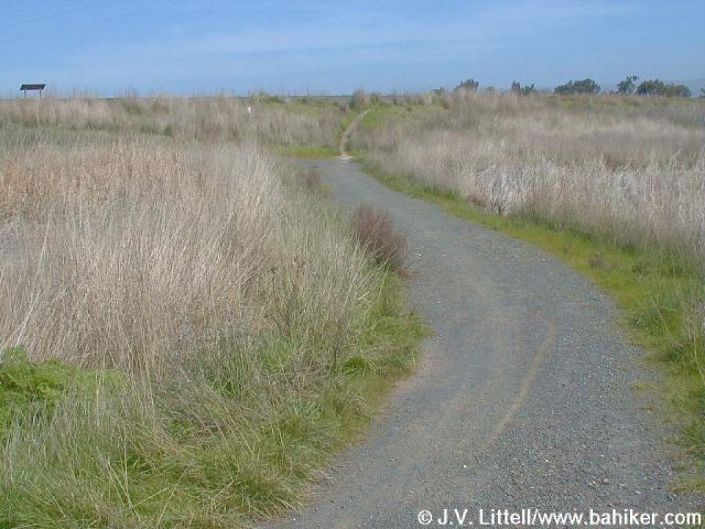
 The D.U.S.T. Trail |
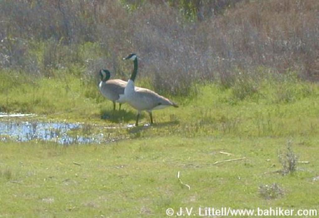 Geese |
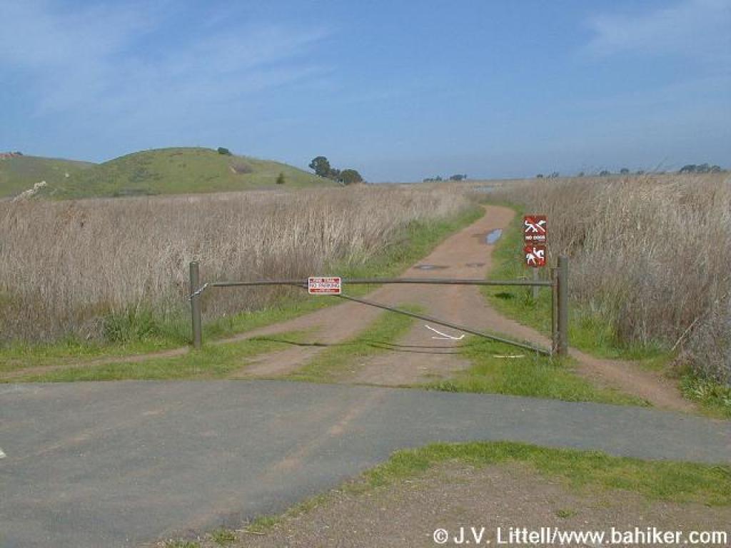
 Approaching the junction with Alameda Creek Trail |
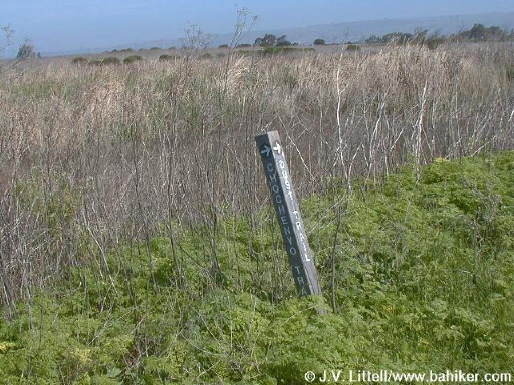
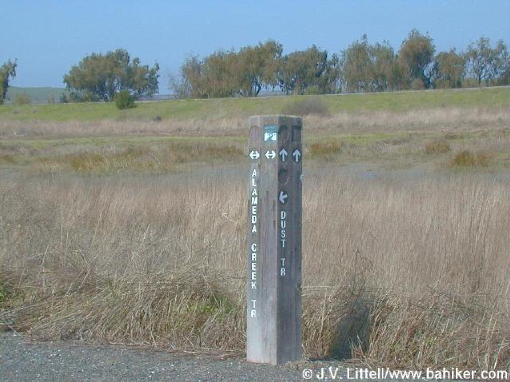 Signpost at junction |
||||
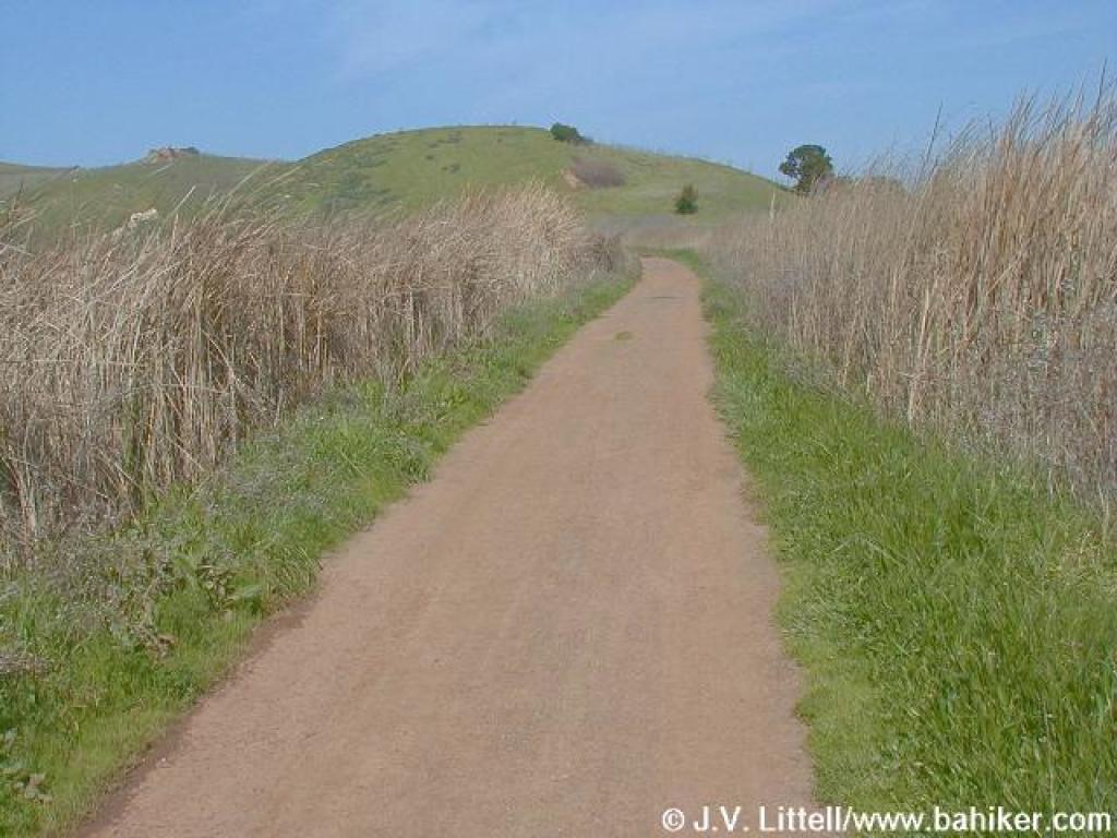
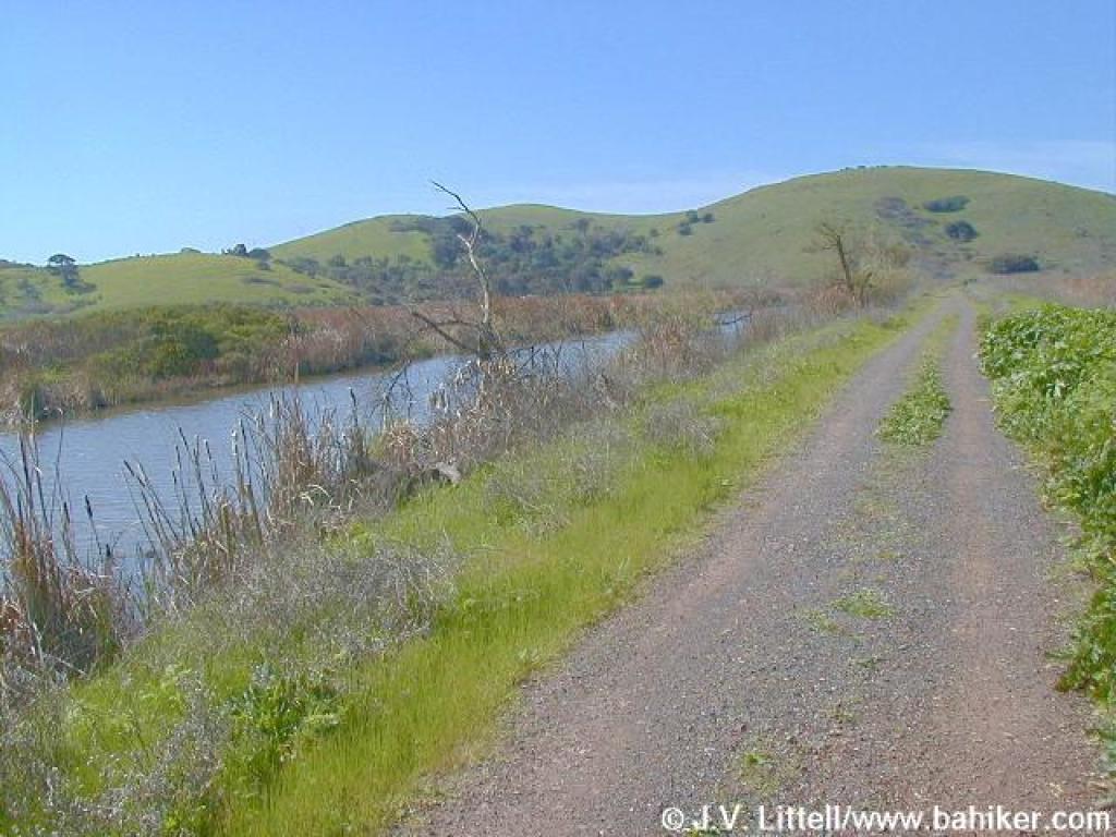
 Alameda Creek Trail |
 Looking west from the junction |
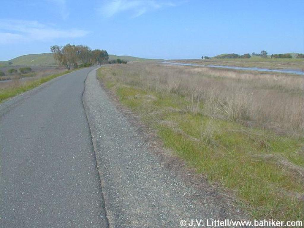 Alameda Creek Trail |
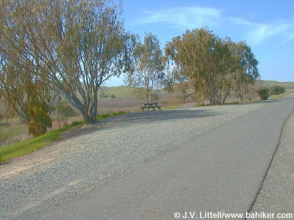 Picnic Spot |
||||
 Looking west |
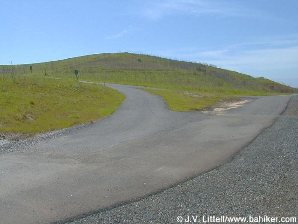 Junction |
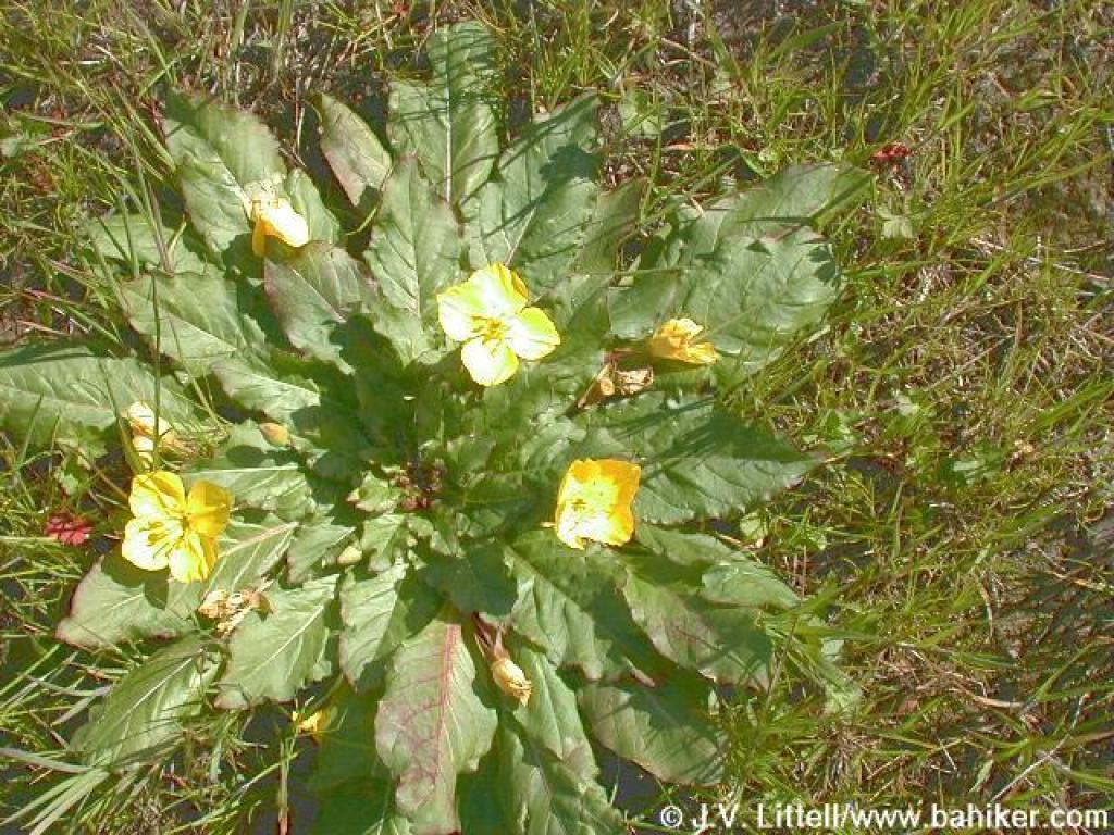 Suncups |
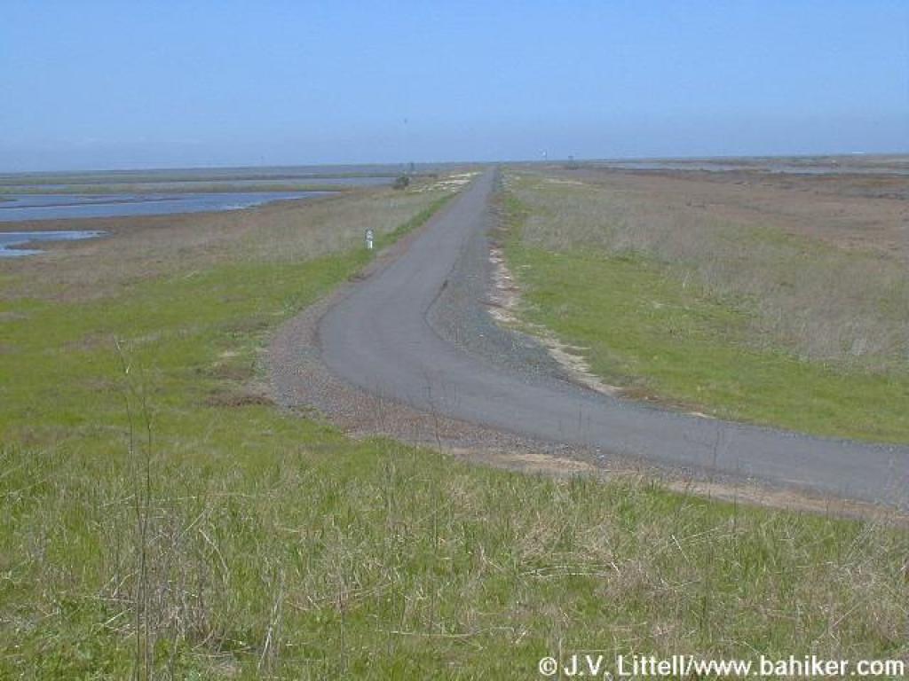 Trail continuing into Don Edwards Wildlife Refuge |
||||
 Signpost |
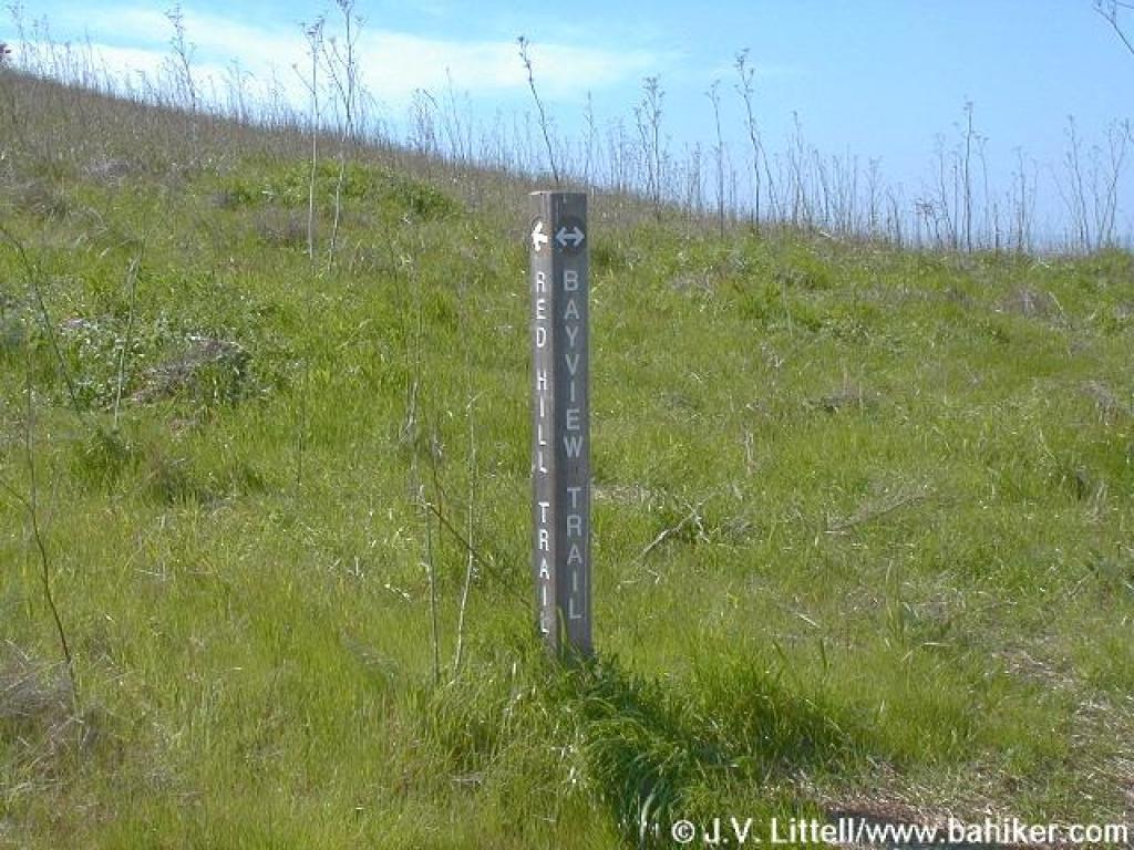
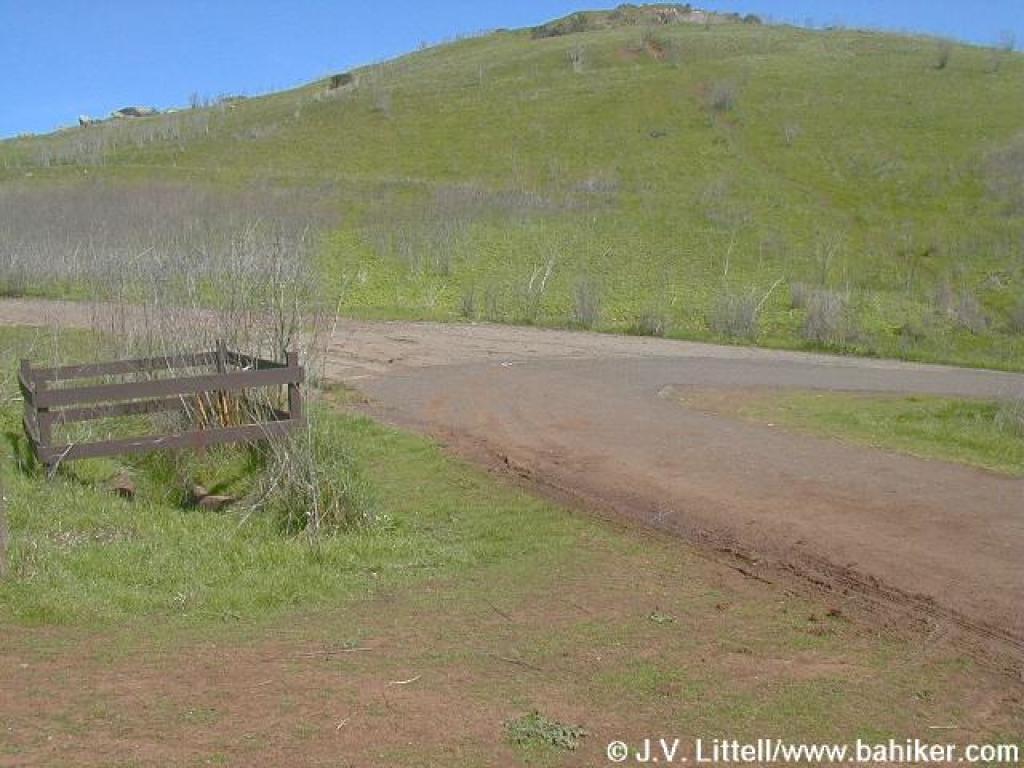
 Junction with Red Hill Trail |
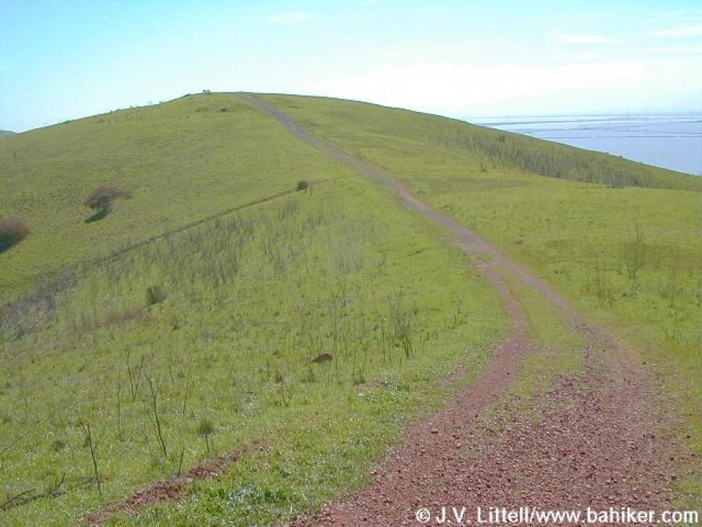
 Red Hill Trail |
 Looking west |
||||
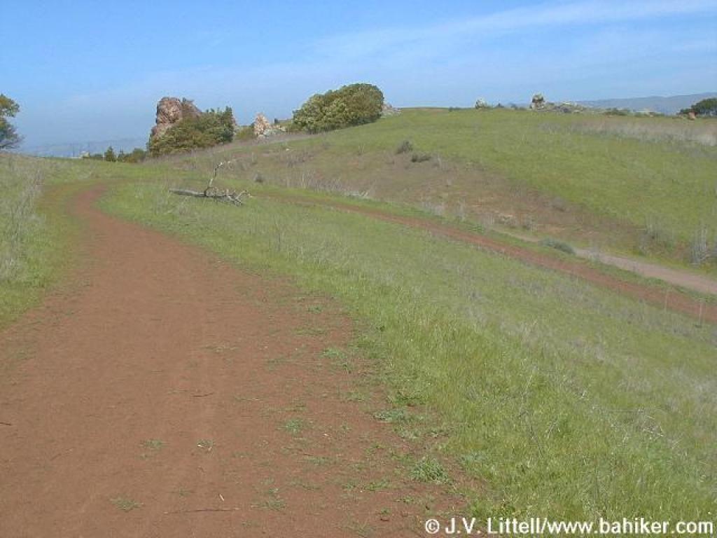
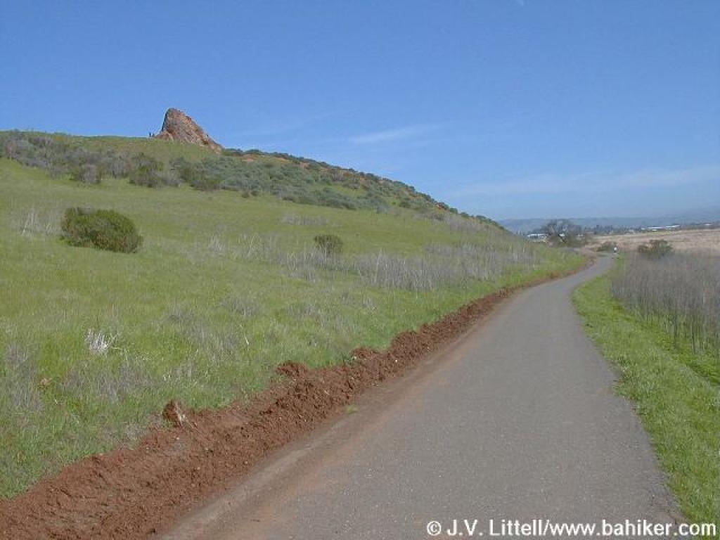
 Red Hill Trail |
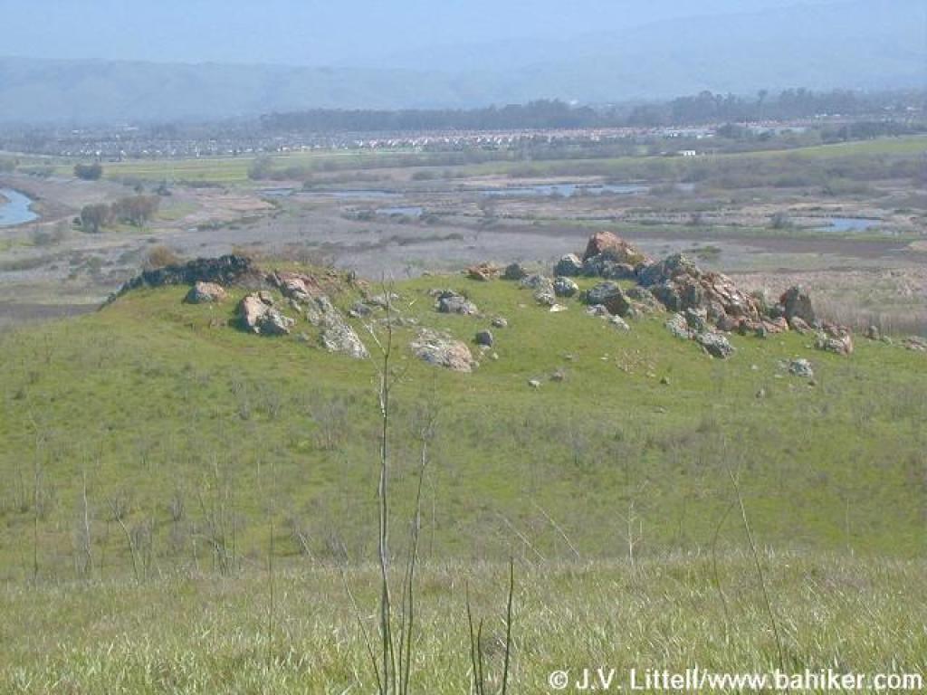 Rocks on the east side of the trail |
 East |
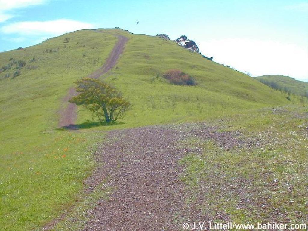
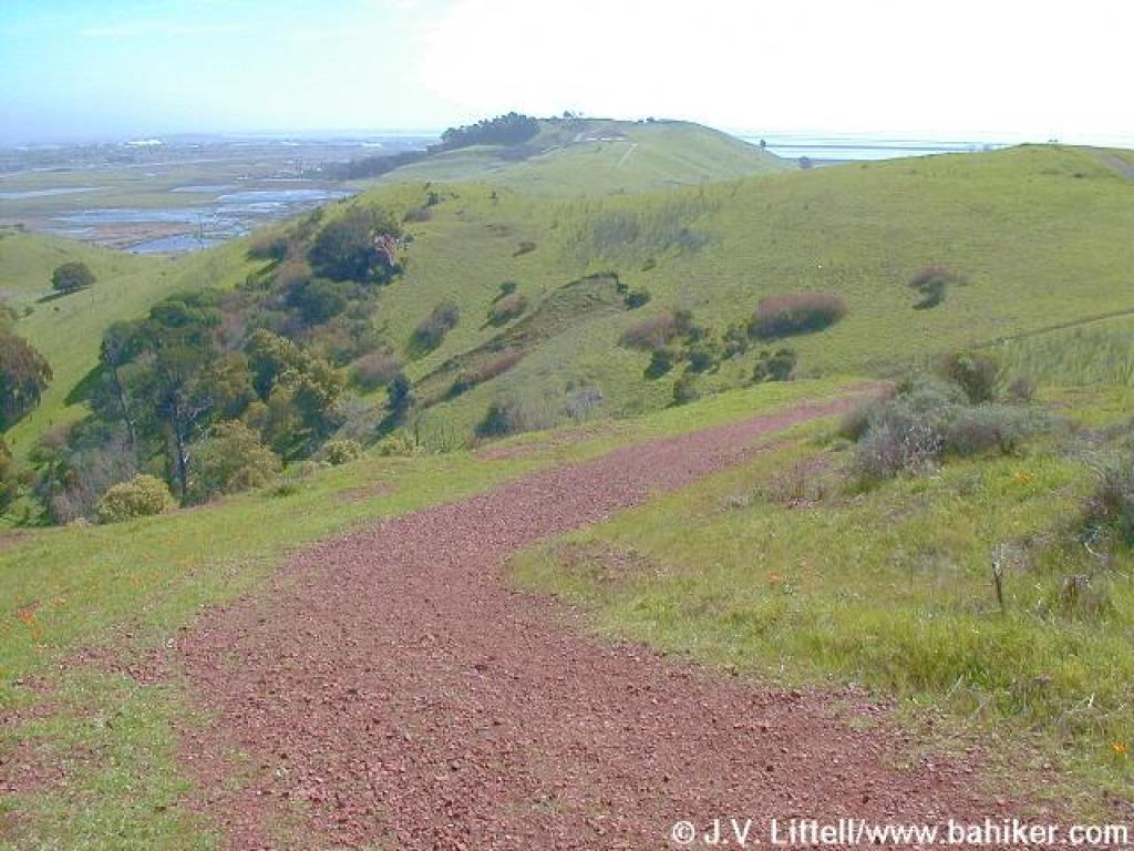
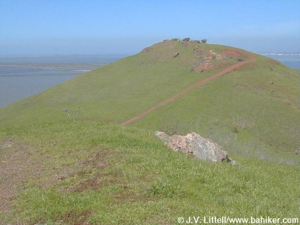
 Red Hill Trail |
||||
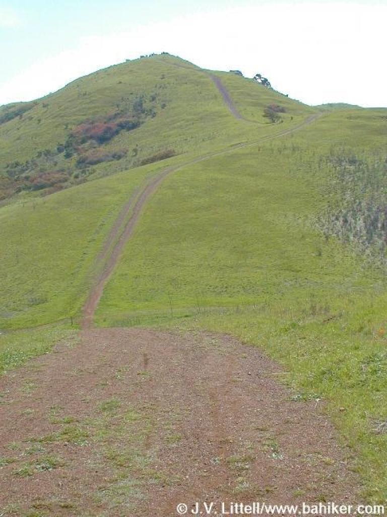 Roller coaster |
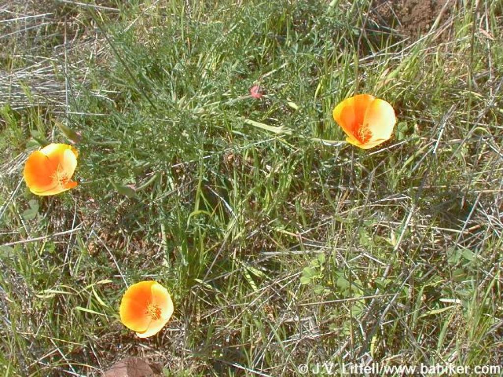 California poppies |
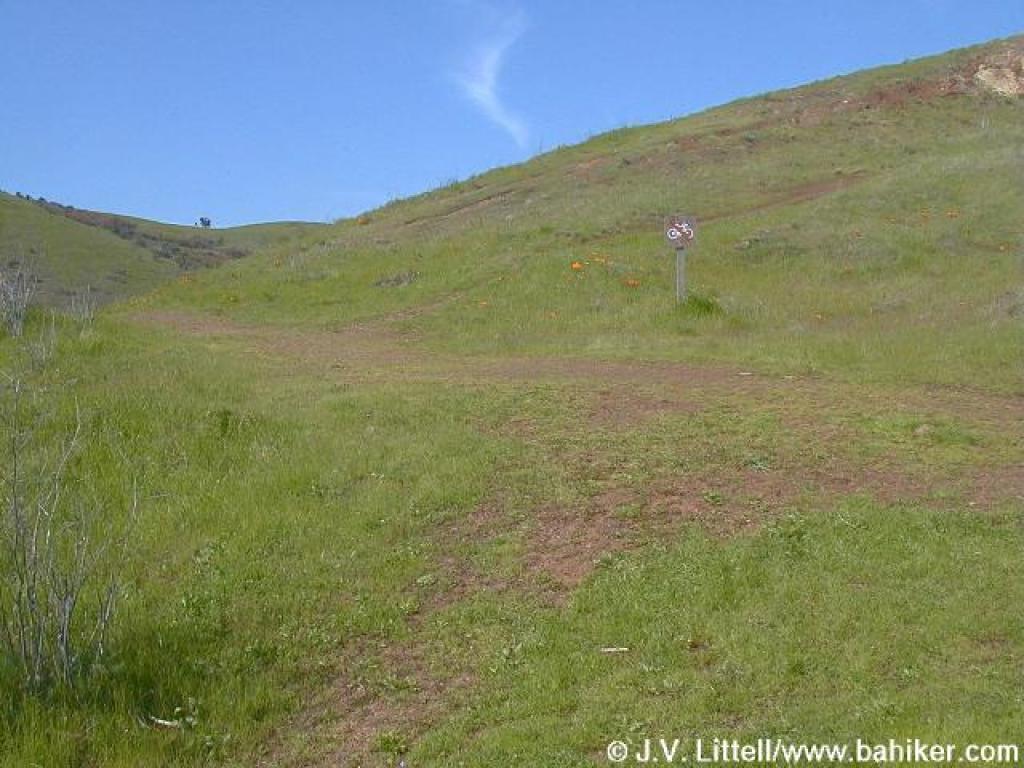
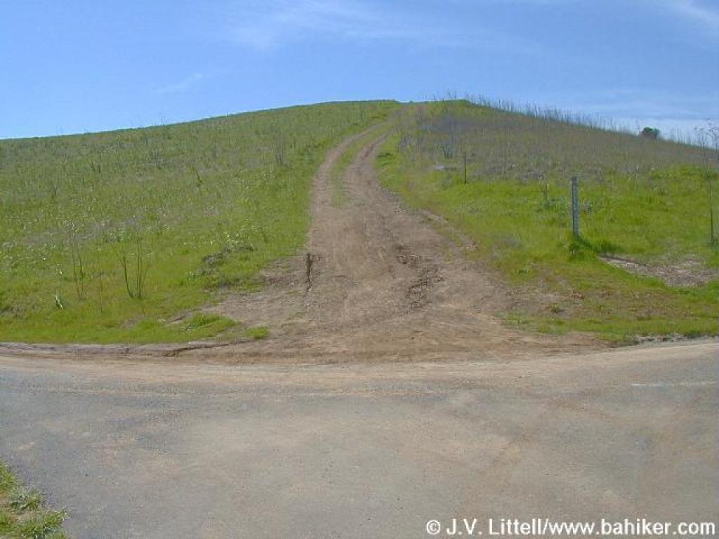
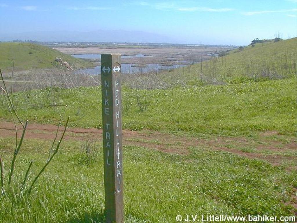 Junction with the Nike Trail |
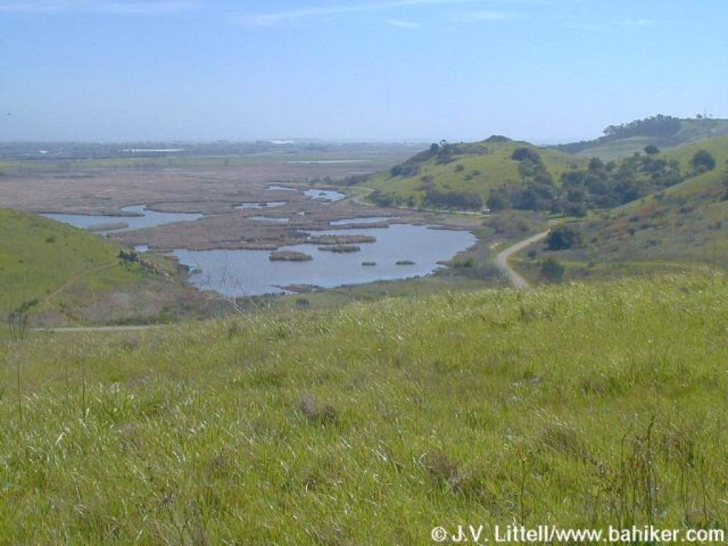
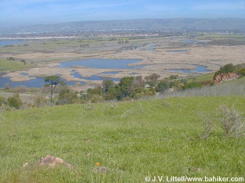
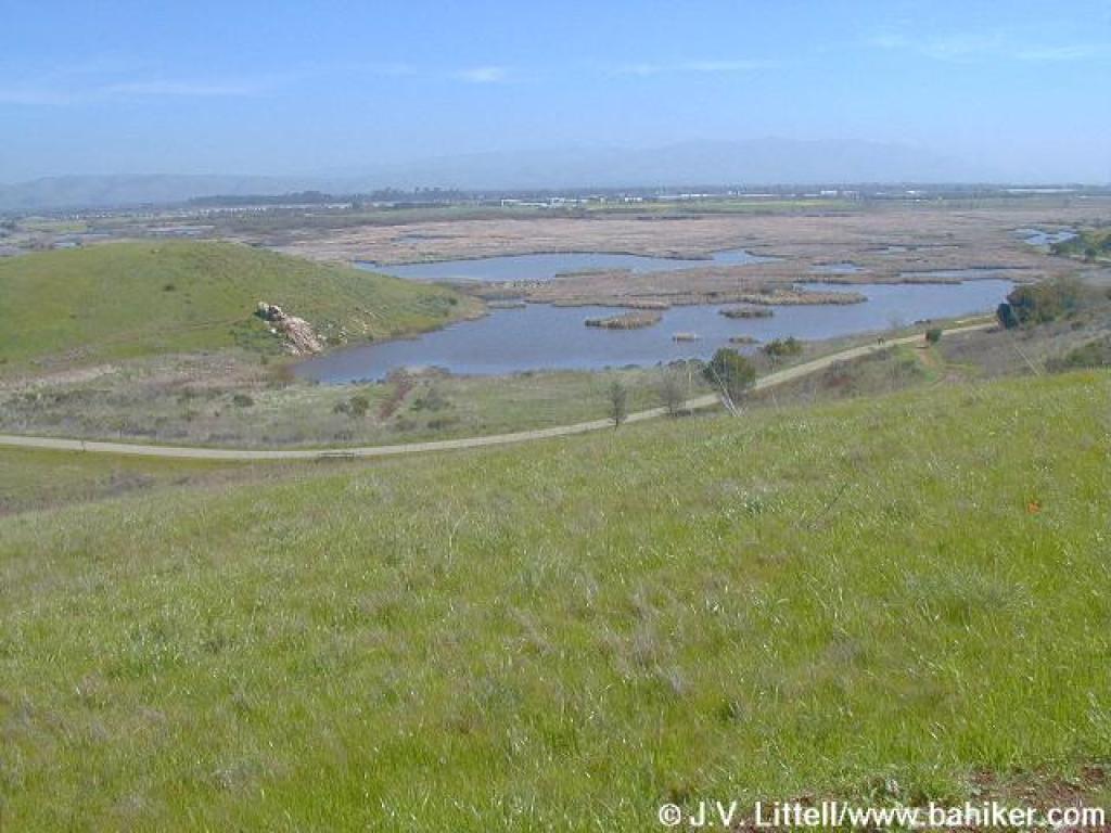 Looking east to the marsh |
||||
 Heading to the crest |
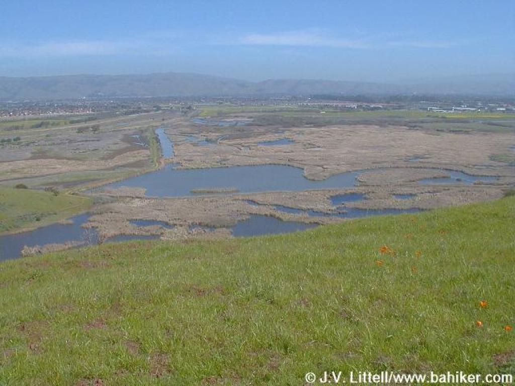
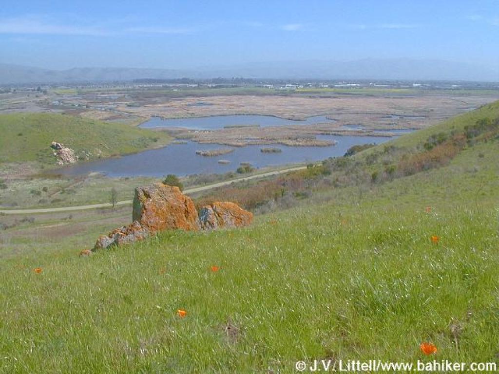 Rocks, poppies, and a view of the marsh |
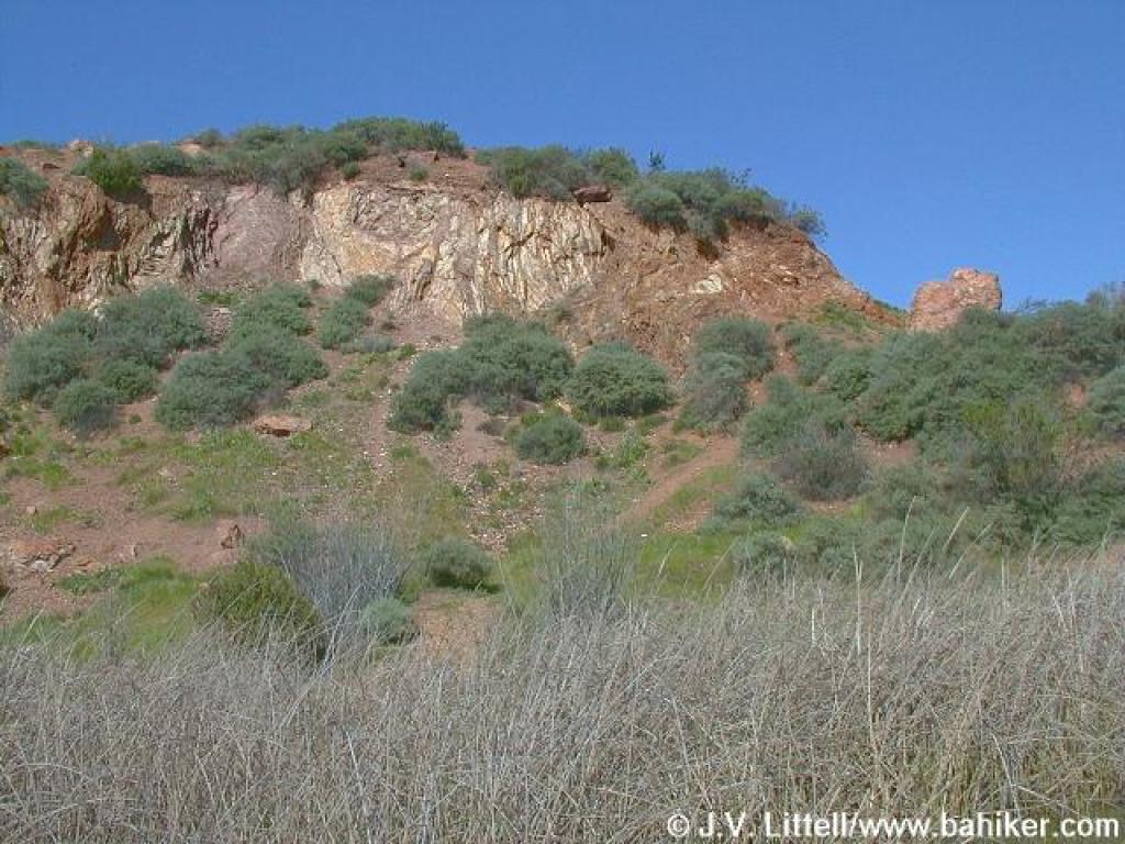
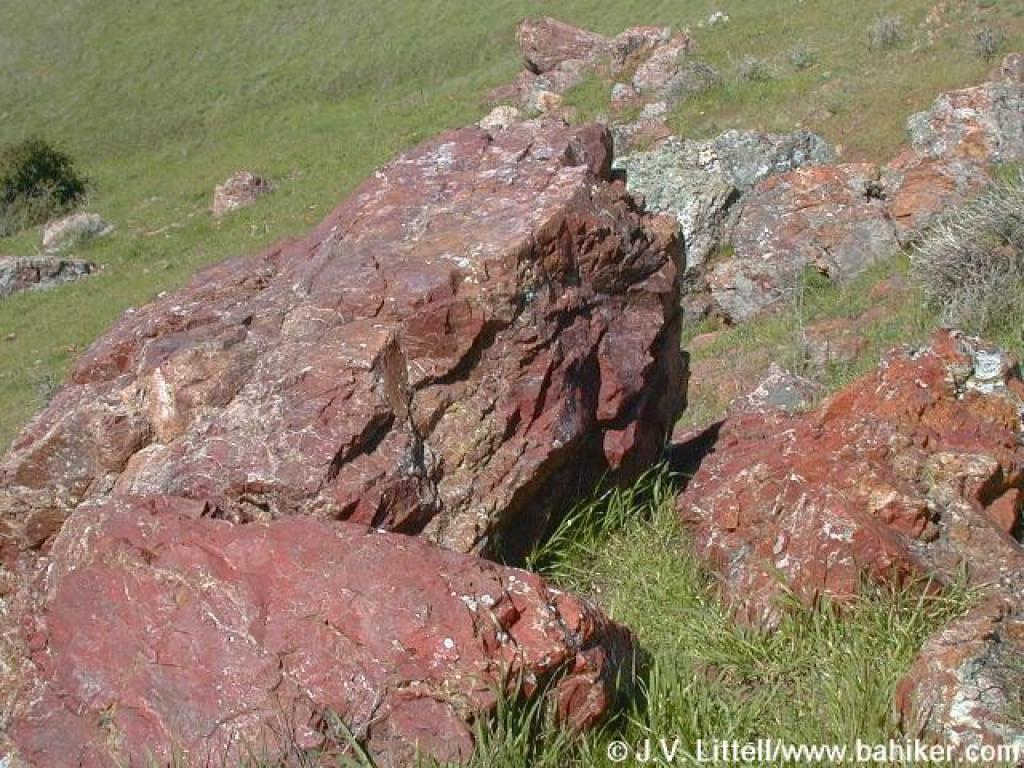 Rocks |
 Looking back |
||||
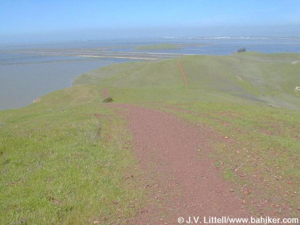
 East |
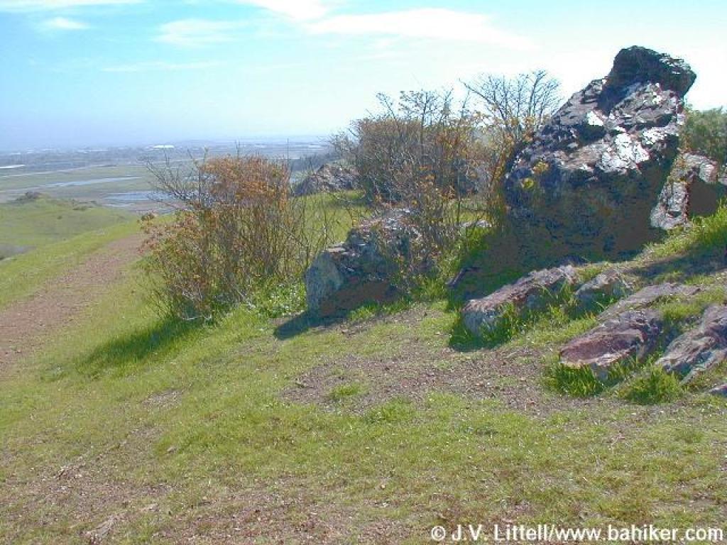 Poison oak shrubs and rocks |
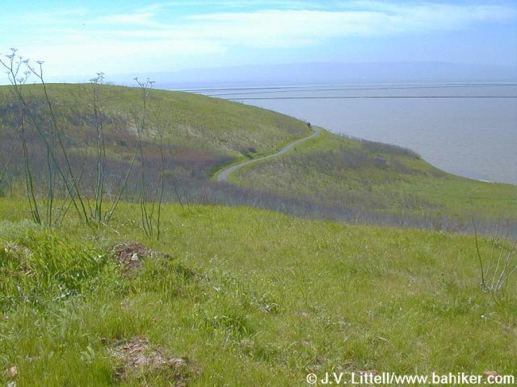
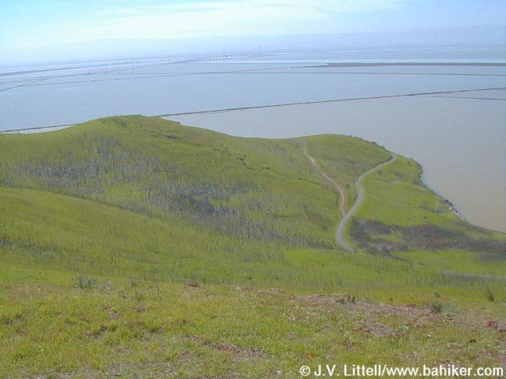 Bay, with the Dumbarton Bridge in the background |
 Rocks and poison oak |
||||
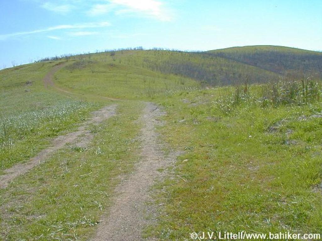
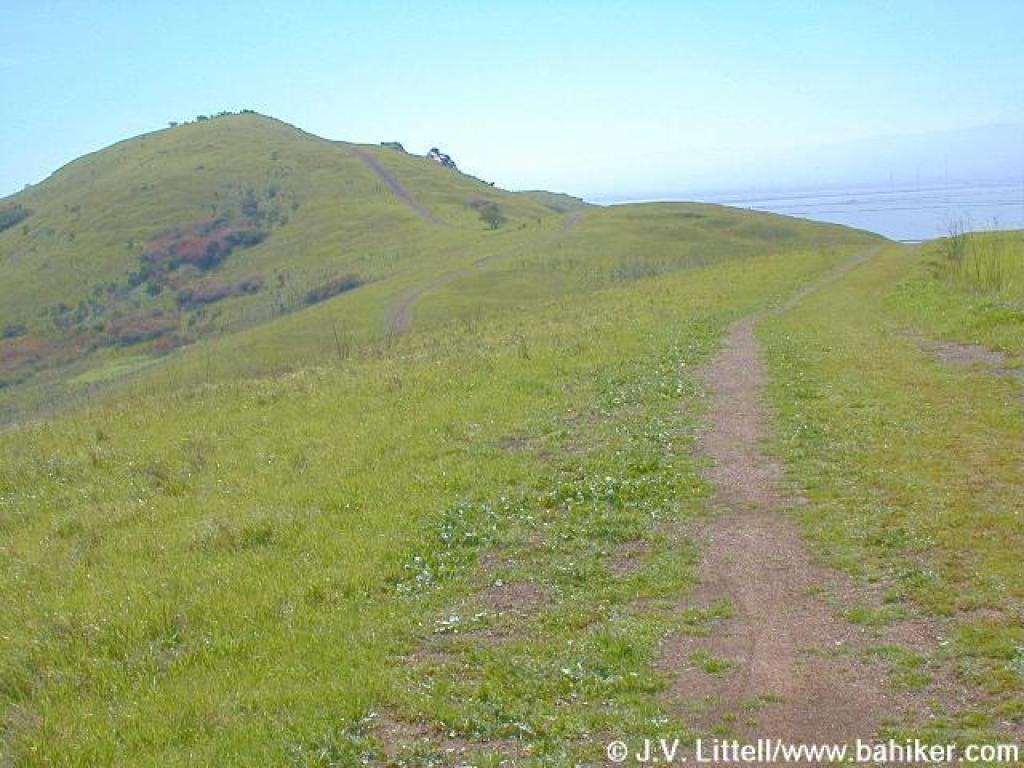
 Leaving the crest and heading south |
 The Glider Hill Trail breaks off and heads downhill east |
 Glider Hill Trail |
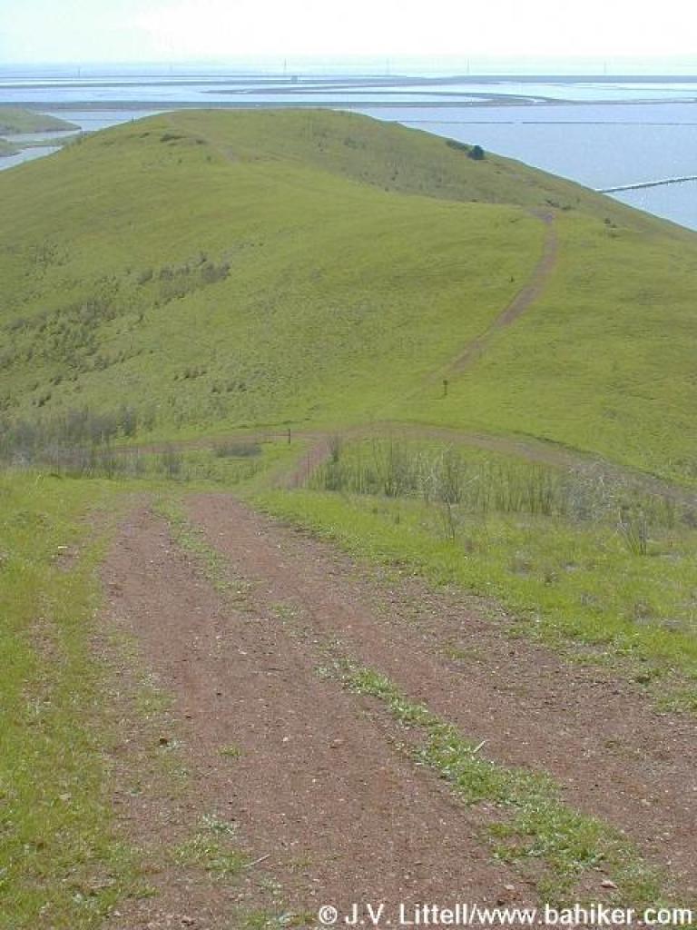
 Looking back to Red Hill |
||||
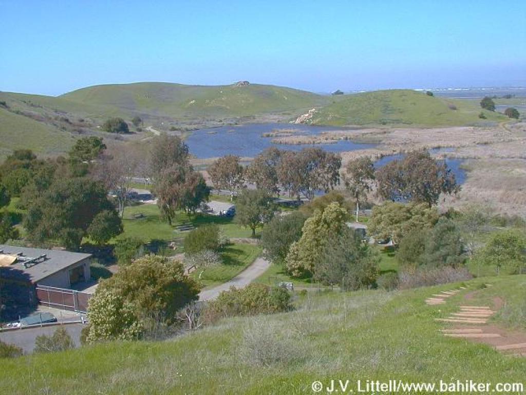
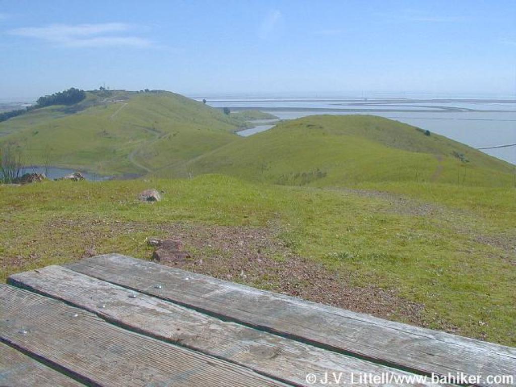 View from the picnic table |
 East |
 Quite a drop |
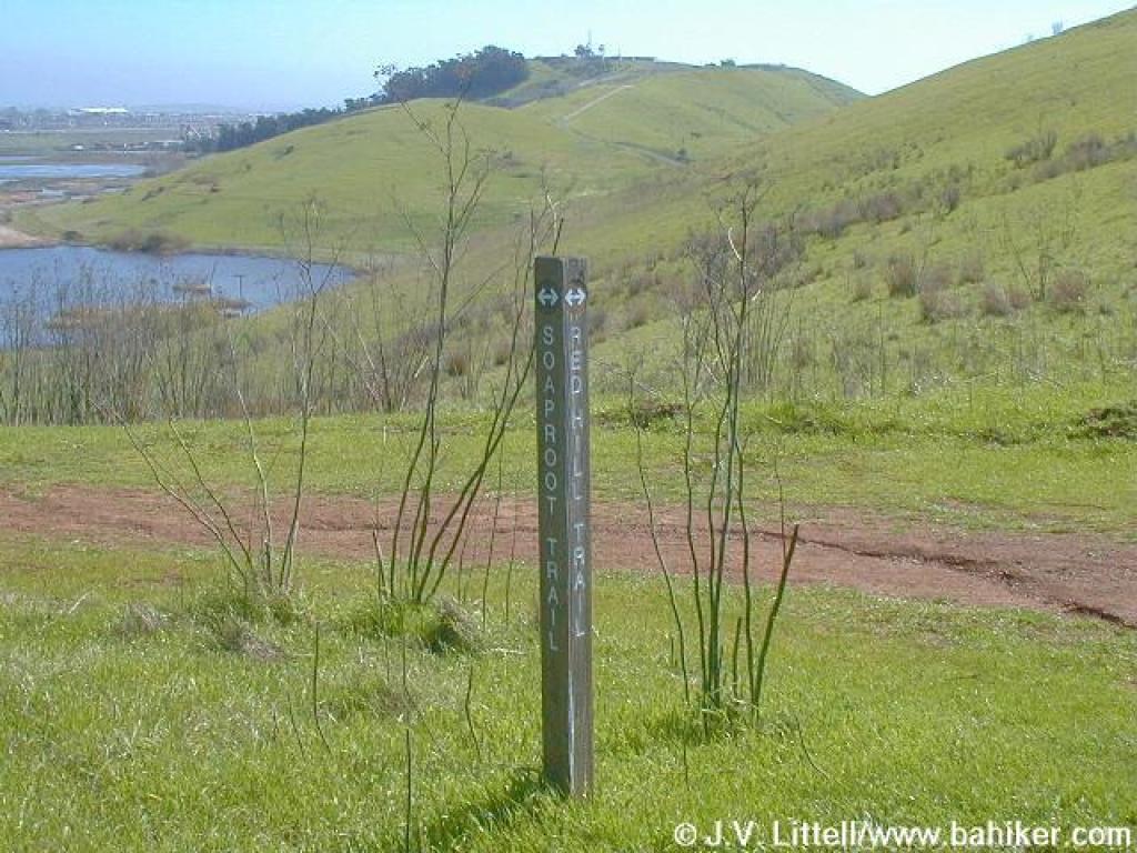 Junction with Soaproot Trail |
||||
 Soaproot Trail |
 Looking downhill to the Dairy Glen group campsite |
 Soaproot Trail |
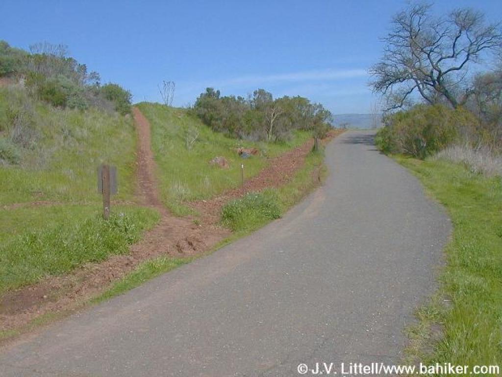
 Junction with Quail Trail and Bayview trail |
||||
 Bayview Trail |
 Bayview Trail |
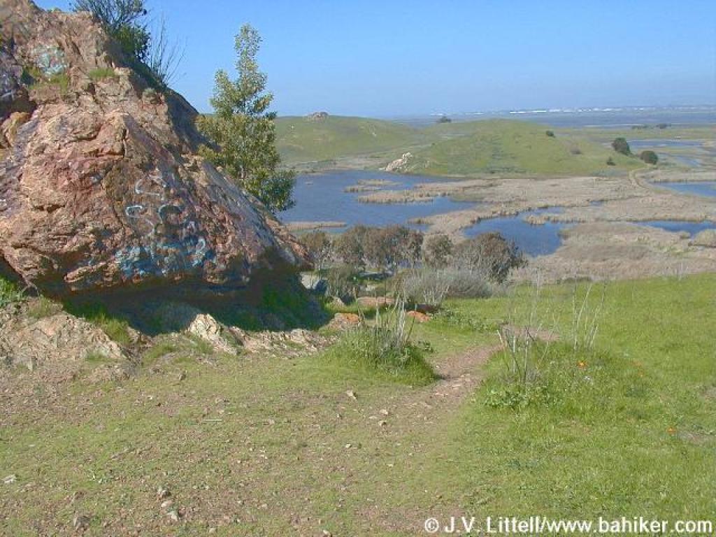
 Near the quarry |
 Spur to Quarry Staging Area |
||||
 Spur to Muskrat Trail |
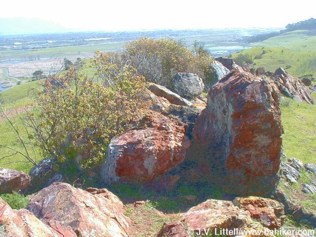
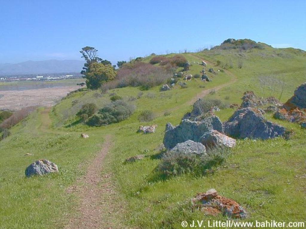
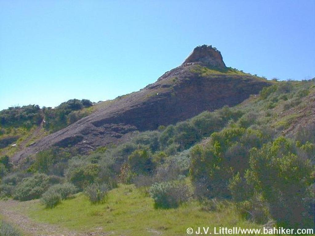 Dramatic rock |
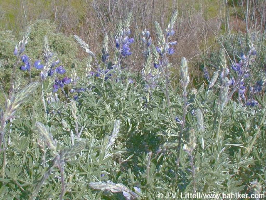 Lupine |
 Looking back |
||||
|
|
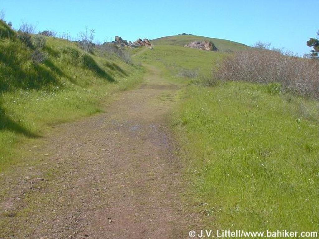 Uphill |
 Looking back to split |
 Trail curves around rock |
||||
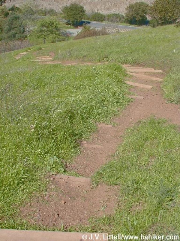 Steps downhill |
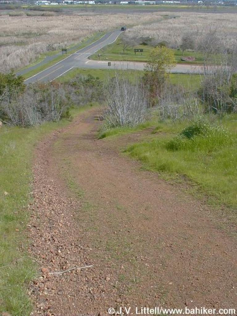
 Looking down to the trailhead |
Go to Bay Area Hiker Coyote Hills page Go to Bay Area Hiker Home Page |
|||||