| Photos from an April
2001 hike at Diablo Foothills Regional Park (click on any image for a larger view) |
|||||||
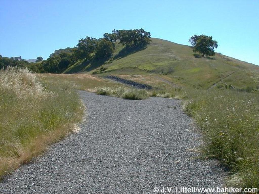
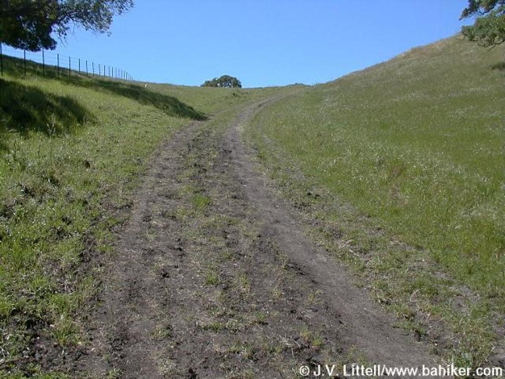
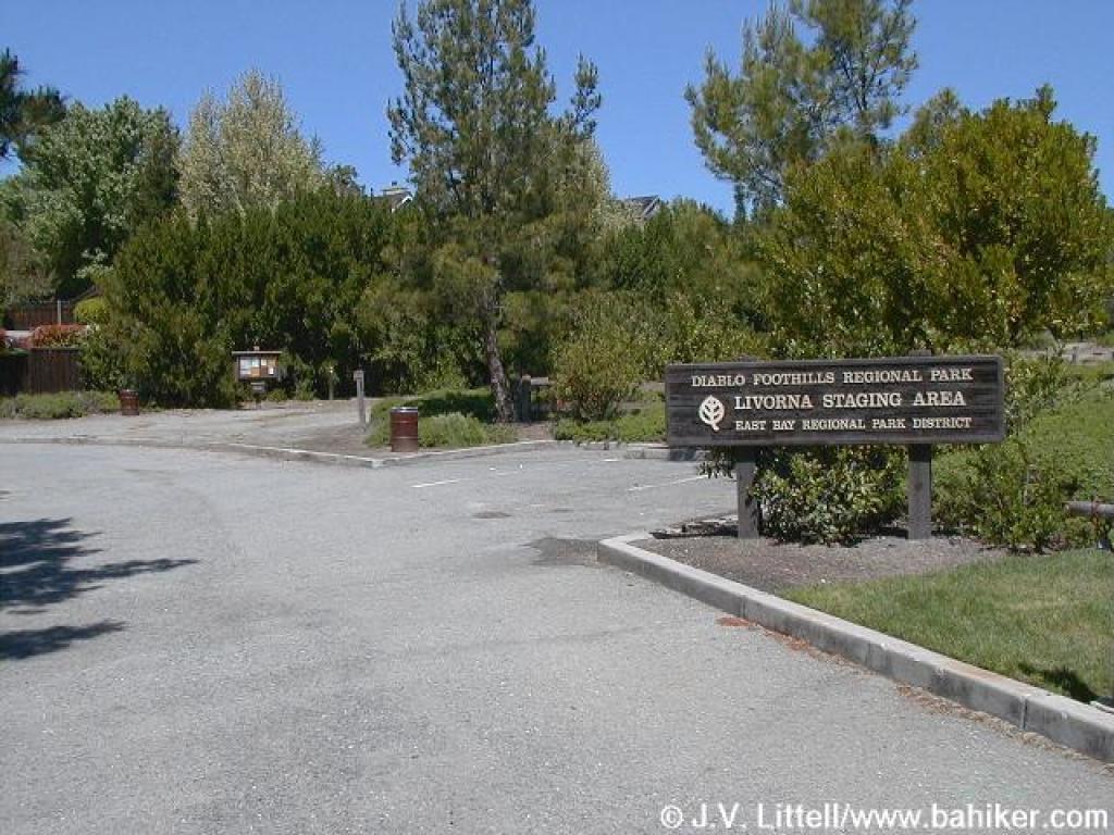 Trailhead |
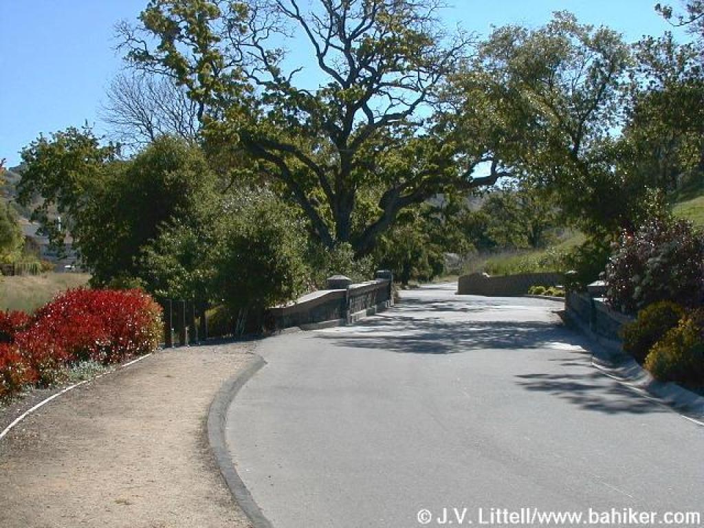 After crossing Livorna Road, turn right on Serafix and look for the trail on the left |
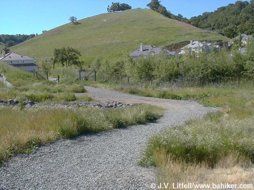
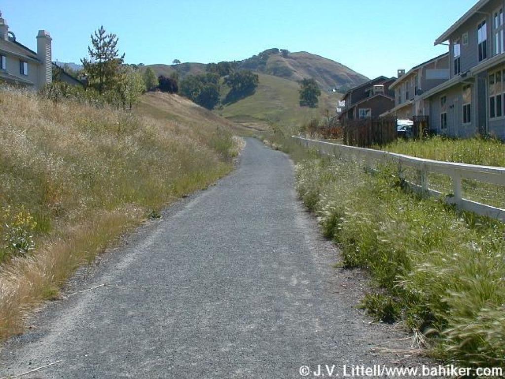 Houses on both sides |
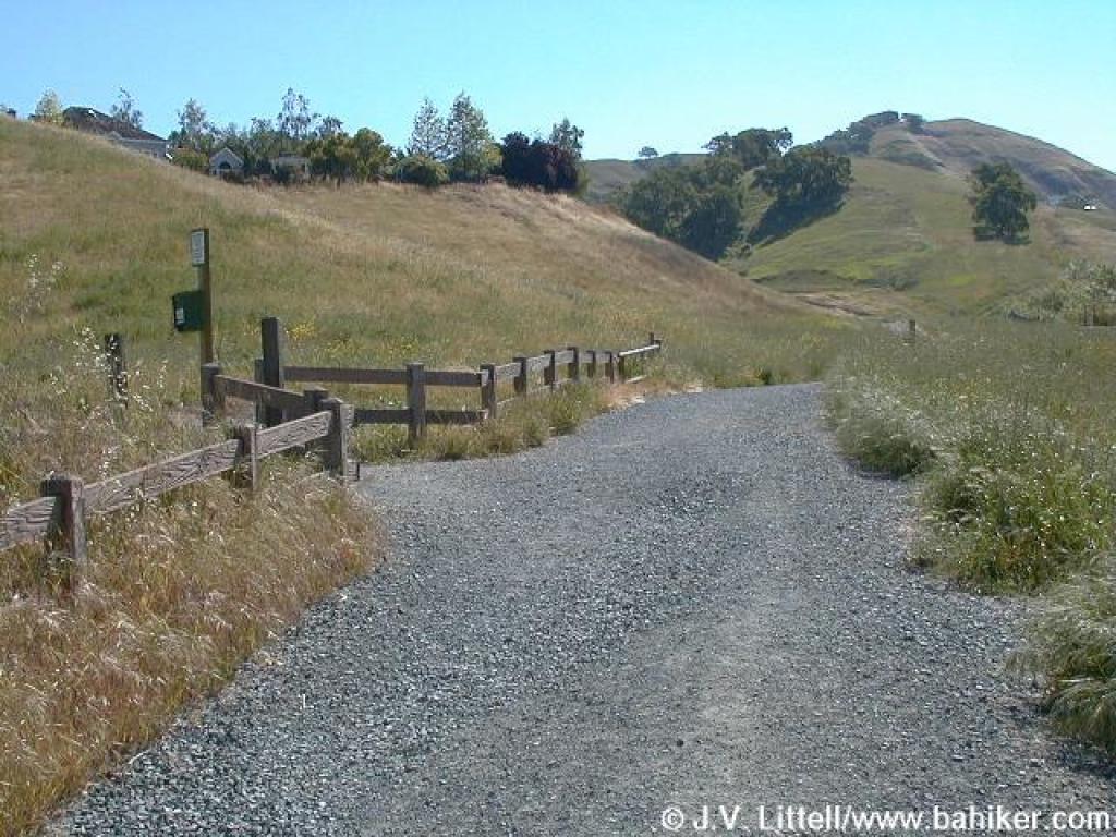 A few side paths feed into the trail near the houses |
||||
 Split; stay to the right |
 Another neighborhood entrance |
 Overgrown |
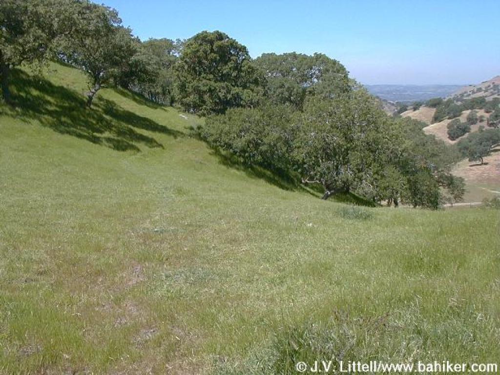
 Through oaks |
||||
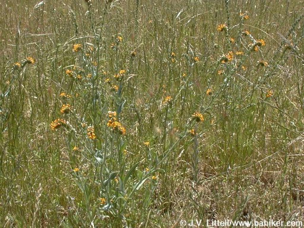
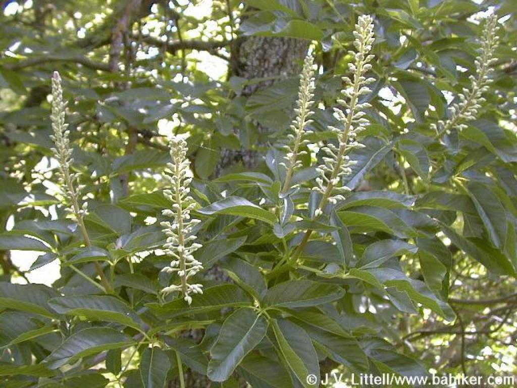 Buckeye |
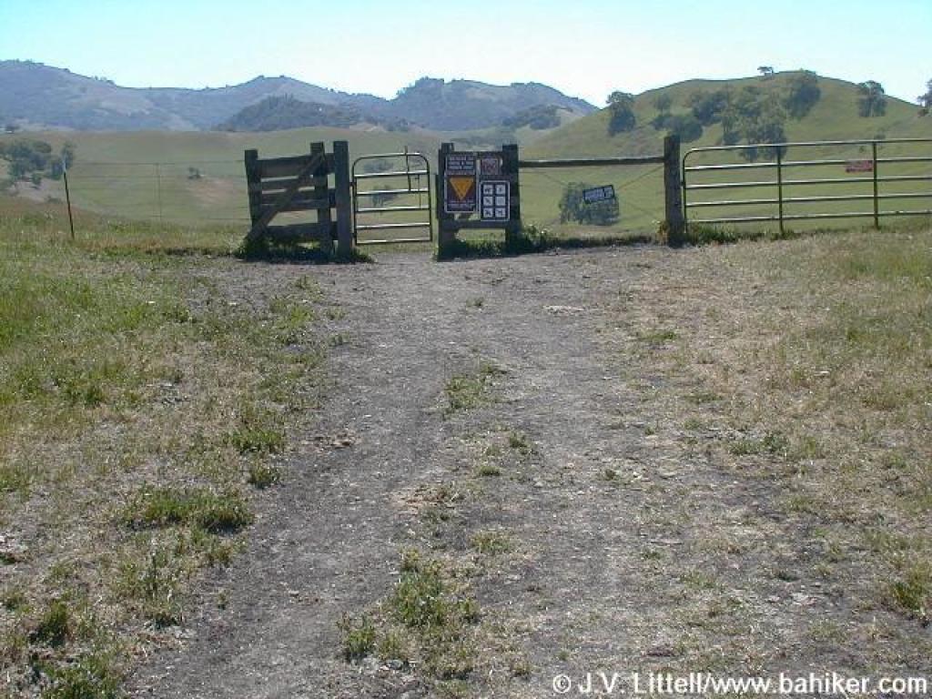
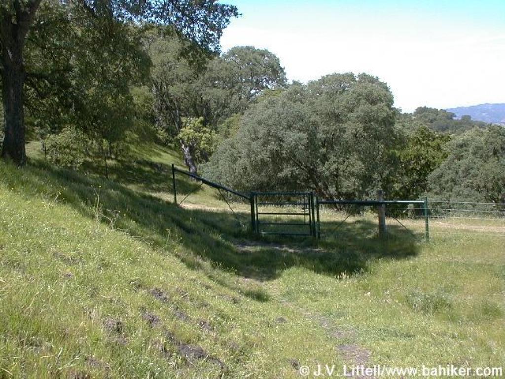
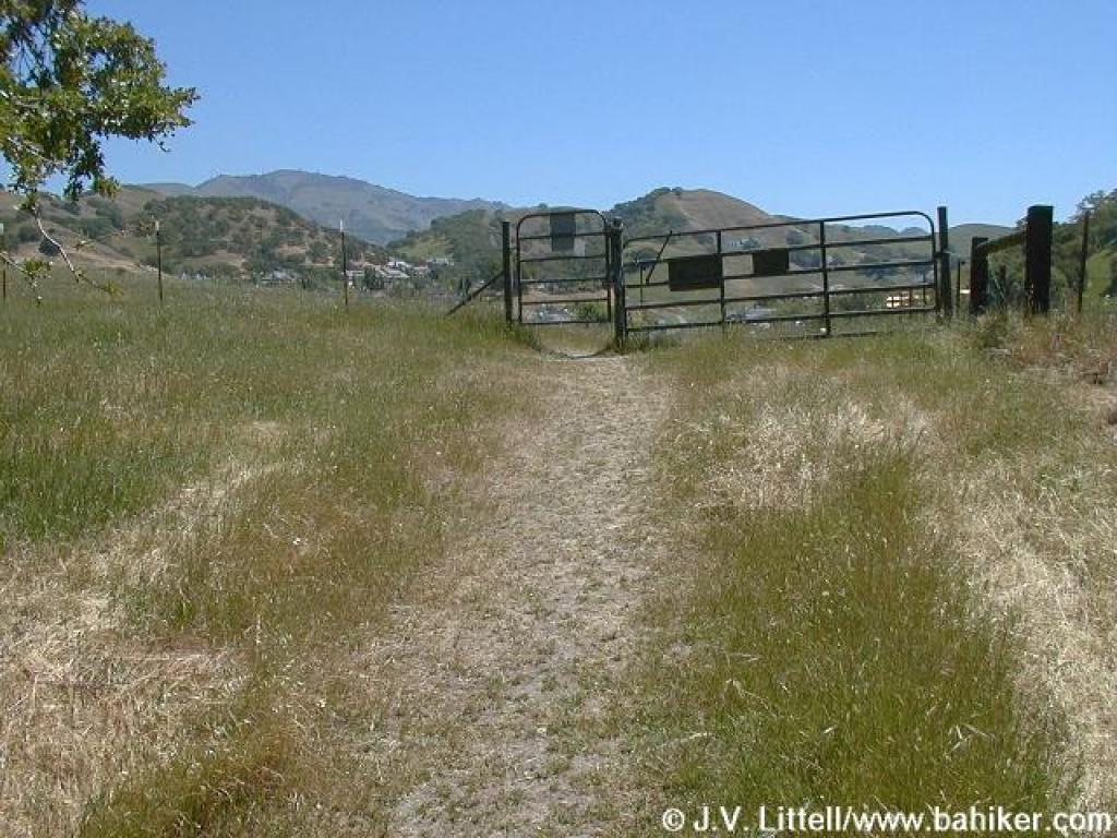
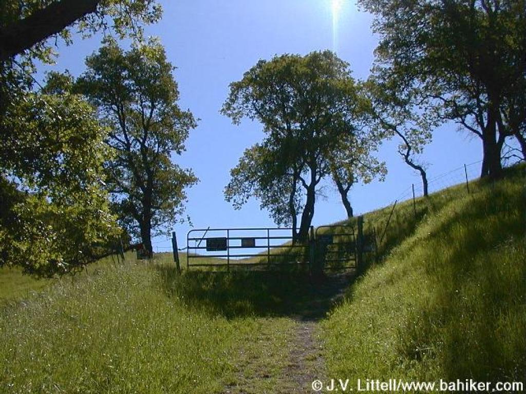 Gate |
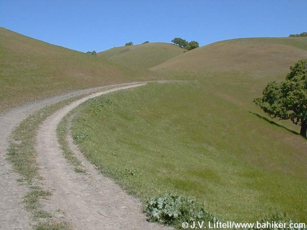
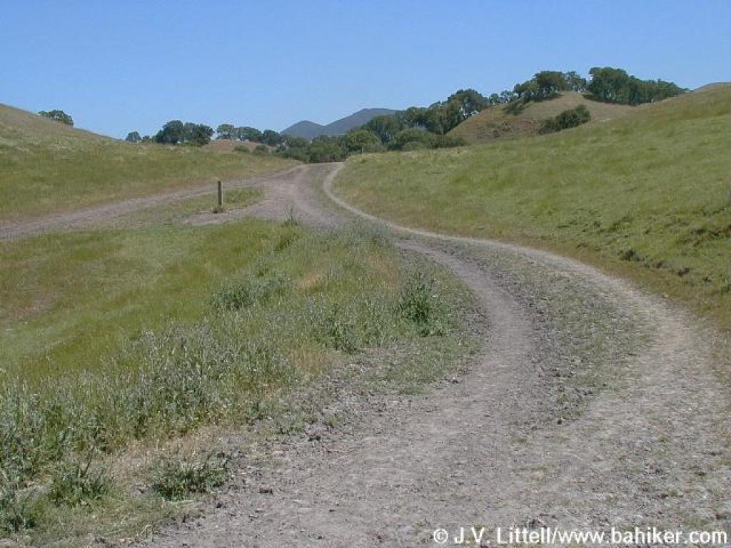
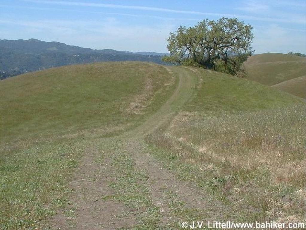
 Trail curves left |
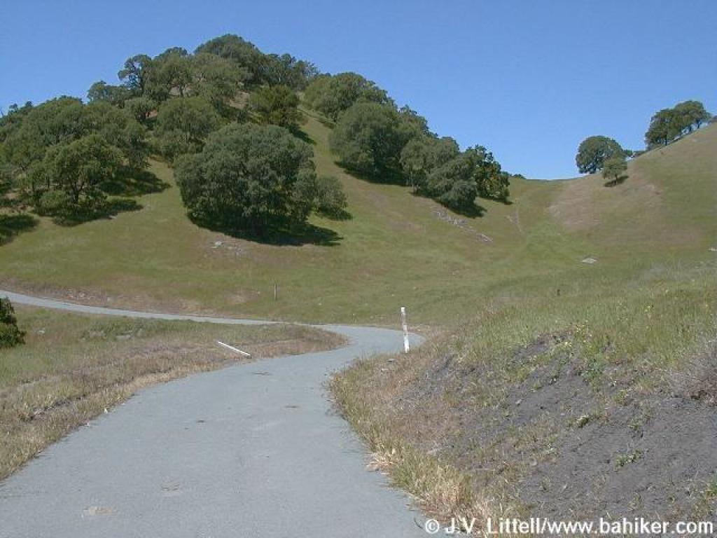
 Climbing |
||||
 Clarkia |
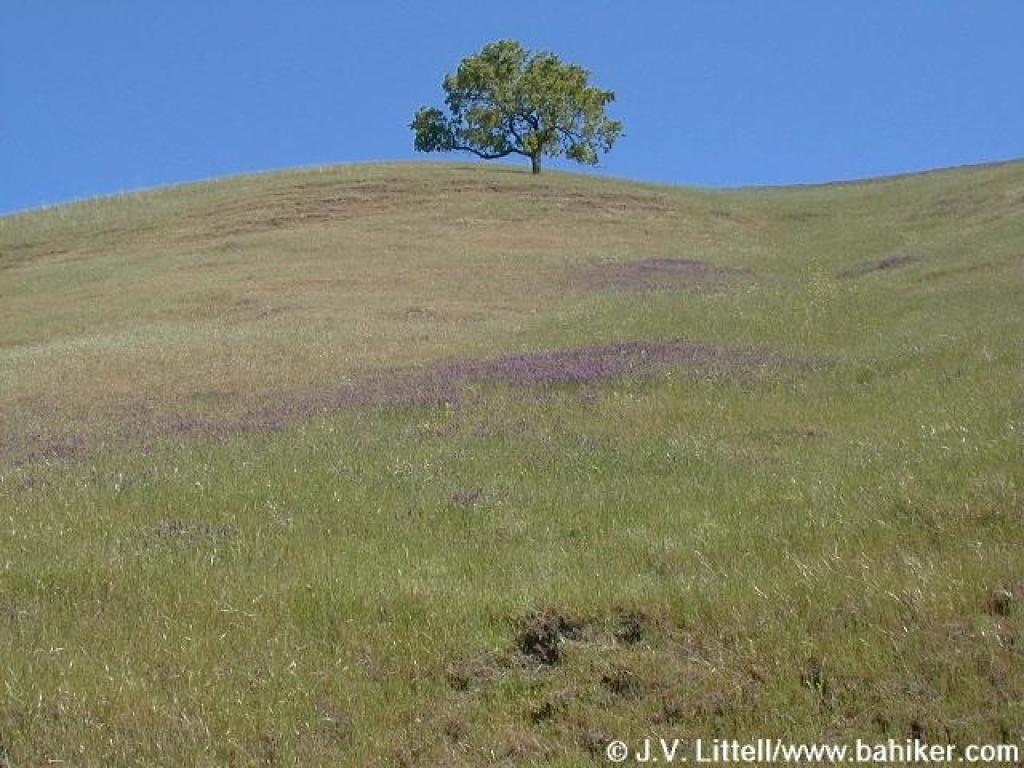
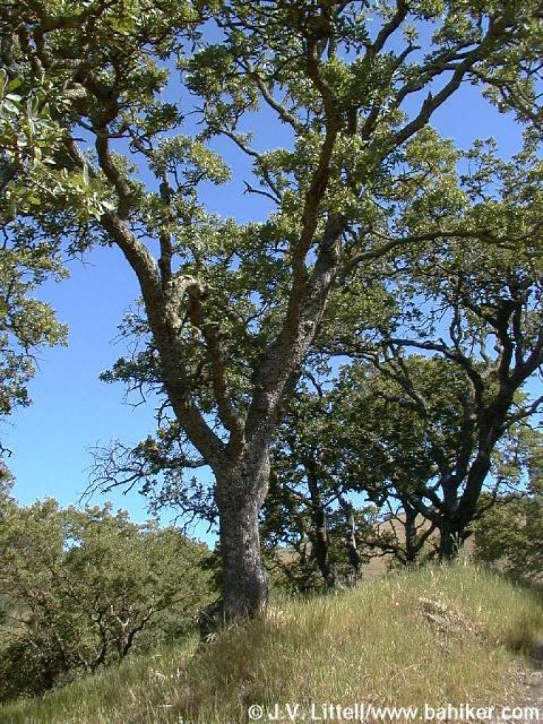 Blue oak |
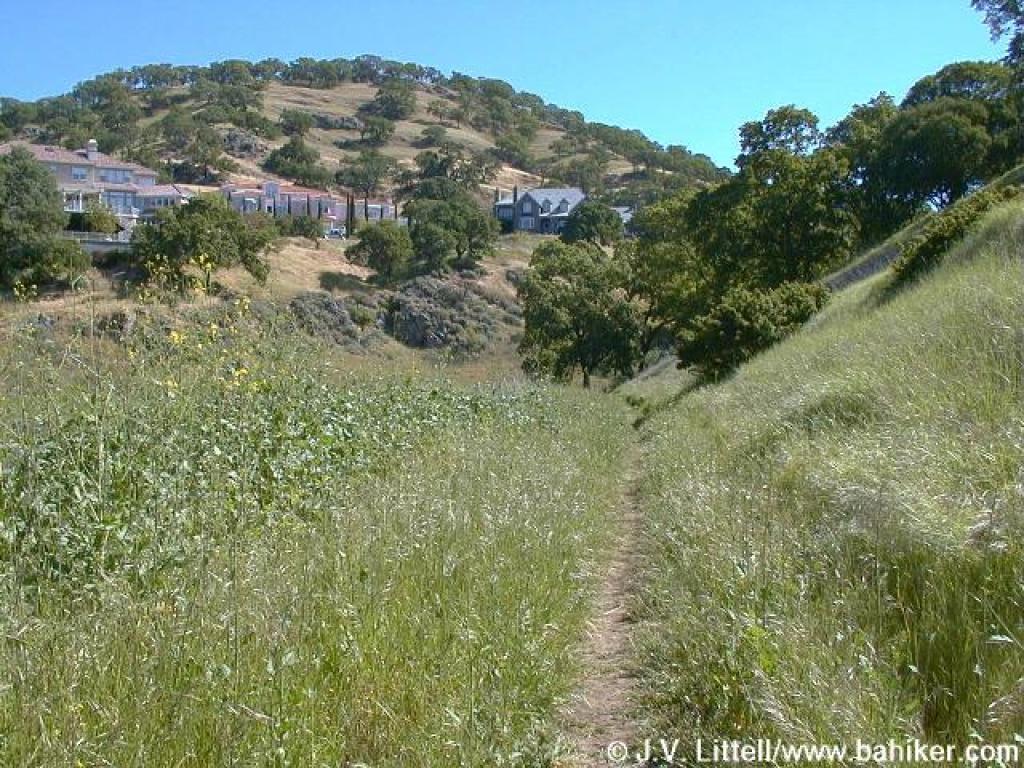
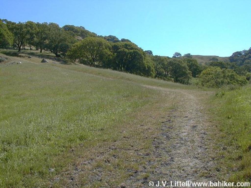
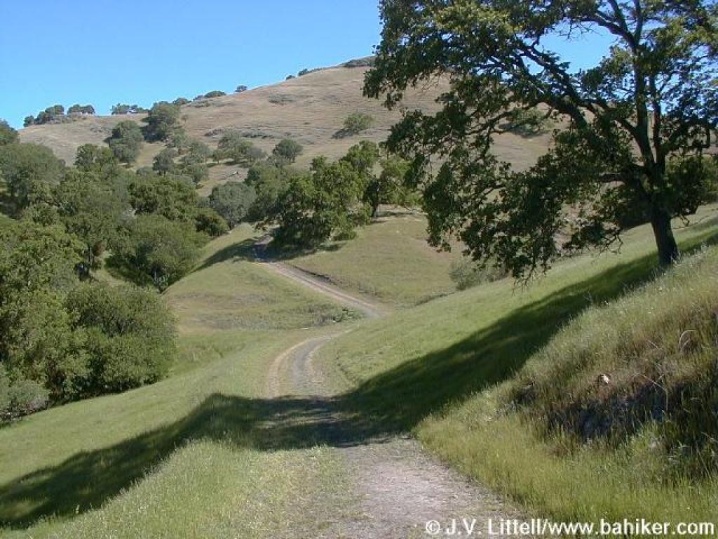 Alamo Trail |
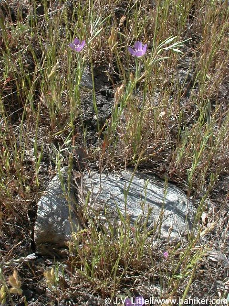
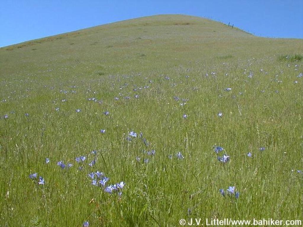
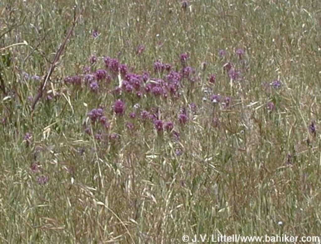
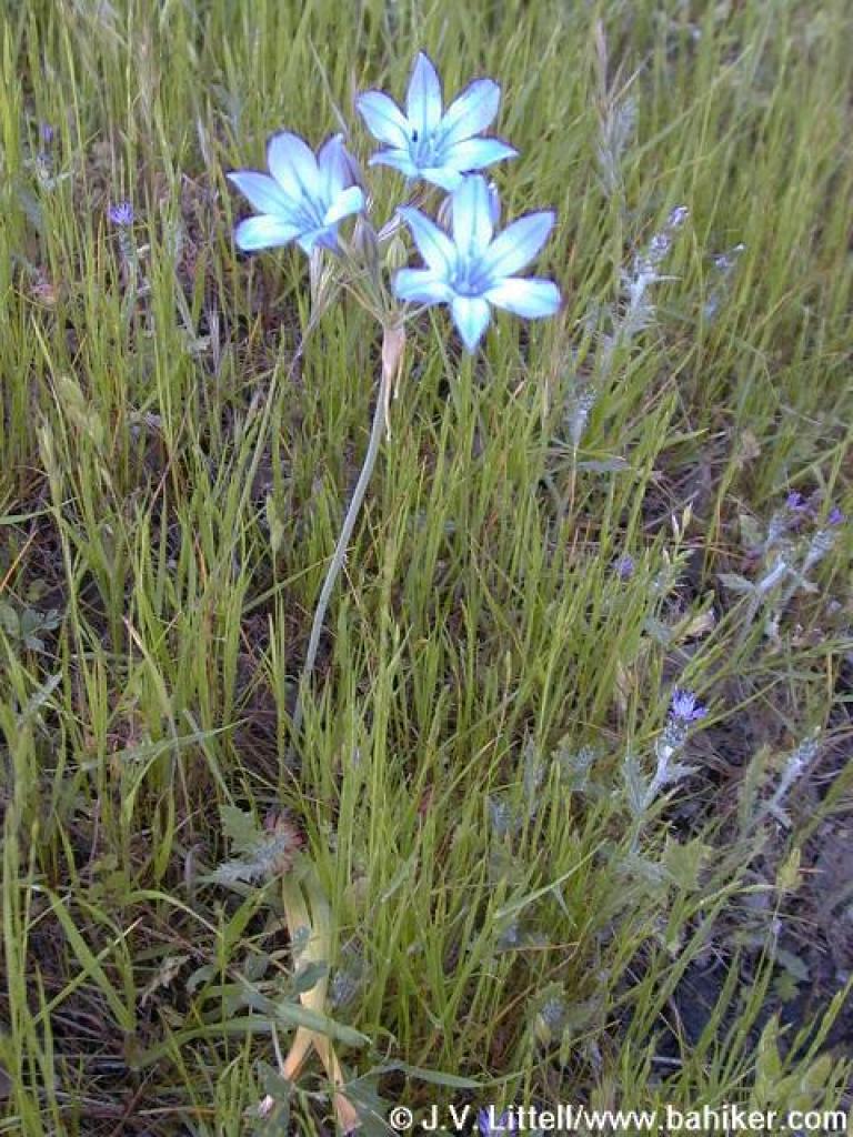 Ithuriel's spear |
||||
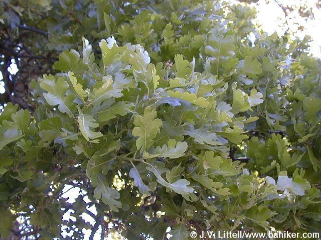 Valley oak |
 At junction with Hanging Valley Trail |
 Gate |
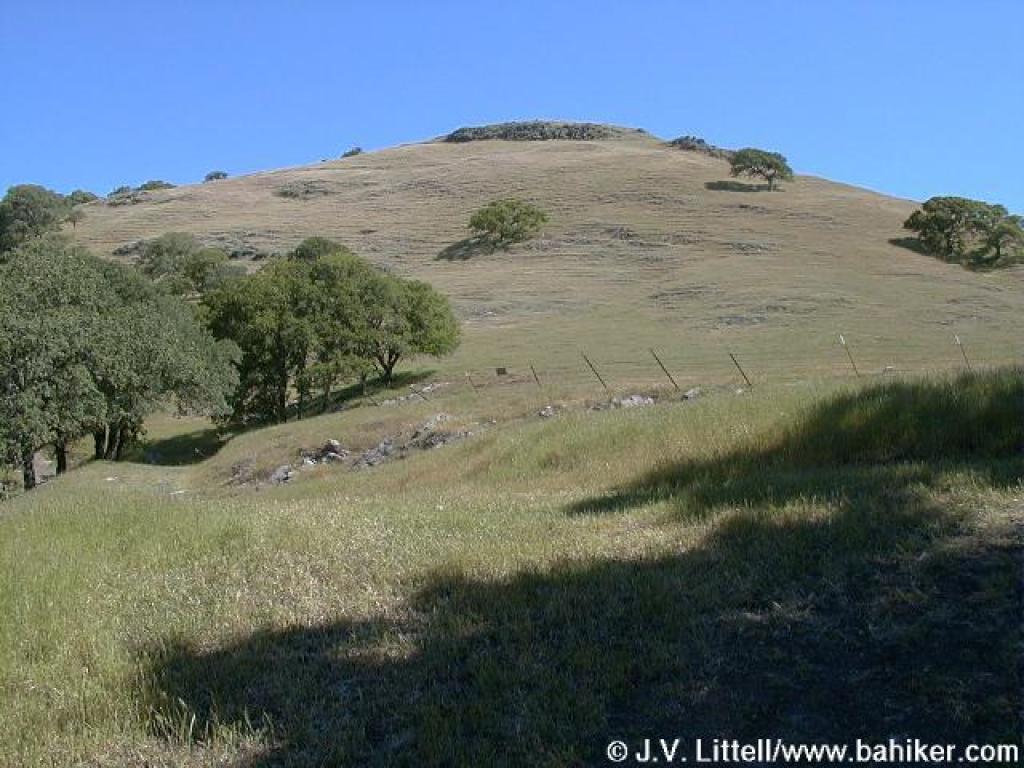
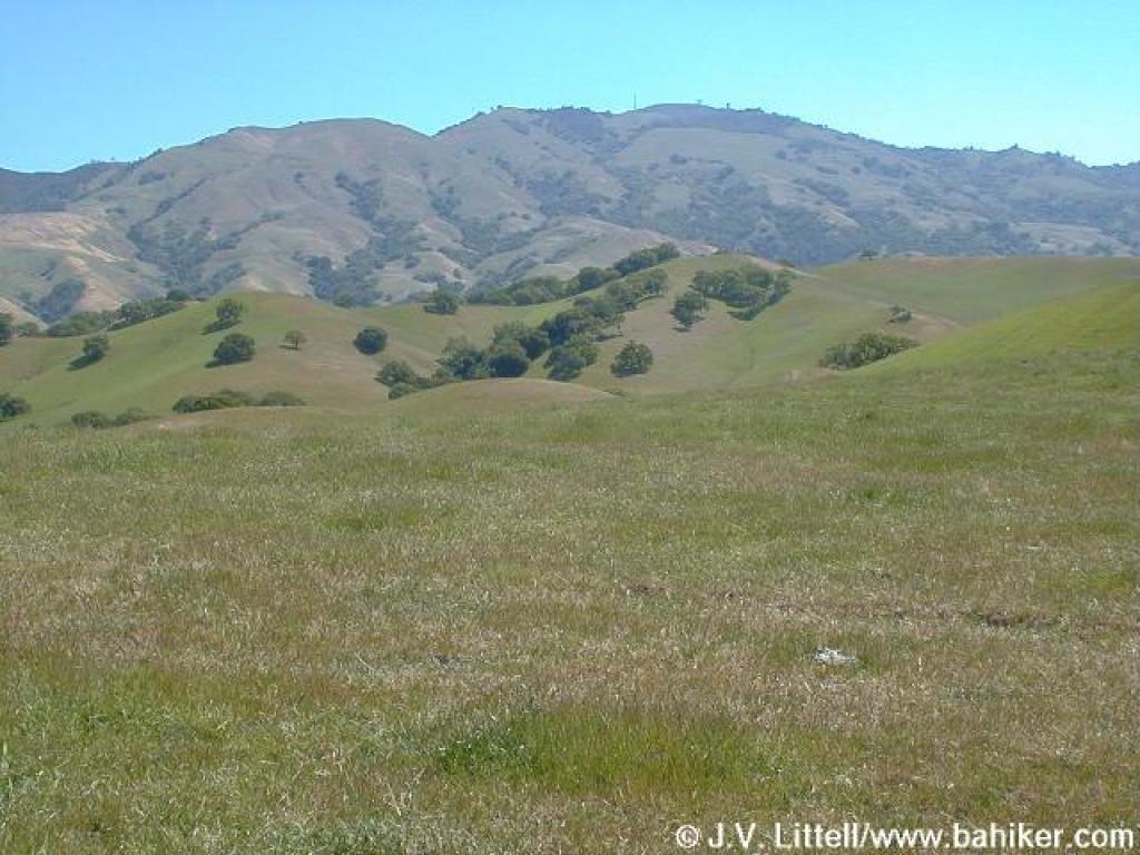
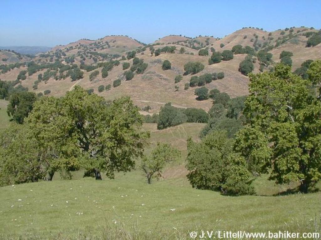
 View to Diablo from Alamo Trail |
||||
 Junction |
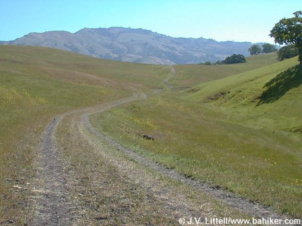
 Briones to Mount Diablo Trail |
 Mount Diablo State Park gate |
 Junction |
||||
 Ithuriel's spear in the grass |
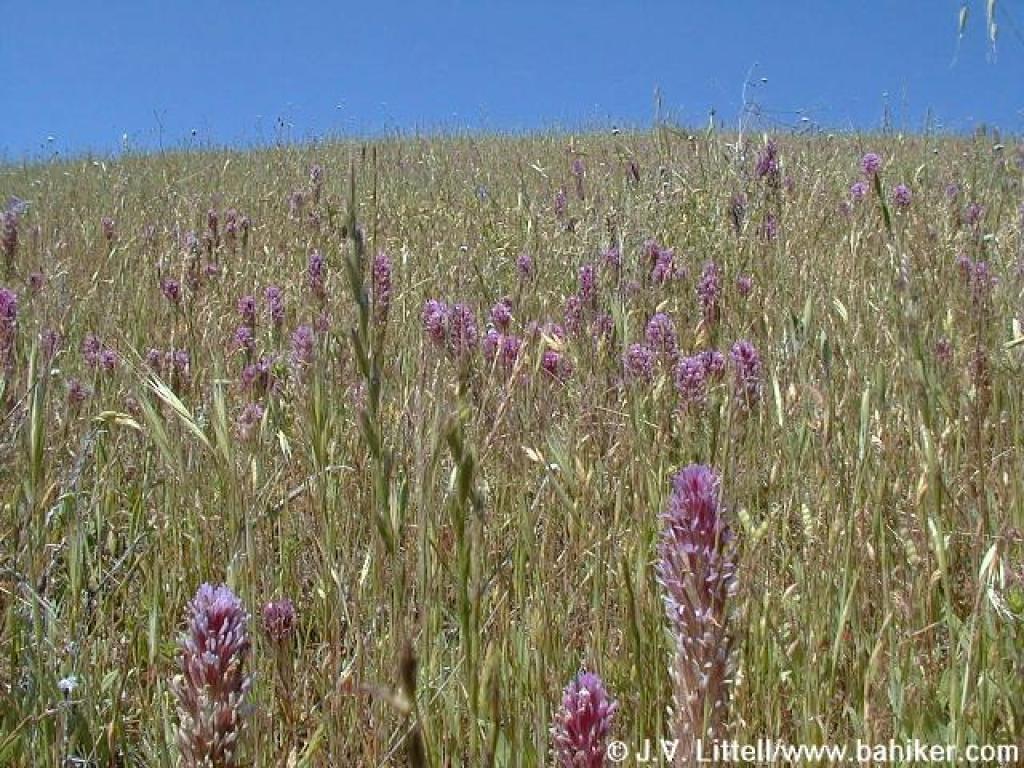 Owl's clover |
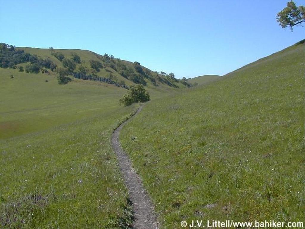 Path to China Wall |
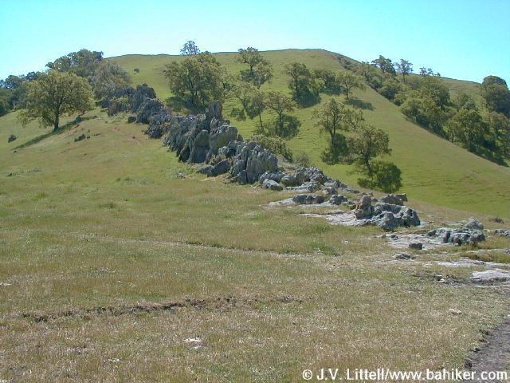 China Wall |
||||
 China Wall |
 Turn around point |
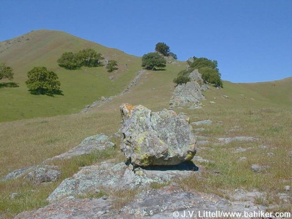
 Diablo view |
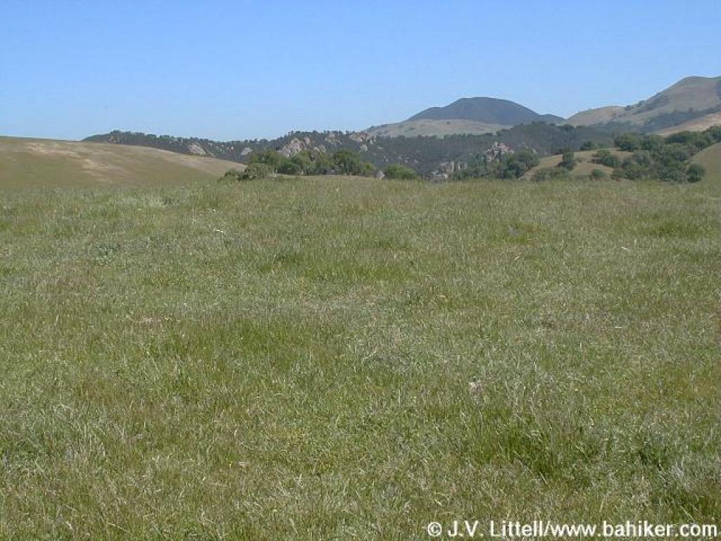 Castle Rocks are barely visible |
||||
 Back on Briones to Mount Diablo Trail, heading back into Diablo Foothills |
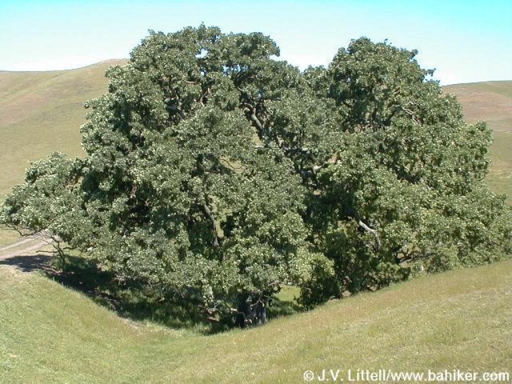 Valley oak |
 Fiddlenecks |
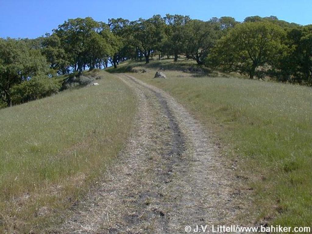
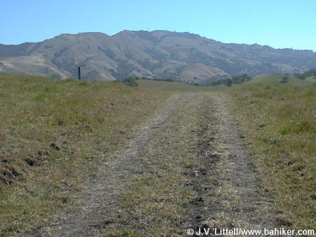
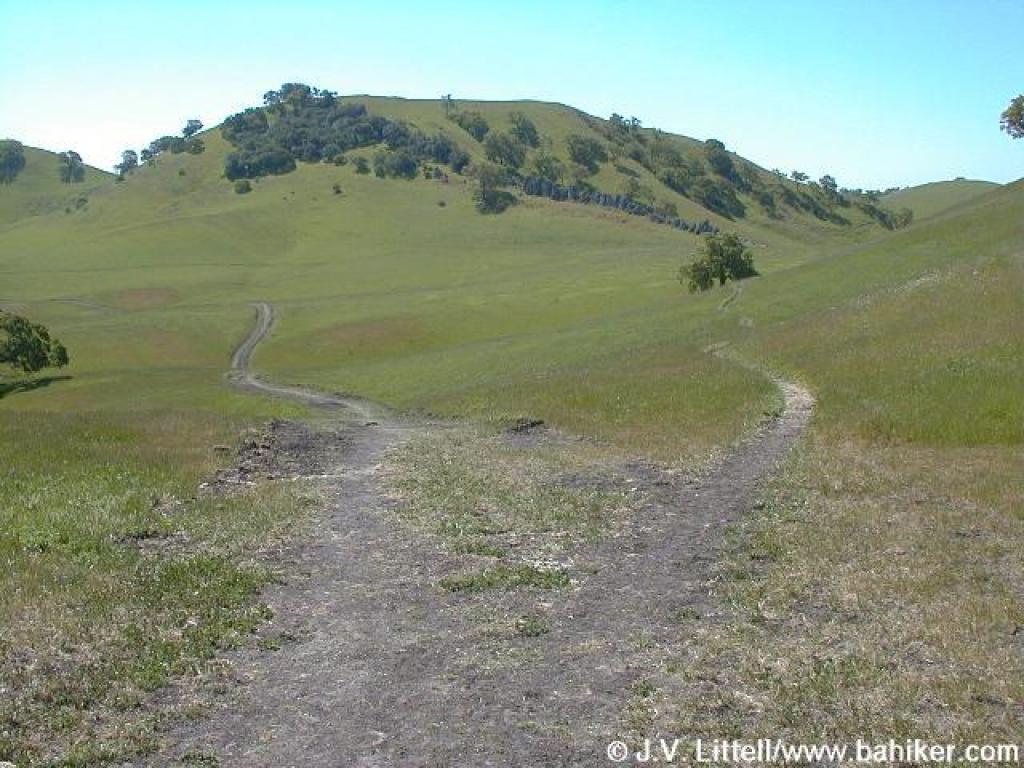
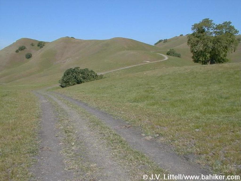
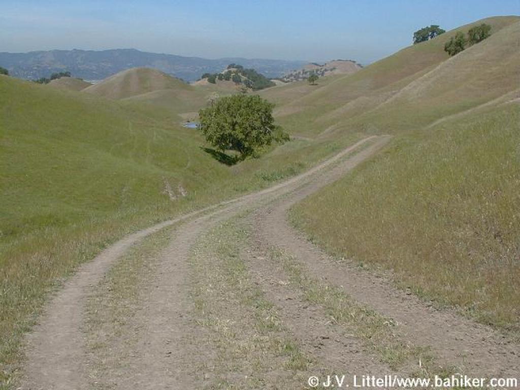
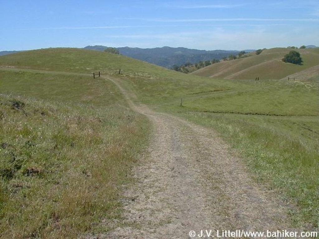
 Briones to Mount Diablo Trail |
||||
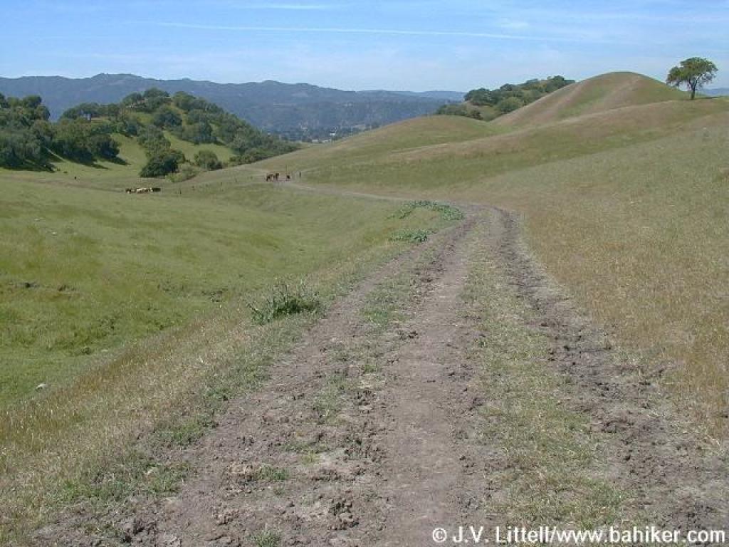
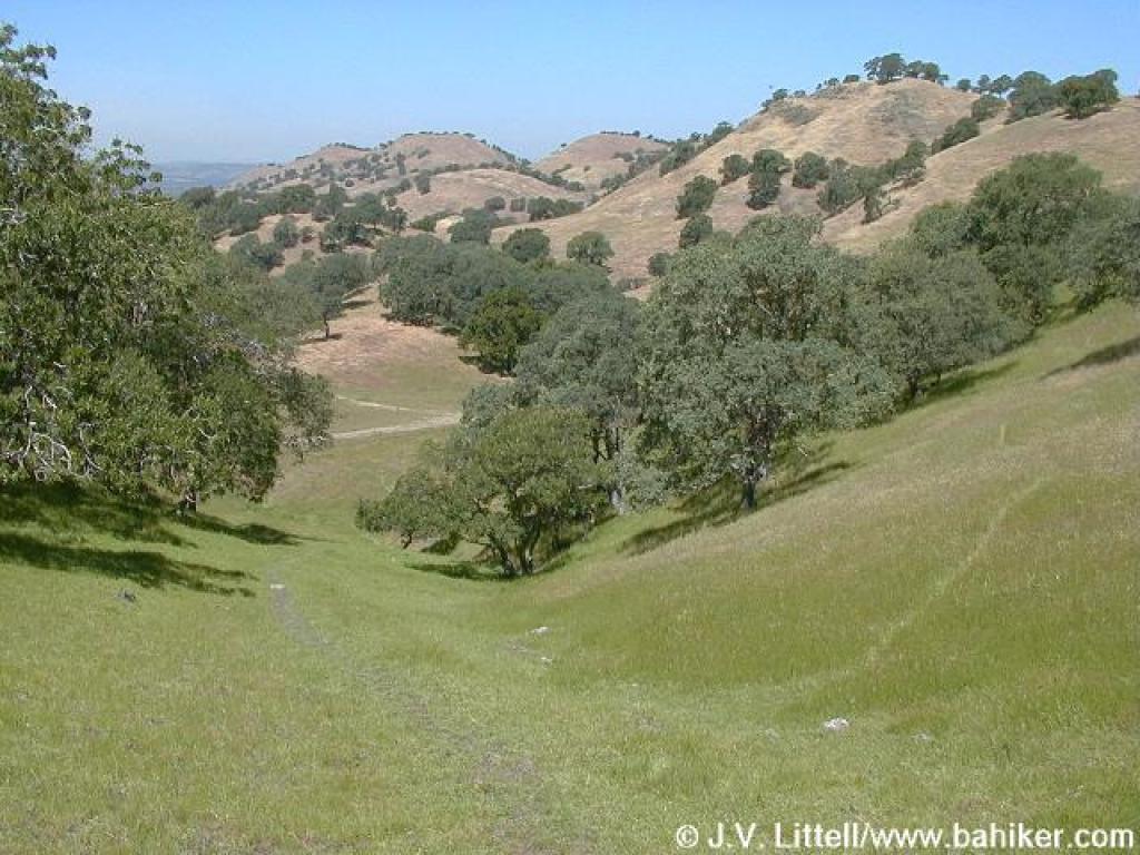
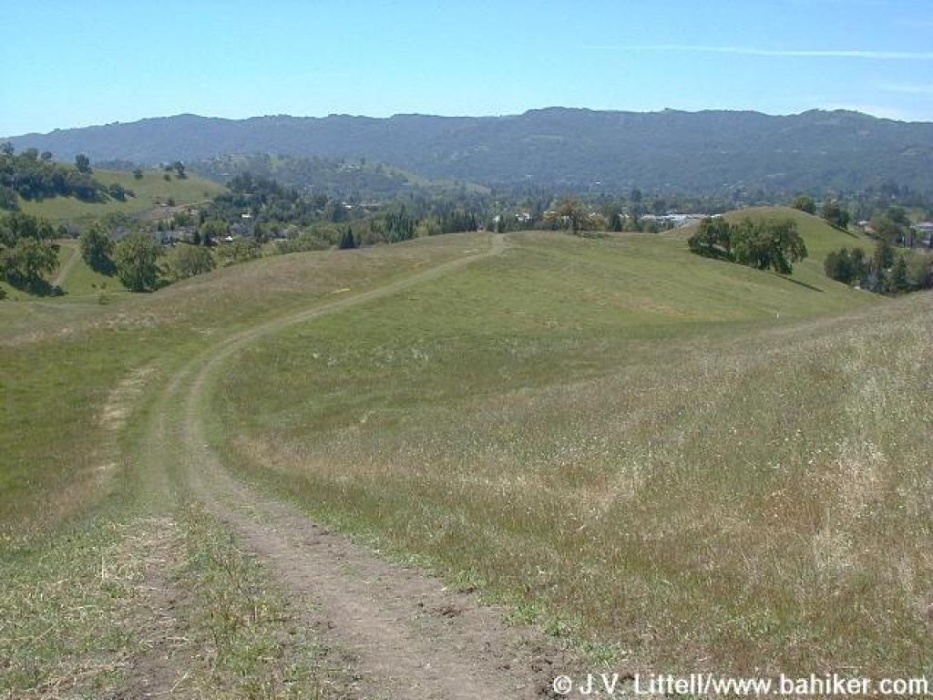
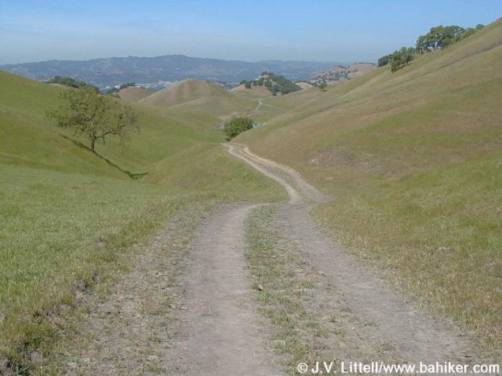 Descending |
 Patches of purple vetch |
 Briones to Mount Diablo Trail |
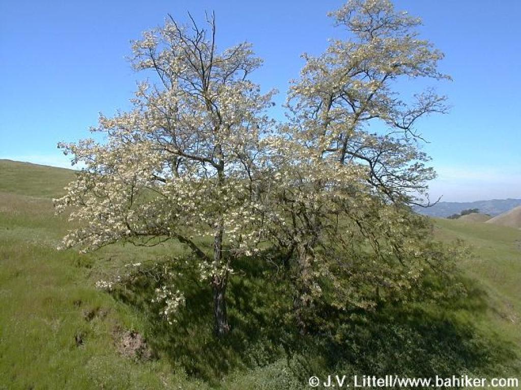 Flowering tree |
||||
 Shortcut trail heads left |
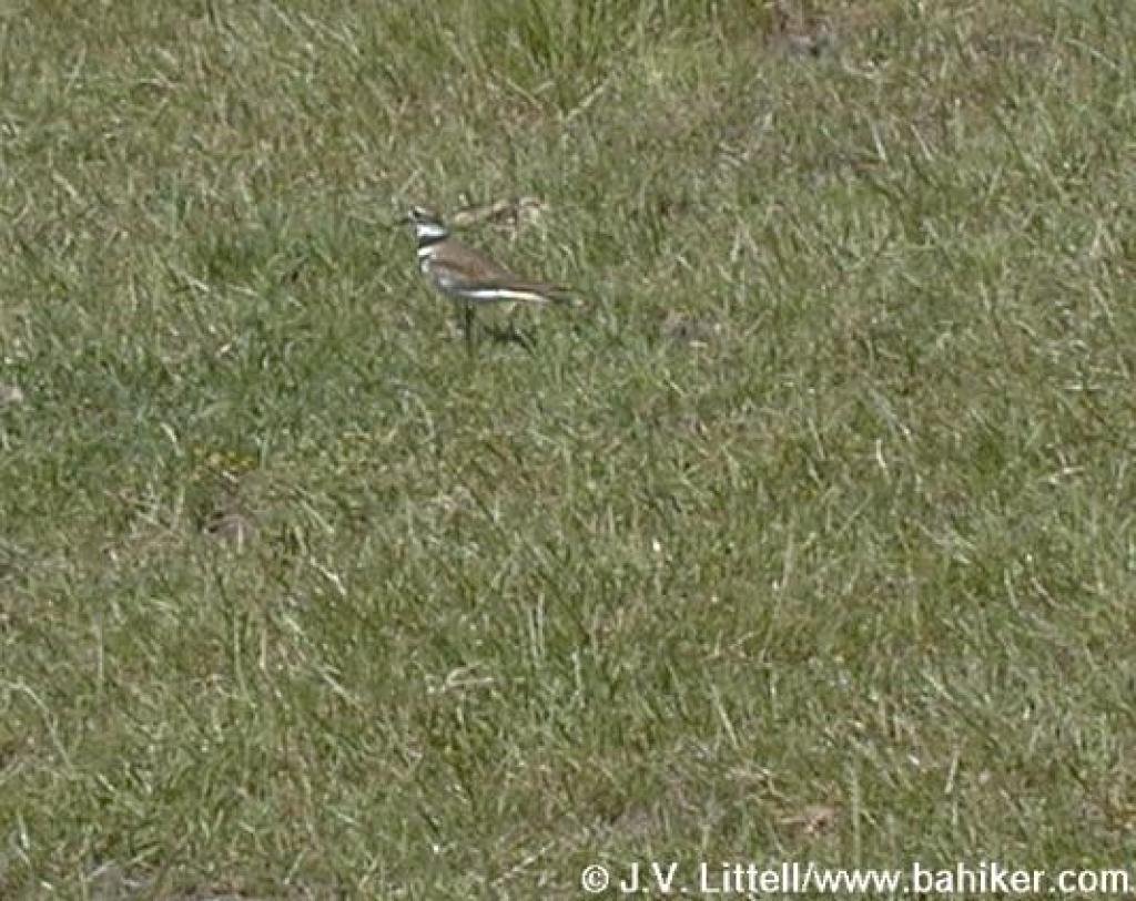 Bird |
 Junction |
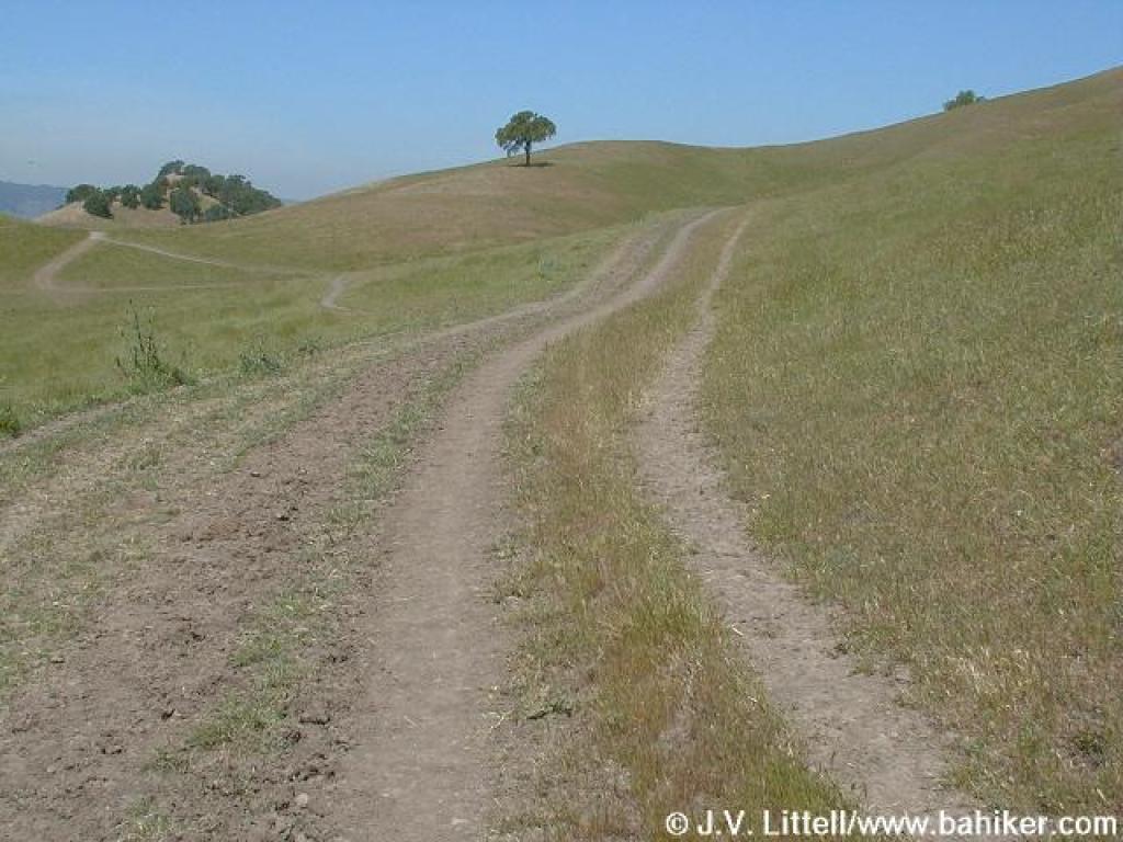
 Stonegate Trail |
||||
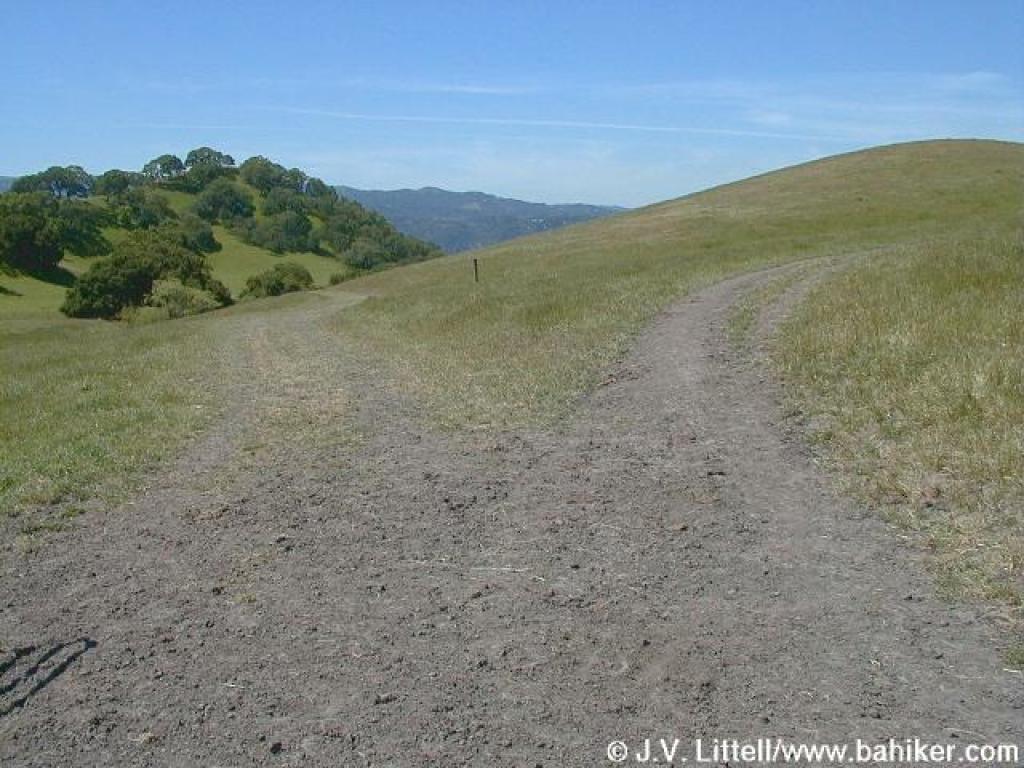 Split; actual junction is a few feet further |
 Junction |
 Approaching junction |
 Can you find the trail here? It's a not-visible path to the right and downhill |
||||
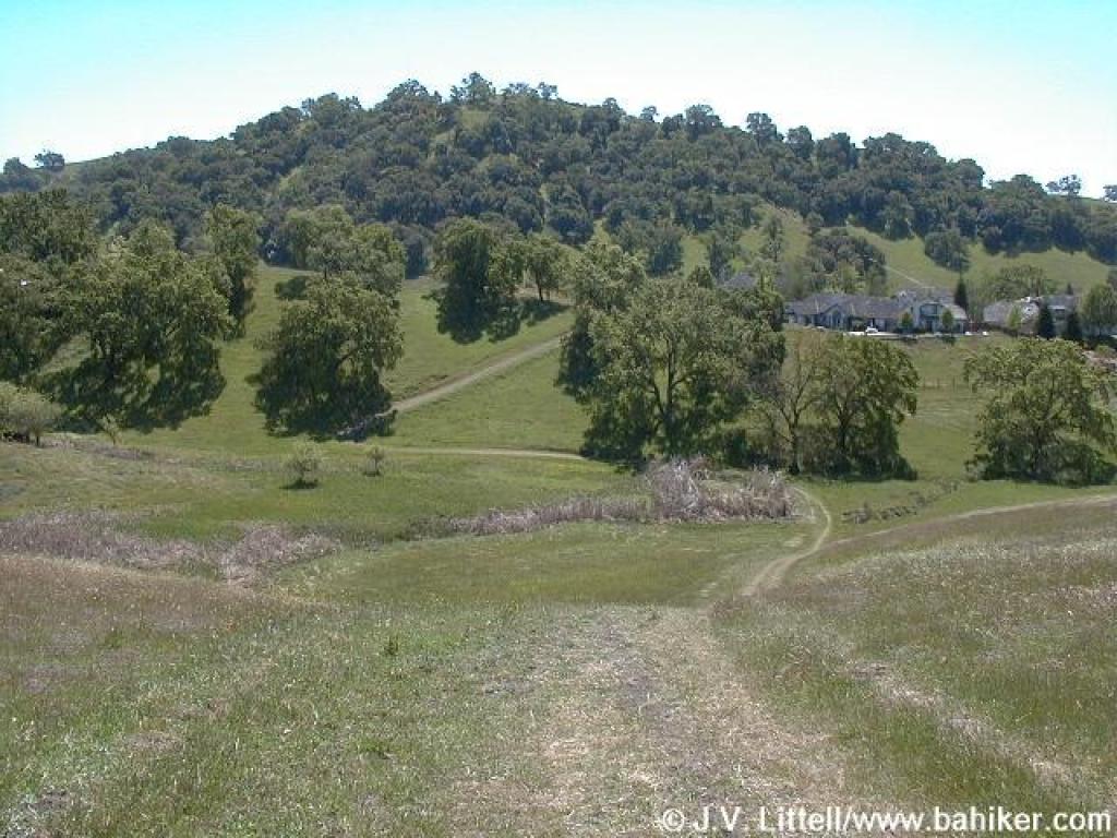
 Descending |
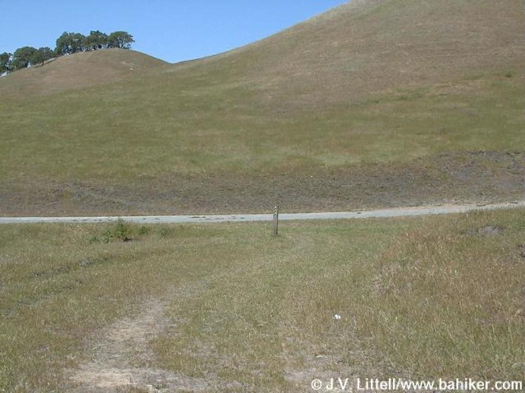
 Approaching gate and junction |
 Steep |
 View |
||||
 Junction |
 Owl's clover |
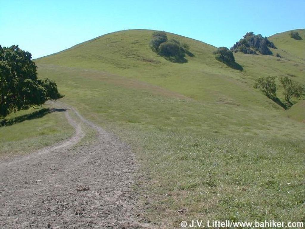
 Foothills Trail |
 Approaching junction |
||||
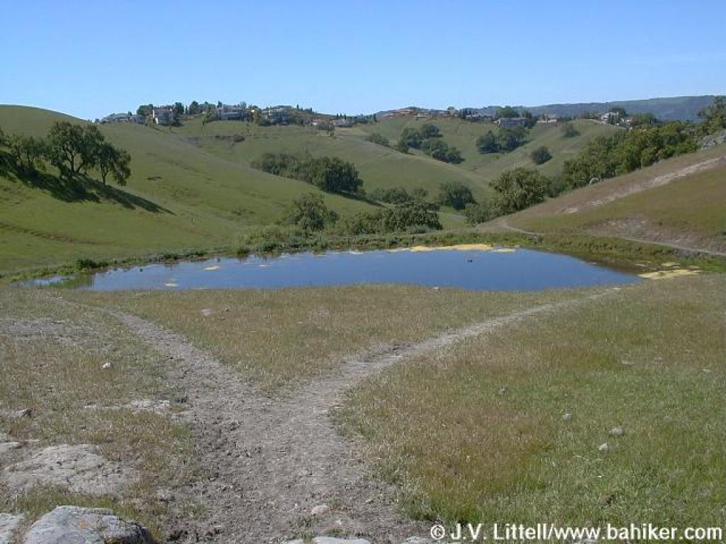
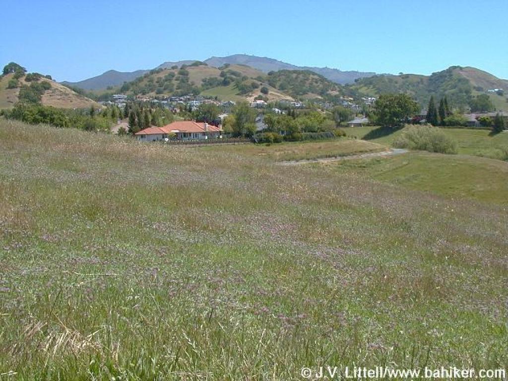
 Trail dips to a pond |
 Clover in the grass |
 Gate |
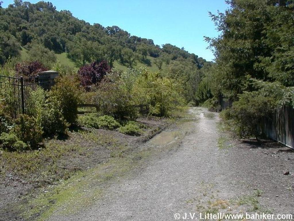 Returning through edge of residential neighborhood |
||||
Go to Bay Area Hiker Diablo Foothills page Go to Bay Area Hiker Home page |
|||||||